West Colquite Wood
Wood, Forest in Cornwall
England
West Colquite Wood
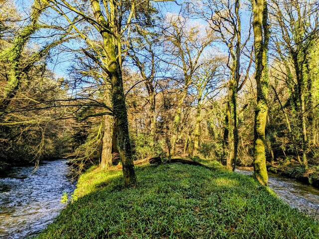
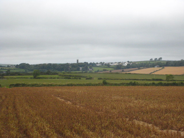
West Colquite Wood is a picturesque woodland located in Cornwall, England. Covering an area of approximately 50 acres, it is a haven for nature enthusiasts and those seeking tranquility amidst the beauty of the natural world. The wood is situated near the village of St. Cleer, within close proximity to Bodmin Moor.
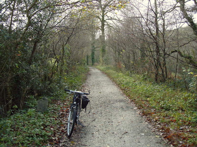
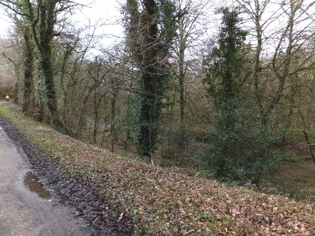
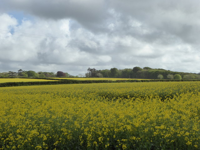
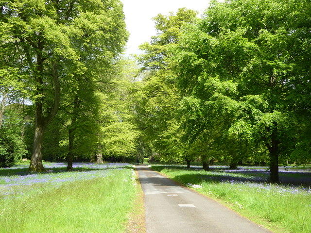
The woodland is primarily composed of native broadleaf species, including oak, beech, and ash trees. These towering giants provide a dense canopy, creating a shaded and cool environment beneath. The forest floor is carpeted with a variety of wildflowers, ferns, and mosses, adding to the enchanting atmosphere.
West Colquite Wood is home to a diverse range of wildlife, making it a popular spot for birdwatching and animal spotting. Visitors may be lucky enough to catch sight of resident woodland birds such as woodpeckers, nuthatches, and tawny owls. Roe deer and foxes are also known to roam the area, adding a touch of wilderness to the setting.
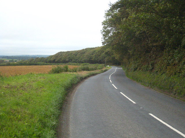
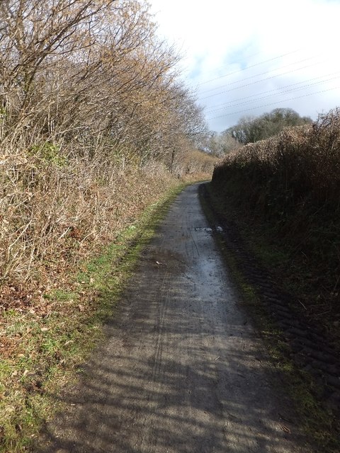
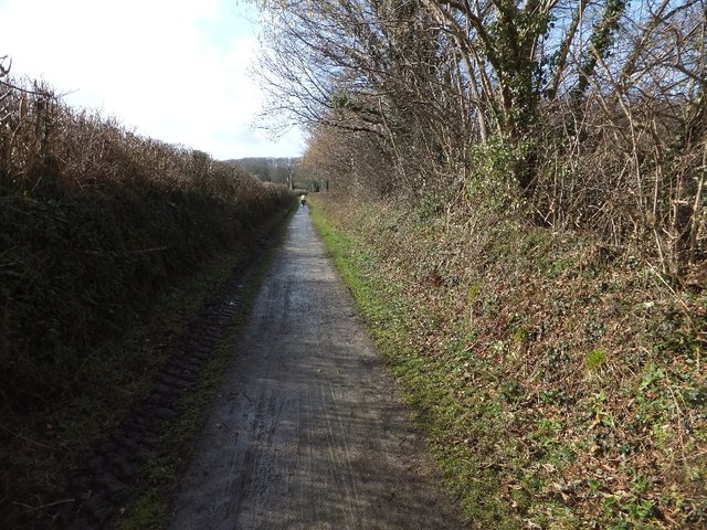
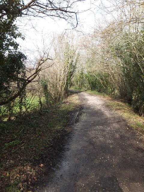
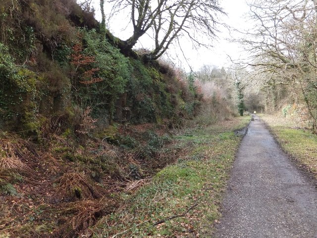
The wood offers several trails and paths that wind through the dense vegetation, allowing visitors to fully immerse themselves in the natural surroundings. The peaceful atmosphere and the sound of rustling leaves and birdsong make it an ideal spot for leisurely walks, picnics, or simply unwinding in nature.
West Colquite Wood is a cherished natural gem in Cornwall, providing a sanctuary for both humans and wildlife alike. Its tranquil beauty and rich biodiversity make it a must-visit destination for those seeking a connection with nature in this part of the world.
If you have any feedback on the listing, please let us know in the comments section below.
West Colquite Wood Images
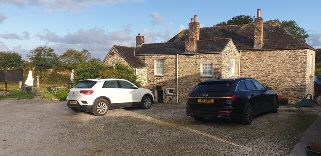
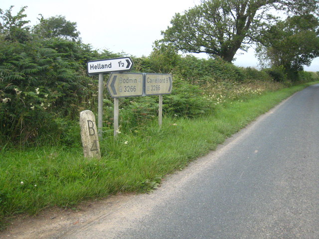
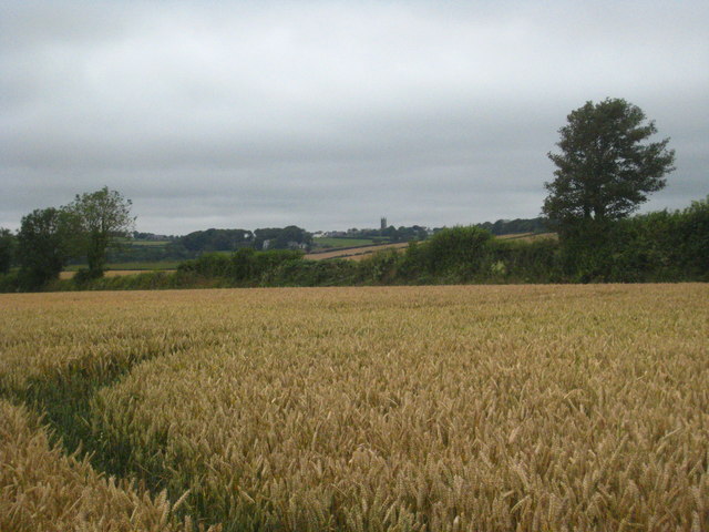
Images are sourced within 2km of 50.499962/-4.7458777 or Grid Reference SX0570. Thanks to Geograph Open Source API. All images are credited.
West Colquite Wood is located at Grid Ref: SX0570 (Lat: 50.499962, Lng: -4.7458777)
Unitary Authority: Cornwall
Police Authority: Devon and Cornwall
What 3 Words
///mock.today.eager. Near Helland, Cornwall
Nearby Locations
Related Wikis

Pencarrow
Pencarrow (Cornish: Pennkarow) is a Grade II*-listed country house in the civil parish of Egloshayle, in north Cornwall, England, United Kingdom. It is...
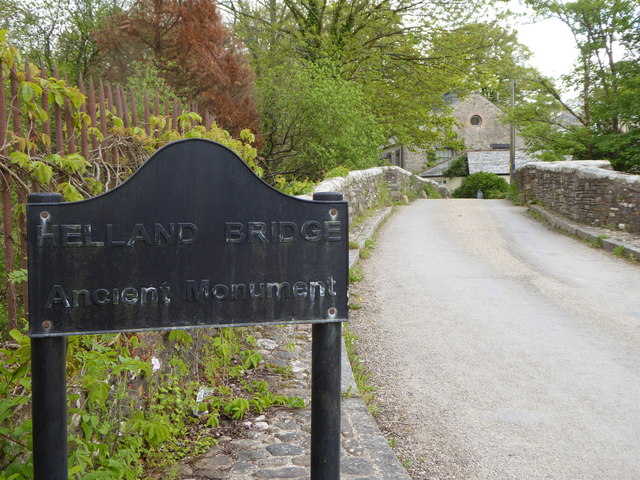
Hellandbridge
Hellandbridge is a hamlet in Cornwall, England, UK. It is about a mile west-northwest of the village of Helland (where the population at the 2011 census...

Tredethy
Tredethy is a house and estate in the civil parish of St Mabyn, Cornwall, UK, at Grid reference SX 06 71. It occupies seven acres and is one of a number...

St Conan's Church, Egloshayle
The Church of St Conan is an Anglican church on the A389 road near Washaway in Egloshayle, Cornwall, England, UK. == History == Built at a cost of £490...
Have you been to West Colquite Wood?
Leave your review of West Colquite Wood below (or comments, questions and feedback).