Bodwannick Wood
Wood, Forest in Cornwall
England
Bodwannick Wood
Bodwannick Wood is a picturesque woodland located in Cornwall, England. Covering an area of approximately 20 acres, this enchanting forest is nestled within the rolling countryside, offering a tranquil and serene escape for visitors.
The wood is predominantly composed of broadleaf trees, including oak, beech, and ash, creating a rich and diverse ecosystem. The dense canopy provides shade and shelter for a variety of wildlife, making it a popular destination for nature enthusiasts and birdwatchers. Visitors may catch a glimpse of woodland birds such as woodpeckers, thrushes, and owls, or even spot elusive creatures like badgers and foxes roaming the forest floor.
The wood is crisscrossed by a network of well-maintained footpaths, allowing visitors to explore its hidden nooks and crannies. As they wander through the peaceful surroundings, they will encounter babbling brooks, wildflowers, and patches of vibrant moss, adding to the wood's ethereal charm.
Bodwannick Wood is also steeped in history, with remnants of ancient Celtic settlements and burial mounds scattered throughout the area. These historical sites add an intriguing dimension to the woodland, allowing visitors to imagine the lives of those who inhabited the area centuries ago.
Whether visitors seek a quiet escape into nature, a chance to observe wildlife, or an opportunity to immerse themselves in history, Bodwannick Wood offers a captivating and serene experience for all who venture into its leafy embrace.
If you have any feedback on the listing, please let us know in the comments section below.
Bodwannick Wood Images
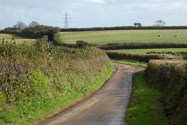
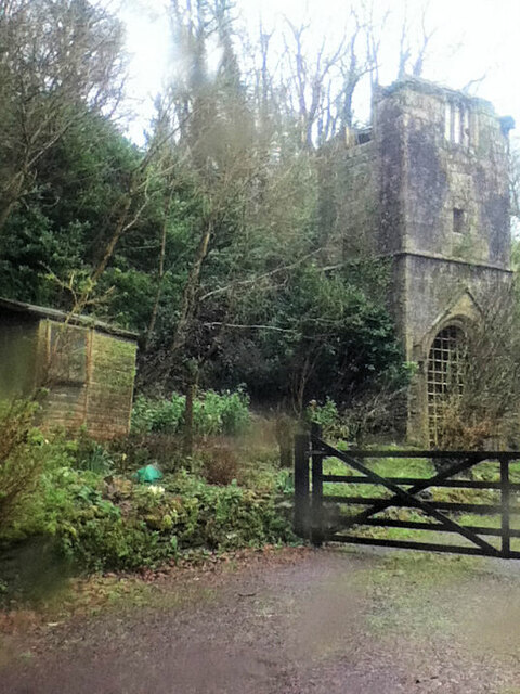
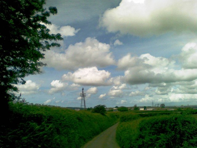
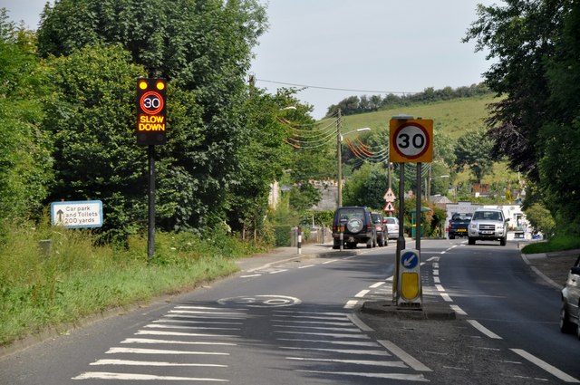
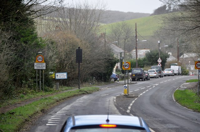
Images are sourced within 2km of 50.454441/-4.7700374 or Grid Reference SX0365. Thanks to Geograph Open Source API. All images are credited.


Bodwannick Wood is located at Grid Ref: SX0365 (Lat: 50.454441, Lng: -4.7700374)
Unitary Authority: Cornwall
Police Authority: Devon and Cornwall
What 3 Words
///flattery.comic.haystack. Near Bodmin, Cornwall
Nearby Locations
Related Wikis

Bodwannick
Bodwannick Manor is a house north of Lanivet in mid Cornwall, England, UK. The gardens are a visitor attraction. == References == == External links... ==
Lamorick
Lamorick is a hamlet in Cornwall, England. It is half a mile north of Lanivet {where the population for the 2011 census was included.} on the A30 main...
Lower Woodley
Lower Woodley is a hamlet in the parish of Lanivet (where the population at the 2011 census was included.), Cornwall, England. Lower Woodley is approximately...

Lanivet
Lanivet (Cornish: Lanneves) is a village and civil parish in Cornwall, England, United Kingdom. The village is situated approximately 2+1⁄2 miles (4.0...
Nearby Amenities
Located within 500m of 50.454441,-4.7700374Have you been to Bodwannick Wood?
Leave your review of Bodwannick Wood below (or comments, questions and feedback).