Penwithick Park

Wood, Forest in Cornwall

England

Penwithick Park

Stannary Road (A391) north of Stenalees
Stannary Road (A391) north of Stenalees Credit: David Smith

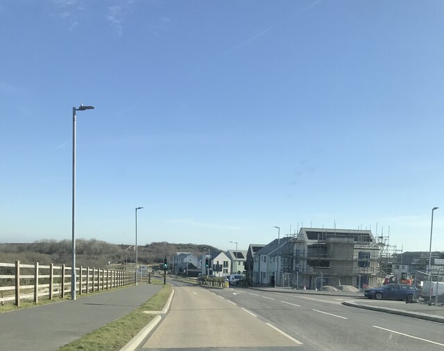
Penwithick Park is a picturesque woodland area located in the county of Cornwall, England. It covers an expansive area of land and is known for its natural beauty and diverse flora and fauna. The park is situated in the village of Penwithick, near the town of St Austell.

The park boasts a stunning collection of trees, forming a dense forest that provides a haven for wildlife. Visitors can expect to see a variety of tree species, including oak, beech, and birch, creating a rich and vibrant landscape. The dense canopy of the forest offers shade and shelter, making it an ideal place for leisurely walks and outdoor activities.

In addition to its natural beauty, Penwithick Park offers numerous amenities for visitors. There are well-maintained walking trails that crisscross the park, providing ample opportunities for hiking and exploring. Along these trails, visitors may encounter charming streams and small ponds, adding to the park's serene atmosphere.

The park also features picnic areas, where visitors can relax and enjoy a meal amidst the tranquil surroundings. These picnic spots offer picturesque views and are perfect for families or groups of friends looking to spend a leisurely day in nature.

Overall, Penwithick Park is a must-visit destination for nature enthusiasts and those seeking a peaceful escape from the hustle and bustle of everyday life. Its lush woodlands, diverse wildlife, and well-maintained facilities make it an idyllic spot for outdoor recreation and relaxation.

If you have any feedback on the listing, please let us know in the comments section below.

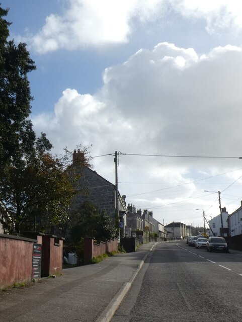
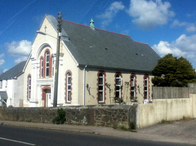
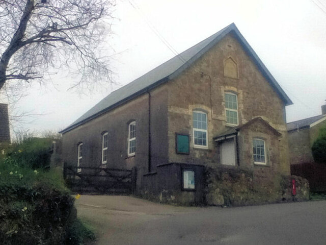
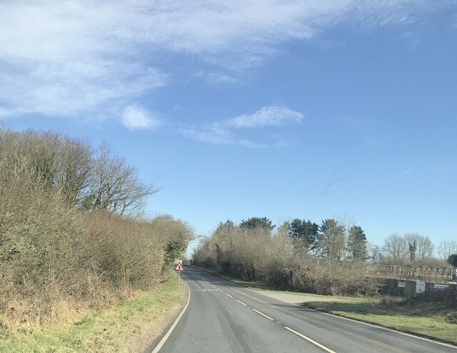
Penwithick Park Images

Images are sourced within 2km of 50.372824/-4.7743504 or Grid Reference SX0256. Thanks to Geograph Open Source API. All images are credited.

Stannary Road (A391) north of Stenalees
Bridge over road at Carluddon With painted graffiti; the bridge carries a farm track
Bridge over road at Carluddon
With painted graffiti; the bridge carries a farm track
Former Wesleyan Chapel at Penwithick
Rescorla Primitive Methodist chapel 1831
Road at Knightor Approaching the Trebal refinery.
Road at Knightor
Approaching the Trebal refinery.
New houses at Carluddon
Former Wesleyan Methodist Chapel
St. Peter the Apostle's Church
Former Wesleyan Methodist Chapel
Teverbyn Cemetery
Teverbyn Cemetery
The A391 at Stenalees village sign
Roadworks at the A391, B3274 island
The A391 St Austell bypass
Disused tip at Carluddon
Bridge over the A391 at Carluddon
Footbridge over the A391 near Scredda
A Quarry Road joins the A391 at Penwithick
Roundabout at Stenalees View from the B3274 where it meets the A391.  The B road turns right, the A road enters from the left and continues straight ahead.
Roundabout at Stenalees
View from the B3274 where it meets the A391. The B road turns right, the A road enters from the left and continues straight ahead.
Show me another place!

Penwithick Park is located at Grid Ref: SX0256 (Lat: 50.372824, Lng: -4.7743504)

Unitary Authority: Cornwall

Police Authority: Devon and Cornwall

What 3 Words

///political.curtains.snapping. Near Bugle, Cornwall

Related Wikis

Resugga Green

Resugga Green is a hamlet in Cornwall, England, UK. It is half a mile north of Penwithick Stents near St Austell. == References ==
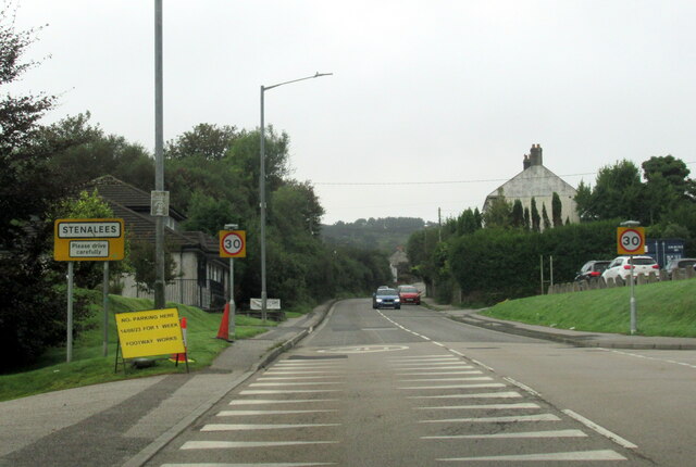
Penwithick

Penwithick (Cornish: Pennwydhek) or Penwithick Stents is a village in Cornwall, England, United Kingdom. It is situated 2.5 miles (4.0 km) north of St...

Knightor

Knightor is a hamlet in the parish of Treverbyn, Cornwall, England. == References ==

St Jude's Church, Plymouth

St Jude's Church is a Church of England church in Plymouth, Devon, England. It was designed by the Plymouth architect James Hine and constructed in 1875...

Nearby Amenities

Located within 500m of 50.372824,-4.7743504
Penwithick
Is In: Cornwall, England, UK
Name Kw: Pennwydhek
Place: village
Wikidata: Q7165383
Lat/Long: 50.3732974/-4.7806413
Bus Stop
Penwithick Road
Bus: yes
Long Name: Penwithick Road (N-bound)
Naptan AdministrativeAreaCode: 73
Naptan AtcoCode: 0800COC31291
Naptan Bearing: N
Naptan BusStopType: MKD
Naptan CommonName: Penwithick Road
Naptan Crossing: Montgomery Road
Naptan Indicator: N-bound
Naptan LocalityName: Penwithick
Naptan ModificationDate: 2016-11-21 13:07
Naptan NaptanCode: cordjmgp
Naptan NptgLocalityCode: E0004640
Naptan RegionCode: cordjmgp
Naptan Street: Penwithick Road
Naptan Verified: no
Public Transport: platform
Source: naptan_import
Was Name: Franks Furniture Store
Was Naptan CommonName: Franks Furniture Store
Lat/Long: 50.3725742/-4.7804165
Post Box
Ref: PL26 205
Lat/Long: 50.3737164/-4.7756535
Hallaze
Name Kw: Hallas
Place: hamlet
Lat/Long: 50.3736036/-4.7745771
Source: OS OpenData StreetView
Lat/Long: 50.372844/-4.7783314
Source: OS OpenData StreetView
Lat/Long: 50.3713302/-4.7766096
Post Office
Penwithick Post Office
Addr Postcode: PL26 8UQ
Branch: Penwithick
Brand: Post Office
Brand Wikidata: Q1783168
Check Date: 2020-02-20
Contact Website: https://www.postoffice.co.uk/branch-finder/4395395/penwithick
Ref Pol Id: 15089
Lat/Long: 50.372849/-4.780442
Penwithick P O & Stores
Addr City: Penwithick
Addr Housenumber: 17
Addr Postcode: PL26 8UQ
Addr Street: Penwithick Road
Opening Hours: Mo-Fr 07:00-22:00; Su 09:00-21:00
Phone: +44 1726 850248
Shop: supermarket
Website: http://supermarket.londis.co.uk/43112-penwithick-p-o-stores
Lat/Long: 50.3729043/-4.7803885
Fast Food
Penwithick Fish and Chips
Cuisine: fish_and_chips
Lat/Long: 50.3732121/-4.7804206
Bus Stop
Pengrowyn
Bus: yes
Long Name: Penwithick Pengrowyn (S-bound)
Naptan AdministrativeAreaCode: 73
Naptan AtcoCode: 0800COC31292
Naptan Bearing: S
Naptan BusStopType: CUS
Naptan CommonName: Pengrowyn
Naptan Indicator: S-bound
Naptan LocalityName: Penwithick
Naptan ModificationDate: 2021-07-07 13:30
Naptan NptgLocalityCode: E0004640
Naptan RegionCode: cordjmjg
Naptan Street: Penwithick Road
Naptan Verified: no
Public Transport: platform
Lat/Long: 50.37081/-4.7798
Bus Stop
Pengrowyn
Bus: yes
Long Name: Penwithick, opp Pengrowyn
Naptan AdministrativeAreaCode: 73
Naptan AtcoCode: 0800COC31293
Naptan Bearing: NW
Naptan BusStopType: CUS
Naptan CommonName: Pengrowyn
Naptan Indicator: opp
Naptan LocalityName: Penwithick
Naptan ModificationDate: 2015-04-25 12:22
Naptan NptgLocalityCode: E0004640
Naptan RegionCode: cordjmjd
Naptan Street: Penwithick Road
Naptan Verified: no
Public Transport: platform
Lat/Long: 50.3708/-4.77996
Bus Stop
Penwithick Road
Bus: yes
Long Name: Penwithick Road (S-bound)
Naptan AdministrativeAreaCode: 73
Naptan AtcoCode: 0800COC31290
Naptan Bearing: S
Naptan BusStopType: CUS
Naptan CommonName: Penwithick Road
Naptan Indicator: S-bound
Naptan LocalityName: Penwithick
Naptan ModificationDate: 2016-11-21 13:07
Naptan NptgLocalityCode: E0004640
Naptan RegionCode: cordjmgw
Naptan Street: Penwithick Road
Naptan Verified: no
Public Transport: platform
Lat/Long: 50.37248/-4.78029
The data included in this document is from www.openstreetmap.org. The data is made available under ODbL.

Have you been to Penwithick Park?

Leave your review of Penwithick Park below (or comments, questions and feedback).