Quarryclose Plantation

Wood, Forest in Cornwall

England

Quarryclose Plantation

Carrick : The A30 The A30 heads down the hill and back up again as it heads through Cornwall.
Carrick : The A30 Credit: Lewis Clarke

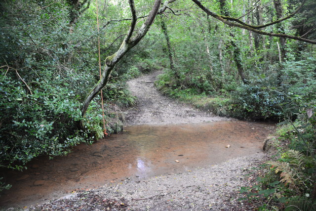
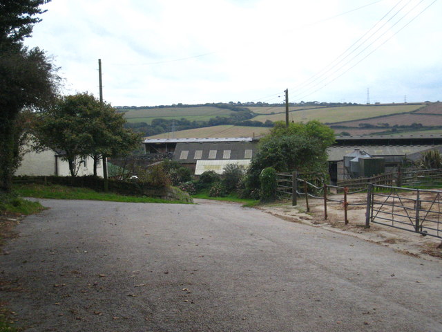
Quarryclose Plantation is a picturesque woodland area located in Cornwall, England. Covering a total area of approximately 150 acres, the plantation is known for its diverse range of tree species including oak, beech, and pine. The woodland is managed by the Forestry Commission, ensuring the preservation and sustainable management of the site.

Visitors to Quarryclose Plantation can enjoy leisurely walks along the well-maintained paths that wind through the trees, providing opportunities to observe the native wildlife and bird species that call the woodland home. The peaceful and tranquil atmosphere of the plantation makes it a popular destination for nature enthusiasts, hikers, and those seeking a quiet retreat from the hustle and bustle of everyday life.

In addition to its recreational opportunities, Quarryclose Plantation also plays a vital role in providing ecosystem services such as carbon sequestration and habitat for wildlife. The plantation is a valuable asset to the local community and contributes to the overall biodiversity of the region.

If you have any feedback on the listing, please let us know in the comments section below.

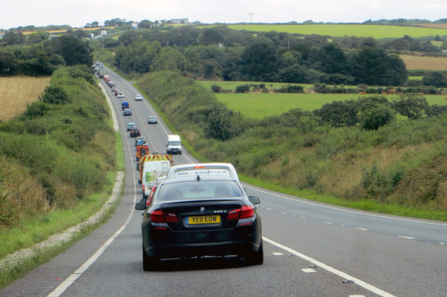
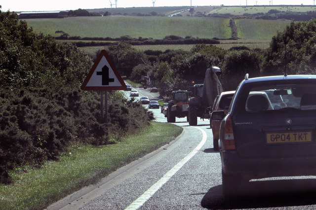
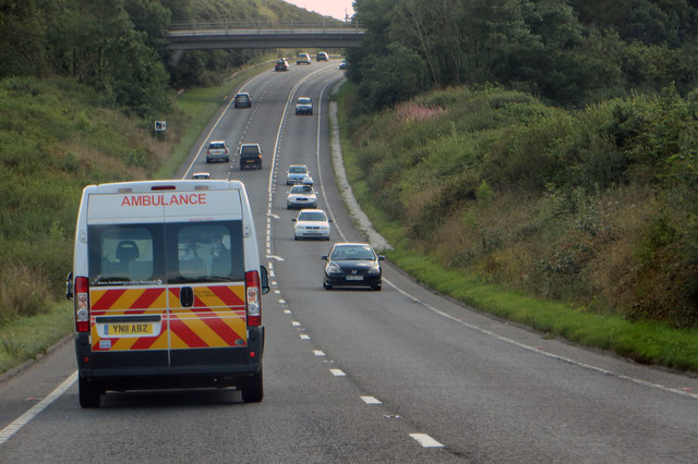
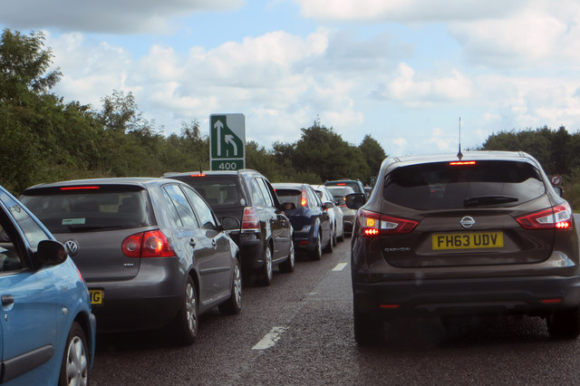
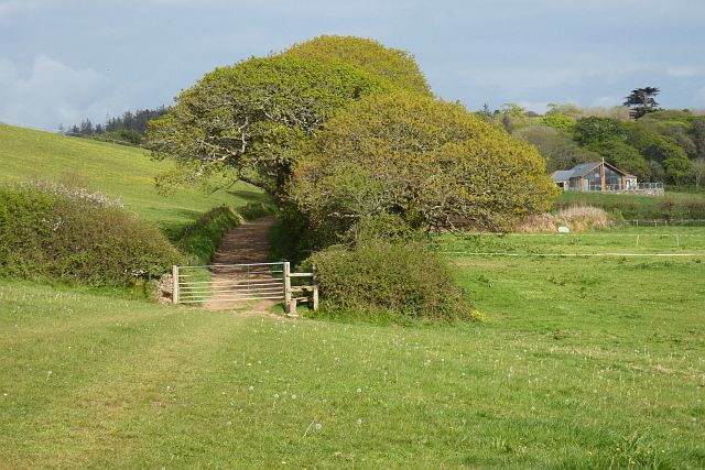
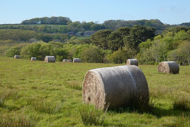
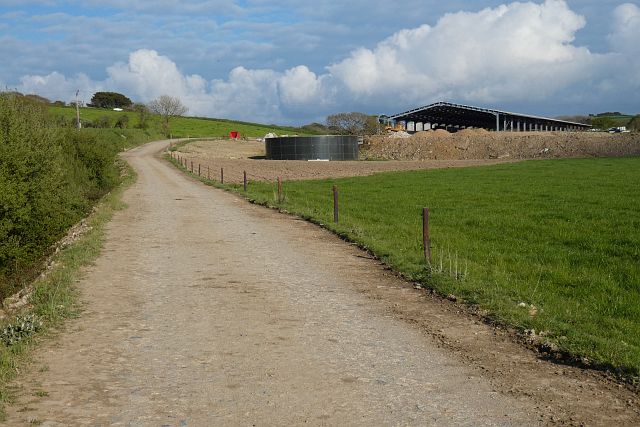
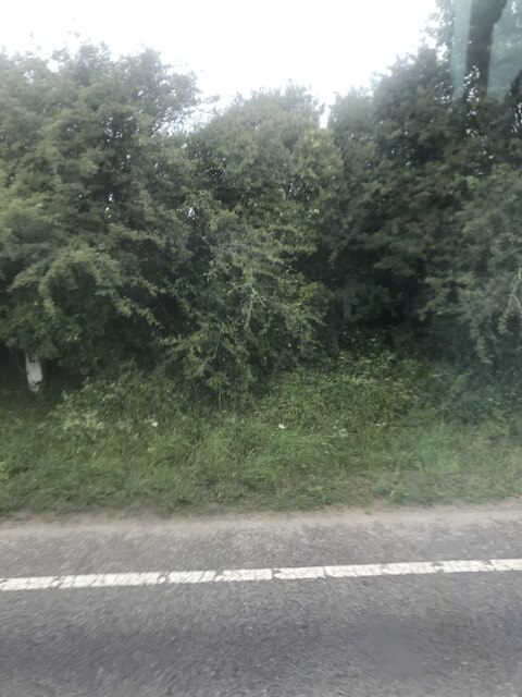
Quarryclose Plantation Images

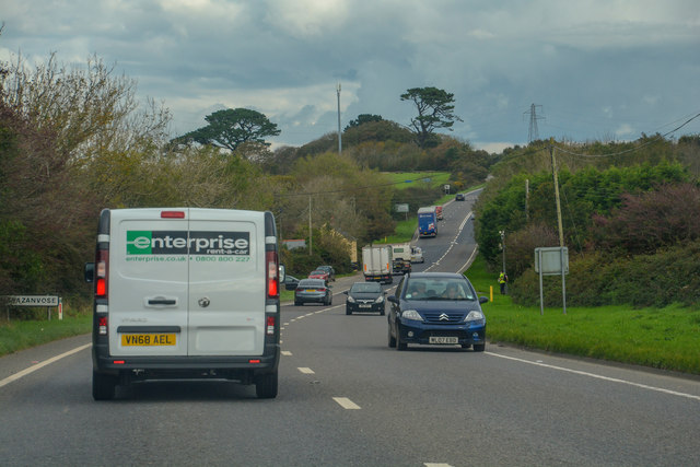
Images are sourced within 2km of 50.315458/-5.0925919 or Grid Reference SW7950. Thanks to Geograph Open Source API. All images are credited.

Carrick : The A30 The A30 heads down the hill and back up again as it heads through Cornwall.
Carrick : The A30
The A30 heads down the hill and back up again as it heads through Cornwall.
On the A30 Traffic on the A30 near Zelah.
On the A30
Traffic on the A30 near Zelah.
The A30 Two heavy-duty farm vehicles slow things down at Marazanvose.
The A30
Two heavy-duty farm vehicles slow things down at Marazanvose.
Near Zelah The A30 approaching the bridge carrying the farm track to Tolgroggan Farm.
Near Zelah
The A30 approaching the bridge carrying the farm track to Tolgroggan Farm.
The A30 Congestion builds up where two lanes merge at Marazanvose.
The A30
Congestion builds up where two lanes merge at Marazanvose.
Ford at Wheal Frances This ford is found along the track leading to Wheal Frances.
Ford at Wheal Frances
This ford is found along the track leading to Wheal Frances.
Old Milestone by the A30, south west of Marazanvose Carved stone post by the A30, in parish of ST ALLEN (CARRICK District), West of Marazanvose, by the village sign, on North side of road. Erected by the parish in the 18th century. 

Inscription reads:-
: BODMIN / 21 M : : 36 / L : : PENZANCE / 26 M :  

Grade II Listed. List Entry Number: 1137011
<span class="nowrap"><a title="https://historicengland.org.uk/listing/the-list/list-entry/1137011" rel="nofollow ugc noopener" href="https://historicengland.org.uk/listing/the-list/list-entry/1137011">Link</a><img style="margin-left:2px;" alt="External link" title="External link - shift click to open in new window" src="https://s1.geograph.org.uk/img/external.png" width="10" height="10"/></span>

Milestone Society National ID: CW_PZBM26.
Old Milestone by the A30, south west of Marazanvose
Carved stone post by the A30, in parish of ST ALLEN (CARRICK District), West of Marazanvose, by the village sign, on North side of road. Erected by the parish in the 18th century. Inscription reads:- : BODMIN / 21 M : : 36 / L : : PENZANCE / 26 M : Grade II Listed. List Entry Number: 1137011 LinkExternal link Milestone Society National ID: CW_PZBM26.
Batters Engine House, West Chiverton Mine Seen from outside Callestick Farm. Built 1868-9 to house an 80" Cornish pumping engine to drain a lead mine. Listed Grade II. This is an unusual house because the chimney is in the centre of the rear wall (usually at one rear corner) and the cylinder opening is in a side wall (opposite the visible wall). This use emphasises that Cornish engines were used to drain not just tin or copper mines in the County.
Batters Engine House, West Chiverton Mine
Seen from outside Callestick Farm. Built 1868-9 to house an 80" Cornish pumping engine to drain a lead mine. Listed Grade II. This is an unusual house because the chimney is in the centre of the rear wall (usually at one rear corner) and the cylinder opening is in a side wall (opposite the visible wall). This use emphasises that Cornish engines were used to drain not just tin or copper mines in the County.
Old Direction Sign - Signpost, Little Callestock, Perranzabuloe Parish Onion finial - Third arm missing; Bartle by the UC road, in parish of Perranzabuloe (Carrick District), Little Callestock, on bank against hedge in hamlet.

Surveyed

Milestone Society National ID: CW_SW7951.
Old Direction Sign - Signpost, Little Callestock, Perranzabuloe Parish
Onion finial - Third arm missing; Bartle by the UC road, in parish of Perranzabuloe (Carrick District), Little Callestock, on bank against hedge in hamlet. Surveyed Milestone Society National ID: CW_SW7951.
Perranzabaloe : A30 The A30 heading through the Perranzabaloe parish.
Perranzabaloe : A30
The A30 heading through the Perranzabaloe parish.
Perranzabaloe : Road A road heads off from the A30.
Perranzabaloe : Road
A road heads off from the A30.
Old Milestone by the A30, south west of Marazanvose Carved stone post by the A30, in parish of ST ALLEN (CARRICK District), West of Marazanvose, by the village sign, on North side of road. Erected by the parish in the 18th century.

Inscription reads:-
: BODMIN / 21 M : : 36 / L : : PENZANCE / 26 M : 

Grade II listed. 
List Entry Number: 1137011 <span class="nowrap"><a title="https://historicengland.org.uk/listing/the-list/list-entry/1137011" rel="nofollow ugc noopener" href="https://historicengland.org.uk/listing/the-list/list-entry/1137011">Link</a><img style="margin-left:2px;" alt="External link" title="External link - shift click to open in new window" src="https://s1.geograph.org.uk/img/external.png" width="10" height="10"/></span>

Milestone Society National ID: CW_PZBM26.
Old Milestone by the A30, south west of Marazanvose
Carved stone post by the A30, in parish of ST ALLEN (CARRICK District), West of Marazanvose, by the village sign, on North side of road. Erected by the parish in the 18th century. Inscription reads:- : BODMIN / 21 M : : 36 / L : : PENZANCE / 26 M : Grade II listed. List Entry Number: 1137011 LinkExternal link Milestone Society National ID: CW_PZBM26.
Zelah : A30 Heading along the A30.
Zelah : A30
Heading along the A30.
Pasture, Perranzabuloe A public footpath follows the track climbing to Little Callestock.
Pasture, Perranzabuloe
A public footpath follows the track climbing to Little Callestock.
Farmland, Perranzabuloe Last year's bales in a field to the south of Wheal Frances.  The distant trees are on Caer Kief.
Farmland, Perranzabuloe
Last year's bales in a field to the south of Wheal Frances. The distant trees are on Caer Kief.
Polvenna, Perranzabuloe The track is a public footpath at this point but becomes a bridleway as it passes the modern cattle shed.
Polvenna, Perranzabuloe
The track is a public footpath at this point but becomes a bridleway as it passes the modern cattle shed.
Farmland, Perranzabuloe A footpath follows the edge of this arable field on Polgoda Downs. St Agnes Beacon is seen hazily in the distance.
Farmland, Perranzabuloe
A footpath follows the edge of this arable field on Polgoda Downs. St Agnes Beacon is seen hazily in the distance.
Old Milestone by A30, West of Marazanvose The Milestone is located by the village sign on the North of the road.  Parish of St Allen (Carrick District). Carved stone post, erected by the parish in the 18th Century, minor edge chips. An earlier photograph can be found here: <a title="https://www.geograph.org.uk/photo/5623483" href="https://www.geograph.org.uk/photo/5623483">Link</a> 

Inscription reads:-  
36 / L  : : BODMIN / 21 M : : PENZANCE / 26 M  

Grade II listed. List Entry Number: 1137011 <span class="nowrap"><a title="https://historicengland.org.uk/listing/the-list/list-entry/1137011" rel="nofollow ugc noopener" href="https://historicengland.org.uk/listing/the-list/list-entry/1137011">Link</a><img style="margin-left:2px;" alt="External link" title="External link - shift click to open in new window" src="https://s1.geograph.org.uk/img/external.png" width="10" height="10"/></span> 

Milestone Society National ID: CW_PZBM26
Old Milestone by A30, West of Marazanvose
The Milestone is located by the village sign on the North of the road.  Parish of St Allen (Carrick District). Carved stone post, erected by the parish in the 18th Century, minor edge chips. An earlier photograph can be found here: Link  Inscription reads:- 36 / L : : BODMIN / 21 M : : PENZANCE / 26 M Grade II listed. List Entry Number: 1137011 LinkExternal link Milestone Society National ID: CW_PZBM26
Show me another place!

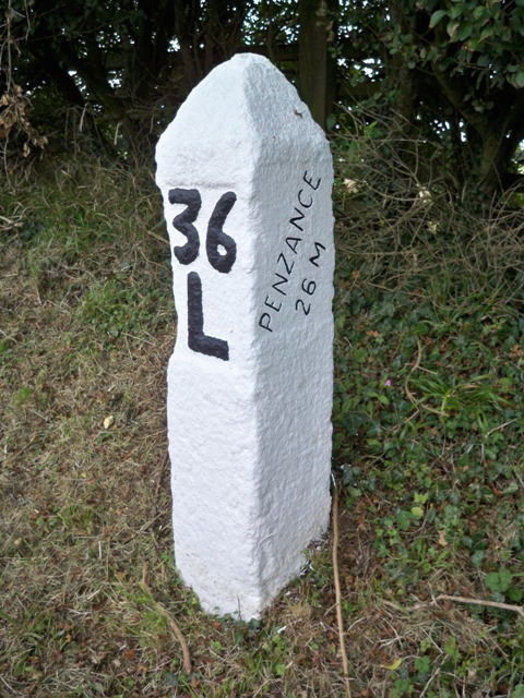
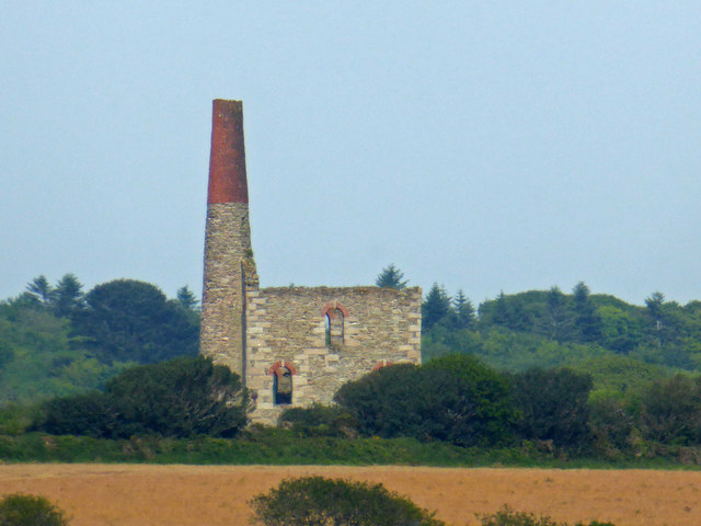
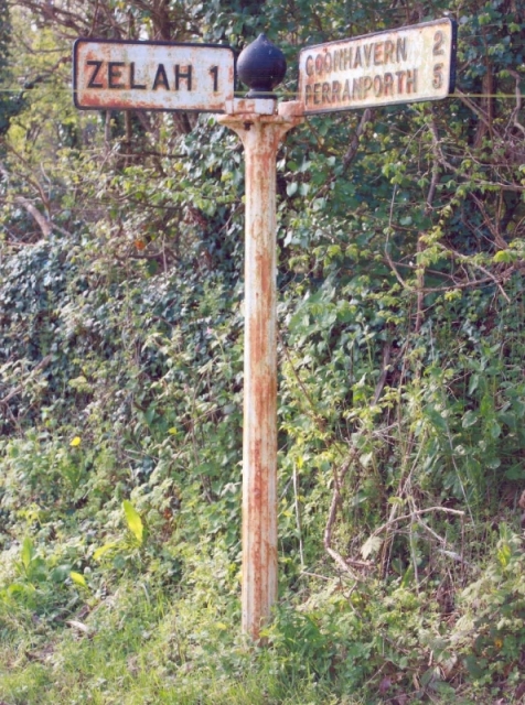
Quarryclose Plantation is located at Grid Ref: SW7950 (Lat: 50.315458, Lng: -5.0925919)

Unitary Authority: Cornwall

Police Authority: Devon and Cornwall

What 3 Words

///bulb.magically.insect. Near Perranporth, Cornwall

Related Wikis

Marazanvose

Marazanvose is a hamlet southwest of Zelah in Cornwall, England. It is on the A30 main road. == References ==

Killivose

Killivose, Zelah is a hamlet south of Zelah in the parish of St Allen (where the population in the 2011 census was included.) in Cornwall, England....

Carrick Heaths

Carrick Heaths is a Site of Special Scientific Interest (SSSI), noted for its biological characteristics, in mid Cornwall, England, UK. It incorporates...

Zelah, Cornwall

Zelah is a village in Cornwall, England, United Kingdom, approximately 5 miles (8.0 kilometres) north of Truro. Zelah is the largest settlement in the...

Nearby Amenities

Located within 500m of 50.315458,-5.0925919
Power: tower
Source: bing
Lat/Long: 50.3147397/-5.0880914
Power: tower
Source: bing
Lat/Long: 50.3136435/-5.0912403
Power: tower
Source: bing
Lat/Long: 50.3124351/-5.095001
Great South Chiverton Mine
Historic: mine_shaft
Source: OS_OpenData_StreetView
Lat/Long: 50.3160918/-5.0993931
Place: farm
Lat/Long: 50.3150212/-5.097383
Post Box
Brand: Royal Mail
Brand Wikidata: Q638098
Collection Times: Mo-Fr 16:00; Sa 11:15; Su off
Drive Through: no
Operator: Royal Mail
Operator Wikidata: Q638098
Post Box Design: type_b
Post Box Mounting: stone_wall
Post Box Type: wall
Ref: TR4 159
Royal Cypher: GR
Royal Cypher Wikidata: Q33102273
Source: survey;aerial imagery
Lat/Long: 50.3117508/-5.0929108
Noexit: yes
Lat/Long: 50.3163149/-5.0860929
The data included in this document is from www.openstreetmap.org. The data is made available under ODbL.

Have you been to Quarryclose Plantation?

Leave your review of Quarryclose Plantation below (or comments, questions and feedback).