Bagatelle Plantation

Wood, Forest in Cornwall

England

Bagatelle Plantation

Farmland, Mylor Beside Tregew Road, a crop of, perhaps, broccoli given the protection of plastic.
Farmland, Mylor Credit: Andrew Smith

Bagatelle Plantation, located in Cornwall, England, is a picturesque woodland area renowned for its natural beauty and diverse plant life. Nestled in the heart of Cornwall, this enchanting forest is a popular destination for nature enthusiasts and visitors seeking tranquility.

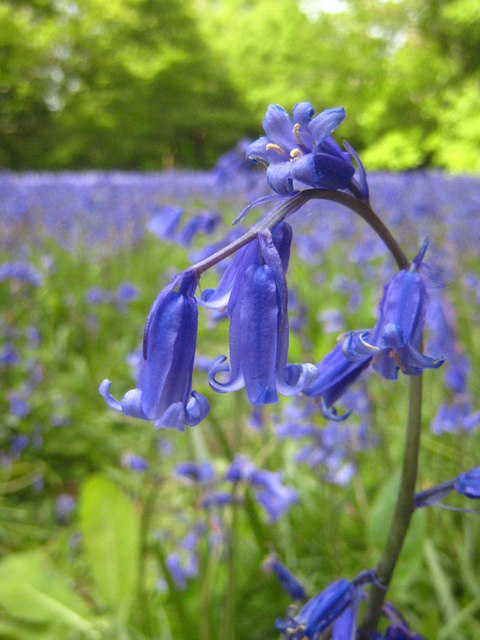
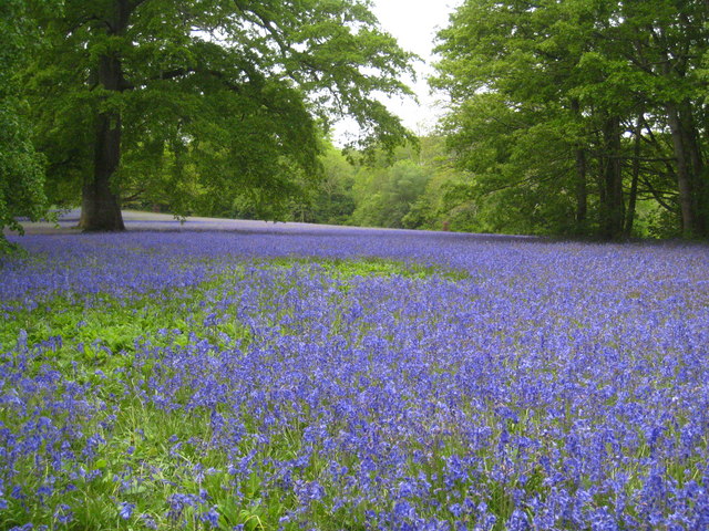
Covering an area of approximately 100 acres, Bagatelle Plantation boasts a rich and varied ecosystem. The forest is dominated by a mix of native and exotic tree species, including oak, beech, birch, and pine, which create a dense canopy that provides shade and shelter for numerous wildlife species. The forest floor is carpeted with vibrant wildflowers, ferns, and mosses, creating a tapestry of colors that change with the seasons.

The plantation is intersected by several walking trails and pathways, allowing visitors to explore the area and discover its hidden gems. These trails wind through towering trees and open up to breathtaking vistas, offering panoramic views of the surrounding countryside. Along the way, visitors may come across babbling brooks, small ponds, and charming bridges that add to the overall charm of the woodland.

Bagatelle Plantation is not only a haven for nature lovers but also a sanctuary for a wide range of wildlife. The forest is home to various bird species, including woodpeckers, owls, and songbirds. Squirrels, rabbits, and deer can also be spotted, adding to the sense of wilderness.

Whether it is a leisurely stroll, a picnic amidst nature, or simply a desire to escape the hustle and bustle of everyday life, Bagatelle Plantation offers a serene retreat for all who visit.

If you have any feedback on the listing, please let us know in the comments section below.

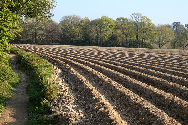
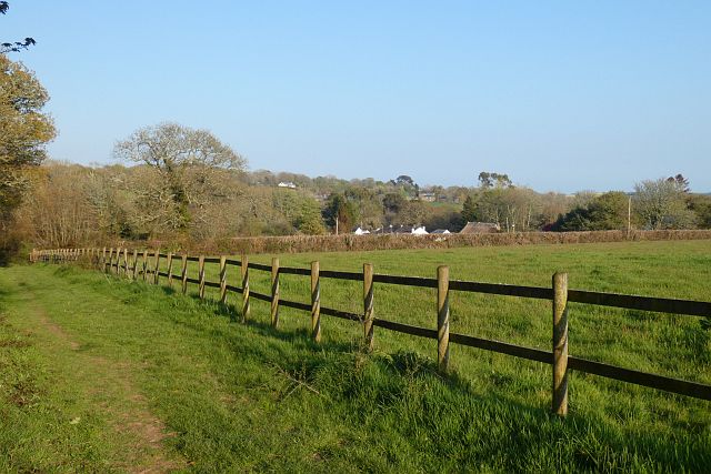
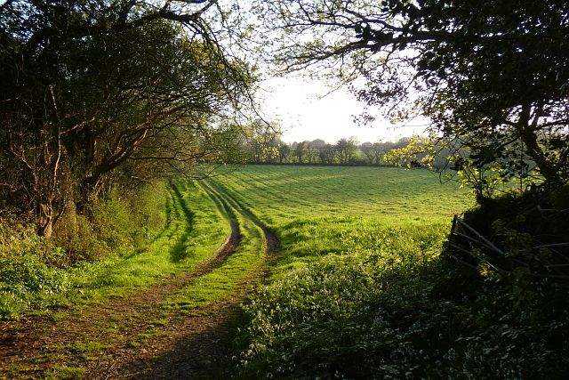
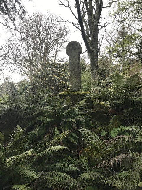
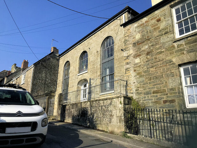
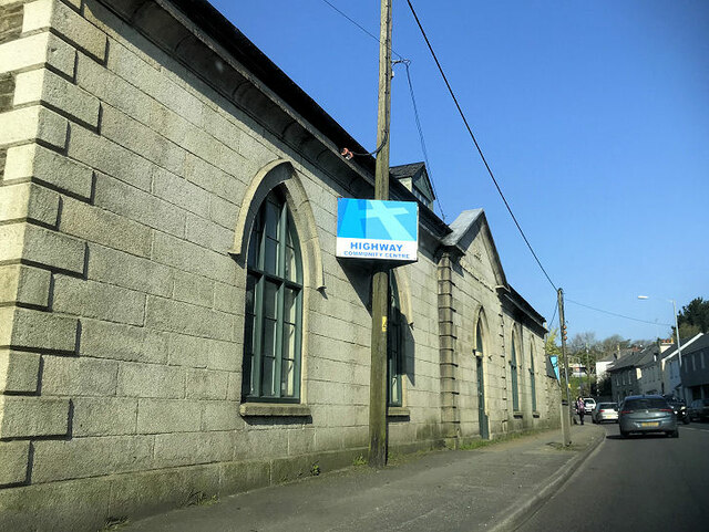
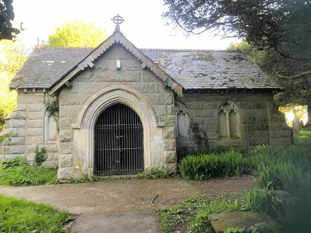
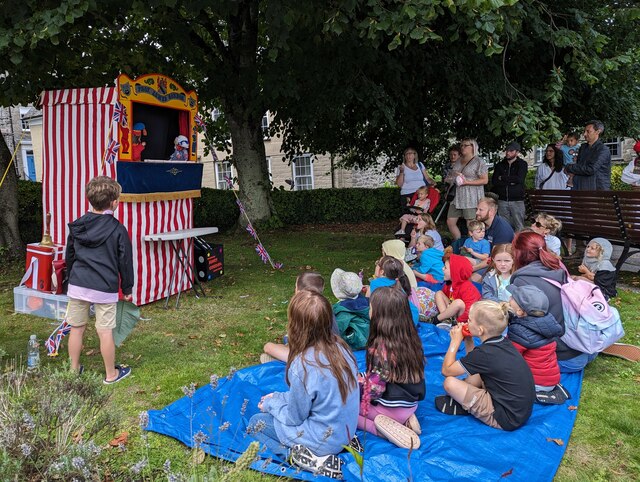
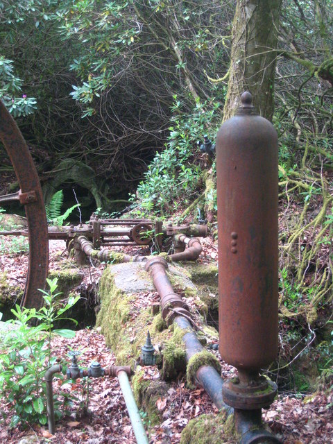
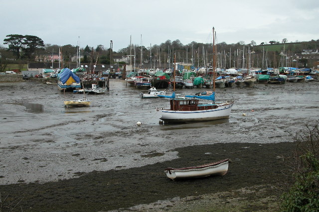
Bagatelle Plantation Images

Images are sourced within 2km of 50.182194/-5.0845027 or Grid Reference SW7935. Thanks to Geograph Open Source API. All images are credited.

Farmland, Mylor Beside Tregew Road, a crop of, perhaps, broccoli given the protection of plastic.
Farmland, Mylor
Beside Tregew Road, a crop of, perhaps, broccoli given the protection of plastic.
Farmland, Mylor The footpath north of Rekedjack Cottages follows the edge of this furrowed potato field.
Farmland, Mylor
The footpath north of Rekedjack Cottages follows the edge of this furrowed potato field.
Pasture, Mylor A footpath passes around paddocks on its approach to Angarrick.
Pasture, Mylor
A footpath passes around paddocks on its approach to Angarrick.
Pasture, Ponsanooth A footpath to the west of Gwarder approaches Penryn.
Pasture, Ponsanooth
A footpath to the west of Gwarder approaches Penryn.
Estuary, Penryn An inlet below Bissom on the northern side of the Penryn River at high tide.
Estuary, Penryn
An inlet below Bissom on the northern side of the Penryn River at high tide.
Cross In Enys Gardens there is a Cornish Cross, which, according to this Wikipedia article, originally stood at Sancreed in Kerrier and was set up at Enys in 1848.
<span class="nowrap"><a title="https://en.m.wikipedia.org/wiki/Stone_crosses_in_Cornwall" rel="nofollow ugc noopener" href="https://en.m.wikipedia.org/wiki/Stone_crosses_in_Cornwall">Link</a><img style="margin-left:2px;" alt="External link" title="External link - shift click to open in new window" src="https://s1.geograph.org.uk/img/external.png" width="10" height="10"/></span>

Milestone Society National ID: CWKE_SGL02
Cross
In Enys Gardens there is a Cornish Cross, which, according to this Wikipedia article, originally stood at Sancreed in Kerrier and was set up at Enys in 1848. LinkExternal link Milestone Society National ID: CWKE_SGL02
Former Congregational Chapel
Highway church
Highway church
Highway Community Centre
The Glebe Cemetery Chapel
St Gluvias
St Gluvias
A traditional Punch and Judy show on Penryn Town Fair Day
Bluebells (Hyacinthoides non-scripta) at Enys Gardens The gardens at Enys are renowned for their bluebell display, particularly in the meadow area known as Parc Lye.
Bluebells (Hyacinthoides non-scripta) at Enys Gardens
The gardens at Enys are renowned for their bluebell display, particularly in the meadow area known as Parc Lye.
Bluebells at Parc Lye on the Enys Estate The gardens at Enys are famous for the bluebell display every May.
Bluebells at Parc Lye on the Enys Estate
The gardens at Enys are famous for the bluebell display every May.
Enys House The Enys family were resident in the area from the time of Edward I. The house originally on this site was an Elizabethan or Jacobean mansion. Various alterations were carried out but that building burnt down in the 1820s. The house was rebuilt in the 1830s. The Dutch Navy occupied the house during the Second World War and after the war the house was occupied briefly again by the family. They found it impossible to afford sufficient staff to run the house satisfactorily and it was occupied by a private school for a short time, since which it has been empty. Renovation works are currently in progress. The house and various other buildings on the estate are Grade II Listed <span class="nowrap"><a title="http://www.imagesofengland.org.uk/Details/Default.aspx?id=66521&mode=adv" rel="nofollow ugc noopener" href="http://www.imagesofengland.org.uk/Details/Default.aspx?id=66521&mode=adv">Link</a><img style="margin-left:2px;" alt="External link" title="External link - shift click to open in new window" src="https://s1.geograph.org.uk/img/external.png" width="10" height="10"/></span>.
Enys House
The Enys family were resident in the area from the time of Edward I. The house originally on this site was an Elizabethan or Jacobean mansion. Various alterations were carried out but that building burnt down in the 1820s. The house was rebuilt in the 1830s. The Dutch Navy occupied the house during the Second World War and after the war the house was occupied briefly again by the family. They found it impossible to afford sufficient staff to run the house satisfactorily and it was occupied by a private school for a short time, since which it has been empty. Renovation works are currently in progress. The house and various other buildings on the estate are Grade II Listed LinkExternal link.
Waterwheel at Enys This waterwheel was used to raise water to supply the house. On the right of the photo is a hydraulic ram <a href="https://www.geograph.org.uk/photo/2411996">SW7936 : Hydraulic ram at Enys</a>. There are plans to restore the wheel to working order.
Waterwheel at Enys
This waterwheel was used to raise water to supply the house. On the right of the photo is a hydraulic ram SW7936 : Hydraulic ram at Enys. There are plans to restore the wheel to working order.
Hydraulic ram at Enys Part of the system, in conjunction with the waterwheel <a href="https://www.geograph.org.uk/photo/2411991">SW7936 : Waterwheel at Enys</a>, to supply water to Enys House.
Hydraulic ram at Enys
Part of the system, in conjunction with the waterwheel SW7936 : Waterwheel at Enys, to supply water to Enys House.
Show me another place!

Bagatelle Plantation is located at Grid Ref: SW7935 (Lat: 50.182194, Lng: -5.0845027)

Unitary Authority: Cornwall

Police Authority: Devon and Cornwall

What 3 Words

///screen.risk.tiling. Near Mylor Bridge, Cornwall

Related Wikis

Mylor Bridge

Mylor Bridge (Cornish: Ponsnowyth) is a village in Cornwall, England, United Kingdom. It is in Mylor civil parish at the head of Mylor Creek, about five...

Mylor, Cornwall

Mylor is a civil parish in Cornwall, England, United Kingdom. It is situated approximately five miles north of Falmouth.The church town of the ecclesiastical...

Mylor Creek

Mylor Creek (Cornish: Pol Scathow, meaning creek of boats) is a tidal ria in south Cornwall, United Kingdom. It is a tributary of Carrick Roads, the estuary...

Bissom

Bissom is a hamlet in south Cornwall, England, United Kingdom situated half-a-mile east of Penryn.Most of Bissom falls within the civil parish of Penryn...

Nearby Amenities

Located within 500m of 50.182194,-5.0845027
Direction: SW
Generator Method: photovoltaic
Generator Output Electricity: small_installation
Generator Source: solar
Generator Type: solar_photovoltaic_panel
Location: roof
Power: generator
Source: bing;survey
Survey Date: 2020-07-25
Lat/Long: 50.1830593/-5.0778978
Direction: SW
Generator Method: photovoltaic
Generator Output Electricity: small_installation
Generator Source: solar
Generator Type: solar_photovoltaic_panel
Location: roof
Power: generator
Source: bing;survey
Survey Date: 2020-07-25
Lat/Long: 50.1828823/-5.0779313
Direction: S
Generator Method: photovoltaic
Generator Output Electricity: small_installation
Generator Source: solar
Generator Type: solar_photovoltaic_panel
Location: roof
Power: generator
Source: bing;survey
Survey Date: 2020-07-25
Lat/Long: 50.1825509/-5.0778307
Direction: SE
Generator Method: photovoltaic
Generator Output Electricity: small_installation
Generator Source: solar
Generator Type: solar_photovoltaic_panel
Location: roof
Power: generator
Source: bing;survey
Survey Date: 2020-07-25
Lat/Long: 50.1812241/-5.0795352
Direction: SE
Generator Method: photovoltaic
Generator Output Electricity: small_installation
Generator Source: solar
Generator Type: solar_photovoltaic_panel
Location: roof
Power: generator
Source: bing;survey
Survey Date: 2020-07-25
Lat/Long: 50.1807577/-5.0789103
Direction: SE
Generator Method: photovoltaic
Generator Output Electricity: small_installation
Generator Source: solar
Generator Type: solar_photovoltaic_panel
Location: roof
Power: generator
Source: bing;survey
Survey Date: 2020-07-25
Lat/Long: 50.1807989/-5.0781928
Direction: SE
Generator Method: photovoltaic
Generator Output Electricity: small_installation
Generator Source: solar
Generator Type: solar_photovoltaic_panel
Location: roof
Power: generator
Source: bing;survey
Survey Date: 2020-07-25
Lat/Long: 50.180951/-5.0779112
Direction: S
Generator Method: photovoltaic
Generator Output Electricity: small_installation
Generator Source: solar
Generator Type: solar_photovoltaic_panel
Location: roof
Power: generator
Source: bing;survey
Survey Date: 2020-07-25
Lat/Long: 50.1862907/-5.0827901
Direction: S
Generator Method: photovoltaic
Generator Output Electricity: small_installation
Generator Source: solar
Generator Type: solar_photovoltaic_panel
Location: roof
Power: generator
Source: bing;survey
Survey Date: 2020-07-25
Lat/Long: 50.1862134/-5.082774
Direction: S
Generator Method: photovoltaic
Generator Output Electricity: small_installation
Generator Source: solar
Generator Type: solar_photovoltaic_panel
Location: roof
Power: generator
Source: bing;survey
Survey Date: 2020-07-25
Lat/Long: 50.1861146/-5.0822604
Direction: S
Generator Method: photovoltaic
Generator Output Electricity: small_installation
Generator Source: solar
Generator Type: solar_photovoltaic_panel
Location: roof
Power: generator
Source: bing;survey
Survey Date: 2020-07-25
Lat/Long: 50.1862237/-5.0814222
Direction: S
Generator Method: photovoltaic
Generator Output Electricity: small_installation
Generator Source: solar
Generator Type: solar_photovoltaic_panel
Location: roof
Power: generator
Source: bing;survey
Survey Date: 2020-07-25
Lat/Long: 50.1858999/-5.0816542
Direction: E
Generator Method: photovoltaic
Generator Output Electricity: small_installation
Generator Source: solar
Generator Type: solar_photovoltaic_panel
Location: roof
Power: generator
Source: bing;survey
Survey Date: 2020-07-25
Lat/Long: 50.1861859/-5.0815201
Direction: E
Generator Method: photovoltaic
Generator Output Electricity: small_installation
Generator Source: solar
Generator Type: solar_photovoltaic_panel
Location: roof
Power: generator
Source: bing;survey
Survey Date: 2020-07-25
Lat/Long: 50.1858982/-5.0814571
The data included in this document is from www.openstreetmap.org. The data is made available under ODbL.

Have you been to Bagatelle Plantation?

Leave your review of Bagatelle Plantation below (or comments, questions and feedback).