Beech Wood
Wood, Forest in Cornwall
England
Beech Wood
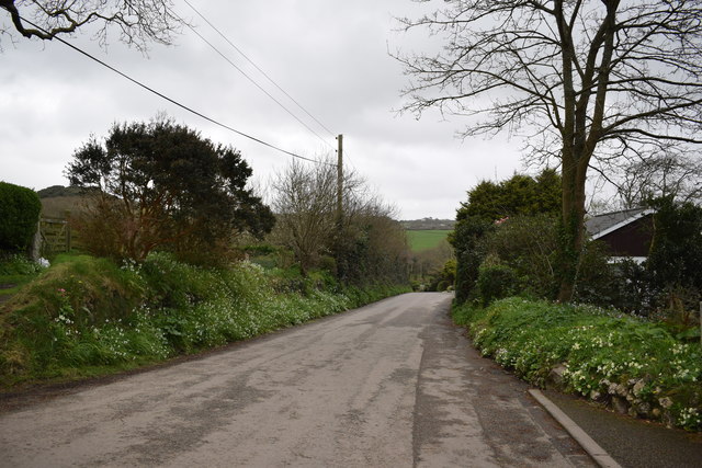
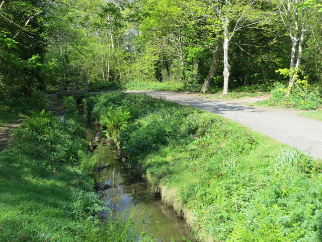
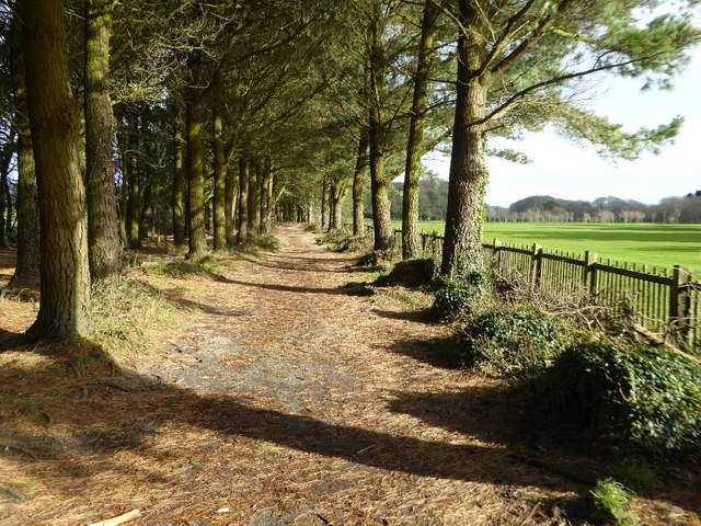
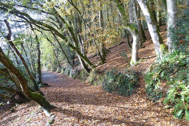
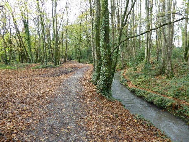
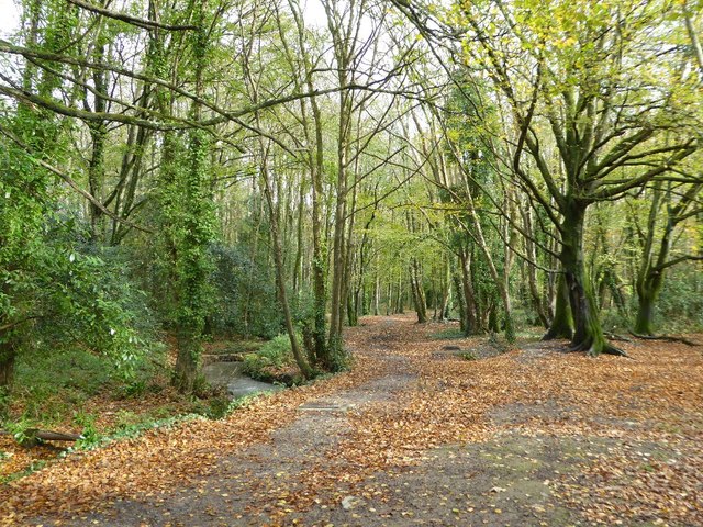
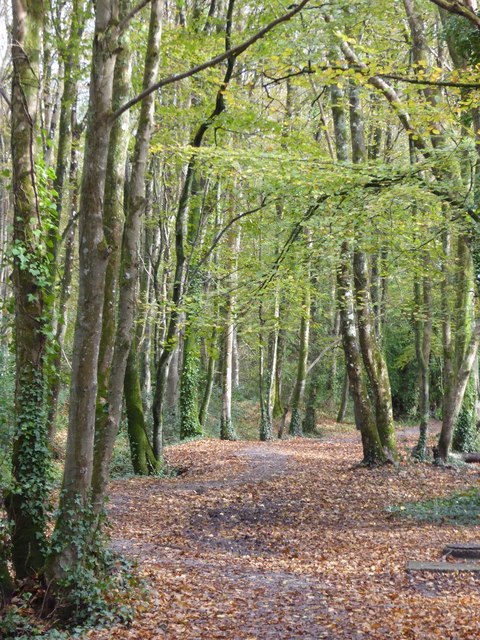
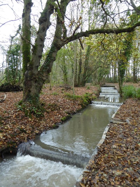
Beech Wood is a picturesque forest located in the county of Cornwall, England. The wood is named after the dominant tree species found within its boundaries, the European beech (Fagus sylvatica). Covering an area of approximately 50 acres, Beech Wood is a popular destination for nature enthusiasts and hikers alike.
One of the distinguishing features of Beech Wood is its dense canopy of beech trees, which create a cool and shaded environment beneath. The towering trees, with their smooth gray bark and vibrant green leaves, provide a tranquil setting for visitors to explore and enjoy the natural beauty of the area. The forest floor is carpeted with a lush layer of ferns, mosses, and wildflowers, adding to the enchanting atmosphere.
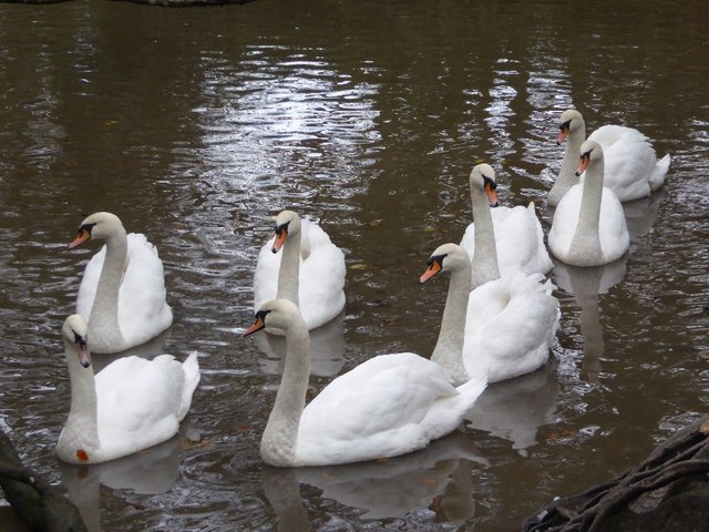
Beech Wood is home to a diverse range of flora and fauna. In addition to the beech trees, the forest is populated by oak, ash, and hazel trees, among others. The wood is also teeming with wildlife, including squirrels, rabbits, and various bird species. The tranquil environment of Beech Wood provides a haven for these creatures, making it an ideal spot for birdwatching and animal spotting.
Several well-maintained trails wind their way through the forest, allowing visitors to explore the wood at their own pace. These trails offer stunning views of the surrounding countryside and are suitable for both leisurely walks and more adventurous hikes. Interpretive signs along the trails provide information about the flora and fauna found in the wood, enhancing the educational experience for visitors.
Overall, Beech Wood in Cornwall is a captivating natural haven, offering visitors the opportunity to immerse themselves in the beauty of a beech forest and discover the wonders of nature in this idyllic setting.
If you have any feedback on the listing, please let us know in the comments section below.
Beech Wood Images
Images are sourced within 2km of 50.241534/-5.3046923 or Grid Reference SW6443. Thanks to Geograph Open Source API. All images are credited.


Beech Wood is located at Grid Ref: SW6443 (Lat: 50.241534, Lng: -5.3046923)
Unitary Authority: Cornwall
Police Authority: Devon and Cornwall
What 3 Words
///empires.racetrack.next. Near Camborne, Cornwall
Nearby Locations
Related Wikis

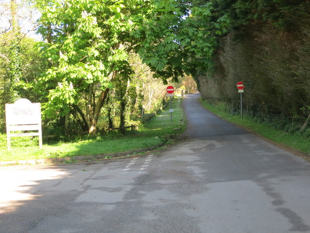
Tehidy Country Park
Tehidy Country Park is a country park in Illogan in Cornwall, England which incorporates 250 acres (1.0 km2) of the parkland and estate around Tehidy House...

Roscroggan
Roscroggan is a hamlet north of Camborne in Cornwall, England. == Fatal WWII plane crash == In the Second World War, on Friday 24 July 1942, a Bristol...
Godrevy Head to St Agnes
Godrevy Head to St Agnes is a coastal Site of Special Scientific Interest (SSSI) in north Cornwall, England], noted for both its biological and geological...
Roskear Croft
Roskear Croft is a hamlet north of Camborne, Cornwall, England. == References ==
Nearby Amenities
Located within 500m of 50.241534,-5.3046923Have you been to Beech Wood?
Leave your review of Beech Wood below (or comments, questions and feedback).