Rosy Brae
Wood, Forest in Aberdeenshire
Scotland
Rosy Brae

Rosy Brae is a picturesque woodland area located in Aberdeenshire, Scotland. Stretching over a vast expanse of land, it is a haven for nature enthusiasts and a popular destination for outdoor activities. The forest is known for its breathtaking beauty, characterized by dense vegetation, towering trees, and a vibrant array of flora and fauna.
The woodland is home to a diverse range of plant species, including oak, birch, and pine, which create a lush and verdant landscape. The forest floor is carpeted with a tapestry of wildflowers during the spring and summer months, adding a burst of color to the surroundings. This abundance of plant life provides a rich habitat for various animals, such as squirrels, deer, and a myriad of bird species.
Rosy Brae offers a network of well-maintained trails and paths, making it an ideal destination for hikers, walkers, and cyclists. These trails wind through the forest, allowing visitors to explore its hidden nooks and crannies. Along the way, they may stumble upon babbling brooks and charming streams, adding to the enchanting atmosphere of the woodland.
The forest also provides opportunities for recreational activities, such as picnicking, camping, and wildlife spotting. Its tranquil ambiance and natural beauty make it a popular spot for families and nature enthusiasts seeking a peaceful retreat from the hustle and bustle of everyday life.
In conclusion, Rosy Brae in Aberdeenshire is a captivating woodland area that boasts natural beauty, diverse wildlife, and a range of outdoor activities. Its serene atmosphere and stunning scenery make it a must-visit destination for anyone looking to immerse themselves in nature's splendor.
If you have any feedback on the listing, please let us know in the comments section below.
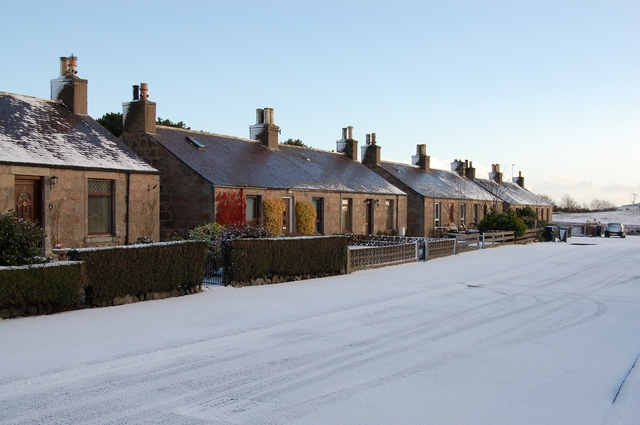
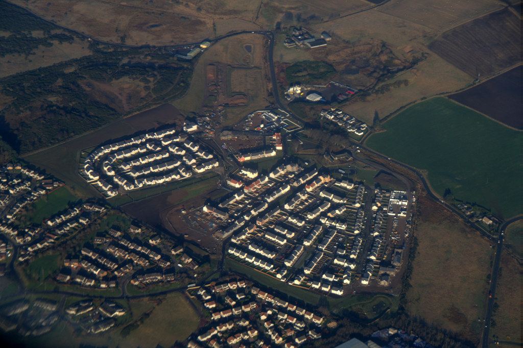
Rosy Brae Images
Images are sourced within 2km of 57.236194/-2.0825488 or Grid Reference NJ9516. Thanks to Geograph Open Source API. All images are credited.


Rosy Brae is located at Grid Ref: NJ9516 (Lat: 57.236194, Lng: -2.0825488)
Unitary Authority: Aberdeenshire
Police Authority: North East
What 3 Words
///whisker.dearest.scarecrow. Near Balmedie, Aberdeenshire
Nearby Locations
Related Wikis

Potterton
Potterton is a village north of Aberdeen, Scotland, in Aberdeenshire, west of Balmedie. Population in 1991 was 1159, falling by 2001 to 886. == References ==
Belhelvie
Belhelvie (Scottish Gaelic: Baile Shealbhaigh) is a small village and civil parish in Aberdeenshire in Scotland. The parish has a population of 3,802...

Blackdog
Blackdog is a hamlet approximately 2 miles north of the city limits of Aberdeen, Scotland. The nearby area serves as a shooting ground, and is used by...

Balmedie
Balmedie (Scottish Gaelic: Baile Mheadhain) is a large village in Aberdeenshire in Scotland. It lies north of the city of Aberdeen, in the civil parish...

Whitecairns
Whitecairns is a village in the Formartine area of Aberdeenshire, Scotland, lying 3.6 kilometres (2.2 mi) north of Potterton and 9.7 kilometres (6.0 mi...

Murcar Links Golf Club
Murcar Links Golf Club is a golf club in northern Aberdeen, Scotland, to the north of the Royal Aberdeen Golf Club. The 18-hole, par 71, 6,516 yard course...
Dubford, Aberdeen
Dubford is a housing estate of approximately 550 homes, north of Denmore within the Bridge of Don suburb in the north of Aberdeen, Scotland. Dubford takes...

Hermes F.C.
Hermes Junior Football Club are a Scottish football club from Bridge of Don, an area of the city of Aberdeen. Founded in 1968 by pupils of Robert Gordon...
Nearby Amenities
Located within 500m of 57.236194,-2.0825488Have you been to Rosy Brae?
Leave your review of Rosy Brae below (or comments, questions and feedback).