Brodie Wood

Wood, Forest in Kincardineshire

Scotland

Brodie Wood

Fields east of Hare Moss Photographer is standing on the western side of the minor paved road. Hare Moss is the darker green wooded area toward image top.
Fields east of Hare Moss Credit: C Michael Hogan

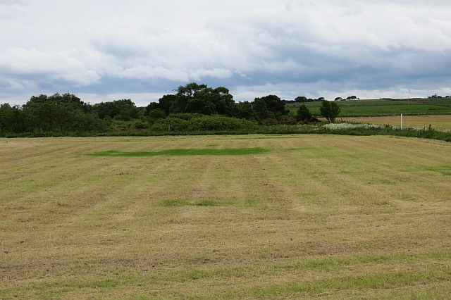
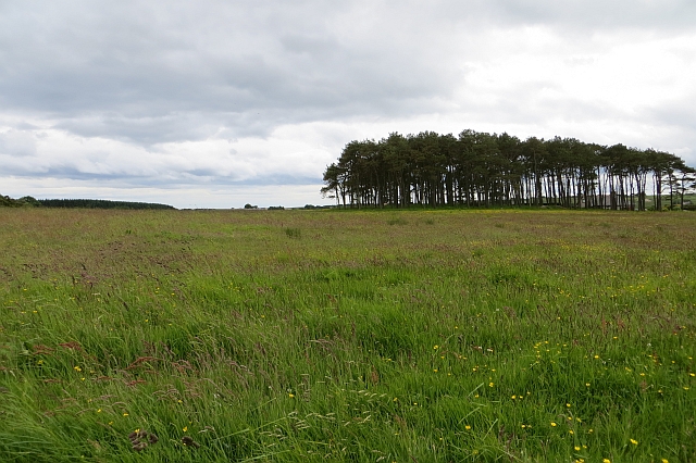
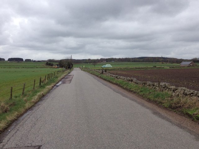
Brodie Wood is a picturesque forest located in Kincardineshire, Scotland. This enchanting woodland covers an area of approximately 100 hectares and is a popular destination for nature lovers and outdoor enthusiasts. The forest is situated near the village of Auchenblae, providing easy access for visitors.

The woodland is characterized by a diverse range of trees, including native species such as Scots pine, birch, and oak. The lush greenery and vibrant flora create a serene and peaceful atmosphere, making it an ideal place for relaxation and exploration. Numerous walking trails wind through the forest, allowing visitors to immerse themselves in the natural beauty of the surroundings.

Brodie Wood is also home to a rich variety of wildlife. Bird enthusiasts can spot a wide array of species, including woodpeckers, owls, and various woodland birds. The forest is also inhabited by small mammals such as red squirrels, badgers, and foxes.

The woodland has a fascinating history, with evidence of human activity dating back to the Neolithic period. Archaeological remains, including hut circles and stone tools, have been discovered within the forest, hinting at the ancient inhabitants who once called this area home.

Overall, Brodie Wood in Kincardineshire offers visitors an opportunity to reconnect with nature, enjoy peaceful walks, and immerse themselves in the rich natural and historical heritage of the region.

If you have any feedback on the listing, please let us know in the comments section below.

Brodie Wood Images

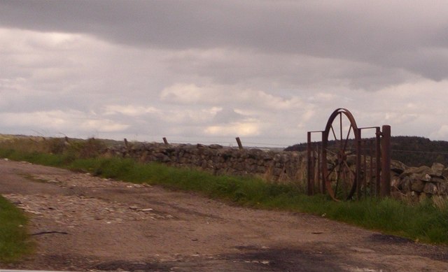
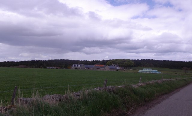
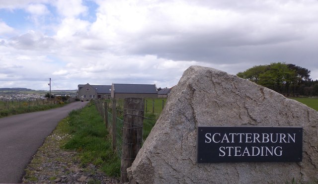
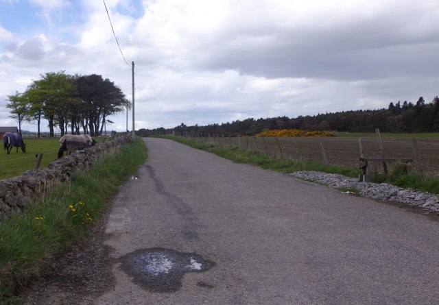
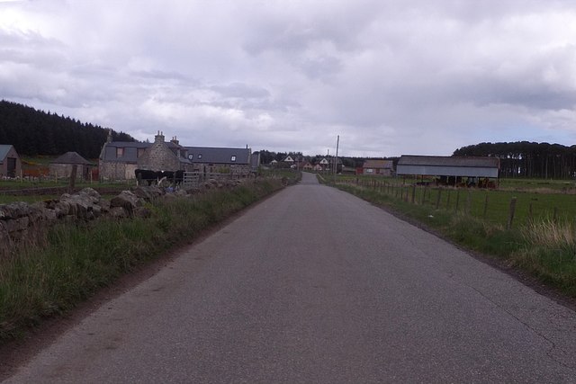
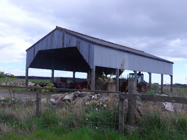
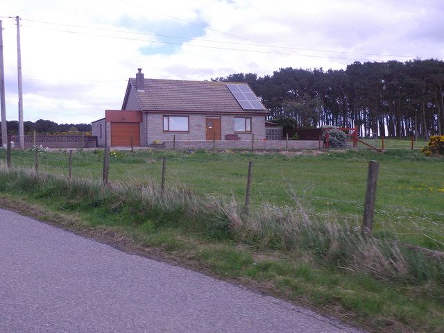
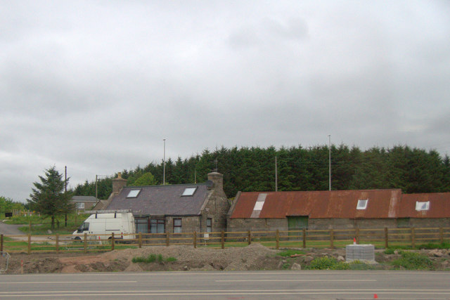
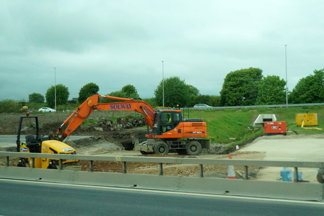
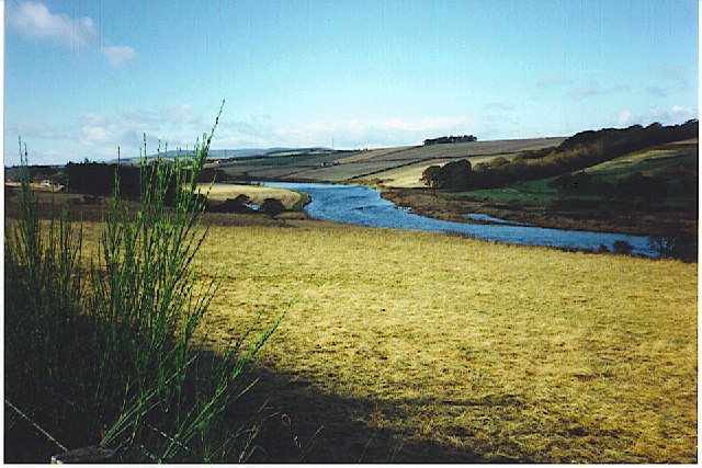
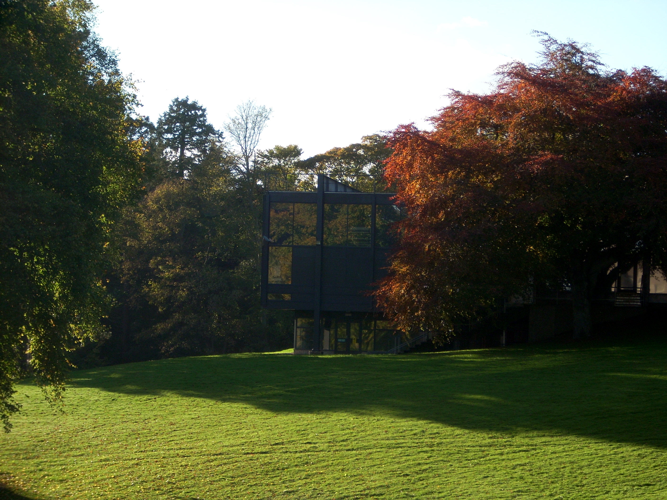
Images are sourced within 2km of 57.097891/-2.1433889 or Grid Reference NJ9100. Thanks to Geograph Open Source API. All images are credited.

Fields east of Hare Moss Photographer is standing on the western side of the minor paved road. Hare Moss is the darker green wooded area toward image top.
Fields east of Hare Moss
Photographer is standing on the western side of the minor paved road. Hare Moss is the darker green wooded area toward image top.
Recently clearcut conifer forest Young saplings of new growth alien conifers have begun to emerge to cover the ground.
Recently clearcut conifer forest
Young saplings of new growth alien conifers have begun to emerge to cover the ground.
Looking towards Hare Moss A crop of silage has just been lifted from the foreground field.
Looking towards Hare Moss
A crop of silage has just been lifted from the foreground field.
Silage crop Just before cutting, this is mapped as rough grazing at 1:25,000.
Silage crop
Just before cutting, this is mapped as rough grazing at 1:25,000.
Road across Hare Moss
Minor road to Bishopston With sign indicating the way to a Cheesemaker and Farm Shop.
Minor road to Bishopston
With sign indicating the way to a Cheesemaker and Farm Shop.
An iron gate Made from a cartwheel.
An iron gate
Made from a cartwheel.
Scatterburn Farm
Scatterburn Farm
Access to Scatterburn Steading From the public road.
Access to Scatterburn Steading
From the public road.
Minor road to Ardoe From Scatterburn junction.
Minor road to Ardoe
From Scatterburn junction.
Approaching Jameston Farm On minor road from Scatterburn to Crossroads.
Approaching Jameston Farm
On minor road from Scatterburn to Crossroads.
Dutch Barn at Jameston On south side of minor road.
Dutch Barn at Jameston
On south side of minor road.
Tigh Shine, near Jameston Cottage With solar panels on the roof. By minor road into Crossroads.
Tigh Shine, near Jameston Cottage
With solar panels on the roof. By minor road into Crossroads.
House beside the A90 near Marywell
Work on the Aberdeen Bypass near Marywell The road appears to be being widened here, approaching what will be a major interchange.
Work on the Aberdeen Bypass near Marywell
The road appears to be being widened here, approaching what will be a major interchange.
Drystane Dyke The dyke is looking rather the worse for wear and wouldn't be much use for containing livestock. Nor, come to that, would the fence alongside it. The distant farm is Scatterburn.
Drystane Dyke
The dyke is looking rather the worse for wear and wouldn't be much use for containing livestock. Nor, come to that, would the fence alongside it. The distant farm is Scatterburn.
Scatterburn It looks as if part of the farm steading at Scatterburn has been converted to housing.
Scatterburn
It looks as if part of the farm steading at Scatterburn has been converted to housing.
Overbridge at Haremoss This is one of the overbridges that carry minor roads over the AWPR, in this case over the spur linking the main north-south route eastwards to the harbour area.
Overbridge at Haremoss
This is one of the overbridges that carry minor roads over the AWPR, in this case over the spur linking the main north-south route eastwards to the harbour area.
Show me another place!

Brodie Wood is located at Grid Ref: NJ9100 (Lat: 57.097891, Lng: -2.1433889)

Unitary Authority: Aberdeenshire

Police Authority: North East

What 3 Words

///bleat.punchy.during. Near Cults, Aberdeen

Nearby Locations

Brodie Wood Cran Hill

Related Wikis

Aberdeen South (UK Parliament constituency)

Aberdeen South is a burgh constituency of the House of Commons of the Parliament of the United Kingdom and it elects one Member of Parliament (MP) by the...

Hare Moss

Hare Moss is a bog in Aberdeenshire, Scotland, in the vicinity of Banchory-Devenick. Hare Moss is a significant wetland ecosystem. == History == Hare...

Banchory-Devenick

Banchory-Devenick (Scottish Gaelic: Beannchar Dòmhnaig) is a hamlet approximately two kilometres south of the city of Aberdeen, Scotland in the Lower Deeside...

Gray's School of Art

Gray's School of Art is the Robert Gordon University's art school, located in Aberdeen, Scotland. It is one of the oldest established fine art institutions...

Nearby Amenities

Located within 500m of 57.097891,-2.1433889
Access: no
Barrier: stile
Bicycle: no
Foot: yes
Horse: no
Motor Vehicle: no
Lat/Long: 57.1009364/-2.138083
Power: pole
Lat/Long: 57.0948035/-2.1384897
Power: pole
Lat/Long: 57.0953673/-2.1386362
Power: pole
Lat/Long: 57.0978629/-2.1502435
Power: pole
Lat/Long: 57.0978931/-2.1492588
Power: pole
Lat/Long: 57.0979288/-2.1479533
Power: pole
Lat/Long: 57.0979343/-2.1465091
Power: pole
Lat/Long: 57.0979384/-2.1450951
Power: pole
Lat/Long: 57.0978396/-2.1436861
Power: pole
Lat/Long: 57.0977107/-2.1418934
Power: pole
Lat/Long: 57.0979576/-2.1402799
Power: pole
Lat/Long: 57.0981578/-2.1387094
Power: pole
Lat/Long: 57.0983526/-2.1371515
Power: pole
Lat/Long: 57.0985487/-2.1356239
The data included in this document is from www.openstreetmap.org. The data is made available under ODbL.

Have you been to Brodie Wood?

Leave your review of Brodie Wood below (or comments, questions and feedback).