Cran Hill

Hill, Mountain in Kincardineshire

Scotland

Cran Hill

Horse clad for the morning chill Even though the temperature this morning is 13 degees C, this pampered animal is prepared for colder. Photographer is standing somewhat east of the minor road.
Horse clad for the morning chill Credit: C Michael Hogan

Cran Hill is a prominent hill located in Kincardineshire, Scotland. Situated near the town of Stonehaven, it is a popular destination for outdoor enthusiasts and nature lovers alike. The hill is part of the larger Mounth range, which stretches across the eastern Grampian Mountains.

Standing at an elevation of approximately 300 meters (984 feet), Cran Hill offers breathtaking panoramic views of the surrounding countryside. Its distinctive conical shape and rugged terrain make it a distinctive feature of the local landscape. The hill is predominantly composed of granite, which contributes to its durability and resilience against erosion.

The ascent to the summit of Cran Hill is relatively moderate, making it accessible to hikers of various skill levels. Along the way, visitors can enjoy a diverse array of flora and fauna, including heather, gorse, and various bird species. The hill is also home to a number of sheep farms, adding to its picturesque charm.

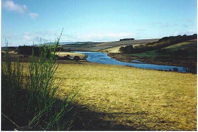
At the top of Cran Hill, visitors are rewarded with stunning vistas of the North Sea coastline, the Grampian Mountains, and the rolling green fields of Kincardineshire. On clear days, it is even possible to catch a glimpse of the iconic Dunnottar Castle, perched dramatically on a cliff edge just a few miles away.

Overall, Cran Hill provides an ideal setting for outdoor activities such as hiking, picnicking, and photography. Its natural beauty and accessibility make it a beloved destination for both locals and tourists seeking to immerse themselves in the scenic wonders of Kincardineshire.

If you have any feedback on the listing, please let us know in the comments section below.
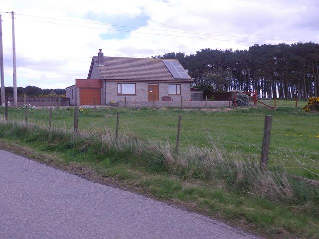
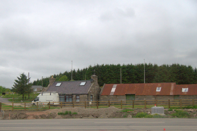
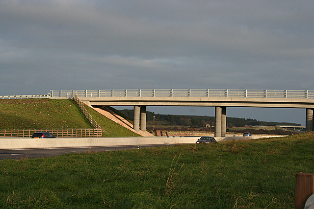
Cran Hill Images

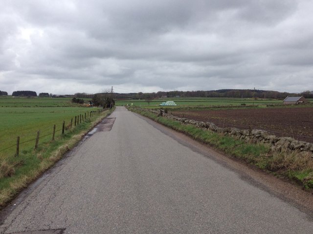
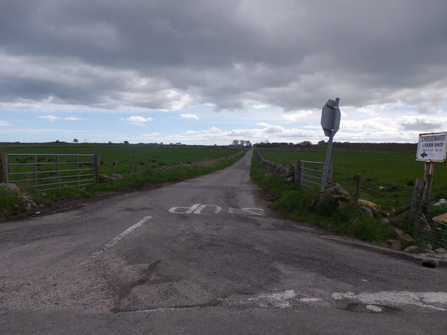
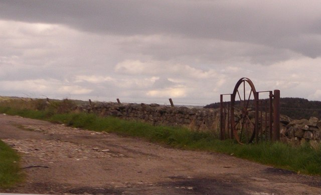
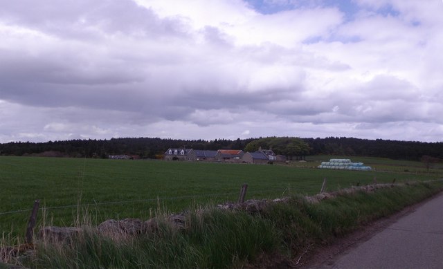
Images are sourced within 2km of 57.093922/-2.1491165 or Grid Reference NJ9100. Thanks to Geograph Open Source API. All images are credited.

Horse clad for the morning chill Even though the temperature this morning is 13 degees C, this pampered animal is prepared for colder. Photographer is standing somewhat east of the minor road.
Horse clad for the morning chill
Even though the temperature this morning is 13 degees C, this pampered animal is prepared for colder. Photographer is standing somewhat east of the minor road.
Little Bishopston in the morning light This view is from slightly east of the minor road. A small sliver of Hare Moss is faintly visible at image right.
Little Bishopston in the morning light
This view is from slightly east of the minor road. A small sliver of Hare Moss is faintly visible at image right.
Fields east of Hare Moss Photographer is standing on the western side of the minor paved road. Hare Moss is the darker green wooded area toward image top.
Fields east of Hare Moss
Photographer is standing on the western side of the minor paved road. Hare Moss is the darker green wooded area toward image top.
Recently clearcut conifer forest Young saplings of new growth alien conifers have begun to emerge to cover the ground.
Recently clearcut conifer forest
Young saplings of new growth alien conifers have begun to emerge to cover the ground.
Looking towards Hare Moss A crop of silage has just been lifted from the foreground field.
Looking towards Hare Moss
A crop of silage has just been lifted from the foreground field.
Silage crop Just before cutting, this is mapped as rough grazing at 1:25,000.
Silage crop
Just before cutting, this is mapped as rough grazing at 1:25,000.
Road across Hare Moss
Minor road to Bishopston With sign indicating the way to a Cheesemaker and Farm Shop.
Minor road to Bishopston
With sign indicating the way to a Cheesemaker and Farm Shop.
An iron gate Made from a cartwheel.
An iron gate
Made from a cartwheel.
Scatterburn Farm
Scatterburn Farm
Access to Scatterburn Steading From the public road.
Access to Scatterburn Steading
From the public road.
Minor road to Ardoe From Scatterburn junction.
Minor road to Ardoe
From Scatterburn junction.
Approaching Jameston Farm On minor road from Scatterburn to Crossroads.
Approaching Jameston Farm
On minor road from Scatterburn to Crossroads.
Dutch Barn at Jameston On south side of minor road.
Dutch Barn at Jameston
On south side of minor road.
Tigh Shine, near Jameston Cottage With solar panels on the roof. By minor road into Crossroads.
Tigh Shine, near Jameston Cottage
With solar panels on the roof. By minor road into Crossroads.
House beside the A90 near Marywell
Damp Fields This part of the country would be unrecognisable to anyone who lived here even 50 years ago. Behind me are new roads and swathes of new housing on the edges of the rapidly expanding dormitory village of Portlethen. It will be interesting to see if the mania for expansion will ever extend to this flat, wet, low-lying ground.
Damp Fields
This part of the country would be unrecognisable to anyone who lived here even 50 years ago. Behind me are new roads and swathes of new housing on the edges of the rapidly expanding dormitory village of Portlethen. It will be interesting to see if the mania for expansion will ever extend to this flat, wet, low-lying ground.
Aberdeen Western Peripheral Route This is the overbridge that carries the road between Bishopston and Little Bishopston. Almost all of the overbridges involve a deviation from the original line of the road they replace. Interestingly, there are 'no through route' signs at both ends of this particular bridge, but the road is a through road.
Aberdeen Western Peripheral Route
This is the overbridge that carries the road between Bishopston and Little Bishopston. Almost all of the overbridges involve a deviation from the original line of the road they replace. Interestingly, there are 'no through route' signs at both ends of this particular bridge, but the road is a through road.
Show me another place!

Cran Hill is located at Grid Ref: NJ9100 (Lat: 57.093922, Lng: -2.1491165)

Unitary Authority: Aberdeenshire

Police Authority: North East

What 3 Words

///thanks.else.basic. Near Cults, Aberdeen

Nearby Locations

Brodie Wood Cran Hill

Related Wikis

Aberdeen South (UK Parliament constituency)

Aberdeen South is a burgh constituency of the House of Commons of the Parliament of the United Kingdom and it elects one Member of Parliament (MP) by the...

Hare Moss

Hare Moss is a bog in Aberdeenshire, Scotland, in the vicinity of Banchory-Devenick. Hare Moss is a significant wetland ecosystem. == History == Hare...

Banchory-Devenick

Banchory-Devenick (Scottish Gaelic: Beannchar Dòmhnaig) is a hamlet approximately two kilometres south of the city of Aberdeen, Scotland in the Lower Deeside...

Shakkin' Briggie

St Devenick's Bridge (locally known as the Shakkin' Briggie, or as Morison's Bridge) is a disused suspension footbridge which crosses the River Dee from...

Nearby Amenities

Located within 500m of 57.093922,-2.1491165
The Crossroads
Place: hamlet
Lat/Long: 57.0917631/-2.1451477
Post Box
Collection Times: Mo-Fr 12:15; Sa 10:45
Operator: Royal Mail
Post Box Type: lamp
Ref: AB12 350
Lat/Long: 57.0918113/-2.1450489
Power: pole
Lat/Long: 57.0929901/-2.1423125
Power: pole
Lat/Long: 57.0926499/-2.143421
Power: pole
Lat/Long: 57.092296/-2.1445421
Power: pole
Lat/Long: 57.0896538/-2.1493295
Power: pole
Lat/Long: 57.0900173/-2.1493699
Power: pole
Lat/Long: 57.0903658/-2.14938
Power: pole
Lat/Long: 57.0904961/-2.1493951
Power: pole
Lat/Long: 57.0908528/-2.1493901
Power: pole
Lat/Long: 57.0911711/-2.1494027
Power: pole
Lat/Long: 57.0905524/-2.1513999
Power: pole
Lat/Long: 57.0907623/-2.1507157
Power: pole
Lat/Long: 57.0909722/-2.1500339
Power: pole
Lat/Long: 57.0914015/-2.1486376
Power: pole
Lat/Long: 57.0916251/-2.1479054
Power: pole
Lat/Long: 57.0918474/-2.1471959
Power: pole
Lat/Long: 57.0920628/-2.146499
Power: pole
Lat/Long: 57.0922123/-2.1452314
Power: pole
Lat/Long: 57.0902801/-2.1452504
Power: pole
Lat/Long: 57.0908741/-2.1456645
Power: pole
Lat/Long: 57.0914489/-2.1460735
Power: pole
Lat/Long: 57.0970194/-2.1542342
Power: pole
Lat/Long: 57.0971717/-2.1535197
Power: pole
Lat/Long: 57.0975571/-2.1516815
Power: pole
Lat/Long: 57.0978629/-2.1502435
Power: pole
Lat/Long: 57.0978931/-2.1492588
Power: pole
Lat/Long: 57.0979288/-2.1479533
Power: pole
Lat/Long: 57.0979343/-2.1465091
Stop
Direction: forward
Lat/Long: 57.0917583/-2.1449419
Stop
Direction: backward
Lat/Long: 57.091672/-2.1449178
The data included in this document is from www.openstreetmap.org. The data is made available under ODbL.

Have you been to Cran Hill?

Leave your review of Cran Hill below (or comments, questions and feedback).