Amlwch
Settlement in Anglesey
Wales
Amlwch
Amlwch is a small town located on the Isle of Anglesey in Wales, United Kingdom. Situated on the north-eastern coast of the island, it is surrounded by stunning natural landscapes and offers a rich historical and cultural heritage.
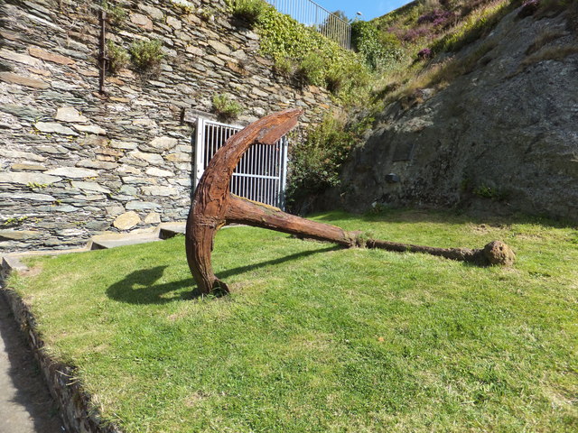
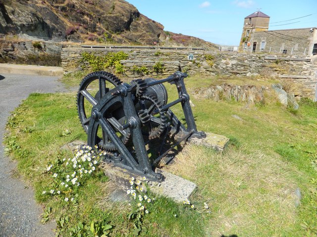
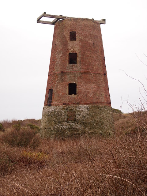
The town has a population of around 3,000 people and is known for its mining and maritime history. Amlwch was once a bustling port, exporting copper and other minerals extracted from nearby Parys Mountain, which was one of the largest copper mines in the world during the 18th and 19th centuries. Today, remnants of the mining industry can still be seen in the form of old mine shafts and ruins.
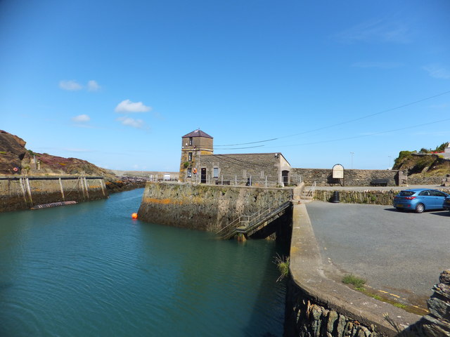
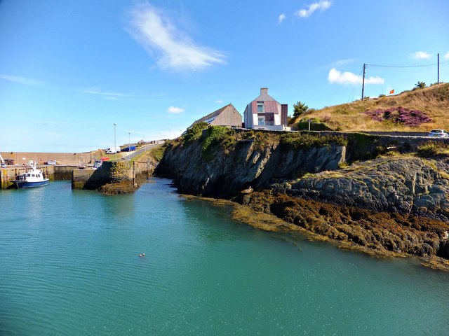
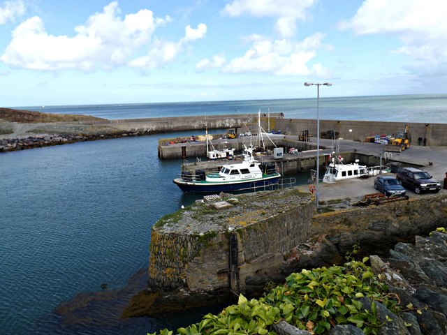
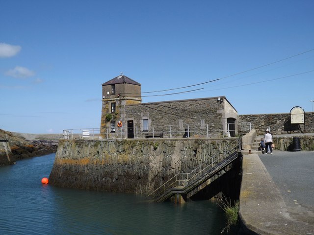
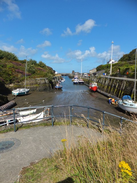
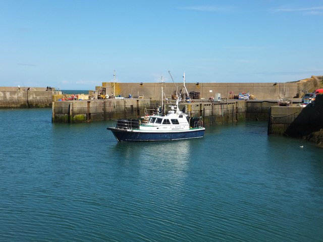
Amlwch is also famous for its picturesque harbor, which once served as an important commercial hub. The harbor is now primarily used for recreational purposes, with fishing and pleasure boats dotting the water. It provides a tranquil setting for visitors to enjoy stunning views of the Irish Sea.
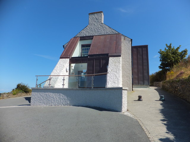
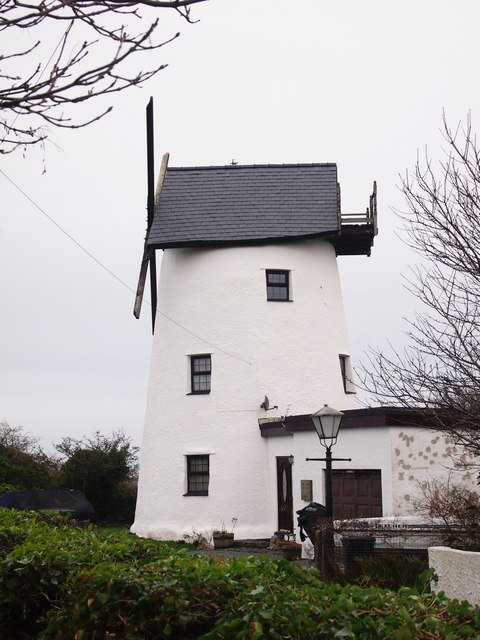
The town itself is charming, with narrow streets lined with traditional Welsh stone houses. It offers a range of amenities, including shops, cafes, and pubs, where visitors can experience the warm hospitality of the locals. Amlwch also has a number of historic landmarks, such as the 14th-century St. Eleth's Church and the town's Clock Tower, which stands as a symbol of its rich history.
Surrounded by beautiful countryside, Amlwch is an ideal location for outdoor enthusiasts. The nearby coastal paths offer breathtaking views and opportunities for hiking, while the beaches provide a perfect spot for relaxation and water sports.
In conclusion, Amlwch is a small yet vibrant town on the Isle of Anglesey, offering a blend of history, natural beauty, and a warm Welsh welcome.
If you have any feedback on the listing, please let us know in the comments section below.
Amlwch Images
Images are sourced within 2km of 53.410158/-4.345701 or Grid Reference SH4492. Thanks to Geograph Open Source API. All images are credited.
Amlwch is located at Grid Ref: SH4492 (Lat: 53.410158, Lng: -4.345701)
Unitary Authority: Isle of Anglesey
Police Authority: North Wales
What 3 Words
///guard.armed.wonderful. Near Amlwch, Isle of Anglesey
Nearby Locations
Related Wikis
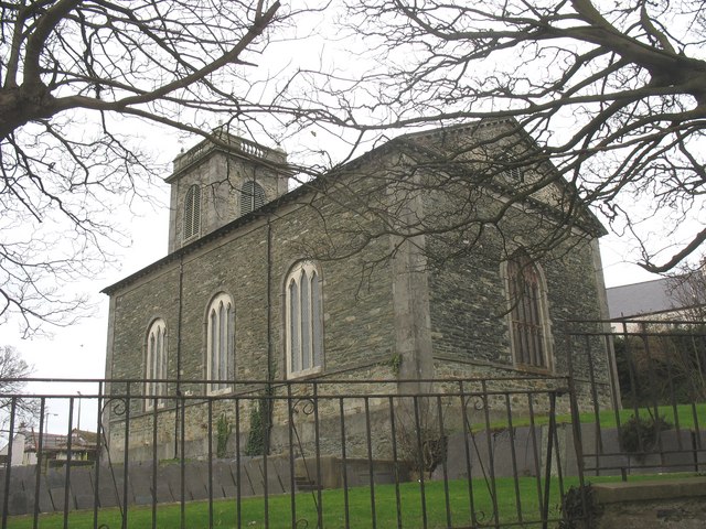
St Eleth's Church, Amlwch
St Eleth's Church, Amlwch is a parish church built in the Neo-classical style in 1800 in Amlwch, a town on the island of Anglesey in north Wales. It stands...

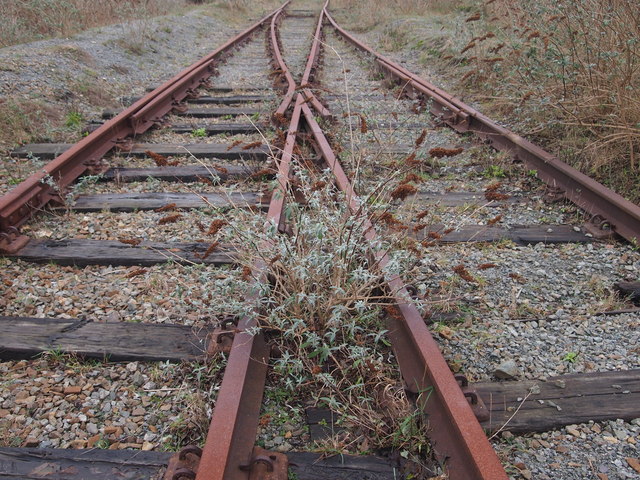
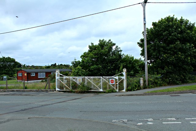
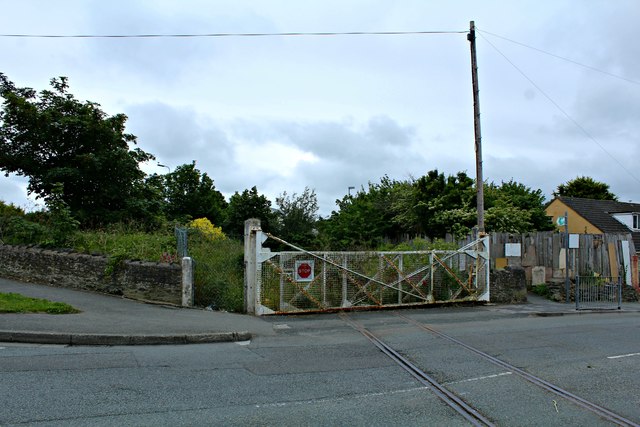
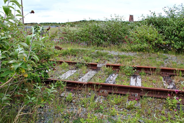
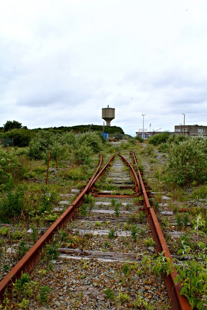
Amlwch railway station
Amlwch railway station was the original terminus of the Anglesey Central Railway line from Gaerwen. A light railway extension was later added for freight...

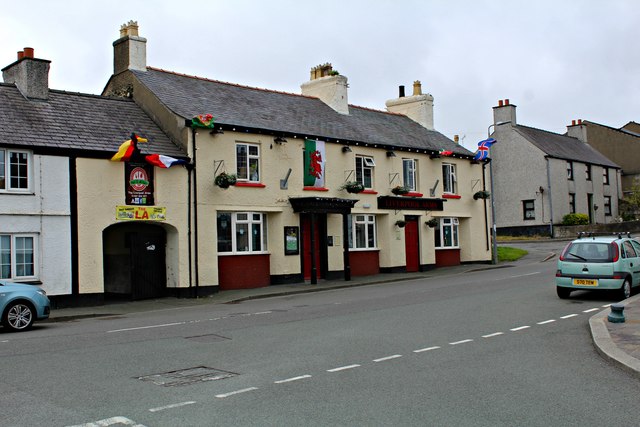
The King's Head, Amlwch
The King's Head, Amlwch is a public house situated in Salem Street, one of the main streets in Amlwch, Anglesey, Wales. The pub name is one of many King...

Anglesey Central Railway
The Anglesey Central Railway (Welsh: Lein Amlwch, Amlwch Line) was a 17.5-mile (28.2 km) standard-gauge railway in Anglesey, Wales, connecting the port...
Nearby Amenities
Located within 500m of 53.410158,-4.345701Have you been to Amlwch?
Leave your review of Amlwch below (or comments, questions and feedback).