Amington

Settlement in Warwickshire Tamworth

England

Amington

Tamworth Community Fire Station  (4) This photograph <a href="https://www.geograph.org.uk/photo/2019538">SK2202 : Tamworth Community Fire Station  (1)</a> shows another view of this Fire Station, from virtually the same viewpoint, but from an earlier date in Construction.
Tamworth Community Fire Station (4) Credit: Chris' Buet

Amington is a village located in the county of Warwickshire, in central England. It is situated approximately 2 miles southeast of the town of Tamworth and is part of the Tamworth local government district. With a population of around 11,000 people, Amington is a thriving community that offers a peaceful and picturesque setting for its residents.

The village is renowned for its rich history, dating back to the Roman period, with evidence of settlements and artifacts discovered in the surrounding area. Today, Amington retains its traditional charm with a mix of old and modern buildings, including several historic houses and a 13th-century church dedicated to St. Editha.

Amington benefits from a range of amenities, including local shops, pubs, and restaurants, providing residents with convenient access to everyday necessities. The village also boasts several green spaces, such as Dosthill Park and Amington Common, which offer opportunities for leisurely walks and outdoor activities.

Transport links in Amington are excellent, with easy access to major road networks, including the A5 and M42 motorway. The nearby Tamworth railway station provides regular train services to Birmingham, London, and other major cities, making commuting a breeze for residents.

Education is well-catered for in Amington, with a number of primary and secondary schools in the vicinity, ensuring that children have access to quality education close to home.

Overall, Amington is a delightful village that combines a rich history with modern conveniences, offering its residents a peaceful and idyllic place to call home.

If you have any feedback on the listing, please let us know in the comments section below.
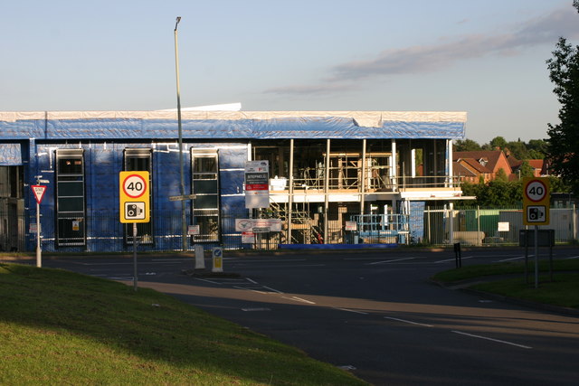
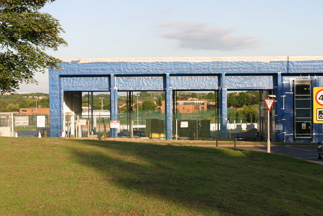
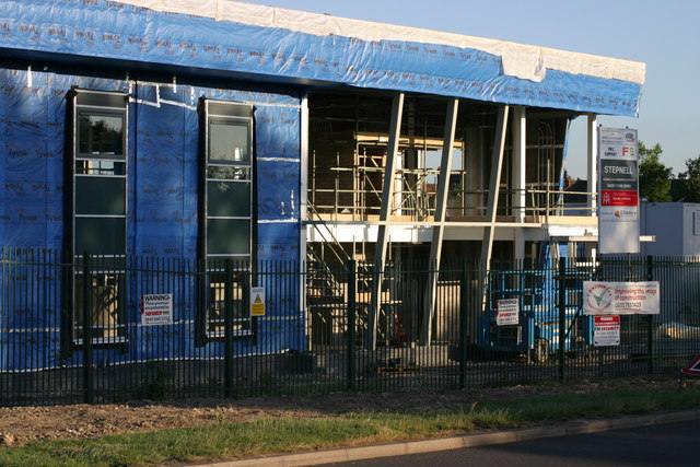
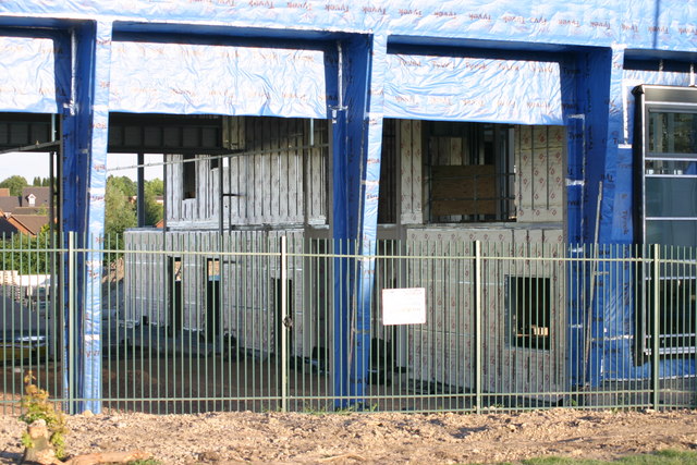
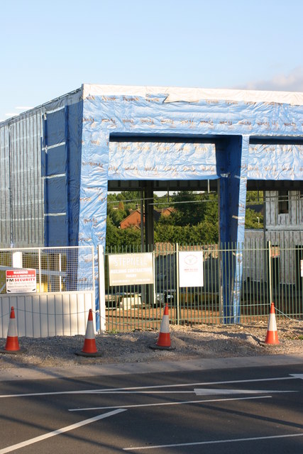
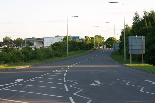
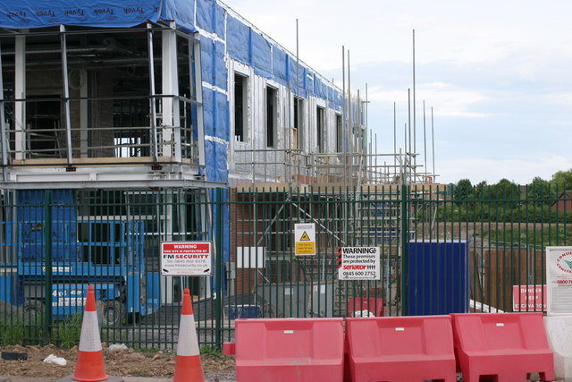
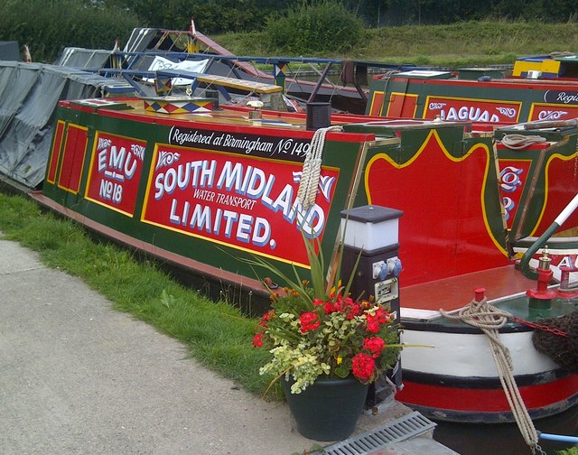
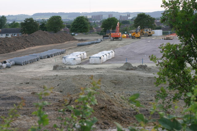
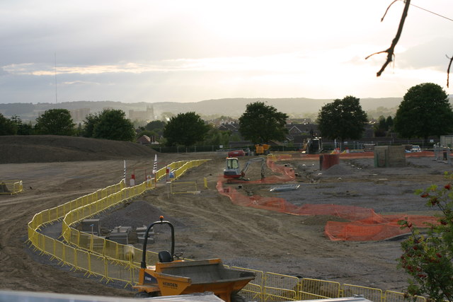
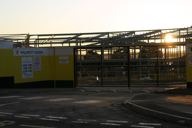
Amington Images

Images are sourced within 2km of 52.630497/-1.6605552 or Grid Reference SK2303. Thanks to Geograph Open Source API. All images are credited.

Tamworth Community Fire Station  (4) This photograph <a href="https://www.geograph.org.uk/photo/2019538">SK2202 : Tamworth Community Fire Station  (1)</a> shows another view of this Fire Station, from virtually the same viewpoint, but from an earlier date in Construction.
Tamworth Community Fire Station (4)
This photograph SK2202 : Tamworth Community Fire Station (1) shows another view of this Fire Station, from virtually the same viewpoint, but from an earlier date in Construction.
Tamworth Community Fire Station  (5) This photograph <a href="https://www.geograph.org.uk/photo/2019550">SK2202 : Tamworth Community Fire Station  (2)</a> shows a view from virtually the same viewpoint, but from an earlier date in construction.
Tamworth Community Fire Station (5)
This photograph SK2202 : Tamworth Community Fire Station (2) shows a view from virtually the same viewpoint, but from an earlier date in construction.
Tamworth Community Fire Station  (6) This photograph <a href="https://www.geograph.org.uk/photo/2424592">SK2202 : Tamworth Community Fire Station  (4)</a> shows another view of this Fire Station.
Tamworth Community Fire Station (6)
This photograph SK2202 : Tamworth Community Fire Station (4) shows another view of this Fire Station.
Tamworth Community Fire Station  (7) This photograph <a href="https://www.geograph.org.uk/photo/2424608">SK2202 : Tamworth Community Fire Station  (5)</a> shows another view of the above Fire station.
Tamworth Community Fire Station (7)
This photograph SK2202 : Tamworth Community Fire Station (5) shows another view of the above Fire station.
Tamworth Community Fire Station  (8) This photograph <a href="https://www.geograph.org.uk/photo/2424618">SK2202 : Tamworth Community Fire Station  (6)</a> shows another view of this Fire Station.
Tamworth Community Fire Station (8)
This photograph SK2202 : Tamworth Community Fire Station (6) shows another view of this Fire Station.
Tamworth Community Fire Station  (9) This photograph <a href="https://www.geograph.org.uk/photo/2424630">SK2202 : Tamworth Community Fire Station  (7)</a> shows another view of this Fire station.
Tamworth Community Fire Station (9)
This photograph SK2202 : Tamworth Community Fire Station (7) shows another view of this Fire station.
Tamworth Community Fire Station  (10) The above photograph shows this Fire station in the distance to the left handside of the photograph. This photograph <a href="https://www.geograph.org.uk/photo/2424608">SK2202 : Tamworth Community Fire Station  (5)</a> shows another view of this Fire station.
Tamworth Community Fire Station (10)
The above photograph shows this Fire station in the distance to the left handside of the photograph. This photograph SK2202 : Tamworth Community Fire Station (5) shows another view of this Fire station.
Tamworth Community Fire Station  (11) This photograph <a href="https://www.geograph.org.uk/photo/2424608">SK2202 : Tamworth Community Fire Station  (5)</a> shows another view of this Fire station while under construction.
Tamworth Community Fire Station (11)
This photograph SK2202 : Tamworth Community Fire Station (5) shows another view of this Fire station while under construction.
Silver Link Road, Tamworth
Narrowboats Marina Narrowboats moored up in storage within Alvecote marina
Narrowboats Marina
Narrowboats moored up in storage within Alvecote marina
Narrowboats Marina Alvecote A narrowboat moored up alongside the entrance to the Samuel Barlow public house
Narrowboats Marina Alvecote
A narrowboat moored up alongside the entrance to the Samuel Barlow public house
Narrowboat being repaired A repair is being carried out to a narrow-boat moored up outside the Samuel Barlow public house.

More information can be found about the narrow-boat here <span class="nowrap"><a title="http://hnbc.org.uk/boats/vienna" rel="nofollow ugc noopener" href="http://hnbc.org.uk/boats/vienna">Link</a><img style="margin-left:2px;" alt="External link" title="External link - shift click to open in new window" src="https://s1.geograph.org.uk/img/external.png" width="10" height="10"/></span>

"Vienna was registered at Birmingham No 1234 in 1911, but was then registered at Birmingham No 1347 in 1916 as Verbena (was this WWI sensibilities?). 
1972 Name changed back to Vienna, and was moored at Cheddleton Flint Mill on the Caldon for many years.
2011 Name changed to Verbena, again, and livery changed to South Midland Water Transport Limited".
Narrowboat being repaired
A repair is being carried out to a narrow-boat moored up outside the Samuel Barlow public house. More information can be found about the narrow-boat here LinkExternal link "Vienna was registered at Birmingham No 1234 in 1911, but was then registered at Birmingham No 1347 in 1916 as Verbena (was this WWI sensibilities?). 1972 Name changed back to Vienna, and was moored at Cheddleton Flint Mill on the Caldon for many years. 2011 Name changed to Verbena, again, and livery changed to South Midland Water Transport Limited".
Landau Forte Academy Amington  (1) The above photograph shows the beginning of the construction of the Landau Forte Academy, Amington, as will the other Landau Forte Academy Amington photographs posted after this one.
Landau Forte Academy Amington (1)
The above photograph shows the beginning of the construction of the Landau Forte Academy, Amington, as will the other Landau Forte Academy Amington photographs posted after this one.
Landau Forte Academy, Amington  (2)
Landau Forte Academy, Amington (2)
Landau Forte Academy , Amington  (3) This photographs shows a view of the girder structure of the Academy backlit by the evening sun. This photograph <a href="https://www.geograph.org.uk/photo/2682351">SK2203 : Landau Forte Academy Amington  (1)</a> shows another view of Academy construction site.
Landau Forte Academy , Amington (3)
This photographs shows a view of the girder structure of the Academy backlit by the evening sun. This photograph SK2203 : Landau Forte Academy Amington (1) shows another view of Academy construction site.
Landau Forte Academy, Amington  (4) This photograph <a href="https://www.geograph.org.uk/photo/2682351">SK2203 : Landau Forte Academy Amington  (1)</a> shows another view of the above building site.
Landau Forte Academy, Amington (4)
This photograph SK2203 : Landau Forte Academy Amington (1) shows another view of the above building site.
Landau Forte Academy, Amington  (5) The above photograph shows part of the new academy's girder structure backlit by the evening sun. This photograph <a href="https://www.geograph.org.uk/photo/2682382">SK2303 : Landau Forte Academy, Amington  (2)</a> shows another view of this academy under construction.
Landau Forte Academy, Amington (5)
The above photograph shows part of the new academy's girder structure backlit by the evening sun. This photograph SK2303 : Landau Forte Academy, Amington (2) shows another view of this academy under construction.
Landau Forte Academy, Amington  (6) This photograph <a href="https://www.geograph.org.uk/photo/2687637">SK2303 : Landau Forte Academy, Amington  (4)</a> shows another view of the above Academy construction site.
Landau Forte Academy, Amington (6)
This photograph SK2303 : Landau Forte Academy, Amington (4) shows another view of the above Academy construction site.
Show me another place!

Amington is located at Grid Ref: SK2303 (Lat: 52.630497, Lng: -1.6605552)

Administrative County: Staffordshire

District: Tamworth

Police Authority: Staffordshire

What 3 Words

///divide.truth.beyond. Near Tamworth, Staffordshire

Nearby Locations

Amington

Related Wikis

Amington

Amington is a suburban village, parish and ward, in Staffordshire, England. Formerly a distinct village, it is now part of the Tamworth borough, with no...

Landau Forte Academy Amington

Landau Forte Academy Amington (previously Landau Forte Academy Tamworth), is a high school situated in Amington, a suburb of Tamworth, Staffordshire. The...

Glascote

Glascote is an area of Tamworth, in the Tamworth district, in Staffordshire, England. The area centres on the Glascote Road, and is mainly residential...

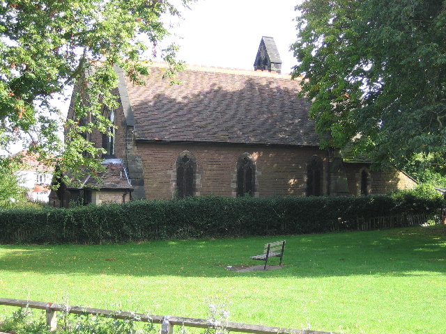
St Editha's Church, Amington

Amington Parish Church (dedicated to St Editha) is a Grade II listed parish church in the Church of England in Amington. == History == The church was built...

Bolehall Swifts F.C.

Bolehall Swifts Football Club is a football club based in Bolehall, a suburb of Tamworth, Staffordshire, England. They are currently members of the Midland...

Alvecote

Alvecote is a hamlet in the North Warwickshire district of Warwickshire, England, situated on the county border with Staffordshire. Other settlements nearby...

Belgrave, Tamworth

Belgrave is an area of Tamworth, Staffordshire, roughly 1+1⁄2 miles (2.4 km) from the town centre. The main feature of Belgrave is Marlborough way which...

Tamworth Enterprise College

Tamworth Enterprise College (formerly Belgrave High School) is a coeducational secondary school with academy status in Tamworth, Staffordshire, England...

Related Videos

Walking Tamworth in Staffordshire

Time to head up the A5 Watling Street and have a look at Tamworth Sam one of our subscribers invited me up to have a walk ...

What to See in #Tamworth in a Flash Visit | Discover the Capital of Mercia 【4K】

This video provides guidance for a one day visit to Tamworth, Staffordshire, England. We've focused our visit to 3 main touristic ...

Visiting an ancient capital City! | TAMWORTH WALKING TOUR🚶| Full tour of Historic Tamworth, England

Today I go to Tamworth England and look around the historic Town Centre. Tamworth is a market town and borough in ...

Tamworth England - A Relaxing Walk Through Nature in a Town in United Kingdeom TMV

Tamworth Walk. Town in England. Miles across the English Countryside. Beautiful Countryside United Kingdom. Amazing Places ...

Nearby Amenities

Located within 500m of 52.630497,-1.6605552
Mini Roundabout
Direction: clockwise
Lat/Long: 52.6321848/-1.654025
Traffic Calming: yes
Lat/Long: 52.6283448/-1.6662228
Bus Stop
Kerria Centre
Bus: yes
Naptan AtcoCode: 3800C900200
Naptan Bearing: S
Naptan CommonName: Kerria Centre
Naptan Indicator: Opp
Naptan Landmark: Kerria Centre
Naptan PlusbusZoneRef: TAMWORTH
Naptan Street: Kerria Rd
Naptan Verified: no
Public Transport: platform
Source: naptan_import
Lat/Long: 52.630905/-1.6536707
Bus Stop
Kerria Centre
Bus: yes
Naptan AtcoCode: 3800C900201
Naptan Bearing: N
Naptan CommonName: Kerria Centre
Naptan Indicator: Adj
Naptan Landmark: Kerria Centre
Naptan PlusbusZoneRef: TAMWORTH
Naptan Street: Kerria Rd
Naptan Verified: no
Public Transport: platform
Source: naptan_import
Lat/Long: 52.6307875/-1.6538601
Bus Stop
Tudor Crescent
Bus: yes
Naptan AtcoCode: 3800C900300
Naptan Bearing: NW
Naptan CommonName: Tudor Crescent
Naptan Indicator: Adj
Naptan Landmark: Tudor Cres
Naptan PlusbusZoneRef: TAMWORTH
Naptan Street: St George's Way
Naptan Verified: no
Public Transport: platform
Source: naptan_import
Lat/Long: 52.6303205/-1.6661306
Bus Stop
Tudor Crescent
Bus: yes
Naptan AtcoCode: 3800C900301
Naptan Bearing: NW
Naptan CommonName: Tudor Crescent
Naptan Indicator: Opp
Naptan Landmark: Tudor Cres
Naptan PlusbusZoneRef: TAMWORTH
Naptan Street: St Georges Way
Naptan Verified: no
Public Transport: platform
Source: naptan_import
Lat/Long: 52.6304647/-1.6662625
Bus Stop
Jasmine Road
Bus: yes
Naptan AtcoCode: 3800C903600
Naptan Bearing: E
Naptan CommonName: Jasmine Road
Naptan Indicator: Adj
Naptan Landmark: Jasmine Rd
Naptan PlusbusZoneRef: TAMWORTH
Naptan Street: Woodland Rd
Naptan Verified: no
Public Transport: platform
Source: naptan_import
Lat/Long: 52.6324265/-1.6575151
Bus Stop
Jasmine Road
Bus: yes
Naptan AtcoCode: 3800C903601
Naptan Bearing: W
Naptan CommonName: Jasmine Road
Naptan Indicator: Adj
Naptan Landmark: Jasmine Rd
Naptan PlusbusZoneRef: TAMWORTH
Naptan Street: Woodland Rd
Naptan Verified: no
Public Transport: platform
Source: naptan_import
Lat/Long: 52.6322542/-1.6570141
Bus Stop
Canning Road
Bus: yes
Naptan AtcoCode: 3800C914701
Naptan Bearing: N
Naptan CommonName: Canning Road
Naptan Indicator: Adj
Naptan Landmark: Canning Road
Naptan PlusbusZoneRef: TAMWORTH
Naptan Street: Sheepcote Ln
Naptan Verified: no
Public Transport: platform
Source: naptan_import
Lat/Long: 52.6281006/-1.6663691
Bus Stop
Canning Road
Bus: yes
Naptan AtcoCode: 3800C914702
Naptan Bearing: S
Naptan CommonName: Canning Road
Naptan Indicator: Opp
Naptan Landmark: Canning Rd
Naptan PlusbusZoneRef: TAMWORTH
Naptan Street: Sheepcote Ln
Naptan Verified: no
Public Transport: platform
Source: naptan_import
Lat/Long: 52.6284595/-1.66613
Bus Stop
Juniper
Bus: yes
Naptan AtcoCode: 3800C916301
Naptan Bearing: E
Naptan CommonName: Juniper
Naptan Indicator: Adj
Naptan Landmark: Juniper
Naptan PlusbusZoneRef: TAMWORTH
Naptan Street: Woodlands Rd
Naptan Verified: no
Public Transport: platform
Source: naptan_import
Lat/Long: 52.6320784/-1.655272
Bus Stop
Jasmin Road
Bus: yes
Naptan AtcoCode: 3800C916302
Naptan Bearing: W
Naptan CommonName: Jasmin Road
Naptan Indicator: Adj
Naptan Landmark: Jasmin Rd
Naptan PlusbusZoneRef: TAMWORTH
Naptan Street: Woodland Rd
Naptan Verified: no
Public Transport: platform
Source: naptan_import
Lat/Long: 52.6319956/-1.6546373
Bus Stop
Foxglove
Bus: yes
Naptan AtcoCode: 3800C916501
Naptan Bearing: N
Naptan CommonName: Foxglove
Naptan Indicator: Adj
Naptan Landmark: Foxglove
Naptan PlusbusZoneRef: TAMWORTH
Naptan Street: Woodlands Rd
Naptan Verified: no
Public Transport: platform
Source: naptan_import
Lat/Long: 52.6285799/-1.6610467
Bus Stop
Foxglove
Bus: yes
Naptan AtcoCode: 3800C916502
Naptan Bearing: S
Naptan CommonName: Foxglove
Naptan Indicator: Adj
Naptan Landmark: Foxglove
Naptan PlusbusZoneRef: TAMWORTH
Naptan Street: Woodlands Rd
Naptan Verified: no
Public Transport: platform
Source: naptan_import
Lat/Long: 52.6289841/-1.6608958
Bus Stop
Briar
Bus: yes
Naptan AtcoCode: 3800C916601
Naptan Bearing: N
Naptan CommonName: Briar
Naptan Indicator: Opp
Naptan Landmark: Briar
Naptan PlusbusZoneRef: TAMWORTH
Naptan Street: Woodlands Rd
Naptan Verified: no
Public Transport: platform
Source: naptan_import
Lat/Long: 52.6264749/-1.6605754
Bus Stop
Brookweed
Bus: yes
Naptan AtcoCode: 3800C916602
Naptan Bearing: S
Naptan CommonName: Brookweed
Naptan Indicator: Adj
Naptan Landmark: Brookweed
Naptan PlusbusZoneRef: TAMWORTH
Naptan Street: Woodlands Rd
Naptan Verified: no
Public Transport: platform
Source: naptan_import
Lat/Long: 52.6266989/-1.6603226
Traffic Calming: yes
Lat/Long: 52.6289288/-1.6666986
Entrance: main
Lat/Long: 52.6308463/-1.6616776
Post Box
Ref: B77 1300
Lat/Long: 52.6303164/-1.666117
Crossing
Crossing: zebra
Lat/Long: 52.6303806/-1.6538493
Post Box
Ref: B77 1302
Lat/Long: 52.6266931/-1.6592321
Crossing
Crossing: traffic_signals
Lat/Long: 52.6290522/-1.660981
Waste Basket
Lat/Long: 52.6305383/-1.6654918
Waste Basket
Lat/Long: 52.6311045/-1.6649813
Waste Basket
Lat/Long: 52.6341411/-1.6641562
Grit Bin
Lat/Long: 52.6342722/-1.6643866
Waste Basket
Lat/Long: 52.6296663/-1.6639013
Waste Basket
Lat/Long: 52.6281127/-1.661108
Waste Basket
Lat/Long: 52.6293163/-1.6610188
Waste Basket
Lat/Long: 52.6275181/-1.6633628
Waste Basket
Lat/Long: 52.6276233/-1.665502
Generator Method: photovoltaic
Generator Output Electricity: yes
Generator Source: solar
Generator Type: solar_photovoltaic_panel
Location: roof
Power: generator
Lat/Long: 52.6311924/-1.6658396
Generator Method: photovoltaic
Generator Output Electricity: yes
Generator Source: solar
Generator Type: solar_photovoltaic_panel
Location: roof
Power: generator
Lat/Long: 52.6308375/-1.6655579
Generator Method: photovoltaic
Generator Output Electricity: yes
Generator Source: solar
Generator Type: solar_photovoltaic_panel
Location: roof
Power: generator
Lat/Long: 52.6305461/-1.6643885
Generator Method: photovoltaic
Generator Output Electricity: yes
Generator Source: solar
Generator Type: solar_photovoltaic_panel
Location: roof
Power: generator
Lat/Long: 52.6294928/-1.6674489
Generator Method: photovoltaic
Generator Output Electricity: yes
Generator Source: solar
Generator Type: solar_photovoltaic_panel
Location: roof
Power: generator
Lat/Long: 52.6281611/-1.663608
Generator Method: photovoltaic
Generator Output Electricity: yes
Generator Source: solar
Generator Type: solar_photovoltaic_panel
Location: roof
Power: generator
Lat/Long: 52.6283727/-1.6648793
Generator Method: photovoltaic
Generator Output Electricity: yes
Generator Source: solar
Generator Type: solar_photovoltaic_panel
Location: roof
Power: generator
Lat/Long: 52.6290353/-1.6651154
Generator Method: photovoltaic
Generator Output Electricity: yes
Generator Source: solar
Generator Type: solar_photovoltaic_panel
Location: roof
Power: generator
Lat/Long: 52.6290256/-1.6650349
Generator Method: photovoltaic
Generator Output Electricity: yes
Generator Source: solar
Generator Type: solar_photovoltaic_panel
Location: roof
Power: generator
Lat/Long: 52.629343/-1.662232
Generator Method: photovoltaic
Generator Output Electricity: yes
Generator Source: solar
Generator Type: solar_photovoltaic_panel
Location: roof
Power: generator
Lat/Long: 52.6289035/-1.6615319
Generator Method: photovoltaic
Generator Output Electricity: yes
Generator Source: solar
Generator Type: solar_photovoltaic_panel
Location: roof
Power: generator
Lat/Long: 52.6286267/-1.6618162
Generator Method: photovoltaic
Generator Output Electricity: yes
Generator Source: solar
Generator Type: solar_photovoltaic_panel
Location: roof
Power: generator
Lat/Long: 52.6280211/-1.661725
Generator Method: photovoltaic
Generator Output Electricity: yes
Generator Source: solar
Generator Type: solar_photovoltaic_panel
Location: roof
Power: generator
Lat/Long: 52.6284492/-1.6629937
Generator Method: photovoltaic
Generator Output Electricity: yes
Generator Source: solar
Generator Type: solar_photovoltaic_panel
Location: roof
Power: generator
Lat/Long: 52.6284297/-1.6628462
Generator Method: photovoltaic
Generator Output Electricity: yes
Generator Source: solar
Generator Type: solar_photovoltaic_panel
Location: roof
Power: generator
Lat/Long: 52.6284264/-1.6627416
Generator Method: photovoltaic
Generator Output Electricity: yes
Generator Source: solar
Generator Type: solar_photovoltaic_panel
Location: roof
Power: generator
Lat/Long: 52.6282474/-1.6588041
Generator Method: photovoltaic
Generator Output Electricity: yes
Generator Source: solar
Generator Type: solar_photovoltaic_panel
Location: roof
Power: generator
Lat/Long: 52.6285909/-1.6591018
Generator Method: photovoltaic
Generator Output Electricity: yes
Generator Source: solar
Generator Type: solar_photovoltaic_panel
Location: roof
Power: generator
Lat/Long: 52.62905/-1.6596705
Generator Method: photovoltaic
Generator Output Electricity: yes
Generator Source: solar
Generator Type: solar_photovoltaic_panel
Location: roof
Power: generator
Lat/Long: 52.6291021/-1.6587022
Generator Method: photovoltaic
Generator Output Electricity: yes
Generator Source: solar
Generator Type: solar_photovoltaic_panel
Location: roof
Power: generator
Lat/Long: 52.6290923/-1.6586271
Generator Method: photovoltaic
Generator Output Electricity: yes
Generator Source: solar
Generator Type: solar_photovoltaic_panel
Location: roof
Power: generator
Lat/Long: 52.6297419/-1.6589248
Generator Method: photovoltaic
Generator Output Electricity: yes
Generator Source: solar
Generator Type: solar_photovoltaic_panel
Location: roof
Power: generator
Lat/Long: 52.6270572/-1.6577205
Waste Basket
Lat/Long: 52.6298978/-1.665925
Crossing
Crossing: unmarked
Lat/Long: 52.6300198/-1.6538902
Waste Basket
Lat/Long: 52.6277369/-1.6591095
Grit Bin
Lat/Long: 52.627161/-1.6572738
Grit Bin
Lat/Long: 52.6342109/-1.6616192
Waste Basket
Lat/Long: 52.633821/-1.6600531
Grit Bin
Lat/Long: 52.6342291/-1.6591453
Waste Basket
Lat/Long: 52.6343784/-1.6589825
Grit Bin
Lat/Long: 52.6262506/-1.6594021
The data included in this document is from www.openstreetmap.org. The data is made available under ODbL.

Have you been to Amington?

Leave your review of Amington below (or comments, questions and feedback).