Charlton

Settlement in Worcestershire Wychavon

England

Charlton

Cropthorne church The setting sun casting long shadows over Cropthorne church which is dedicated to St Michael.
Cropthorne church Credit: Philip Halling

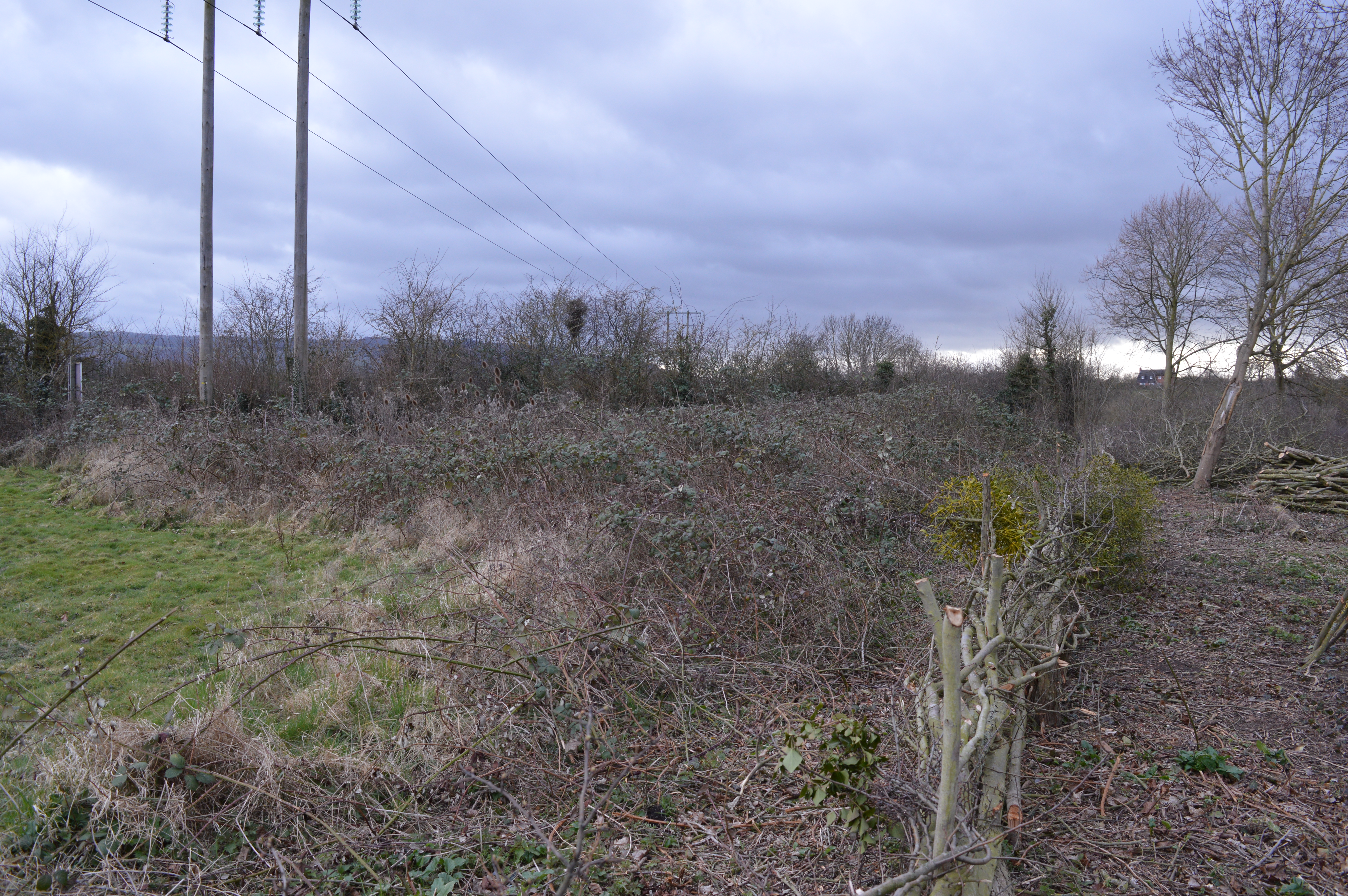
Charlton is a small village located in the county of Worcestershire, England. Situated in the Malvern Hills district, it lies approximately 3 miles east of the town of Pershore and 10 miles south of the city of Worcester. The village is nestled in a picturesque countryside setting, surrounded by rolling hills and beautiful green landscapes.

Charlton is a quiet and peaceful village, known for its charming rural character and close-knit community. It is primarily a residential area, with a population of around 600 people. The village is characterized by its traditional architecture, featuring many historic buildings and thatched cottages, adding to its quaint and timeless appeal.

Although small, Charlton has some essential amenities to serve its residents. These include a village hall, a primary school, and a local pub, which serves as a social hub for the community. The village also benefits from being close to larger towns and cities, providing access to a wider range of services and facilities.

Nature enthusiasts will appreciate the natural beauty that surrounds Charlton. The village is in close proximity to the Malvern Hills Area of Outstanding Natural Beauty, offering ample opportunities for hiking, cycling, and exploring the great outdoors. The nearby River Avon also provides a picturesque spot for fishing and leisure activities.

Overall, Charlton offers a tranquil and idyllic lifestyle, with its scenic countryside setting and strong community spirit. It is a charming village that provides a peaceful retreat from the hustle and bustle of nearby urban areas.

If you have any feedback on the listing, please let us know in the comments section below.
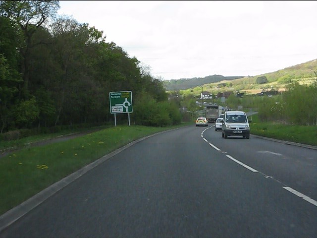
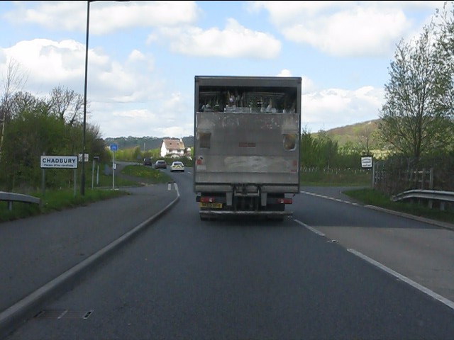
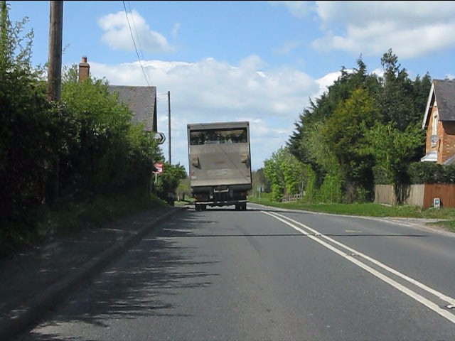
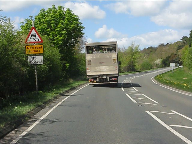
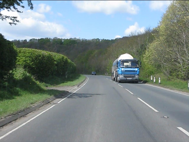
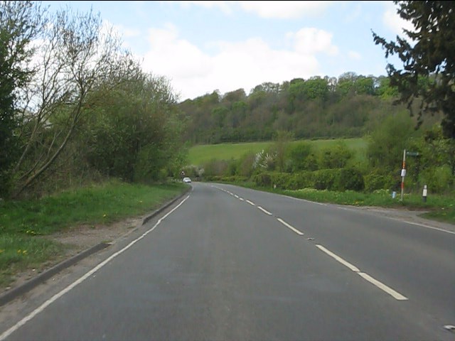
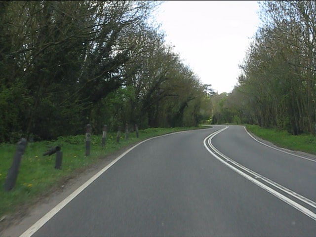
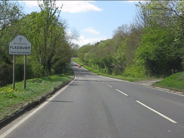
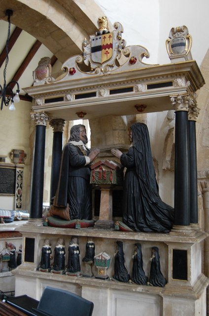
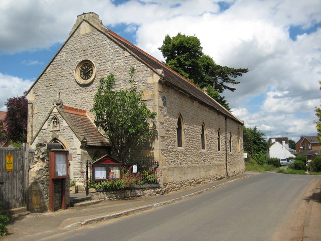
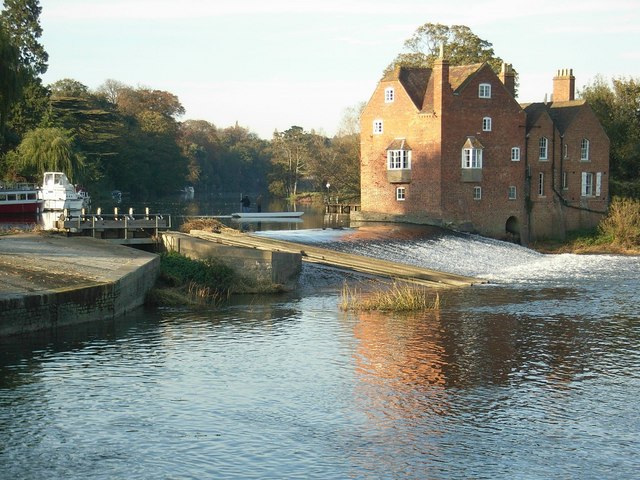
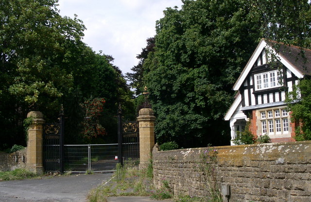
Charlton Images

Images are sourced within 2km of 52.108844/-1.9876599 or Grid Reference SP0045. Thanks to Geograph Open Source API. All images are credited.

Cropthorne church The setting sun casting long shadows over Cropthorne church which is dedicated to St Michael.
Cropthorne church
The setting sun casting long shadows over Cropthorne church which is dedicated to St Michael.
Memorial tomb, Cropthorne church
Memorial effigies, Cropthorne church Effigies on a memorial tomb, Cropthorne church.
Memorial effigies, Cropthorne church
Effigies on a memorial tomb, Cropthorne church.
Memorial effigies, Cropthorne church
Memorial effigy, Cropthorne church
A44 near Abbey Manor
A44 entering Chadbury
A44 at the junction for Lenchwick
A44 near Wood Norton
A44 west of Wood Norton
A44 at the access to Craycombe Hill
A44 south of Craycombe Hill
A44 entering Fladbury
Organ in Cropthorne Church Maker and Year unknown. Thought to be  200 years old. Was originally in St Andrew's church, Pershore, and bought to Cropthorne in 1919. Now electric blower, but original handle still survives.
Organ in Cropthorne Church
Maker and Year unknown. Thought to be 200 years old. Was originally in St Andrew's church, Pershore, and bought to Cropthorne in 1919. Now electric blower, but original handle still survives.
St Michael's Church, Cropthorne Grade I listed. Parts of the Chancel date from 1100, the tower is 12th C, a spire was planned, but never carried out. The rest of the church is 14th C. Restored in 1893.
Lady Chapel in South arcade, with glass from late 13th C. There is a stone cross recovered from the window sill in the south aisle, believed to be from about 800 AD.
The church contains two fine tombs to the Dingley family.
St Michael's Church, Cropthorne
Grade I listed. Parts of the Chancel date from 1100, the tower is 12th C, a spire was planned, but never carried out. The rest of the church is 14th C. Restored in 1893. Lady Chapel in South arcade, with glass from late 13th C. There is a stone cross recovered from the window sill in the south aisle, believed to be from about 800 AD. The church contains two fine tombs to the Dingley family.
Memorial to Edward and Joyce Dingley, Cropthorne church There are two tombs to the Dingley or Dineley family in the  church of St Michael's, Cropthorne.
One is for Francis Dineley, the other for his grandson Edward Dingley.
The Dineleys date back to the 14th Century, mostly around the area of Cropthorne and Charlton, Worcestershire.

Francis Dineley (1550 - 1624) and his wife Elizabeth Bigge (1554 - 1632) are shown as effigies on a tomb chest;
he in armour and she in the dress of the period. They were  married for 50 years. He was killed in a duel in 1624.
They had 19 children in all, 11 sons and 8 daughters, and these are shown in detail around the base of the tomb.
One boy died in infancy, and 2 boys and 1 girl died as babies. Their cradles can  be seen, as if flying.
The eldest son was Henry, Edward Dingley's father.

Edward Dingley (1592 - 1646) is depicted in the tomb nearby, with his wife Joyce. They are shown kneeling in mourning dress at a prie-dieu under a canopy supported by black marble columns.
Their 4 sons and 3 daughters are shown as weepers below. One son died in infancy and is shown on a strange pedestal.
All the children's hands have been removed, as seen elsewhere. <a href="https://www.geograph.org.uk/photo/2620838">SK9488 : Isabel Wray on Tomb of Sir Christopher Wray</a>
The Charlton Dingley line died out in 1809.
Memorial to Edward and Joyce Dingley, Cropthorne church
There are two tombs to the Dingley or Dineley family in the church of St Michael's, Cropthorne. One is for Francis Dineley, the other for his grandson Edward Dingley. The Dineleys date back to the 14th Century, mostly around the area of Cropthorne and Charlton, Worcestershire. Francis Dineley (1550 - 1624) and his wife Elizabeth Bigge (1554 - 1632) are shown as effigies on a tomb chest; he in armour and she in the dress of the period. They were married for 50 years. He was killed in a duel in 1624. They had 19 children in all, 11 sons and 8 daughters, and these are shown in detail around the base of the tomb. One boy died in infancy, and 2 boys and 1 girl died as babies. Their cradles can be seen, as if flying. The eldest son was Henry, Edward Dingley's father. Edward Dingley (1592 - 1646) is depicted in the tomb nearby, with his wife Joyce. They are shown kneeling in mourning dress at a prie-dieu under a canopy supported by black marble columns. Their 4 sons and 3 daughters are shown as weepers below. One son died in infancy and is shown on a strange pedestal. All the children's hands have been removed, as seen elsewhere. SK9488 : Isabel Wray on Tomb of Sir Christopher Wray The Charlton Dingley line died out in 1809.
Prayer Book, Dingley Memorial, Cropthorne church There are two tombs to the Dingley or Dineley family in the  church of St Michael's, Cropthorne.
One is for Francis Dineley, the other for his grandson Edward Dingley.
The Dineleys date back to the 14th Century, mostly around the area of Cropthorne and Charlton, Worcestershire.

Francis Dineley (1550 - 1624) and his wife Elizabeth Bigge (1554 - 1632) are shown as effigies on a tomb chest;
he in armour and she in the dress of the period. They were  married for 50 years. He was killed in a duel in 1624.
They had 19 children in all, 11 sons and 8 daughters, and these are shown in detail around the base of the tomb.
One boy died in infancy, and 2 boys and 1 girl died as babies. Their cradles can  be seen, as if flying.
The eldest son was Henry, Edward Dingley's father.

Edward Dingley (1592 - 1646) is depicted in the tomb nearby, with his wife Joyce. They are shown kneeling in mourning dress at a prie-dieu under a canopy supported by black marble columns.
Their 4 sons and 3 daughters are shown as weepers below. One son died in infancy and is shown on a strange pedestal.
All the children's hands have been removed, as seen elsewhere. <a href="https://www.geograph.org.uk/photo/2620838">SK9488 : Isabel Wray on Tomb of Sir Christopher Wray</a>
The Charlton Dingley line died out in 1809.
Prayer Book, Dingley Memorial, Cropthorne church
There are two tombs to the Dingley or Dineley family in the church of St Michael's, Cropthorne. One is for Francis Dineley, the other for his grandson Edward Dingley. The Dineleys date back to the 14th Century, mostly around the area of Cropthorne and Charlton, Worcestershire. Francis Dineley (1550 - 1624) and his wife Elizabeth Bigge (1554 - 1632) are shown as effigies on a tomb chest; he in armour and she in the dress of the period. They were married for 50 years. He was killed in a duel in 1624. They had 19 children in all, 11 sons and 8 daughters, and these are shown in detail around the base of the tomb. One boy died in infancy, and 2 boys and 1 girl died as babies. Their cradles can be seen, as if flying. The eldest son was Henry, Edward Dingley's father. Edward Dingley (1592 - 1646) is depicted in the tomb nearby, with his wife Joyce. They are shown kneeling in mourning dress at a prie-dieu under a canopy supported by black marble columns. Their 4 sons and 3 daughters are shown as weepers below. One son died in infancy and is shown on a strange pedestal. All the children's hands have been removed, as seen elsewhere. SK9488 : Isabel Wray on Tomb of Sir Christopher Wray The Charlton Dingley line died out in 1809.
Show me another place!

Charlton is located at Grid Ref: SP0045 (Lat: 52.108844, Lng: -1.9876599)

Administrative County: Worcestershire

District: Wychavon

Police Authority: West Mercia

What 3 Words

///scoots.bulletins.bids. Near Evesham, Worcestershire

Nearby Locations

Charlton

Related Wikis

Charlton, Worcestershire

Charlton is a village in the Wychavon district of the county of Worcestershire, England. During the 2007 United Kingdom floods, many homes were affected...

Cropthorne

Cropthorne is a village and civil parish in Worcestershire, England within the Vale of Evesham, and on the North-west edge of the Cotswolds. It is approximately...

Fladbury

Fladbury is a traditional English village located in rural Worcestershire, England. The village was mentioned in the Domesday Book, almost 1,000 years...

Wood Norton Hall

Wood Norton Hall is a Grade II* listed Victorian stately home to the northwest of Evesham, Worcestershire, England. It was the last home in England of...

Cropthorne New Inn Section

Cropthorne New Inn Section is a 0.12-hectare (0.30-acre) geological Site of Special Scientific Interest in Cropthorne in Worcestershire. It is a Geological...

Fladbury railway station

Fladbury railway station was a station in Fladbury, Worcestershire, England. The station was opened in 1854 and closed in 1966. == References == ��2�...

Norton and Lenchwick

Norton and Lenchwick is a civil parish in the Wychavon district, in the county of Worcestershire, England. The parish population in 2021 was 1,056. The...

Evesham Cricket Club Ground

The Evesham Cricket Club Ground in Evesham, Worcestershire was used for first-class cricket by Worcestershire County Cricket Club on a single occasion...

Nearby Amenities

Located within 500m of 52.108844,-1.9876599
Charlton
Place: village
Source: NPE
Wikidata: Q2752278
Lat/Long: 52.1091031/-1.9869049
Bus Stop
The Strand
Bus: yes
Naptan AtcoCode: 2000G072500
Naptan Bearing: SW
Naptan CommonName: Shelter
Naptan Indicator: Adj
Naptan Landmark: Bus Shelter
Naptan NaptanCode: wocdwmtw
Naptan Street: The Strand
Naptan Verified: no
Public Transport: platform
Source: naptan_import
Lat/Long: 52.1086779/-1.9880732
Bus Stop
The Strand
Bus: yes
Naptan AtcoCode: 2000G072501
Naptan Bearing: NE
Naptan CommonName: Shelter
Naptan Indicator: Opp
Naptan Landmark: Bus Shelter
Naptan NaptanCode: wocgptpg
Naptan Street: The Strand
Naptan Verified: no
Public Transport: platform
Source: naptan_import
Lat/Long: 52.1086649/-1.9885813
Telephone
Defibrillator
Booth: K6
Covered: booth
Defibrillator Location: inside old red phone box on green, Charlton Green
Emergency: defibrillator
Man Made: telephone_box
Lat/Long: 52.1086132/-1.9874926
Post Box
Note: Revisited Jun 2015. Location and tags are correct.
Post Box Type: lamp
Ref: WR10 302
Royal Cypher: EIIR
Royal Cypher Wikidata: Q33102113
Lat/Long: 52.1086444/-1.9875293
Barrier: stile
Lat/Long: 52.1092515/-1.9896005
Power: pole
Lat/Long: 52.1048504/-1.9865999
Power: pole
Lat/Long: 52.1061789/-1.9830699
Power: pole
Lat/Long: 52.1067835/-1.9812728
Power: pole
Lat/Long: 52.1055629/-1.9848408
Bench
Lat/Long: 52.1084037/-1.9882139
Bench
Lat/Long: 52.1086101/-1.9882463
Bench
Lat/Long: 52.1087238/-1.9879083
Generator Method: photovoltaic
Generator Output Electricity: yes
Generator Source: solar
Generator Type: solar_photovoltaic_panel
Location: roof
Power: generator
Lat/Long: 52.108375/-1.9921088
Generator Method: photovoltaic
Generator Output Electricity: yes
Generator Source: solar
Generator Type: solar_photovoltaic_panel
Location: roof
Power: generator
Lat/Long: 52.1084079/-1.9919693
Generator Method: photovoltaic
Generator Output Electricity: yes
Generator Source: solar
Generator Type: solar_photovoltaic_panel
Location: roof
Power: generator
Lat/Long: 52.1086566/-1.9898558
Generator Method: photovoltaic
Generator Output Electricity: yes
Generator Source: solar
Generator Type: solar_photovoltaic_panel
Location: roof
Power: generator
Lat/Long: 52.1088296/-1.9906873
Generator Method: photovoltaic
Generator Output Electricity: yes
Generator Source: solar
Generator Type: solar_photovoltaic_panel
Location: roof
Power: generator
Lat/Long: 52.1087538/-1.9851297
Generator Method: photovoltaic
Generator Output Electricity: yes
Generator Source: solar
Generator Type: solar_photovoltaic_panel
Location: roof
Power: generator
Lat/Long: 52.109622/-1.9849768
Charlton West
Power: pole
Transformer: distribution
Voltage Primary: 11000
Lat/Long: 52.1089618/-1.9916596
Charlton Ford
Power: pole
Transformer: distribution
Voltage Primary: 11000
Lat/Long: 52.1077626/-1.9889438
Power: pole
Lat/Long: 52.1080867/-1.989377
Power: pole
Lat/Long: 52.1085866/-1.9896935
Power: pole
Lat/Long: 52.1091055/-1.99001
Power: pole
Lat/Long: 52.1093823/-1.989774
Power: pole
Lat/Long: 52.1097175/-1.9889988
Power: pole
Lat/Long: 52.1100412/-1.9882451
Power: pole
Lat/Long: 52.1103723/-1.9875209
Power: transformer
Transformer: distribution
Voltage Primary: 11000
Lat/Long: 52.1097274/-1.9866894
Location Transition: yes
Power: pole
Lat/Long: 52.1108961/-1.9866841
Charlton
Power: pole
Transformer: distribution
Voltage Primary: 11000
Lat/Long: 52.1114068/-1.9858801
Power: pole
Lat/Long: 52.111471/-1.9858747
Power: pole
Lat/Long: 52.1121015/-1.9859277
Power: pole
Lat/Long: 52.1128225/-1.9859874
Power: pole
Lat/Long: 52.1073557/-1.9849929
Charton South
Power: pole
Transformer: distribution
Voltage Primary: 11000
Lat/Long: 52.1082584/-1.9851478
Power: pole
Lat/Long: 52.1078161/-1.985067
Power: pole
Lat/Long: 52.1064957/-1.9848488
Canada Bank
Power: pole
Transformer: distribution
Voltage Primary: 11000
Lat/Long: 52.1056971/-1.984725
Location Transition: yes
Power: pole
Lat/Long: 52.1052416/-1.9844431
The data included in this document is from www.openstreetmap.org. The data is made available under ODbL.

Have you been to Charlton?

Leave your review of Charlton below (or comments, questions and feedback).