Charlton
Settlement in Worcestershire Wychavon
England
Charlton
Charlton is a small village located in the county of Worcestershire, England. Situated approximately 3 miles south of the town of Pershore, Charlton is nestled in a picturesque rural landscape, surrounded by rolling hills and farmland.
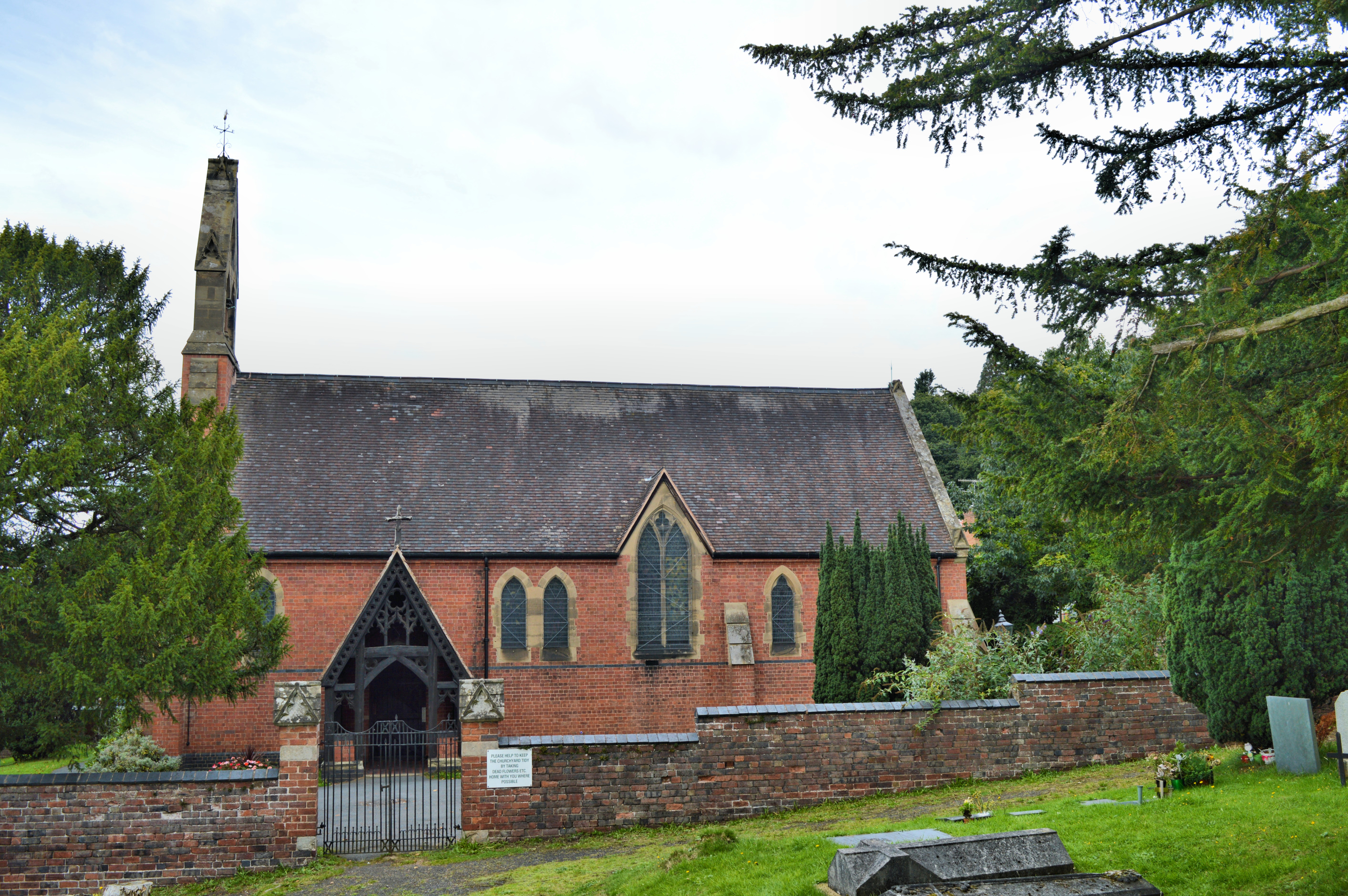
The village has a long history, with evidence of settlements dating back to the Iron Age. Today, Charlton retains much of its traditional charm and character, with a mix of period buildings and modern developments. The village center features a historic church, St. John the Baptist, which dates back to the 13th century and is known for its beautiful stained glass windows.
Despite its small size, Charlton offers a range of amenities for its residents and visitors. The village has a primary school, providing education for local children, and a community hall that hosts various events and activities throughout the year. There is also a local pub, The Fleece Inn, which is renowned for its traditional atmosphere and serves as a popular gathering place for locals and tourists alike.
For those seeking outdoor activities, Charlton is surrounded by stunning natural landscapes. The countryside offers ample opportunities for walking, cycling, and exploring the nearby River Avon. Additionally, the village is within easy reach of the Cotswolds, an Area of Outstanding Natural Beauty, which offers further recreational opportunities.
Overall, Charlton is a charming and historic village, offering a peaceful escape from the hustle and bustle of nearby towns and cities. Its idyllic setting, coupled with its amenities and proximity to natural beauty spots, makes it an attractive place to live or visit.
If you have any feedback on the listing, please let us know in the comments section below.
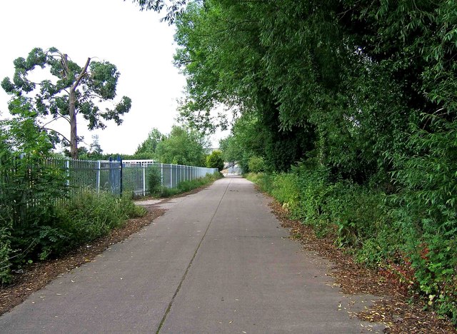
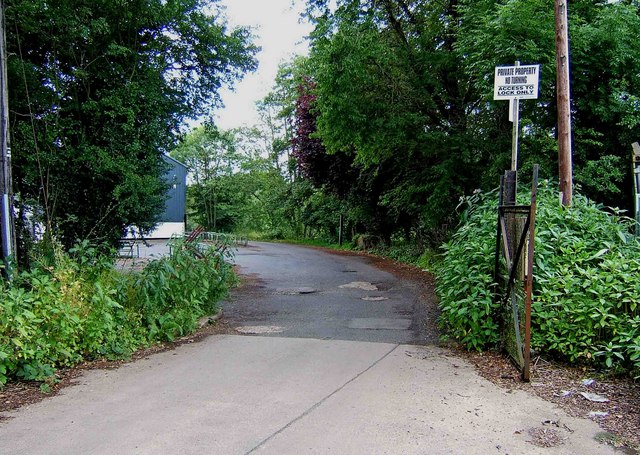
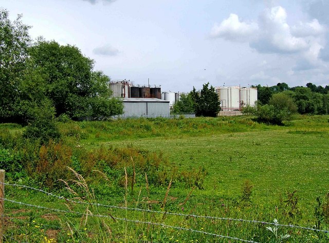
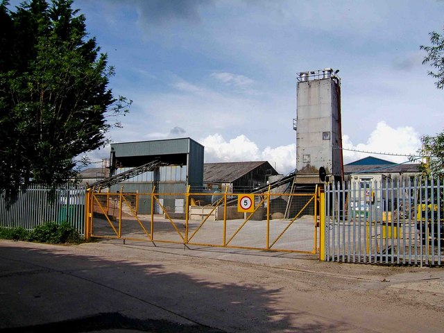
Charlton Images
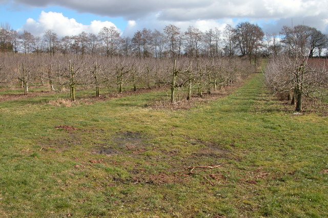
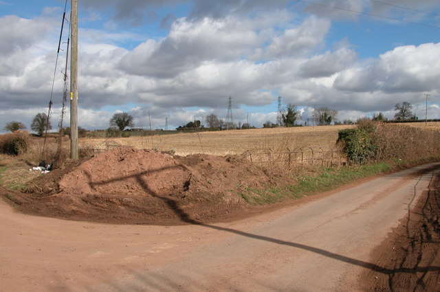
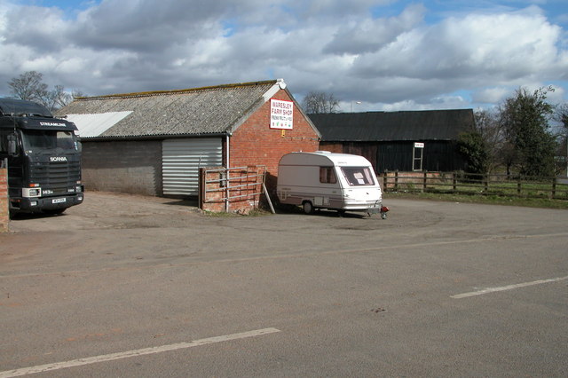
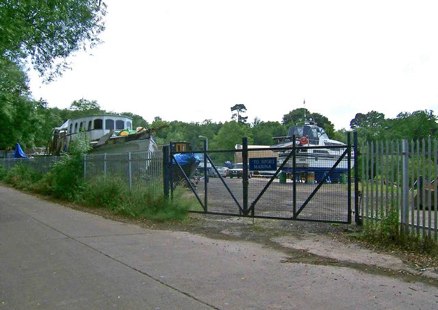
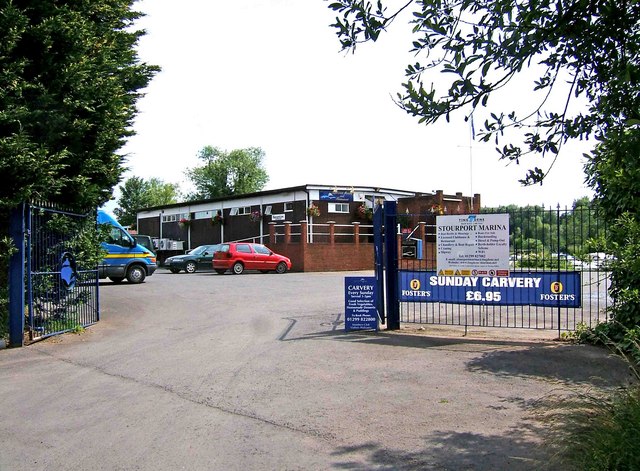
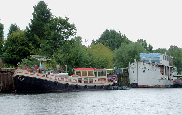
Images are sourced within 2km of 52.33769/-2.248011 or Grid Reference SO8371. Thanks to Geograph Open Source API. All images are credited.


Charlton is located at Grid Ref: SO8371 (Lat: 52.33769, Lng: -2.248011)
Administrative County: Worcestershire
District: Wychavon
Police Authority: West Mercia
What 3 Words
///coast.cycles.study. Near Hartlebury, Worcestershire
Nearby Locations
Related Wikis
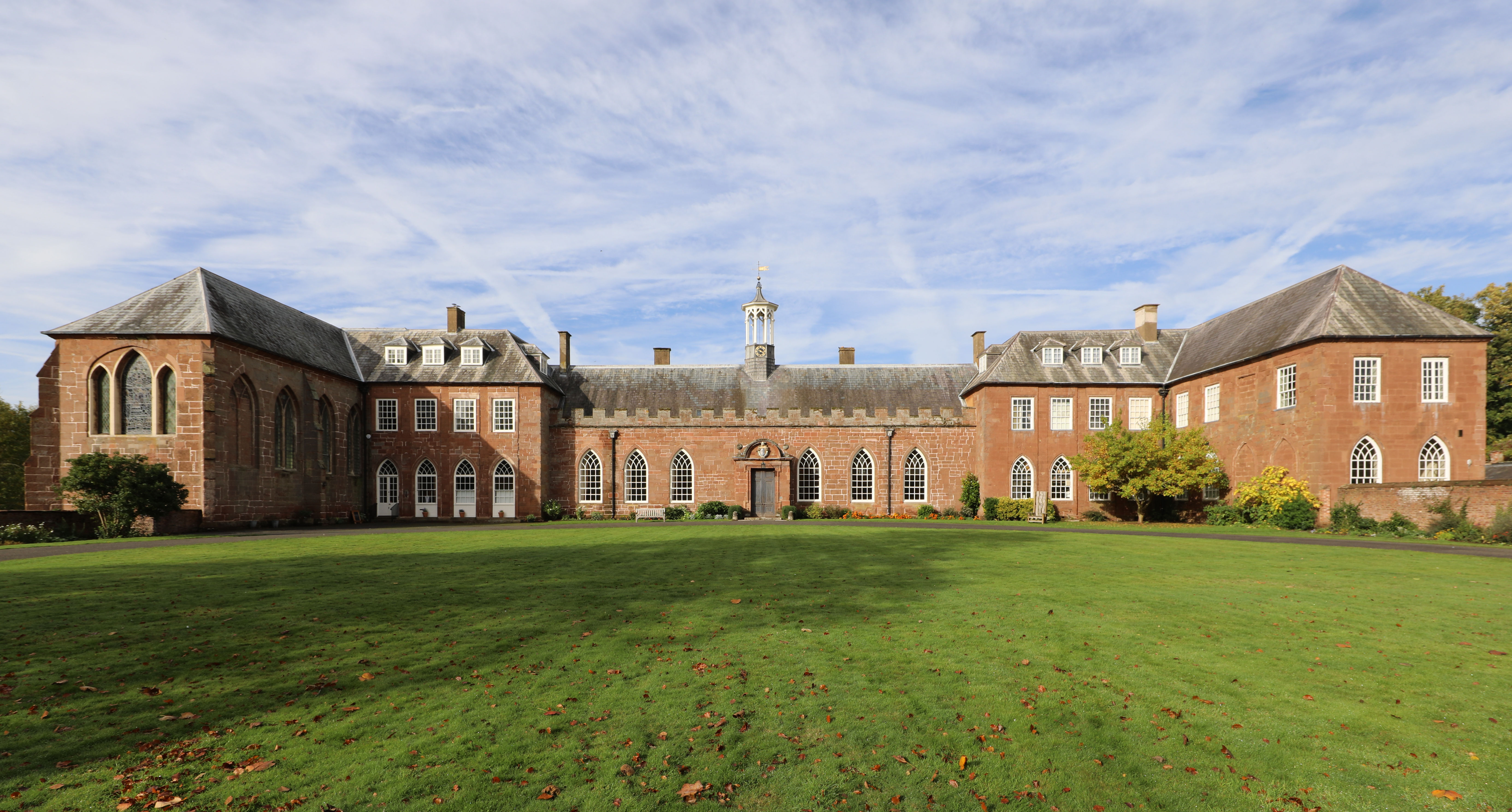
Hartlebury Castle
Hartlebury Castle, a Grade I listed building, near Hartlebury in Worcestershire, central England, was built in the mid-13th century as a fortified manor...
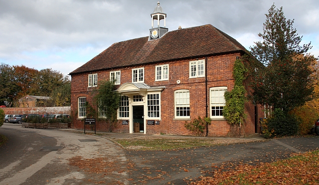
Worcestershire County Museum
Worcestershire County Museum is a local museum located within Hartlebury Castle in Hartlebury, Worcestershire, England, near the City of Worcester. The...

Hartlebury Common
Hartlebury Common is an area of lowland heath in north Worcestershire, England, situated just outside the town of Stourport-on-Severn. Hartlebury Common...
Church of All Saints, Wilden
All Saints Church in Wilden, Worcestershire about one mile to the north east of Stourport. It was designed by William Hopkins with funds provided by Alfred...
Nearby Amenities
Located within 500m of 52.33769,-2.248011Have you been to Charlton?
Leave your review of Charlton below (or comments, questions and feedback).