Beechtree Belt

Wood, Forest in Aberdeenshire

Scotland

Beechtree Belt

Old milestone The milestone on the A947 at Milton, 12 miles from Aberdeen, has now been dug out and straightened.  Measured on a fallen stone elsewhere in Aberdeenshire, this style of granite pillar is known to be a least 100cm from its rough squared base to the rounded top.
Old milestone Credit: Chris McBrien

Beechtree Belt, located in Aberdeenshire, Scotland, is a picturesque woodland area known for its dense population of beech trees. This forest is situated in the northeastern part of the country and covers a significant area of land, providing a haven for both wildlife and nature enthusiasts alike.

The beech trees, which give the belt its name, dominate the landscape with their tall and majestic presence. They form a dense canopy, creating a cool and shaded environment beneath. The trees' smooth bark and vibrant green leaves offer a striking contrast against the clear blue sky, particularly during the spring and summer months when the forest is at its most vibrant.

Within Beechtree Belt, a diverse range of flora and fauna can be found. The forest floor is carpeted with a rich assortment of wildflowers, creating a burst of color amidst the sea of green. Various species of ferns, mosses, and lichens also thrive in this woodland habitat.

The forest is home to an array of wildlife, including deer, foxes, badgers, and a plethora of bird species. Visitors may catch glimpses of these animals as they explore the network of walking trails that wind through the forest. The tranquility of the woodland, interrupted only by the sounds of rustling leaves and birdsong, offers a peaceful retreat for those seeking solace in nature.

Beechtree Belt is a popular destination for hikers, nature photographers, and those simply looking to immerse themselves in the beauty of Scotland's natural landscapes. With its breathtaking scenery and diverse ecosystem, this forest is a true gem in the Aberdeenshire region.

If you have any feedback on the listing, please let us know in the comments section below.

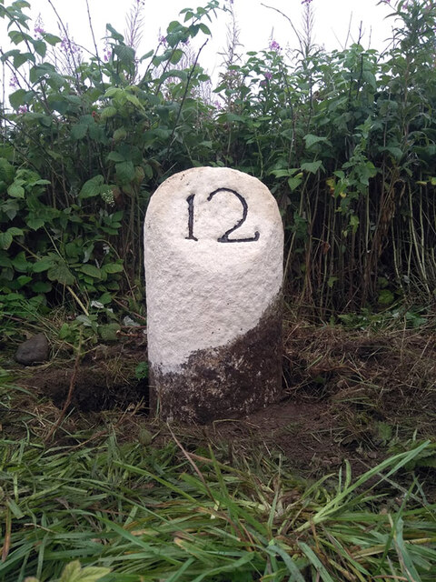
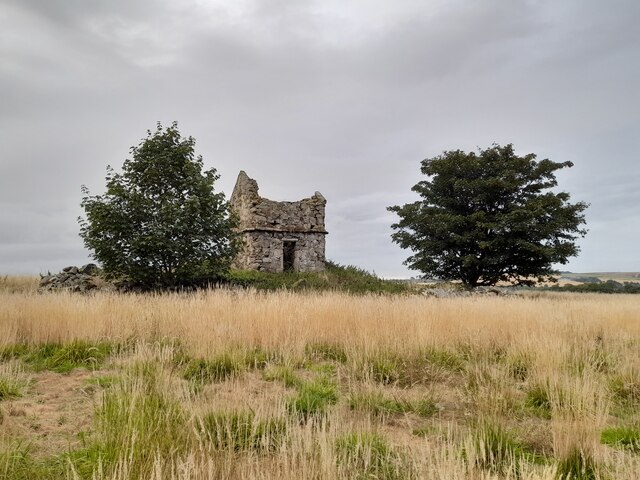
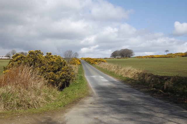
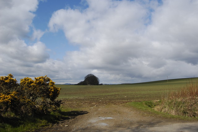
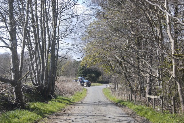
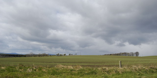
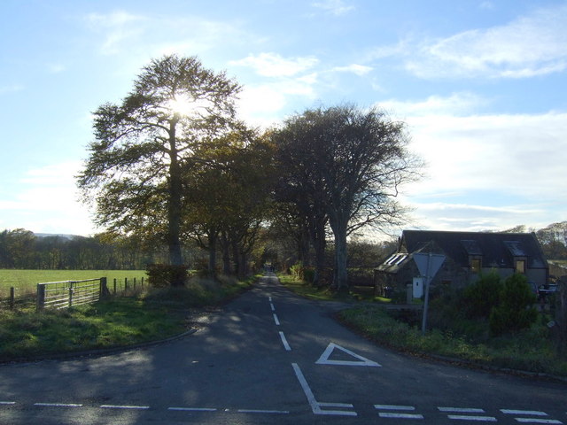
Beechtree Belt Images

Images are sourced within 2km of 57.283768/-2.2172961 or Grid Reference NJ8621. Thanks to Geograph Open Source API. All images are credited.

Old milestone The milestone on the A947 at Milton, 12 miles from Aberdeen, has now been dug out and straightened.  Measured on a fallen stone elsewhere in Aberdeenshire, this style of granite pillar is known to be a least 100cm from its rough squared base to the rounded top.
Old milestone
The milestone on the A947 at Milton, 12 miles from Aberdeen, has now been dug out and straightened. Measured on a fallen stone elsewhere in Aberdeenshire, this style of granite pillar is known to be a least 100cm from its rough squared base to the rounded top.
Old Stone Doocot (Dovecote) in a Field by Disblair House, near Newmachar, Aberdeenshire Now ruined and standing alone in a field.
Old Stone Doocot (Dovecote) in a Field by Disblair House, near Newmachar, Aberdeenshire
Now ruined and standing alone in a field.
Up the hill A typical single-track road with gorse bushes beside.   The fields are just sprouting oats (I think).
Up the hill
A typical single-track road with gorse bushes beside. The fields are just sprouting oats (I think).
Sprouting fields Part of Changehill Farm
Sprouting fields
Part of Changehill Farm
A tight squeeze A tractor turns off the A947 onto the single-track road on its way to one of the numerous local farms.
A tight squeeze
A tractor turns off the A947 onto the single-track road on its way to one of the numerous local farms.
Single-track road Whitlam Farm is in the distance.  On either side of the road are huge numbers of tiny (and growing) Christmas trees.
Single-track road
Whitlam Farm is in the distance. On either side of the road are huge numbers of tiny (and growing) Christmas trees.
Christmas trees Part of an enormous plantation of Christmas trees, although in 2012 they must still have a few years' growing before they serve their duty...   Tillygreig cottages are visible on the left-hand side
Christmas trees
Part of an enormous plantation of Christmas trees, although in 2012 they must still have a few years' growing before they serve their duty... Tillygreig cottages are visible on the left-hand side
Open fields Part of a huge field attached to Changehill Farm, with oats sprouting.  In the distance on the left is the peak of Bennachie, some 20 km away.
Open fields
Part of a huge field attached to Changehill Farm, with oats sprouting. In the distance on the left is the peak of Bennachie, some 20 km away.
Power lines Taken from a layby just north of Newmachar
Power lines
Taken from a layby just north of Newmachar
Copse by the A947 with storm brewing
Farmland and woodland, Meddens
A947 heading south  Towards Aberdeen.
A947 heading south
Towards Aberdeen.
Grazing off the A947
Overton Farm
Overton Farm
A947 towards Aberdeen Heading south east.
A947 towards Aberdeen
Heading south east.
Waterlogged farmland near Milton
A947 towards Aberdeen
Country road off the A947, Milton
Show me another place!

Beechtree Belt is located at Grid Ref: NJ8621 (Lat: 57.283768, Lng: -2.2172961)

Unitary Authority: Aberdeenshire

Police Authority: North East

What 3 Words

///supposes.directive.snappy. Near Newmacher, Aberdeenshire

Related Wikis

Straloch House

Straloch House is a mansion house in the parish of New Macher, Aberdeenshire, Scotland. The mansion house stands on the site of the former castle of Straloch...

Newmachar United F.C.

Newmachar United Junior Football Club are a Scottish football club from the village of Newmachar, Aberdeenshire. They became members of the Scottish Junior...

Cairnton stone

The Cairnton Stone is a class I Pictish stone that was discovered at Cairnton, near Newmachar, Aberdeenshire, Scotland in 2001. The stone bears the incised...

Newmachar railway station

Newmachar railway station was a railway station in Newmachar, Aberdeenshire which is now closed. == History == The station was opened on 18 July 1861 by...

Nearby Amenities

Located within 500m of 57.283768,-2.2172961
Newton of Straloch
Place: isolated_dwelling
Lat/Long: 57.2828161/-2.2188614
Bus Stop
Bus: yes
Public Transport: platform
Lat/Long: 57.2873953/-2.2182382
Material: wood
Power: pole
Lat/Long: 57.2832086/-2.2180466
Material: wood
Power: pole
Lat/Long: 57.282883/-2.2170537
Material: wood
Power: pole
Lat/Long: 57.2825721/-2.2160756
Material: wood
Power: pole
Lat/Long: 57.2822726/-2.2150996
Material: wood
Power: pole
Lat/Long: 57.2827899/-2.2133133
Material: wood
Power: pole
Lat/Long: 57.2821955/-2.2126521
Material: wood
Power: pole
Lat/Long: 57.2816282/-2.2119993
Material: wood
Power: pole
Lat/Long: 57.2810666/-2.211334
Material: wood
Power: pole
Lat/Long: 57.2829346/-2.209405
Material: wood
Power: pole
Lat/Long: 57.282272/-2.210232
Material: wood
Power: pole
Lat/Long: 57.2816991/-2.210933
Power: pole
Lat/Long: 57.2876617/-2.2143061
Power: pole
Lat/Long: 57.2877071/-2.2156831
Power: pole
Lat/Long: 57.2877661/-2.2170852
Material: wood
Power: pole
Lat/Long: 57.2878262/-2.2184685
The data included in this document is from www.openstreetmap.org. The data is made available under ODbL.

Have you been to Beechtree Belt?

Leave your review of Beechtree Belt below (or comments, questions and feedback).