Ash-how Wood
Wood, Forest in Aberdeenshire
Scotland
Ash-how Wood
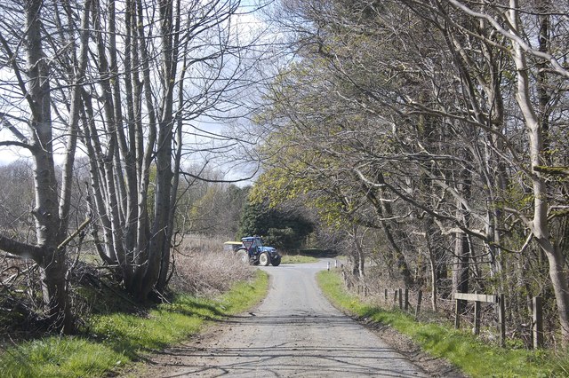
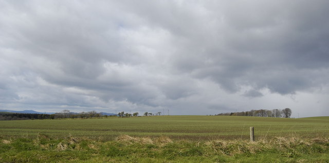
Ash-how Wood is a small forest located in Aberdeenshire, Scotland. Covering an area of approximately 500 acres, it is known for its diverse range of tree species and beautiful natural scenery. The wood is situated in a predominantly rural area, surrounded by rolling hills and farmland.
The forest is primarily made up of ash trees, from which it derives its name. These majestic trees create a dense canopy, providing shade and shelter for a variety of wildlife. The wood is home to numerous species of birds, including woodpeckers, owls, and various songbirds. It also serves as a habitat for small mammals such as squirrels and hedgehogs.
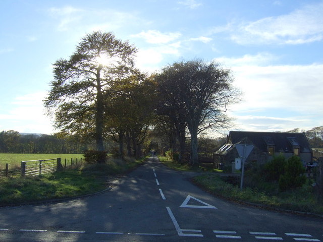
Ash-how Wood is a popular destination for nature enthusiasts and hikers. It offers a network of well-maintained trails, allowing visitors to explore the forest and enjoy its tranquility. The paths wind through the woods, offering glimpses of wildflowers, moss-covered rocks, and babbling streams. In the spring, the forest comes alive with vibrant colors as bluebells carpet the forest floor.
The wood is managed by a local conservation organization, which ensures the preservation of its natural beauty and biodiversity. They organize educational programs and guided tours for schools and the general public, promoting awareness and appreciation for the woodland ecosystem.
Overall, Ash-how Wood is a picturesque and ecologically significant forest, attracting visitors with its lush vegetation, diverse wildlife, and serene environment. It is a haven for nature lovers seeking a peaceful retreat in the heart of Aberdeenshire.
If you have any feedback on the listing, please let us know in the comments section below.
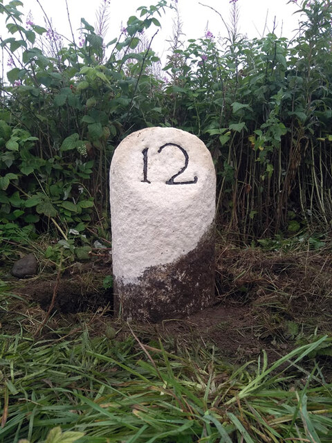
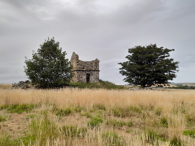
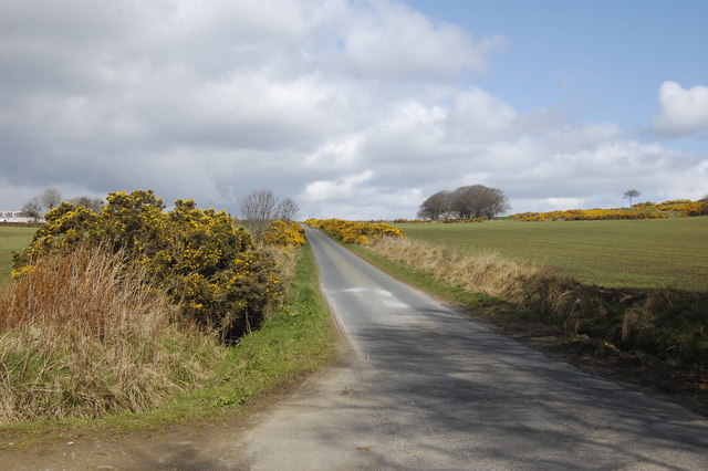
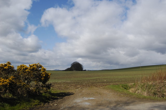
Ash-how Wood Images
Images are sourced within 2km of 57.282097/-2.2225111 or Grid Reference NJ8621. Thanks to Geograph Open Source API. All images are credited.


Ash-how Wood is located at Grid Ref: NJ8621 (Lat: 57.282097, Lng: -2.2225111)
Unitary Authority: Aberdeenshire
Police Authority: North East
What 3 Words
///urge.frosted.horseshoe. Near Newmacher, Aberdeenshire
Nearby Locations
Related Wikis

Straloch House
Straloch House is a mansion house in the parish of New Macher, Aberdeenshire, Scotland. The mansion house stands on the site of the former castle of Straloch...
Cairnton stone
The Cairnton Stone is a class I Pictish stone that was discovered at Cairnton, near Newmachar, Aberdeenshire, Scotland in 2001. The stone bears the incised...
Newmachar United F.C.
Newmachar United Junior Football Club are a Scottish football club from the village of Newmachar, Aberdeenshire. They became members of the Scottish Junior...

Newmachar
Newmachar is a village in Aberdeenshire, Scotland, about 10 miles (16 km) to the north-west of Aberdeen. The settlement has a long history previously being...

Newmachar railway station
Newmachar railway station was a railway station in Newmachar, Aberdeenshire which is now closed. == History == The station was opened on 18 July 1861 by...
Whiterashes
Whiterashes is a hamlet in the Formartine area of Aberdeenshire, Scotland, lying to the north-west of Newmachar and 3 miles (4.8 km) south-east of Oldmeldrum...

Kingseat Hospital, Aberdeenshire
Kingseat Hospital is a former mental health facility near Newmachar in Aberdeenshire, Scotland. Some of the old hospital buildings now form the central...
Kingseat, Aberdeenshire
Kingseat is a village in Aberdeenshire, Scotland about 10 miles (16 km) to the north-west of Aberdeen and 1 mile (1.6 km) east of Newmachar. == History... ==
Nearby Amenities
Located within 500m of 57.282097,-2.2225111Have you been to Ash-how Wood?
Leave your review of Ash-how Wood below (or comments, questions and feedback).