Fawcett Wood
Wood, Forest in Berwickshire
Scotland
Fawcett Wood

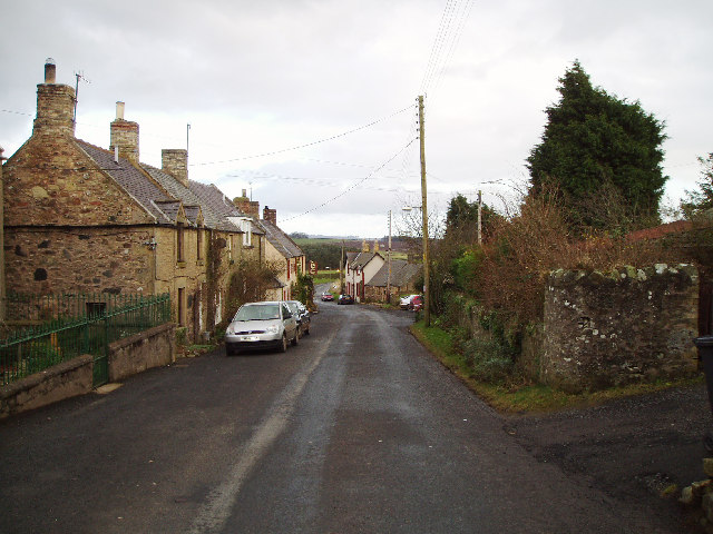
Fawcett Wood is a picturesque forest located in the county of Berwickshire, Scotland. Covering an area of approximately 100 acres, it is known for its diverse range of flora and fauna, making it a popular destination for nature enthusiasts and hikers alike.
This woodland is characterized by its dense canopy of trees, which primarily consists of native species such as oak, beech, and birch. The trees create a tranquil and serene atmosphere, providing a habitat for a variety of wildlife including red squirrels, roe deer, and a wide array of bird species.
The forest features well-maintained paths and trails, allowing visitors to explore the beauty of the wood at their own pace. The trails wind through the forest, offering scenic views of the surrounding countryside and the opportunity to spot wildflowers and fungi along the way.
One of the standout features of Fawcett Wood is its ancient trees, some of which are hundreds of years old. These majestic giants add a sense of history and wonder to the woodland, with their gnarled trunks and towering heights.
Fawcett Wood is not only a haven for nature enthusiasts but also a valuable resource for researchers and scientists studying woodland ecology. The forest provides a unique opportunity for studying the interplay between different plant and animal species, as well as the impact of human activities on the ecosystem.
In conclusion, Fawcett Wood is a stunning forest in Berwickshire, Scotland, offering a rich diversity of plant and animal life. Its well-maintained trails and ancient trees make it an ideal destination for those seeking a peaceful and immersive woodland experience.
If you have any feedback on the listing, please let us know in the comments section below.
Fawcett Wood Images
Images are sourced within 2km of 55.858566/-2.3026084 or Grid Reference NT8162. Thanks to Geograph Open Source API. All images are credited.


Fawcett Wood is located at Grid Ref: NT8162 (Lat: 55.858566, Lng: -2.3026084)
Unitary Authority: The Scottish Borders
Police Authority: The Lothians and Scottish Borders
What 3 Words
///veered.outbursts.grass. Near Chirnside, Scottish Borders
Nearby Locations
Related Wikis

Grantshouse railway station
Grantshouse railway station served the village of Grantshouse, Berwickshire, Scotland from 1846 to 1964 on the East Coast Main Line. == History == The...

Grantshouse
Grantshouse is a small village in Berwickshire in the Scottish Borders of Scotland. It lies on the A1, and its nearest railway stations are Dunbar to the...

Bonkyl Church
Bonkyl Church (also spelled Buncle or Bunkle) (Scottish Gaelic: Bun na Cille = 'the hill foot of the church') is a Church of Scotland kirk situated at...
Auchencrow
Auchencrow (Scottish Gaelic: Allt na Crà) is a small village in the Scottish Borders area of Scotland, by the Lammermuir range of hills, and near Reston...
Penmanshiel Tunnel
Penmanshiel Tunnel is a now-disused railway tunnel near Grantshouse, Berwickshire, in the Scottish Borders region of Scotland. It was formerly part of...

Billie Castle
Billie Castle is a ruined 15th century quadrangular castle, 3 miles (4.8 km) north west of Chirnside, Scottish Borders, Scotland, north of Billiemains...

Abbey St Bathans
Abbey St Bathans (Scottish Gaelic: Abaid Bhaoithin) is a parish in the Lammermuir district of Berwickshire, in the eastern part of the Scottish Borders...
Cockburn Tower
Cockburn Tower was a small fortified house in Berwickshire, Scotland. Now little more than the outline of a foundation, it occupied a site on the southern...
Nearby Amenities
Located within 500m of 55.858566,-2.3026084Have you been to Fawcett Wood?
Leave your review of Fawcett Wood below (or comments, questions and feedback).