Hare Strip

Wood, Forest in Berwickshire

Scotland

Hare Strip

Looking over the valley of the Drakemire Burn Or it could be the Eye Water - hereabouts one becomes the other. A landscape of mixed farming and shelterbelts. The A6112 runs in the valley.
Looking over the valley of the Drakemire Burn Credit: M J Richardson

The requested URL returned error: 429 Too Many Requests

If you have any feedback on the listing, please let us know in the comments section below.
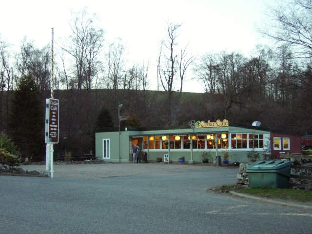
Hare Strip Images

Images are sourced within 2km of 55.86983/-2.3036708 or Grid Reference NT8164. Thanks to Geograph Open Source API. All images are credited.

Looking over the valley of the Drakemire Burn Or it could be the Eye Water - hereabouts one becomes the other. A landscape of mixed farming and shelterbelts. The A6112 runs in the valley.
Looking over the valley of the Drakemire Burn
Or it could be the Eye Water - hereabouts one becomes the other. A landscape of mixed farming and shelterbelts. The A6112 runs in the valley.
Farm track to Rough Head Plantation Which looks as if it suffered under Storm Arwen.
Farm track to Rough Head Plantation
Which looks as if it suffered under Storm Arwen.
Barley field near Drakemire With Rough Head Plantation beyond.
Barley field near Drakemire
With Rough Head Plantation beyond.
Farm cottages at Butterdean The gable-end view of a group of eight.
Farm cottages at Butterdean
The gable-end view of a group of eight.
Farm cottages at Butterdean One group of four in a terrace.
Farm cottages at Butterdean
One group of four in a terrace.
Pasture at Butterdean With trees at the edge.
Pasture at Butterdean
With trees at the edge.
Sheep at Butterdean Gathered in - not sure why?
Sheep at Butterdean
Gathered in - not sure why?
Grass field near Butterdean Looking west to wind turbines at Quixwood
Grass field near Butterdean
Looking west to wind turbines at Quixwood
Track near Butterdean With a young shelter belt on the left and a more mature, storm-damaged one on the right.
Track near Butterdean
With a young shelter belt on the left and a more mature, storm-damaged one on the right.
Field entrance and shelterbelt Surprisingly muddy, given the recent weather.
Field entrance and shelterbelt
Surprisingly muddy, given the recent weather.
Track giving access to cottages at Butterdean Looking northward.
Track giving access to cottages at Butterdean
Looking northward.
Harvested field near to Butterdean Looking south-westward.
Harvested field near to Butterdean
Looking south-westward.
Pastureland near to Quixwood Looking south-eastward towards Roundel Wood.
Pastureland near to Quixwood
Looking south-eastward towards Roundel Wood.
Flock of sheep, Butterdean Part of a large flock of sheep of mixed breeds grazing in a stone wall bound field.
Flock of sheep, Butterdean
Part of a large flock of sheep of mixed breeds grazing in a stone wall bound field.
Rutted track near Butterdean The track from the minor road eventually reaches the A6112 and along its edges are a number of game feeders,
Rutted track near Butterdean
The track from the minor road eventually reaches the A6112 and along its edges are a number of game feeders,
Track near Butterdean The farm track heads towards Roadside Woods and Winterfield Woods.
Track near Butterdean
The farm track heads towards Roadside Woods and Winterfield Woods.
Kale, Butterdean Winter fodder for sheep.
Kale, Butterdean
Winter fodder for sheep.
Cedar Cafe. Cafe popular with truckers. Situated at the foot of the Howpark Road, on an old cut off loop of the A1.
Cedar Cafe.
Cafe popular with truckers. Situated at the foot of the Howpark Road, on an old cut off loop of the A1.
Show me another place!

Hare Strip is located at Grid Ref: NT8164 (Lat: 55.86983, Lng: -2.3036708)

Unitary Authority: The Scottish Borders

Police Authority: The Lothians and Scottish Borders

What 3 Words

///dean.dugouts.humid. Near Chirnside, Scottish Borders

Nearby Locations

Hare Strip

Related Wikis

Grantshouse railway station

Grantshouse railway station served the village of Grantshouse, Berwickshire, Scotland from 1846 to 1964 on the East Coast Main Line. == History == The...

Grantshouse

Grantshouse is a small village in Berwickshire in the Scottish Borders of Scotland. It lies on the A1, and its nearest railway stations are Dunbar to the...

Penmanshiel Tunnel

Penmanshiel Tunnel is a now-disused railway tunnel near Grantshouse, Berwickshire, in the Scottish Borders region of Scotland. It was formerly part of...

Bonkyl Church

Bonkyl Church (also spelled Buncle or Bunkle) (Scottish Gaelic: Bun na Cille = 'the hill foot of the church') is a Church of Scotland kirk situated at...

Nearby Amenities

Located within 500m of 55.86983,-2.3036708
Power: pole
Lat/Long: 55.8664765/-2.2997825
Power: pole
Lat/Long: 55.8665139/-2.3006403
Power: pole
Lat/Long: 55.8666273/-2.301928
Power: pole
Lat/Long: 55.8667528/-2.3031813
Power: pole
Lat/Long: 55.8668734/-2.3044411
Power: pole
Lat/Long: 55.866988/-2.3056988
Power: pole
Lat/Long: 55.867111/-2.307008
Power: pole
Lat/Long: 55.8672269/-2.3082291
The data included in this document is from www.openstreetmap.org. The data is made available under ODbL.

Have you been to Hare Strip?

Leave your review of Hare Strip below (or comments, questions and feedback).