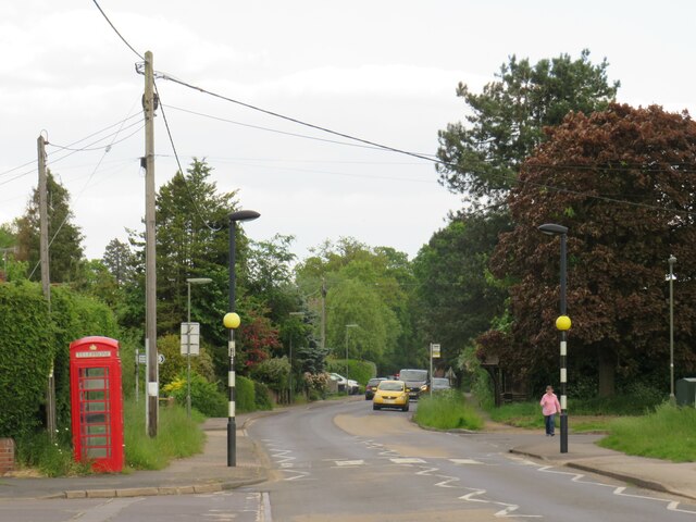
Charleshill
Settlement in Surrey Waverley
England
Charleshill
Charleshill is a small village located in the county of Surrey, in the southeastern region of England. Situated in the picturesque countryside, it is surrounded by rolling hills and lush green fields, offering residents and visitors a tranquil and idyllic setting.
The village is characterized by its charming and quaint atmosphere, with traditional cottages lining the streets and a sense of community prevalent among its residents. The population of Charleshill is relatively small, with just over 500 inhabitants, which contributes to its close-knit and friendly ambiance.
Despite its small size, Charleshill offers a range of amenities and services to cater to the needs of its residents. The village boasts a local pub, where locals and visitors can enjoy traditional British cuisine and socialize. Additionally, a small convenience store provides daily essentials, while a primary school ensures that children in the area have access to quality education.
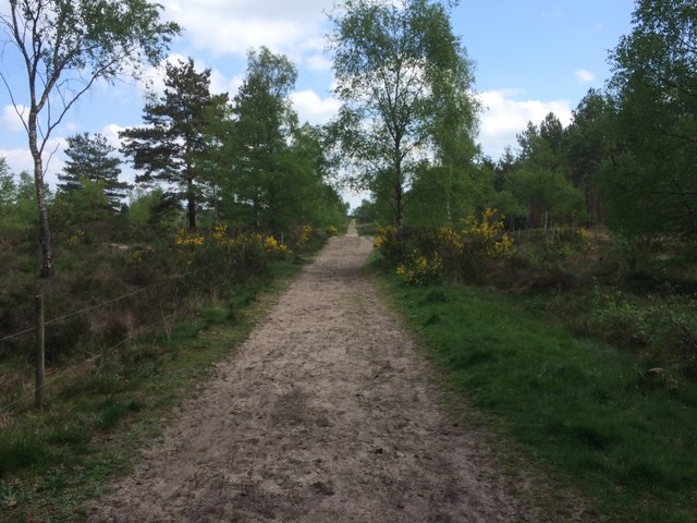
Surrounded by natural beauty, Charleshill is an ideal location for outdoor enthusiasts. The village is in close proximity to several walking trails and scenic spots, allowing residents to explore the countryside and enjoy activities such as hiking, cycling, and picnicking.
For those seeking a peaceful and rural lifestyle, Charleshill offers the perfect retreat. Its picturesque setting, friendly community, and access to nature make it an attractive place to live or visit in the heart of Surrey.
If you have any feedback on the listing, please let us know in the comments section below.
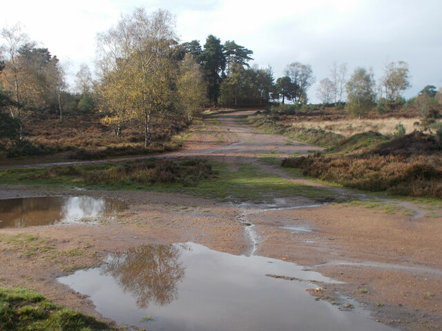
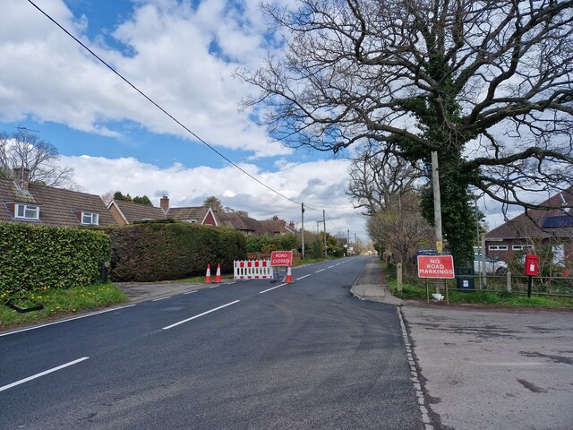
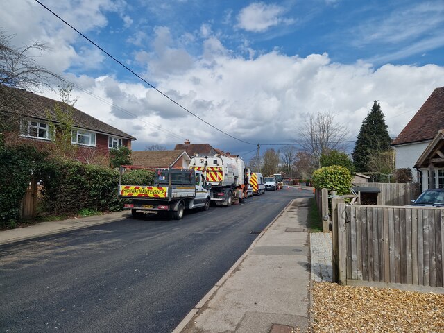
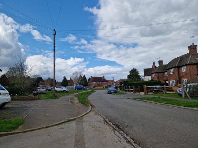
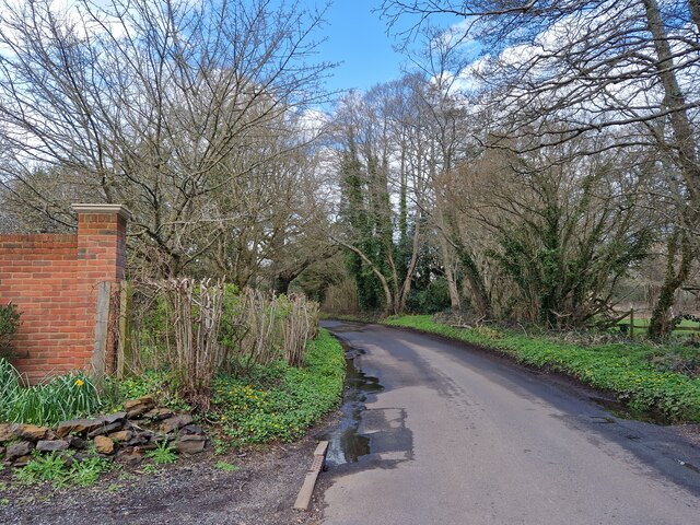
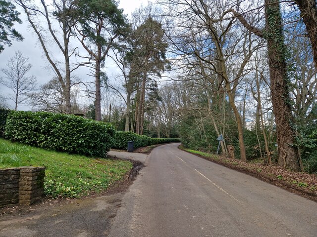
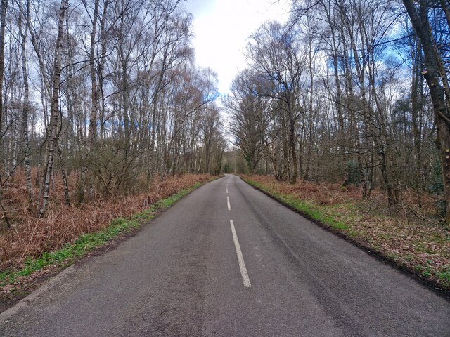
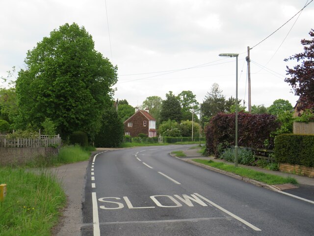
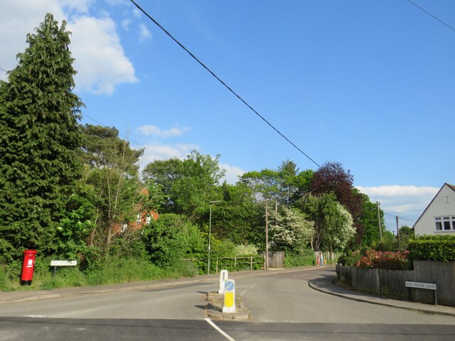
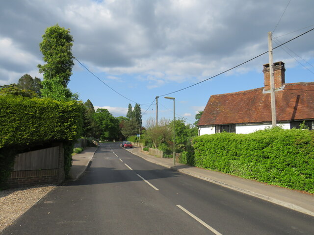
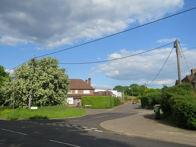
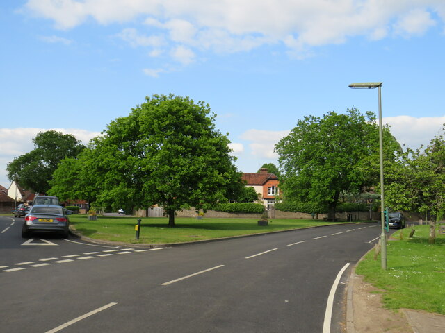
Charleshill Images
Images are sourced within 2km of 51.191614/-0.7232 or Grid Reference SU8944. Thanks to Geograph Open Source API. All images are credited.


Charleshill is located at Grid Ref: SU8944 (Lat: 51.191614, Lng: -0.7232)
Administrative County: Surrey
District: Waverley
Police Authority: Surrey
What 3 Words
///obstinate.december.huddled. Near Elstead, Surrey
Nearby Locations
Related Wikis

Thundry Meadows
Thundry Meadows is a 16-hectare (40-acre) nature reserve in Elstead in Surrey. It is managed by the Surrey Wildlife Trust. Part of it is Charleshill Site...

Charleshill SSSI
Charleshill SSSI is a 10.1-hectare (25-acre) biological Site of Special Scientific Interest west of Elstead in Surrey. It is part of Thundry Meadows nature...

Hankley Farm
Hankley Farm is a 2.4-hectare (5.9-acre) biological Site of Special Scientific Interest (SSSI) west of Elstead in Surrey.This sandy arable field has been...

Mubarak Mosque, Tilford
The Mubarak Mosque (English: The Blessed Mosque) is a mosque in Tilford, Surrey, England. It currently serves as the mosque on the site of the international...

Elstead
Elstead is a civil parish in Surrey, England with shops, houses and cottages spanning the north and south sides of the River Wey; development is concentrated...

Tilford
Tilford is a village and civil parish centred at the point where the two branches of the River Wey merge in Surrey, England, 3 miles (4.8 km) south-east...
Islamabad, Tilford
Islamabad, in the village of Tilford, Surrey, England, is an estate which serves as the headquarters of the Ahmadiyya Muslim Community. Islamabad is 10...
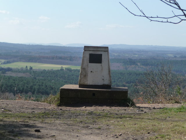
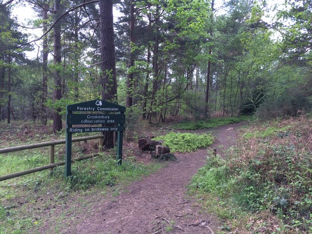
Crooksbury Hill
Crooksbury Hill is a 17.2-hectare (43-acre) nature reserve within Puttenham and Crooksbury Commons east of Farnham in Surrey. It is owned by Surrey County...
Nearby Amenities
Located within 500m of 51.191614,-0.7232Have you been to Charleshill?
Leave your review of Charleshill below (or comments, questions and feedback).