Charlesfield
Settlement in Roxburghshire
Scotland
Charlesfield
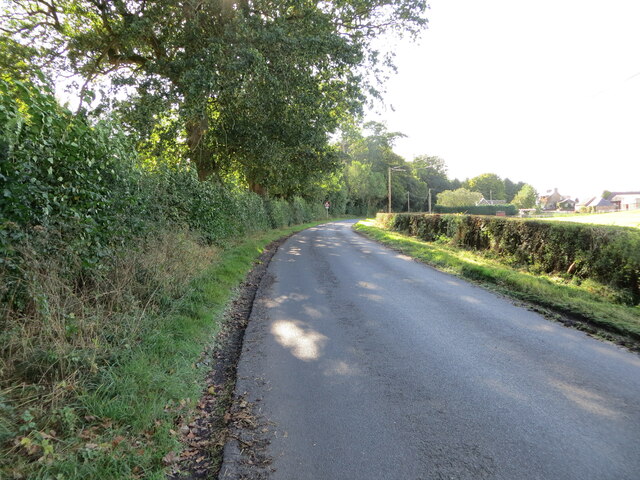
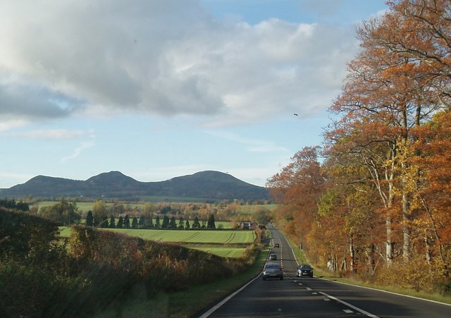
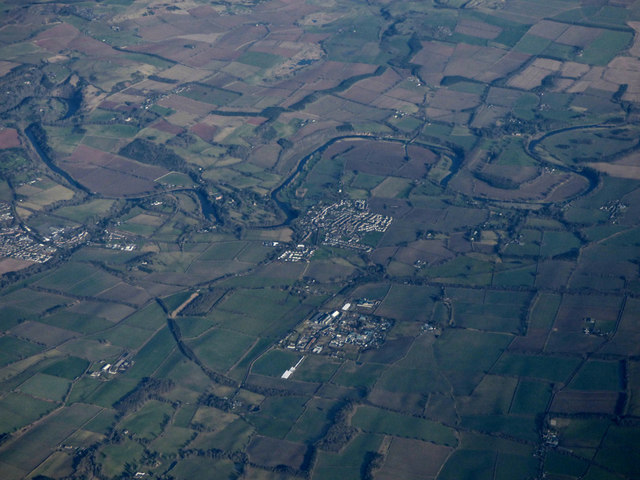
Charlesfield is a small village located in Roxburghshire, a historic county in the Scottish Borders region of Scotland. Situated just off the A68 road, Charlesfield is about 3 miles south of the town of Galashiels and approximately 35 miles southeast of Edinburgh.
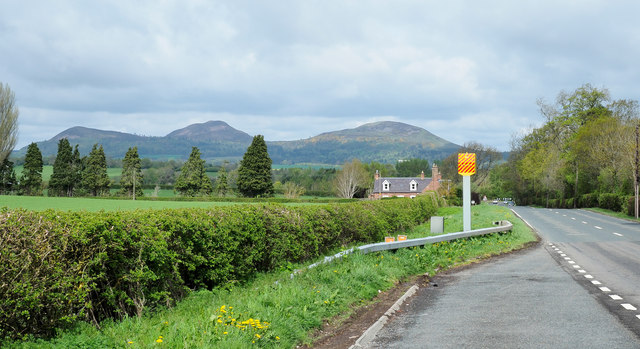
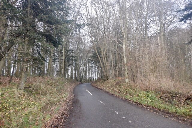
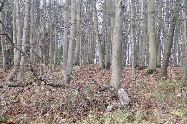
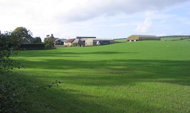
The village is primarily residential, with a population of around 500 residents. It is known for its picturesque setting, nestled amidst rolling hills and surrounded by lush green fields. The landscape offers stunning views of the Scottish countryside, attracting visitors and nature enthusiasts alike.
Despite its small size, Charlesfield has a strong sense of community. The village features a community center that serves as a hub for various activities and events. The center hosts regular social gatherings, clubs, and classes, fostering a close-knit and inclusive atmosphere.
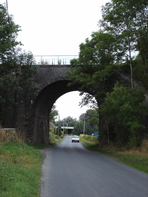
Charlesfield is well-connected to nearby towns and cities, making it an ideal location for commuters. Galashiels, with its extensive amenities including shops, supermarkets, schools, and healthcare facilities, is just a short drive away. The village also benefits from good transportation links, with regular bus services connecting it to the surrounding areas.
For those seeking recreational activities, the nearby River Tweed offers opportunities for fishing, kayaking, and scenic walks along its banks. The surrounding countryside is also dotted with hiking trails, providing ample opportunities for outdoor enthusiasts to explore and enjoy the natural beauty of the region.
In summary, Charlesfield is a charming village in Roxburghshire, Scotland, known for its peaceful and scenic setting, strong community spirit, and convenient access to nearby towns and recreational activities.
If you have any feedback on the listing, please let us know in the comments section below.
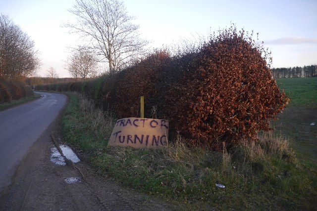
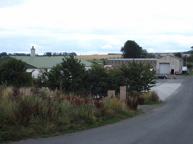
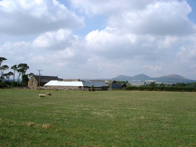
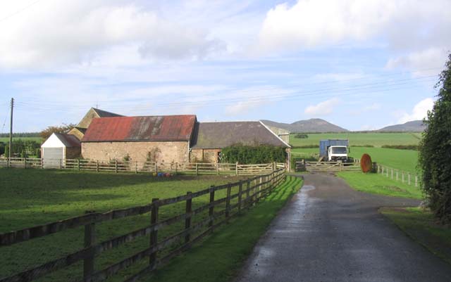
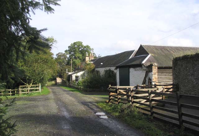
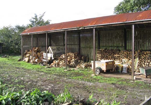
Charlesfield Images
Images are sourced within 2km of 55.55883/-2.6645653 or Grid Reference NT5829. Thanks to Geograph Open Source API. All images are credited.
Charlesfield is located at Grid Ref: NT5829 (Lat: 55.55883, Lng: -2.6645653)
Unitary Authority: The Scottish Borders
Police Authority: The Lothians and Scottish Borders
What 3 Words
///shortage.movements.gearing. Near Saint Boswells, Scottish Borders
Nearby Locations
Related Wikis

Charlesfield Halt railway station
Charlesfield Halt railway station served the village of Charlesfield, Melrose, Scotland, from 1942 to 1961 on the Waverley Route. == History == The station...

St Boswells
St Boswells (Scots: Bosels / Bosells; Scottish Gaelic: Cille Bhoisil [ˈçiʎəˈvɔʃɪl]) is a village on the south side of the River Tweed in the Scottish Borders...

Greycrook
Greycrook is a village off the A68 and the A699 in the Scottish Borders, approximately 500 m (550 yd) south-east of St Boswells, and close to Dryburgh...

Newtown St Boswells
Newtown St Boswells (Scots: Newtoon; Scottish Gaelic: Baile Ùr Bhoisil [ˈpaləˈuːɾˈvɔʃɪl]) is a village in the Scottish Borders council area, in south-east...
Nearby Amenities
Located within 500m of 55.55883,-2.6645653Have you been to Charlesfield?
Leave your review of Charlesfield below (or comments, questions and feedback).