Sunnyside Wood

Wood, Forest in Kincardineshire

Scotland

Sunnyside Wood

Gennell Farm Looking down on Gennell from the track on the edge of Durris Forest.
Gennell Farm Credit: Scott Cormie

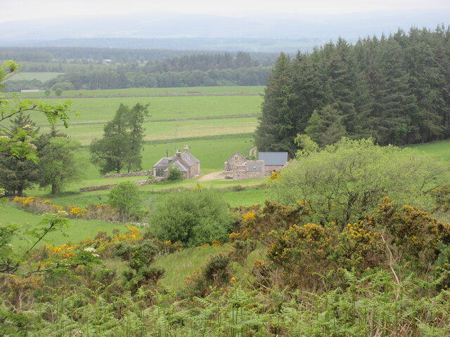
Sunnyside Wood is a picturesque forest located in Kincardineshire, Scotland. Spanning over a vast area, it is known for its stunning natural beauty and diverse wildlife. The wood is situated on the outskirts of a small village, providing a tranquil and serene environment for visitors.

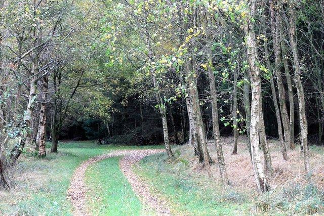
The wood is primarily composed of native tree species, including oak, birch, and pine. The dense foliage creates a lush canopy, allowing little sunlight to penetrate to the forest floor. This results in a cool and shaded atmosphere, perfect for leisurely walks and exploration.

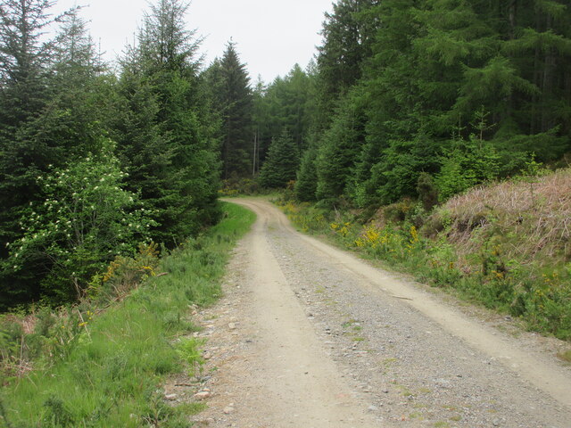
The forest is crisscrossed with well-maintained walking trails, which wind through the wood, offering breathtaking views of the surrounding landscape. These paths cater to both casual strollers and avid hikers, with options for short walks or longer hikes. The trails are marked with informative signposts, providing interesting facts about the area's flora and fauna.

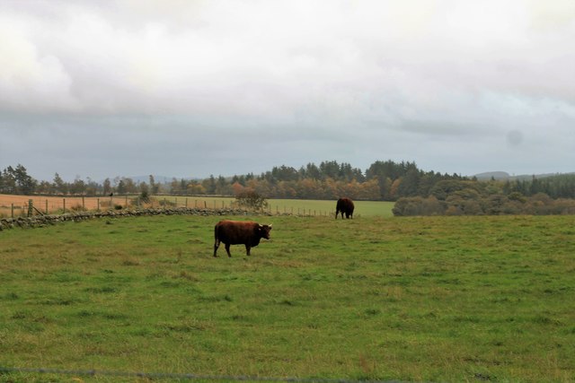
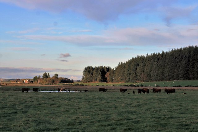
Sunnyside Wood is home to a diverse range of wildlife, including various bird species, red squirrels, and deer. Birdwatchers will be delighted by the opportunity to spot rare and migratory birds nesting within the forest. Furthermore, the wood offers ample opportunities for nature photography, with its stunning vistas and abundant wildlife.

Visitors can also find picnic spots dotted throughout the wood, allowing them to enjoy a leisurely lunch amidst the peaceful surroundings. Additionally, there are designated areas for camping, providing a unique opportunity to spend a night under the stars in this idyllic forest.

Overall, Sunnyside Wood in Kincardineshire is a hidden gem, offering a tranquil escape from the hustle and bustle of everyday life. Its natural beauty, diverse wildlife, and well-maintained trails make it a perfect destination for nature lovers and outdoor enthusiasts.

If you have any feedback on the listing, please let us know in the comments section below.

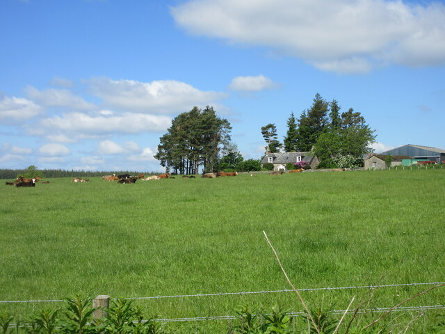
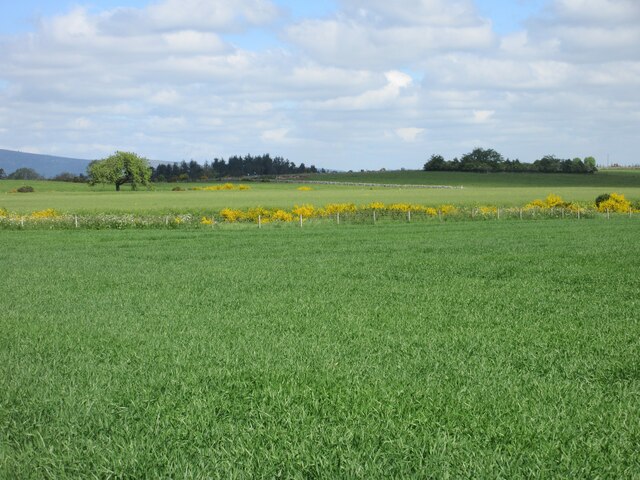
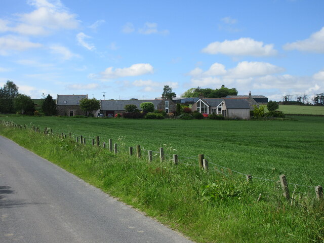
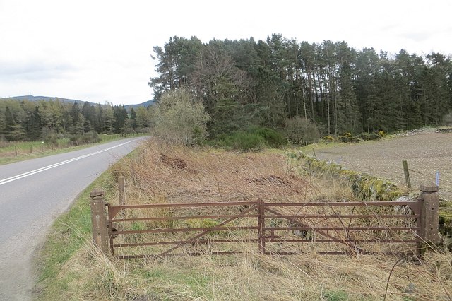
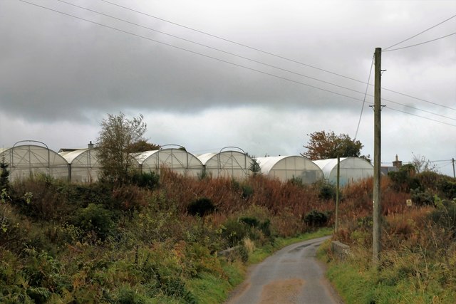
Sunnyside Wood Images

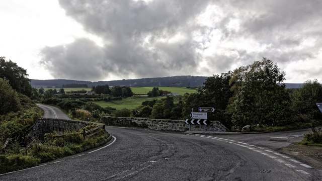
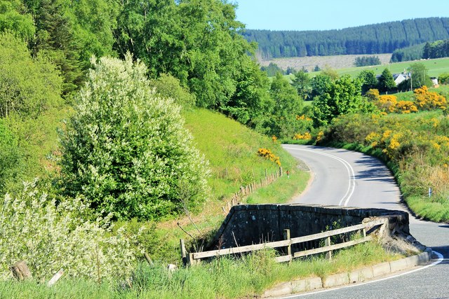
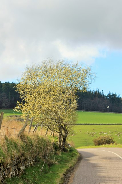
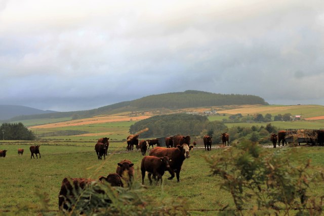
Images are sourced within 2km of 57.038821/-2.3959864 or Grid Reference NO7694. Thanks to Geograph Open Source API. All images are credited.

Gennell Farm Looking down on Gennell from the track on the edge of Durris Forest.
Gennell Farm
Looking down on Gennell from the track on the edge of Durris Forest.
Durris Forest Track Track on the north-western side of Durris Forest near Target Wood.
Durris Forest Track
Track on the north-western side of Durris Forest near Target Wood.
River Dee from Durris Bridge Looking upstream of the River Dee from the A957 Durris Bridge.
River Dee from Durris Bridge
Looking upstream of the River Dee from the A957 Durris Bridge.
Grass cutting near Durris A field being shorn of grass near Funach Wood at Durris.
Grass cutting near Durris
A field being shorn of grass near Funach Wood at Durris.
Cattle at East Funach Resting cattle in a field with East Funach in the background.
Cattle at East Funach
Resting cattle in a field with East Funach in the background.
Fields to the west of Durris Forest Looking north over a field near Inchloan to the west of Durris Forest.
Fields to the west of Durris Forest
Looking north over a field near Inchloan to the west of Durris Forest.
Inchloan from the north-east Looking south-west from the roadside to Inchloan.
Inchloan from the north-east
Looking south-west from the roadside to Inchloan.
Overgrown gate Woodland access off the A957.
Overgrown gate
Woodland access off the A957.
Junction on the A957 at Blairydryne
Blairydryne Bridge A tight turn on the Slug Road to Stonehaven, it looks innocuous in summer but can be tricky in winter.
Blairydryne Bridge
A tight turn on the Slug Road to Stonehaven, it looks innocuous in summer but can be tricky in winter.
Tree on a bend A young tree on a bend of the A957 Slug road just south of Quinthelhead.
Tree on a bend
A young tree on a bend of the A957 Slug road just south of Quinthelhead.
Barns Barn Barns Farm and its roadside barn just off the old Slug Road.
Barns Barn
Barns Farm and its roadside barn just off the old Slug Road.
Where Old Meets New The junction of the old and new Slug Roads, 12 miles from Stonehaven!
Where Old Meets New
The junction of the old and new Slug Roads, 12 miles from Stonehaven!
Cattle by Lochton Cattle in a field by Lochton from the Wardend road.
Cattle by Lochton
Cattle in a field by Lochton from the Wardend road.
Crossing the Sheeoch A bridge over the Sheeoch Burn and poly tunnels by Wardend Cottages.
Crossing the Sheeoch
A bridge over the Sheeoch Burn and poly tunnels by Wardend Cottages.
Cattle at Wardend Cattle in a field by Wardend Cottages.
Cattle at Wardend
Cattle in a field by Wardend Cottages.
Cairnfauld Path A path entering Cainfauld Wood.
Cairnfauld Path
A path entering Cainfauld Wood.
Cattle by a Pool Cattle grazing by Calladrum.
Cattle by a Pool
Cattle grazing by Calladrum.
Show me another place!

Sunnyside Wood is located at Grid Ref: NO7694 (Lat: 57.038821, Lng: -2.3959864)

Unitary Authority: Aberdeenshire

Police Authority: North East

What 3 Words

///consoles.evolves.topical. Near Banchory, Aberdeenshire

Related Wikis

Nearby Amenities

Located within 500m of 57.038821,-2.3959864
Power: pole
Lat/Long: 57.0371448/-2.3883635
Power: pole
Lat/Long: 57.0366719/-2.3893594
Power: pole
Lat/Long: 57.0362164/-2.3902834
Power: pole
Lat/Long: 57.0357856/-2.391164
Power: pole
Lat/Long: 57.0352437/-2.3922506
Power: pole
Lat/Long: 57.0347913/-2.393184
Power: pole
Lat/Long: 57.0345615/-2.3985601
Power: pole
Lat/Long: 57.0351096/-2.3992763
Power: pole
Lat/Long: 57.0356946/-2.4000549
Power: pole
Lat/Long: 57.0358694/-2.4014986
Power: pole
Lat/Long: 57.0360519/-2.3911829
Power: pole
Lat/Long: 57.0364344/-2.3911848
Power: pole
Lat/Long: 57.0417661/-2.4002703
Power: pole
Lat/Long: 57.041249/-2.4011716
Power: pole
Lat/Long: 57.0407751/-2.4020371
Power: pole
Lat/Long: 57.0402785/-2.4028515
Power: pole
Lat/Long: 57.0397707/-2.4036282
The data included in this document is from www.openstreetmap.org. The data is made available under ODbL.

Have you been to Sunnyside Wood?

Leave your review of Sunnyside Wood below (or comments, questions and feedback).