Atnach Wood

Wood, Forest in Aberdeenshire

Scotland

Atnach Wood

Lakeside Memorial A memorial to an army cadet tragically killed in an accident on the west coast overlooking Fyvie Castle Lake.
Lakeside Memorial Credit: Andrew Wood

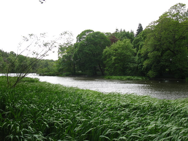
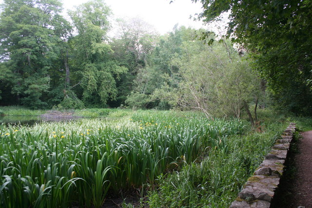
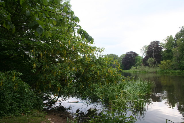
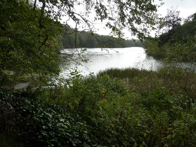
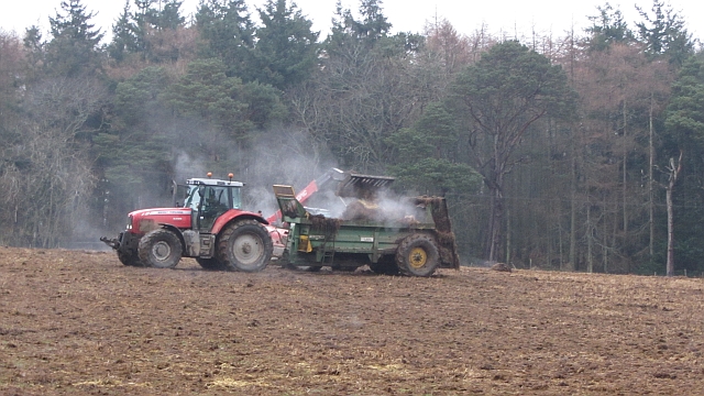
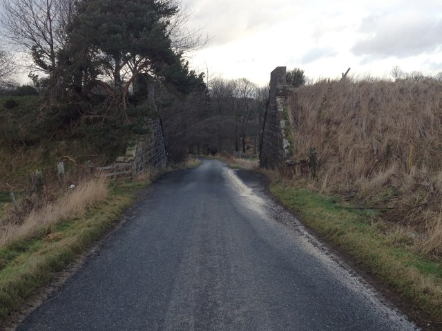
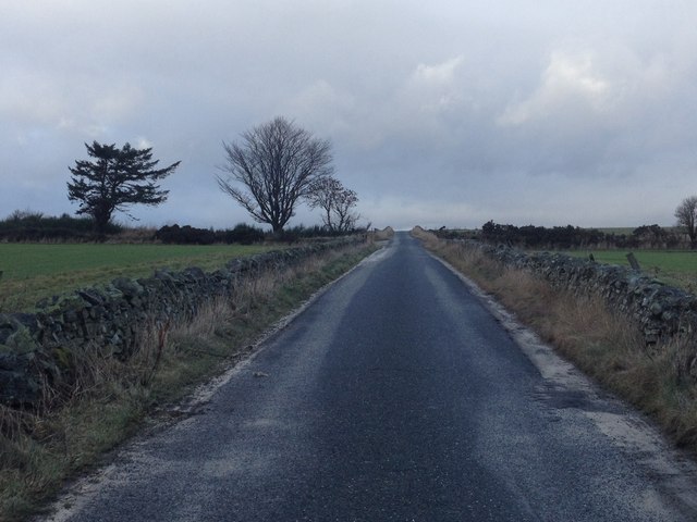
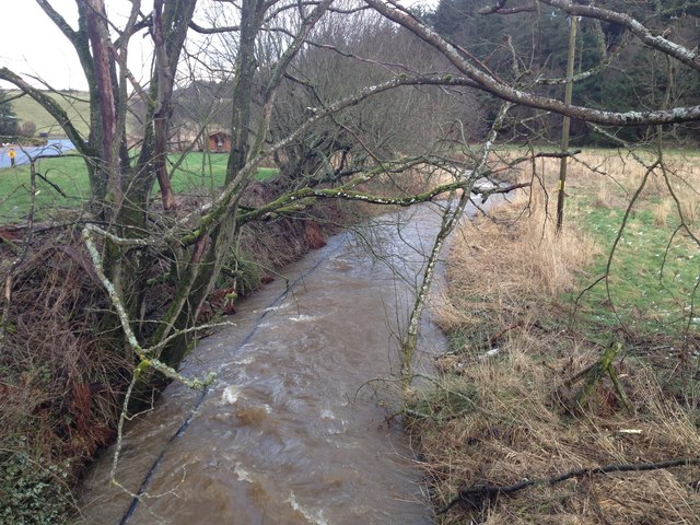
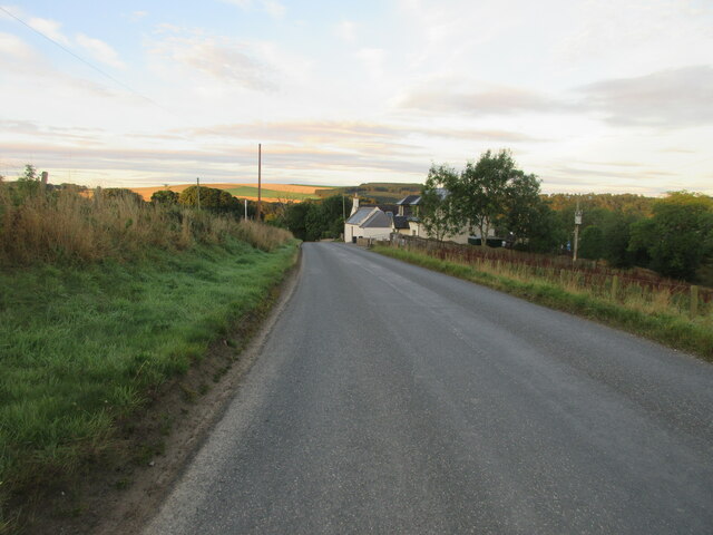
Atnach Wood is a beautiful woodland located in Aberdeenshire, Scotland. Covering an area of approximately 560 hectares, this forest is a mix of native and commercial tree species, including Scots pine, birch, and oak. The woodland is situated on the slopes of the River Don valley, offering stunning views of the surrounding countryside.

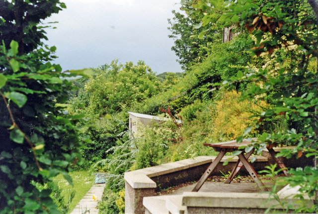
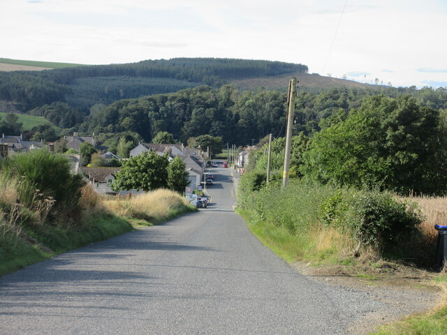
Atnach Wood is a popular destination for outdoor enthusiasts, offering a network of walking and cycling trails that wind through the forest. The diverse range of habitats within the woodland provides a haven for a variety of wildlife, including red squirrels, deer, and a wide array of bird species.

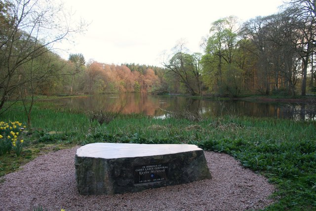
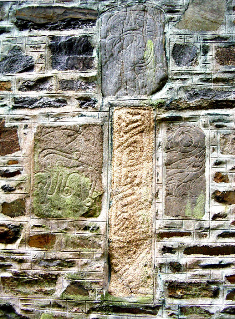
Visitors to Atnach Wood can enjoy a peaceful retreat in nature, with opportunities for birdwatching, photography, and simply taking in the tranquil surroundings. The forest is also home to several archaeological sites, including a prehistoric burial cairn, adding to its cultural significance.

Overall, Atnach Wood is a picturesque and diverse woodland that offers a range of recreational opportunities for visitors to enjoy the natural beauty of Aberdeenshire.

If you have any feedback on the listing, please let us know in the comments section below.

Atnach Wood Images

Images are sourced within 2km of 57.426079/-2.4096028 or Grid Reference NJ7537. Thanks to Geograph Open Source API. All images are credited.

Lakeside Memorial A memorial to an army cadet tragically killed in an accident on the west coast overlooking Fyvie Castle Lake.
Lakeside Memorial
A memorial to an army cadet tragically killed in an accident on the west coast overlooking Fyvie Castle Lake.
View of the Loch of Fyvie The northern end of the loch.
View of the Loch of Fyvie
The northern end of the loch.
Flag Iris Yellow Flag Iris (Iris pseudacorus) at the edge of the Loch of Fyvie.
Flag Iris
Yellow Flag Iris (Iris pseudacorus) at the edge of the Loch of Fyvie.
Yellow over the lake Laburnum drooping over Fyvie Lake.
Yellow over the lake
Laburnum drooping over Fyvie Lake.
Loch of Fyvie
Loch of Fyvie
Muck spreading A field amongst pine woods. It is still cold enough for the muck to "steam".
Muck spreading
A field amongst pine woods. It is still cold enough for the muck to "steam".
Fyvie station (site/remains), 1997 The station was on the ex-GNSR branch from Inveramsay - Macduff off the Aberdeen - Elgin main line. View southward, towards Inveramsay.
The station here and line were closed to passengers from 1/10/51; the line was closed to goods Turriff - Macduff from 1/8/61, Inveramsay - Turriff (through Fyvie) from 3/1/66. (Make out what you can from the photograph!)
Fyvie station (site/remains), 1997
The station was on the ex-GNSR branch from Inveramsay - Macduff off the Aberdeen - Elgin main line. View southward, towards Inveramsay. The station here and line were closed to passengers from 1/10/51; the line was closed to goods Turriff - Macduff from 1/8/61, Inveramsay - Turriff (through Fyvie) from 3/1/66. (Make out what you can from the photograph!)
Fyvie mercat cross, Cuminestown Road
Dismantled railway bridge over a road near Haddo
Minor road near Rothiebrisbane
Farm track near Rothiebrisbane
Minor road near Blackbog Croft
Fordoun Burn in spate
Fyvie War Memorial The Fyvie War Memorial on the junction of the B9005 and C26S (Aberdeenshire) roads.
Fyvie War Memorial
The Fyvie War Memorial on the junction of the B9005 and C26S (Aberdeenshire) roads.
B9005 east of Fyvie The B9005 heading west just outside the village of Fyvie.
B9005 east of Fyvie
The B9005 heading west just outside the village of Fyvie.
Heading down the hill to Fyvie The C26S (Aberdeenshire) road heading south-west down the hill to the village of Fyvie.
Heading down the hill to Fyvie
The C26S (Aberdeenshire) road heading south-west down the hill to the village of Fyvie.
Show me another place!

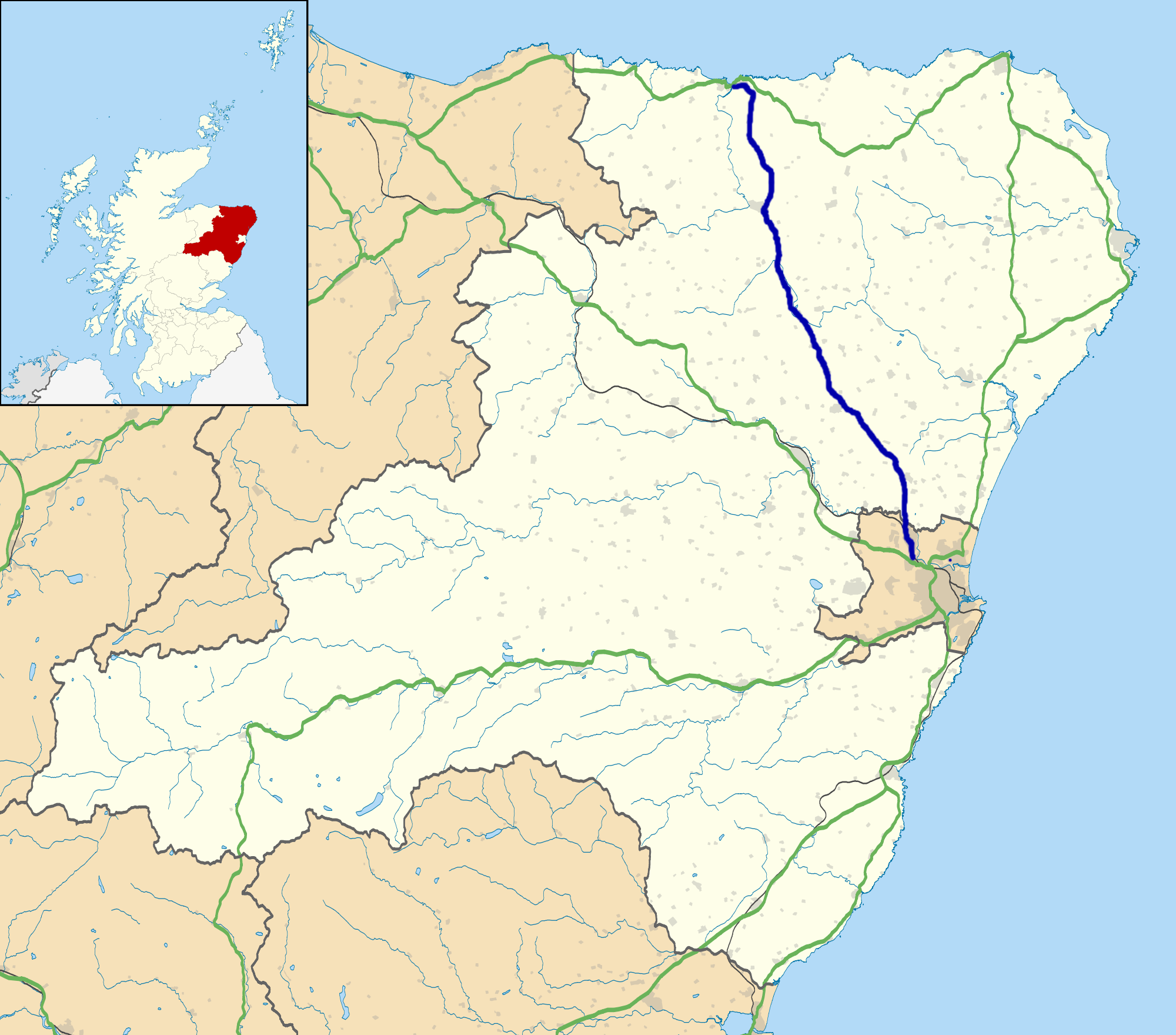
Atnach Wood is located at Grid Ref: NJ7537 (Lat: 57.426079, Lng: -2.4096028)

Unitary Authority: Aberdeenshire

Police Authority: North East

What 3 Words

///drop.orbited.caressing. Near Rothienorman, Aberdeenshire

Related Wikis

Fyvie

Fyvie is a village in the Formartine area of Aberdeenshire, Scotland. == Geography == Fyvie lies alongside the River Ythan and is on the A947 road. �...

Fyvie railway station

Fyvie railway station was a railway station near Fyvie, Aberdeenshire. It served the rural area and Fyvie Castle, but lay about 1 mile (1.6 km) from the...

Fyvie Castle

Fyvie Castle is a castle in the village of Fyvie, near Turriff in Aberdeenshire, Scotland. == History == The earliest parts of Fyvie Castle date from the...

A947 road

The A947 is a single-carriageway road in Scotland that links Aberdeen to Banff via several towns in Aberdeenshire, including Newmachar, Oldmeldrum, Fyvie...

Nearby Amenities

Located within 500m of 57.426079,-2.4096028
Power: pole
Lat/Long: 57.4303183/-2.4108913
Power: pole
Lat/Long: 57.4297435/-2.4097026
Power: pole
Lat/Long: 57.4291895/-2.4085744
Power: pole
Lat/Long: 57.428668/-2.4074569
Power: pole
Lat/Long: 57.4281466/-2.4063459
Power: pole
Lat/Long: 57.4277668/-2.4055433
Power: pole
Lat/Long: 57.4273731/-2.4047106
Power: pole
Lat/Long: 57.426977/-2.403893
Power: pole
Lat/Long: 57.4266053/-2.4030905
Power: pole
Lat/Long: 57.4261907/-2.4019644
The data included in this document is from www.openstreetmap.org. The data is made available under ODbL.

Have you been to Atnach Wood?

Leave your review of Atnach Wood below (or comments, questions and feedback).