Chapelton
Settlement in Kincardineshire
Scotland
Chapelton

Chapelton is a small village located in the Kincardineshire region of Scotland. Situated approximately 10 miles south of Aberdeen, it lies within the Aberdeenshire Council area. This close proximity to a major city provides residents with easy access to a range of amenities and services while still enjoying the tranquility of a rural setting.
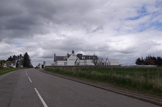
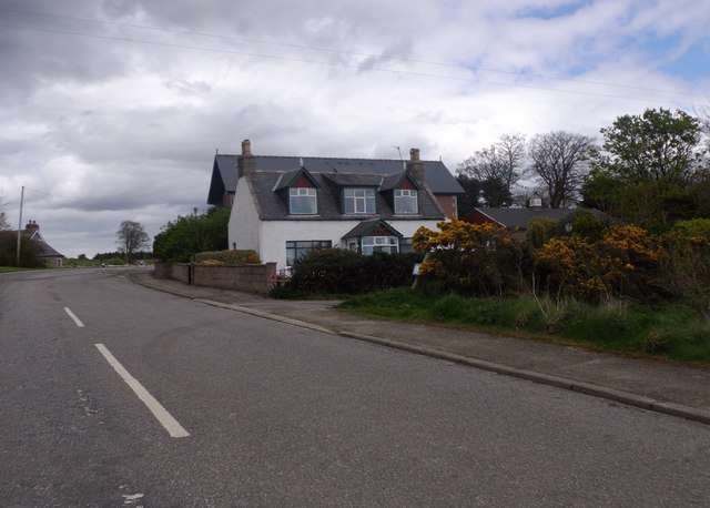
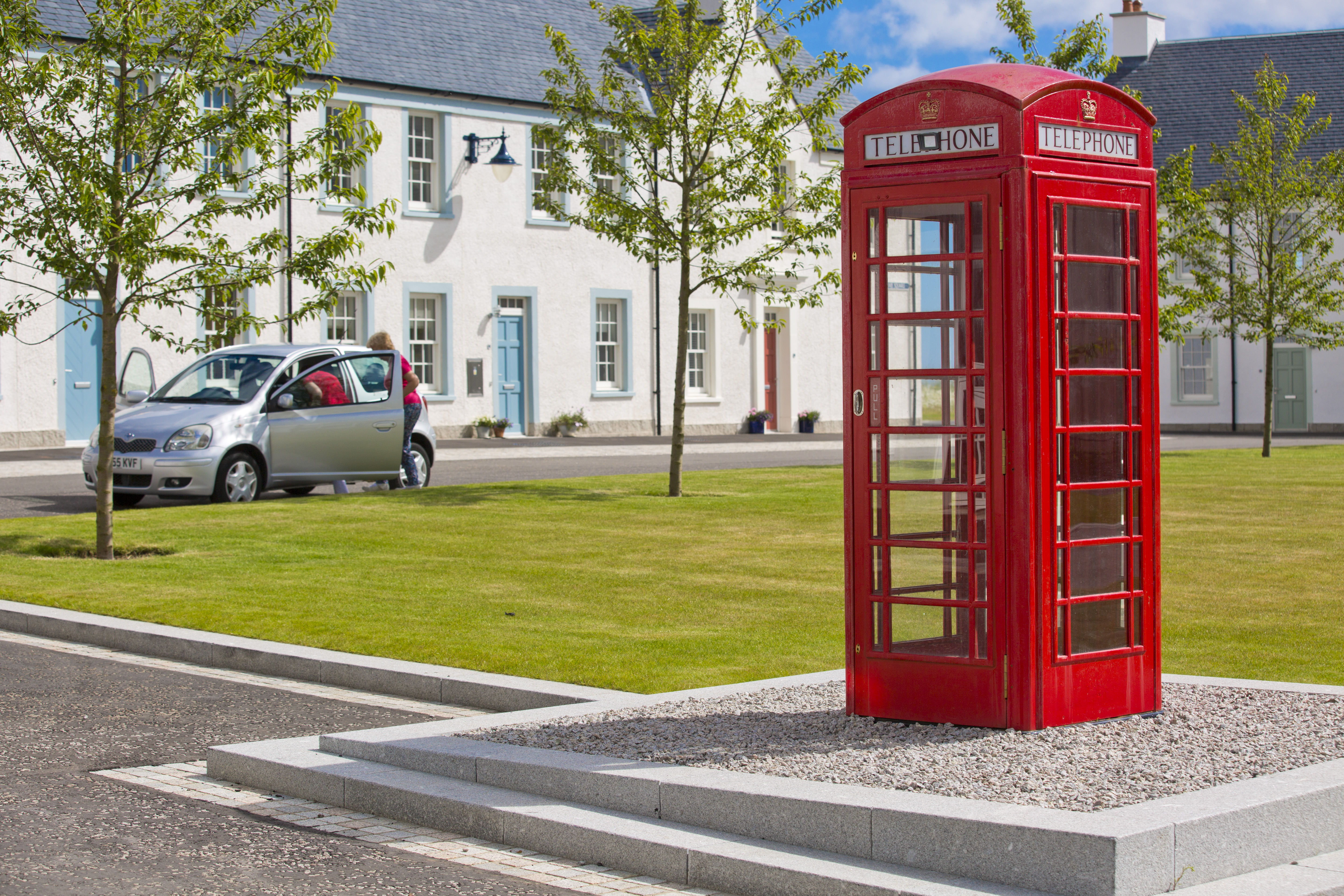
The village itself boasts a picturesque landscape, surrounded by rolling hills and lush greenery. It is well-known for its charming stone-built houses, which give it a traditional Scottish character. Despite its small size, Chapelton has a close-knit community, with a population of around 1,500 people.
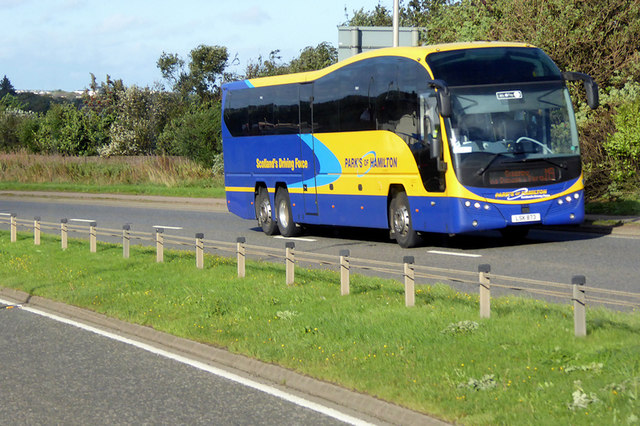
Chapelton offers a range of facilities for its residents, including a primary school, local shops, and a community center. The village also benefits from excellent transportation links, with regular bus services connecting it to Aberdeen and other nearby towns.
In recent years, Chapelton has undergone significant development, with the construction of new homes and amenities. This expansion has attracted new residents, including families and professionals seeking a peaceful yet accessible location to live.
The surrounding area offers plenty of opportunities for outdoor activities, including walking, cycling, and fishing. Additionally, the nearby coastline provides stunning views and the chance to explore beautiful sandy beaches.
Overall, Chapelton is a charming village that combines the convenience of urban living with the tranquility of a rural setting. Its picturesque surroundings, community spirit, and proximity to Aberdeen make it an attractive place for individuals and families looking for a peaceful Scottish lifestyle.
If you have any feedback on the listing, please let us know in the comments section below.
Chapelton Images
Images are sourced within 2km of 57.032472/-2.1747033 or Grid Reference NO8993. Thanks to Geograph Open Source API. All images are credited.


Chapelton is located at Grid Ref: NO8993 (Lat: 57.032472, Lng: -2.1747033)
Unitary Authority: Aberdeenshire
Police Authority: North East
What 3 Words
///laying.covertly.gearbox. Near Newtonhill, Aberdeenshire
Related Wikis
Chapelton, Aberdeenshire
Chapelton is a 810 hectares (2,000 acres) new town in Aberdeenshire, Scotland, 16 kilometres (9.9 miles) south of Aberdeen. It is situated close to the...
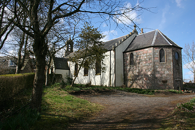
Saint Ternan's Church
Saint Ternan's Church is an Episcopal church in the Diocese of Brechin, near Muchalls in Aberdeenshire, Scotland.The oldest church building in the Diocese...

Causey Mounth
The Causey Mounth is an ancient drovers' road over the coastal fringe of the Grampian Mountains in Aberdeenshire, Scotland. This route was developed as...
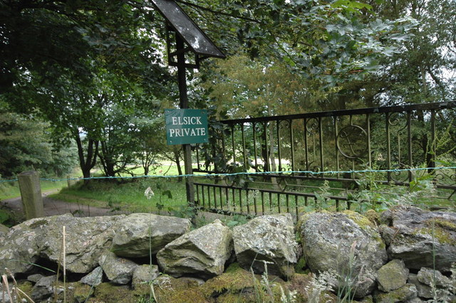
Elsick House
Elsick House is a historic house in Kincardineshire (now part of Aberdeenshire), North-East Scotland. It is situated in an agricultural area about two...
Nearby Amenities
Located within 500m of 57.032472,-2.1747033Have you been to Chapelton?
Leave your review of Chapelton below (or comments, questions and feedback).