Chapelton
Settlement in Angus
Scotland
Chapelton

Chapelton is a small village located in the Angus region of Scotland. Situated in the eastern part of the country, Chapelton lies approximately 6 miles north of the town of Forfar. With a population of around 400 residents, it is considered a close-knit and friendly community.
The village is known for its picturesque setting, surrounded by rolling hills and farmland, offering stunning views of the Angus countryside. The area is rich in natural beauty, with ample opportunities for outdoor activities such as hiking, cycling, and fishing. The nearby Loch Lee is a popular spot for anglers, attracting both locals and visitors alike.
Historically, Chapelton has roots dating back to the 18th century when it was primarily an agricultural community. Today, it retains its rural charm with a scattering of traditional stone-built cottages and farmhouses. The village also boasts a small but bustling high street, featuring a few local shops, a post office, and a village hall that serves as a hub for community events and gatherings.
Chapelton benefits from its proximity to Forfar, where residents have access to a wider range of amenities, including schools, healthcare facilities, and supermarkets. The village is well-connected by road, with easy access to the A90, making it convenient for commuting to nearby towns and cities like Dundee and Aberdeen.
Overall, Chapelton offers a peaceful and idyllic lifestyle, making it an attractive place to live for those seeking a quieter, rural setting while still having convenient access to essential services and amenities.
If you have any feedback on the listing, please let us know in the comments section below.
Chapelton Images
Images are sourced within 2km of 56.613322/-2.6207243 or Grid Reference NO6247. Thanks to Geograph Open Source API. All images are credited.


Chapelton is located at Grid Ref: NO6247 (Lat: 56.613322, Lng: -2.6207243)
Unitary Authority: Angus
Police Authority: Tayside
What 3 Words
///beaten.posed.wages. Near Friockheim, Angus
Nearby Locations
Related Wikis
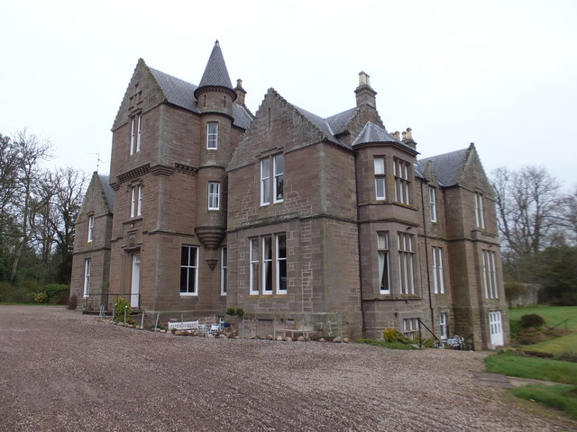
Colliston Castle
Colliston Castle is a 16th-century Z-plan tower house, altered and extended in the 18th and 19th centuries. It is located 6 kilometres (3.7 mi) north of...

Colliston railway station
Colliston railway station was a railway station at Colliston near Arbroath in Scotland.The station was opened on 24 November 1838 by the Arbroath and...

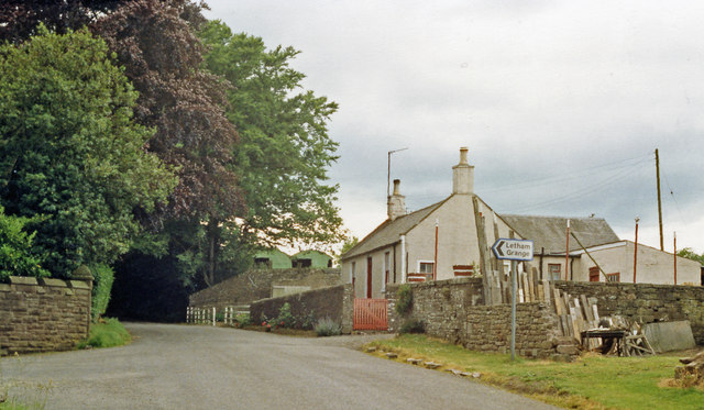
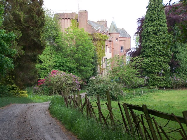
Letham Grange estate
Letham Grange is a mansion and estate situated north of Arbroath, in Angus, Scotland. The mansion itself is category B listed. == History == The mansion...

Leysmill railway station
Leysmill railway station served the village of Leysmill, Angus, Scotland from 1838 to 1955 on the Arbroath and Forfar Railway. == History == The station...
Nearby Amenities
Located within 500m of 56.613322,-2.6207243Have you been to Chapelton?
Leave your review of Chapelton below (or comments, questions and feedback).