Kyleshill Plantation
Wood, Forest in Berwickshire
Scotland
Kyleshill Plantation
The requested URL returned error: 429 Too Many Requests
If you have any feedback on the listing, please let us know in the comments section below.
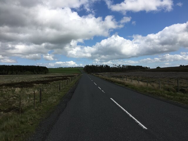
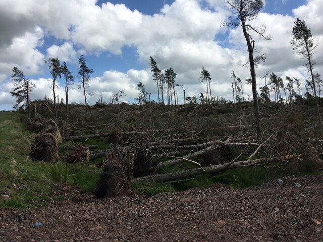
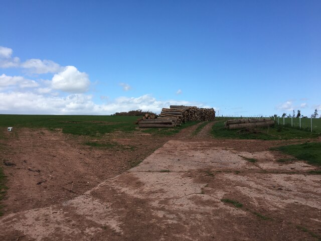
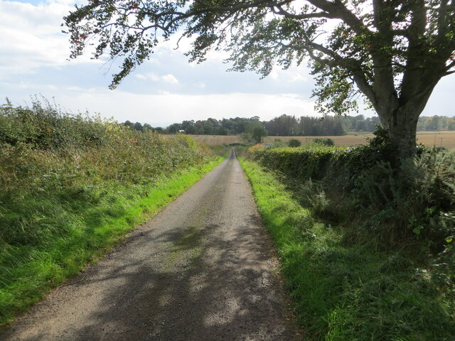
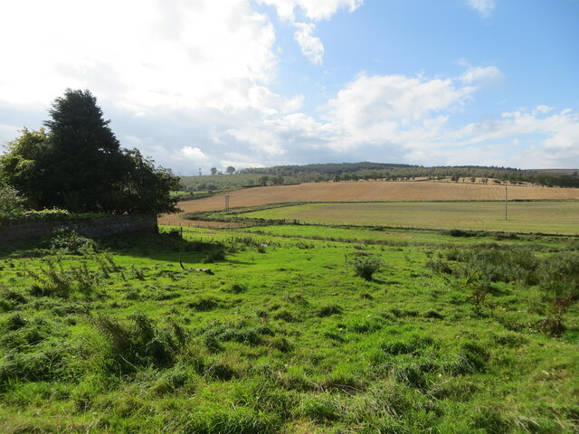
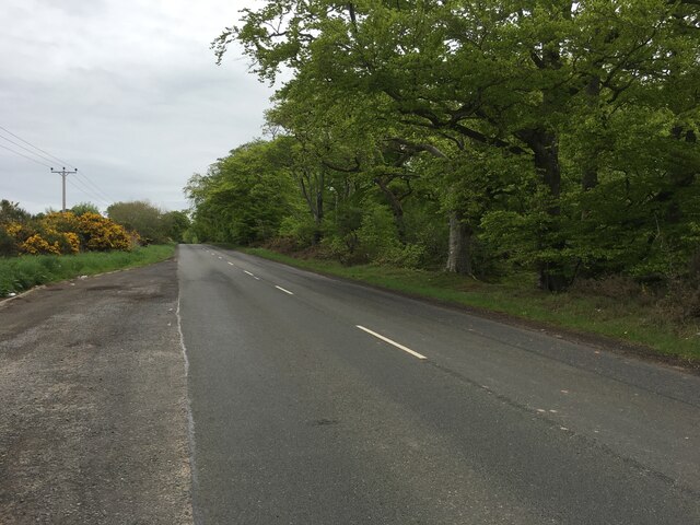
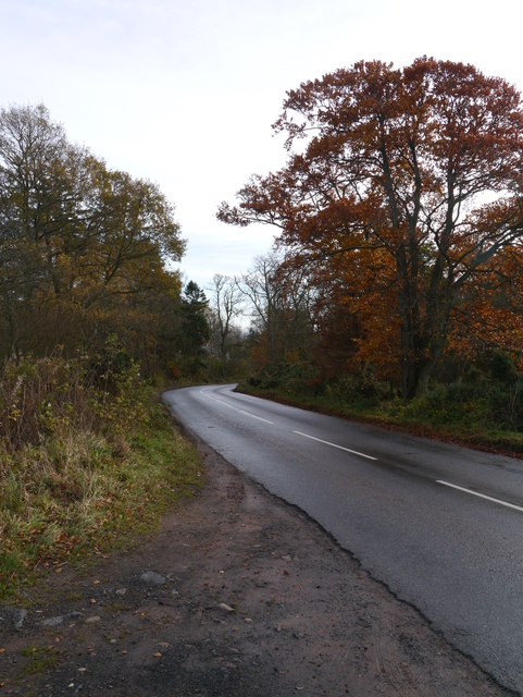
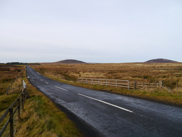
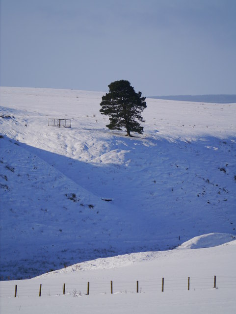
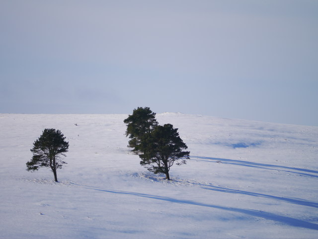
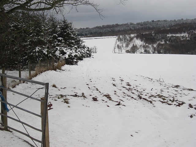
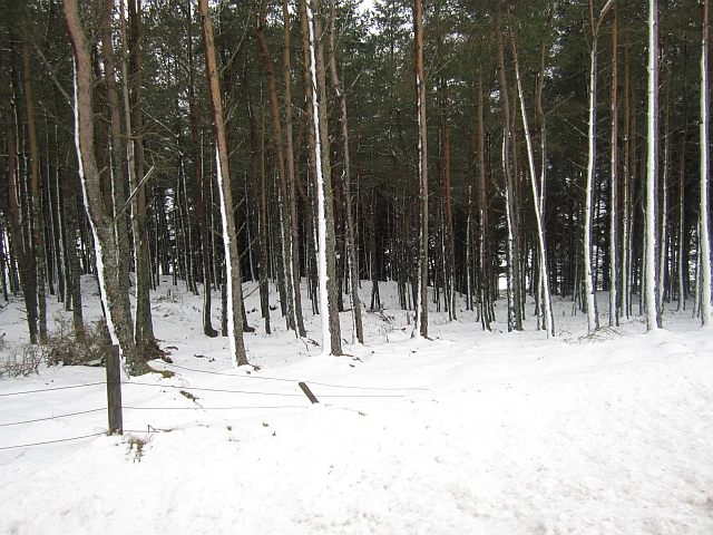
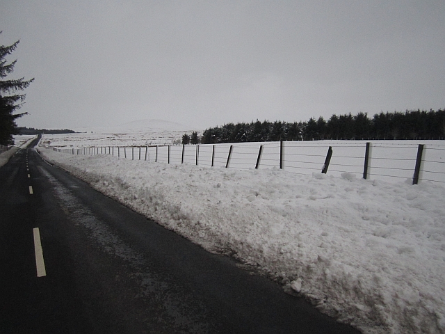
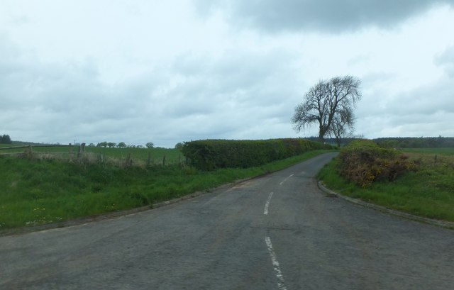
Kyleshill Plantation Images
Images are sourced within 2km of 55.743342/-2.4343014 or Grid Reference NT7250. Thanks to Geograph Open Source API. All images are credited.


Kyleshill Plantation is located at Grid Ref: NT7250 (Lat: 55.743342, Lng: -2.4343014)
Unitary Authority: The Scottish Borders
Police Authority: The Lothians and Scottish Borders
What 3 Words
///muddy.aunts.runways. Near Duns, Scottish Borders
Nearby Locations
Related Wikis

Polwarth, Scottish Borders
Polwarth (Scots: Polart) is a village and parish in the Scottish Borders area of Scotland. It is located at grid reference NT745502, between Greenlaw and...

Polwarth Castle
Polwarth Castle was a castle, located near Polwarth, Scottish Borders in Scotland. == History == Held by the Polwarth family it passed by marriage of Elizabeth...

Marchmont House
Marchmont House lies on the east side of the village of Greenlaw, and near to a church in Polwarth in Berwickshire, in the Scottish Borders area of Scotland...
Polwarth Parish Church
Polwarth Parish Church was a member church (Scots: kirk) of the Church of Scotland before closing in 2004. It is situated atop a mound off a minor...
Nearby Amenities
Located within 500m of 55.743342,-2.4343014Have you been to Kyleshill Plantation?
Leave your review of Kyleshill Plantation below (or comments, questions and feedback).