Garrol Wood
Wood, Forest in Kincardineshire
Scotland
Garrol Wood

Garrol Wood, situated in the picturesque region of Kincardineshire, Scotland, is a captivating forest that spans across a vast area. Known for its rich biodiversity and stunning natural beauty, Garrol Wood attracts nature enthusiasts, hikers, and photographers alike.
Covering an area of approximately 500 hectares, Garrol Wood is predominantly composed of native tree species such as oak, birch, and Scots pine. These magnificent trees create a dense canopy that provides shade and shelter for a variety of wildlife. The forest floor is adorned with a diverse range of flora, including bluebells, wild garlic, and ferns, adding to the enchanting ambiance of the woodland.
Exploring Garrol Wood offers visitors a chance to immerse themselves in the peaceful tranquility of nature. The forest is crisscrossed by a network of well-maintained walking trails that cater to different levels of fitness and experience. These trails meander through the forest, offering stunning views of the surrounding landscape and allowing visitors to encounter the abundant wildlife that calls Garrol Wood home.
Birdwatchers will delight in the opportunity to spot a wide array of avian species, including woodpeckers, buzzards, and owls. Red squirrels, foxes, and roe deer can also frequently be observed, adding to the allure of the woodland experience.
Garrol Wood is not only a haven for nature lovers but also plays a vital role in carbon capture and storage, contributing to the fight against climate change. The forest is managed sustainably, ensuring its long-term preservation and the continued enjoyment of its natural wonders for generations to come.
If you have any feedback on the listing, please let us know in the comments section below.
Garrol Wood Images
Images are sourced within 2km of 57.001434/-2.4489088 or Grid Reference NO7290. Thanks to Geograph Open Source API. All images are credited.


Garrol Wood is located at Grid Ref: NO7290 (Lat: 57.001434, Lng: -2.4489088)
Unitary Authority: Aberdeenshire
Police Authority: North East
What 3 Words
///attracts.mute.finalists. Near Banchory, Aberdeenshire
Nearby Locations
Related Wikis
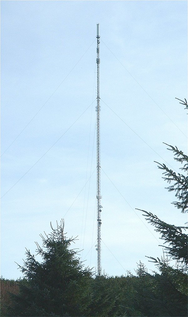
Durris transmitting station
The Durris transmitting station is a broadcasting and telecommunications facility, situated close to the town of Stonehaven, within Durris Forest, within...

Lochton
Lochton is a settlement on the Slug Road in Aberdeenshire, Scotland. Roman legions marched from Raedykes to Normandykes Roman Camp somewhat east of Lochton...

Craiginour
Craiginour is a hill located near Cowie Water in Stonehaven, Aberdeenshire, Scotland. Its summit is at 355 metres (1,165 ft). == References ==
Cryne Corse Mounth
Cryne Corse Mounth is an old droving road which ran south across the high ground from the Dee valley in Aberdeenshire, eastern Scotland. Much of the route...
Have you been to Garrol Wood?
Leave your review of Garrol Wood below (or comments, questions and feedback).