Mulloch Wood
Wood, Forest in Kincardineshire
Scotland
Mulloch Wood

Mulloch Wood, located in Kincardineshire, Scotland, is a picturesque forest covering an area of approximately 2 square kilometers. Nestled between the towns of Stonehaven and Banchory, this wood is a haven for nature enthusiasts and hikers alike.
The wood is predominantly composed of native Scottish tree species, including oak, birch, and Scots pine, creating a diverse and vibrant ecosystem. The canopy of the wood provides a cool and shaded environment, perfect for escaping the heat during the summer months.
Mulloch Wood is crisscrossed by an extensive network of well-maintained walking trails, allowing visitors to explore its natural beauty. These trails are suitable for all levels of fitness, catering to both casual strollers and avid hikers. Along the way, visitors can encounter an array of wildlife, including red squirrels, roe deer, and a variety of bird species.
The wood also boasts a small loch, adding to its charm and providing a tranquil spot for visitors to relax and enjoy the peaceful surroundings. The loch is home to several species of freshwater fish, making it a popular spot for anglers.
Mulloch Wood is not only a recreational area but also plays an important role in preserving and protecting the local environment. The forest is managed by the Forestry Commission, ensuring sustainable practices and the maintenance of its natural ecosystems.
For those seeking a peaceful retreat in the heart of nature, Mulloch Wood in Kincardineshire offers a captivating experience, with its diverse wildlife, scenic trails, and serene loch.
If you have any feedback on the listing, please let us know in the comments section below.
Mulloch Wood Images
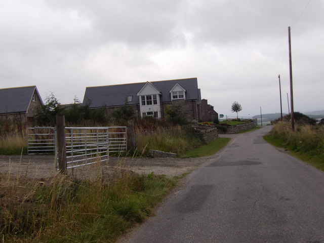
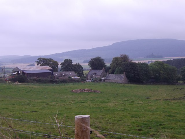
Images are sourced within 2km of 57.014431/-2.4544503 or Grid Reference NO7291. Thanks to Geograph Open Source API. All images are credited.


Mulloch Wood is located at Grid Ref: NO7291 (Lat: 57.014431, Lng: -2.4544503)
Unitary Authority: Aberdeenshire
Police Authority: North East
What 3 Words
///dodges.skips.spenders. Near Banchory, Aberdeenshire
Nearby Locations
Related Wikis

Tilquhillie Castle
Tilquhillie Castle is a castle near Banchory in Aberdeenshire, Scotland. A Category A listed building, the castle formally formed part of the lands of...

Lochton
Lochton is a settlement on the Slug Road in Aberdeenshire, Scotland. Roman legions marched from Raedykes to Normandykes Roman Camp somewhat east of Lochton...
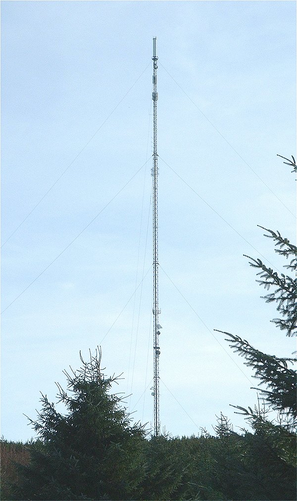
Durris transmitting station
The Durris transmitting station is a broadcasting and telecommunications facility, situated close to the town of Stonehaven, within Durris Forest, within...

Braehead, Banchory
Braehead, Banchory is a proposed major housing development to the south of Banchory, Aberdeenshire, Scotland. The site is home to Braehead farm, formerly...
Have you been to Mulloch Wood?
Leave your review of Mulloch Wood below (or comments, questions and feedback).