Garrol Hill
Hill, Mountain in Kincardineshire
Scotland
Garrol Hill

Garrol Hill is a prominent landmark located in the region of Kincardineshire, Scotland. Situated approximately 10 miles south of Stonehaven, this hill is a popular destination for outdoor enthusiasts and nature lovers alike.
Rising to an elevation of 877 feet, Garrol Hill offers breathtaking panoramic views of the surrounding countryside. Its distinctive conical shape, covered in heather and grass, adds to its scenic charm. The hill is made up of ancient rocks, primarily composed of granite, which provides a solid foundation for a variety of plant and animal species.
A network of well-maintained trails winds its way up the hill, making it accessible to hikers of all skill levels. The main path begins at the village of Fettercairn, leading visitors through diverse landscapes, including woodlands, meadows, and moorlands. Along the way, walkers can spot various wildlife species such as red deer, rabbits, and a wide variety of birds.
One of the highlights of Garrol Hill is the remains of an Iron Age hillfort located near its summit. Known as the "Mither Tap," this ancient fort dates back over 2,000 years and provides a glimpse into the area's rich history. Archaeological excavations have revealed evidence of human occupation, including stone foundations and artifacts.
Garrol Hill also offers opportunities for other outdoor activities such as picnicking, photography, and birdwatching. With its stunning vistas and historical significance, it attracts visitors from near and far, providing a memorable experience for all who venture to its summit.
If you have any feedback on the listing, please let us know in the comments section below.
Garrol Hill Images
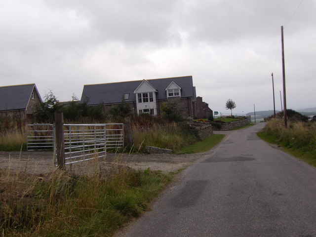
Images are sourced within 2km of 57.010466/-2.4578598 or Grid Reference NO7291. Thanks to Geograph Open Source API. All images are credited.


Garrol Hill is located at Grid Ref: NO7291 (Lat: 57.010466, Lng: -2.4578598)
Unitary Authority: Aberdeenshire
Police Authority: North East
What 3 Words
///archduke.redeemed.musical. Near Banchory, Aberdeenshire
Nearby Locations
Related Wikis

Tilquhillie Castle
Tilquhillie Castle is a castle near Banchory in Aberdeenshire, Scotland. A Category A listed building, the castle formally formed part of the lands of...

Lochton
Lochton is a settlement on the Slug Road in Aberdeenshire, Scotland. Roman legions marched from Raedykes to Normandykes Roman Camp somewhat east of Lochton...
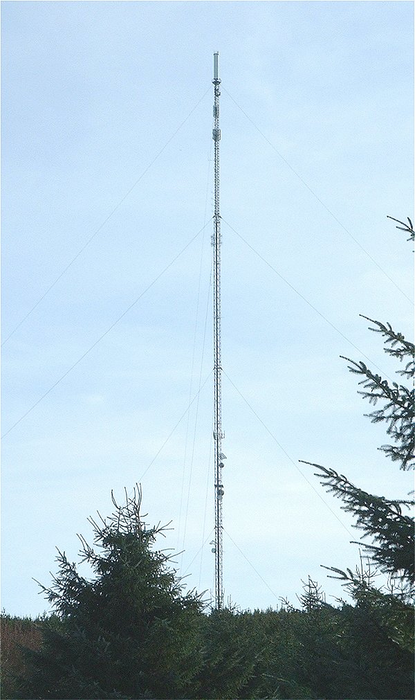
Durris transmitting station
The Durris transmitting station is a broadcasting and telecommunications facility, situated close to the town of Stonehaven, within Durris Forest, within...

Braehead, Banchory
Braehead, Banchory is a proposed major housing development to the south of Banchory, Aberdeenshire, Scotland. The site is home to Braehead farm, formerly...
Nearby Amenities
Located within 500m of 57.010466,-2.4578598Have you been to Garrol Hill?
Leave your review of Garrol Hill below (or comments, questions and feedback).