Orchard Wood
Wood, Forest in Roxburghshire
Scotland
Orchard Wood
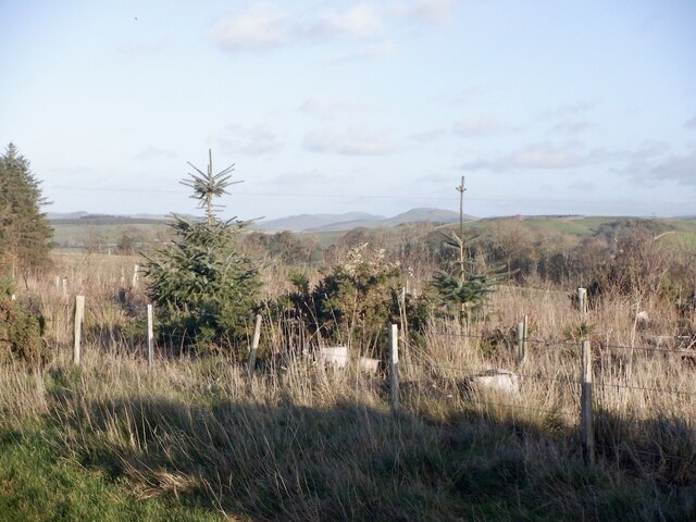
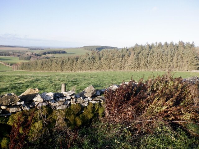
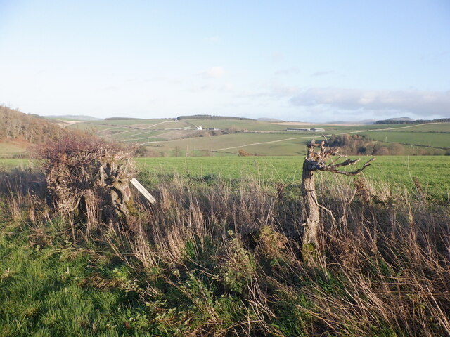
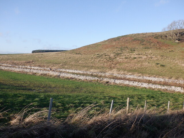
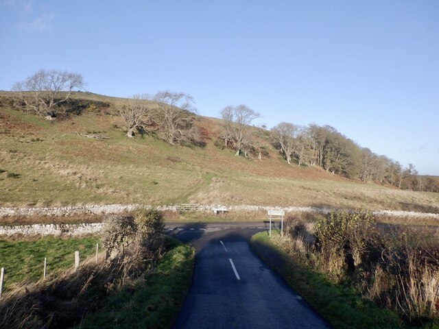
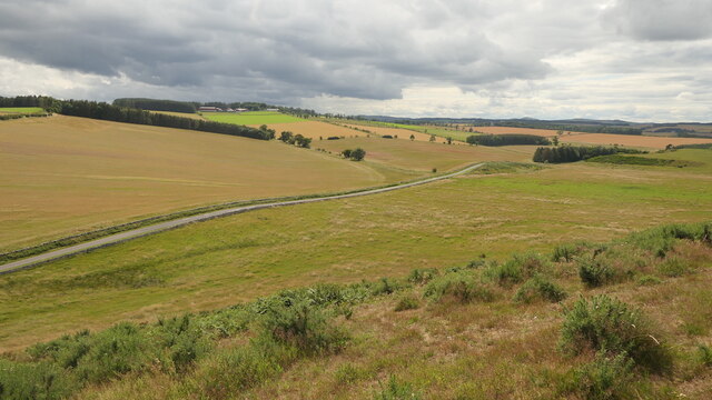
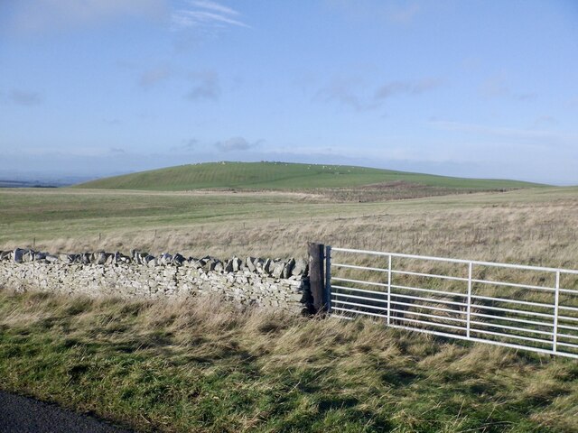
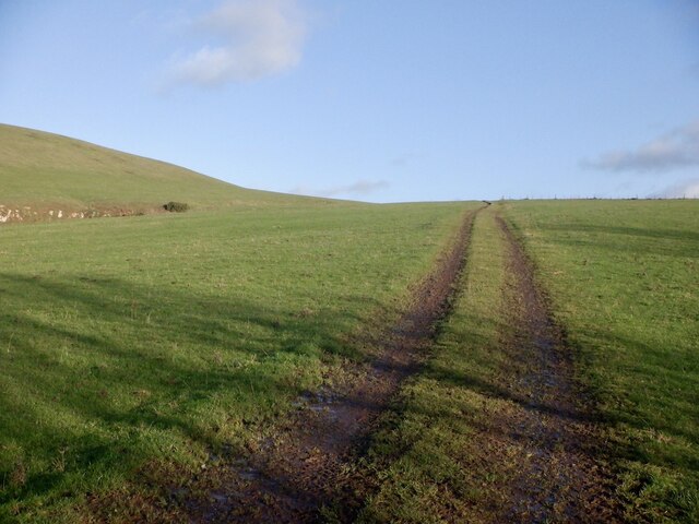
Orchard Wood is a charming forest located in Roxburghshire, a historic county in the southern part of Scotland. Covering an area of approximately 50 acres, this woodland oasis is a haven for nature enthusiasts and outdoor lovers.
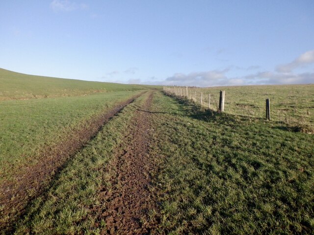
The wood is predominantly composed of native species such as oak, birch, and hazel, creating a diverse and vibrant ecosystem. The dense canopy of trees provides a cool and peaceful ambiance, making it an ideal destination for relaxation and exploration.
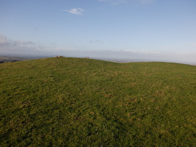
Within Orchard Wood, there are several well-maintained walking trails that wind through the forest, allowing visitors to immerse themselves in the natural beauty of the surroundings. These paths are suitable for all ages and fitness levels, offering a gentle stroll or a more challenging hike, depending on one's preference.
Wildlife thrives in Orchard Wood, and visitors may be fortunate enough to spot various species of birds, including woodpeckers and owls, as well as small mammals like red squirrels and rabbits. The forest floor is also home to an array of wildflowers and fungi, adding bursts of color and intrigue.
Aside from its natural attractions, Orchard Wood also offers picnic areas dotted throughout the forest, providing a perfect spot for a leisurely lunch or a peaceful moment of reflection. Additionally, the wood is well-equipped with information boards and interpretation panels, offering valuable insights into the flora and fauna found within.
Overall, Orchard Wood in Roxburghshire is a picturesque woodland retreat, offering a tranquil escape from the hustle and bustle of everyday life, and a chance to reconnect with nature in its purest form.
If you have any feedback on the listing, please let us know in the comments section below.
Orchard Wood Images
Images are sourced within 2km of 55.477374/-2.4374296 or Grid Reference NT7220. Thanks to Geograph Open Source API. All images are credited.


Orchard Wood is located at Grid Ref: NT7220 (Lat: 55.477374, Lng: -2.4374296)
Unitary Authority: The Scottish Borders
Police Authority: The Lothians and Scottish Borders
What 3 Words
///bandaged.stoops.smiling. Near Jedburgh, Scottish Borders
Nearby Locations
Related Wikis

Crailinghall
Crailinghall is a village near Oxnam in the Scottish Borders area of Scotland, in the former Roxburghshire. Crailinghall is on the route of the St. Cuthbert...

Cessford, Scottish Borders
Cessford is a hamlet and former barony about a mile south of the B6401 road, in the Scottish Borders area of Scotland. The placename is from Gaelic 'ceis...

Oxnam
Oxnam (Scots: Owsenam) is a village near Jedburgh, in Roxburghshire in the Scottish Borders area of Scotland. It is a primarily residential village. The...

Cessford Castle
Cessford Castle is a large ruined mid-15th century L-plan castle near the village of Cessford, midway Jedburgh and Kelso, in the historic county of Roxburghshire...
Crailing
Crailing is a village on the A698, in Teviotdale, 4m east of Jedburgh in the Scottish Borders area of Scotland, in the historic county of Roxburghshire...

Roxburghshire
Roxburghshire or the County of Roxburgh (Scottish Gaelic: Siorrachd Rosbroig) is a historic county and registration county in the Southern Uplands of Scotland...

Roxburgh, Ettrick and Lauderdale
Roxburgh, Ettrick and Lauderdale (Rosbrog, Eadaraig agus Srath Labhdair in Scottish Gaelic) is a lieutenancy area of Scotland. The lieutenancy area was...

Cessford Burn
Cessford Burn is a small stream which eventually runs to meet the Kale Water and then joins the River Teviot, finally entering the River Tweed at Kelso...
Nearby Amenities
Located within 500m of 55.477374,-2.4374296Have you been to Orchard Wood?
Leave your review of Orchard Wood below (or comments, questions and feedback).