Birneyrig Wood
Wood, Forest in Roxburghshire
Scotland
Birneyrig Wood
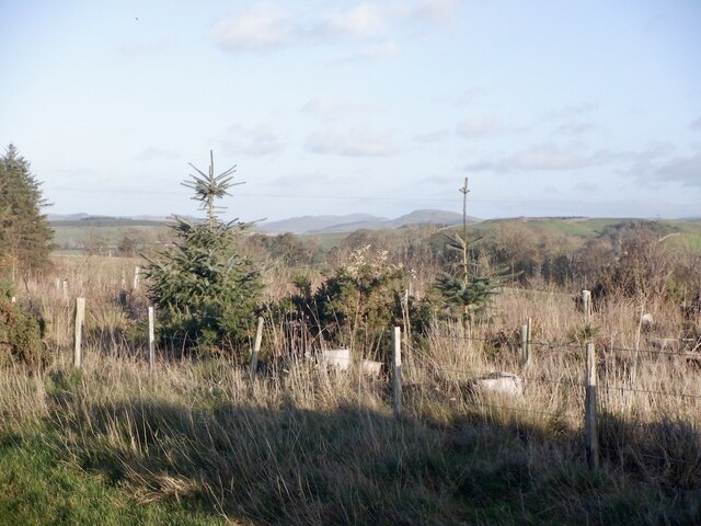
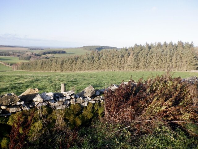
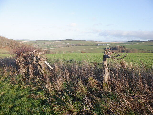
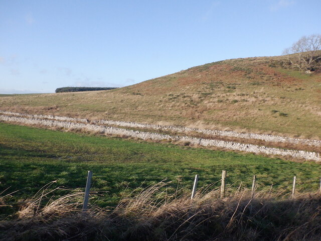
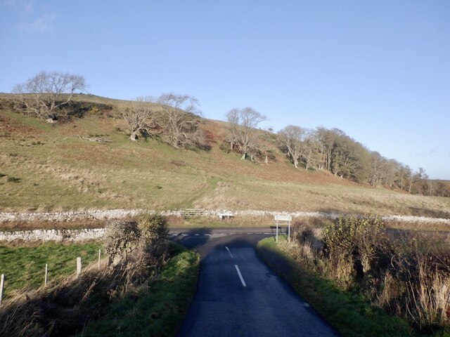
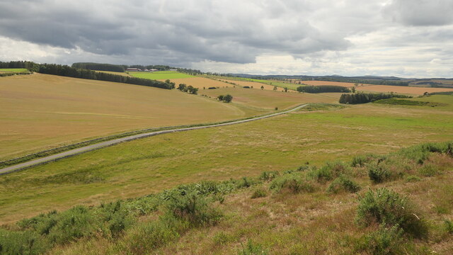
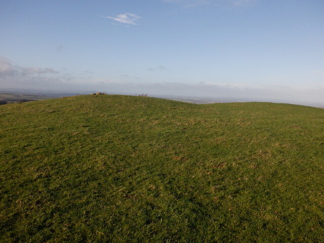
Birneyrig Wood is a picturesque woodland located in Roxburghshire, Scotland. Spanning over an area of several acres, it offers a tranquil and scenic escape for nature enthusiasts and outdoor lovers. The woodland is situated on the eastern slopes of Birney Hill, which provides a stunning backdrop to the breathtaking views within the forest.
The wood is known for its diverse range of tree species, including oak, birch, ash, and beech. The dense canopy created by these towering trees provides a cool and shady environment, making it a perfect destination for a leisurely stroll on a sunny day. The forest floor is covered in a thick carpet of moss and ferns, adding to the enchanting atmosphere of the wood.
Birneyrig Wood is home to a variety of wildlife, making it a popular spot for birdwatchers and nature photographers. Visitors can spot various woodland birds, such as woodpeckers, owls, and songbirds, as well as small mammals like squirrels and rabbits.
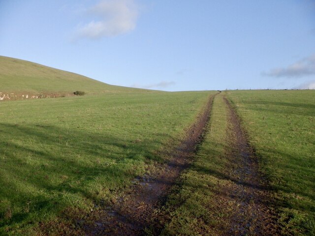
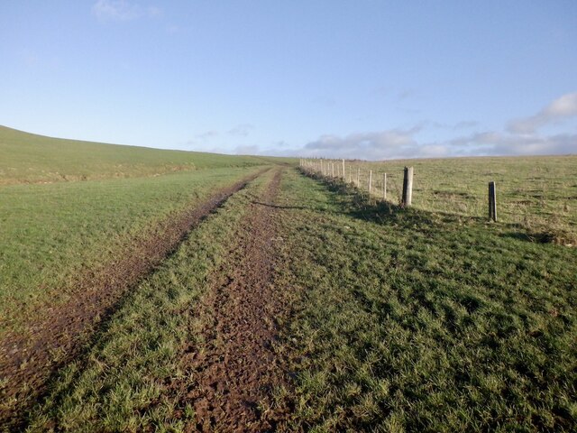
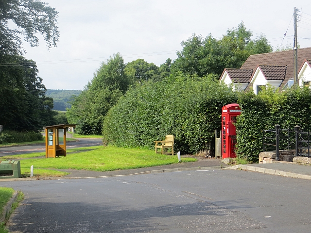
The woodland is well-maintained, with clearly marked trails and paths for visitors to explore. It is a great place for hiking, jogging, or simply immersing oneself in the beauty of nature. Additionally, there are picnic areas and benches scattered throughout the wood, allowing visitors to relax and take in the peaceful surroundings.
Overall, Birneyrig Wood in Roxburghshire offers a serene and enchanting experience for nature lovers, providing a perfect escape from the hustle and bustle of everyday life.
If you have any feedback on the listing, please let us know in the comments section below.
Birneyrig Wood Images
Images are sourced within 2km of 55.475953/-2.442856 or Grid Reference NT7220. Thanks to Geograph Open Source API. All images are credited.


Birneyrig Wood is located at Grid Ref: NT7220 (Lat: 55.475953, Lng: -2.442856)
Unitary Authority: The Scottish Borders
Police Authority: The Lothians and Scottish Borders
What 3 Words
///flaunting.riskiest.hungry. Near Jedburgh, Scottish Borders
Nearby Locations
Related Wikis

Crailinghall
Crailinghall is a village near Oxnam in the Scottish Borders area of Scotland, in the former Roxburghshire. Crailinghall is on the route of the St. Cuthbert...

Oxnam
Oxnam (Scots: Owsenam) is a village near Jedburgh, in Roxburghshire in the Scottish Borders area of Scotland. It is a primarily residential village. The...

Cessford, Scottish Borders
Cessford is a hamlet and former barony about a mile south of the B6401 road, in the Scottish Borders area of Scotland. The placename is from Gaelic 'ceis...

Cessford Castle
Cessford Castle is a large ruined mid-15th century L-plan castle near the village of Cessford, midway Jedburgh and Kelso, in the historic county of Roxburghshire...
Crailing
Crailing is a village on the A698, in Teviotdale, 4m east of Jedburgh in the Scottish Borders area of Scotland, in the historic county of Roxburghshire...

Roxburghshire
Roxburghshire or the County of Roxburgh (Scottish Gaelic: Siorrachd Rosbroig) is a historic county and registration county in the Southern Uplands of Scotland...

Roxburgh, Ettrick and Lauderdale
Roxburgh, Ettrick and Lauderdale (Rosbrog, Eadaraig agus Srath Labhdair in Scottish Gaelic) is a lieutenancy area of Scotland. The lieutenancy area was...

Cessford Burn
Cessford Burn is a small stream which eventually runs to meet the Kale Water and then joins the River Teviot, finally entering the River Tweed at Kelso...
Nearby Amenities
Located within 500m of 55.475953,-2.442856Have you been to Birneyrig Wood?
Leave your review of Birneyrig Wood below (or comments, questions and feedback).