Bardshillock Wood
Wood, Forest in Kincardineshire
Scotland
Bardshillock Wood
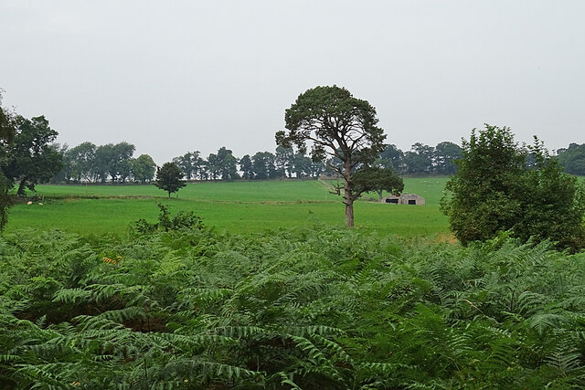
Bardshillock Wood is a picturesque forest located in the region of Kincardineshire, Scotland. Spanning across a vast area of land, this wood is a captivating natural wonder that attracts visitors from near and far.
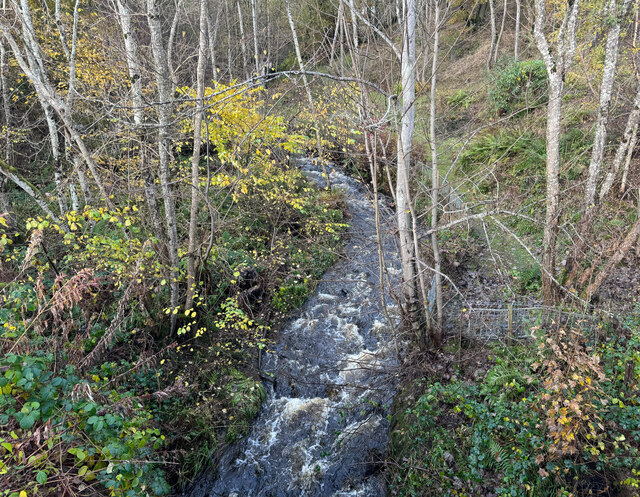
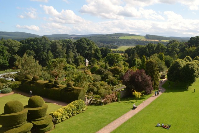
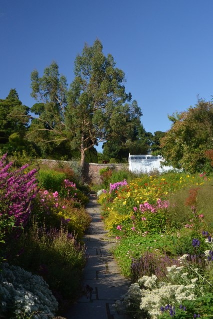
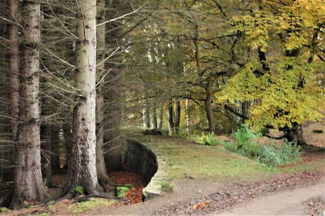
The wood is characterized by its dense vegetation, which consists mainly of native Scottish trees such as oak, birch, and pine. These trees create a lush and vibrant canopy that provides shelter and habitat for a variety of wildlife species. Walking through the wood, visitors will be enchanted by the symphony of bird songs and the occasional rustling of small mammals scurrying through the undergrowth.
The wood is crisscrossed by a network of well-maintained walking trails, allowing visitors to explore its beauty at their own pace. These trails lead to several viewpoints that offer breathtaking vistas of the surrounding countryside. On a clear day, visitors may even catch a glimpse of the distant hills and the sparkling waters of the North Sea.
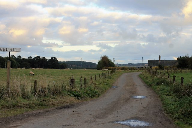
Bardshillock Wood is also known for its rich history. It is believed that the wood has been a source of timber for local communities for centuries. Remnants of old sawmills and logging activities can still be found, adding to the wood's historical charm.
For nature enthusiasts, Bardshillock Wood is a paradise. It offers a tranquil sanctuary away from the hustle and bustle of city life, where one can immerse themselves in the beauty of nature and experience the serenity of the Scottish countryside.
If you have any feedback on the listing, please let us know in the comments section below.
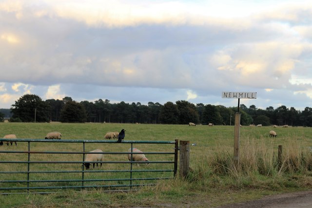
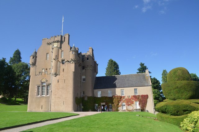
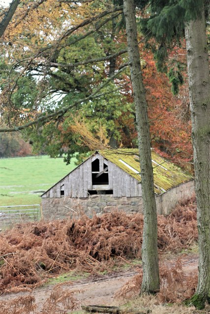
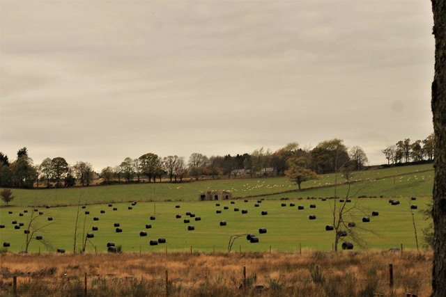
Bardshillock Wood Images
Images are sourced within 2km of 57.073074/-2.4568826 or Grid Reference NO7298. Thanks to Geograph Open Source API. All images are credited.
Bardshillock Wood is located at Grid Ref: NO7298 (Lat: 57.073074, Lng: -2.4568826)
Unitary Authority: Aberdeenshire
Police Authority: North East
What 3 Words
///respects.wobbles.ended. Near Banchory, Aberdeenshire
Nearby Locations
Related Wikis

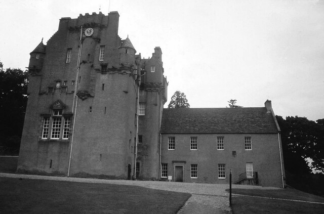
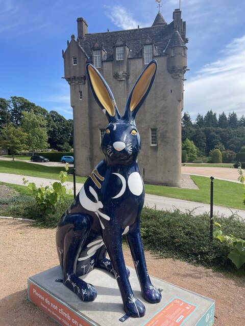
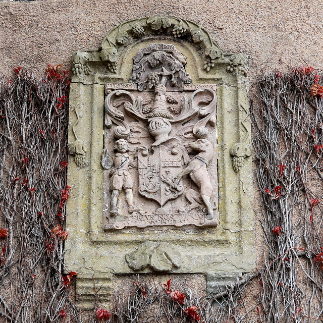
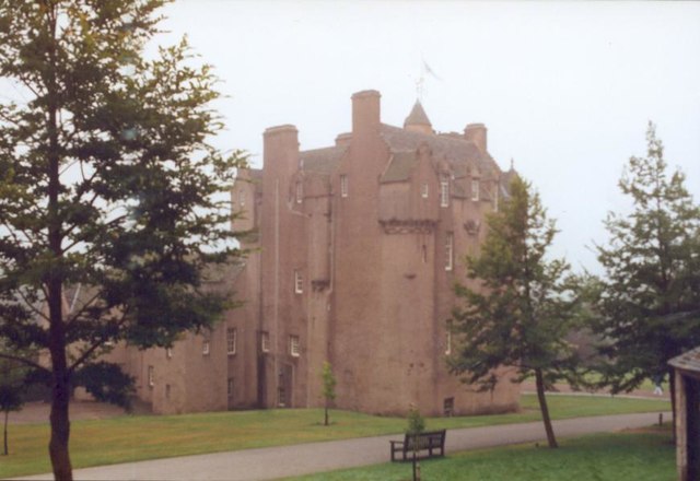
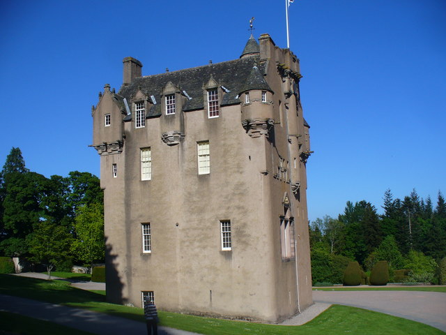
Crathes Castle
Crathes Castle (pronounced KRATH-iss) is a castle, built in the 16th-century, near Banchory in Aberdeenshire, Scotland. It is in the historic county of...
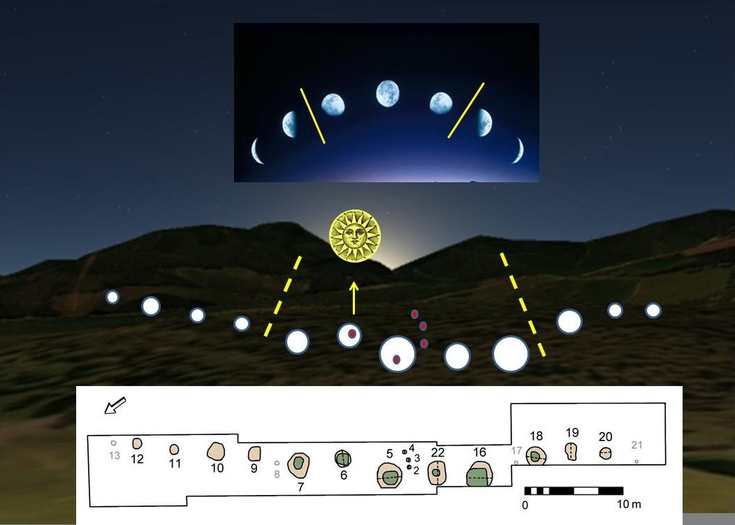
Warren Field
Warren Field is the location of a mesolithic calendar monument built about 8,000 BCE. It includes 12 pits believed to correlate with phases of the Moon...

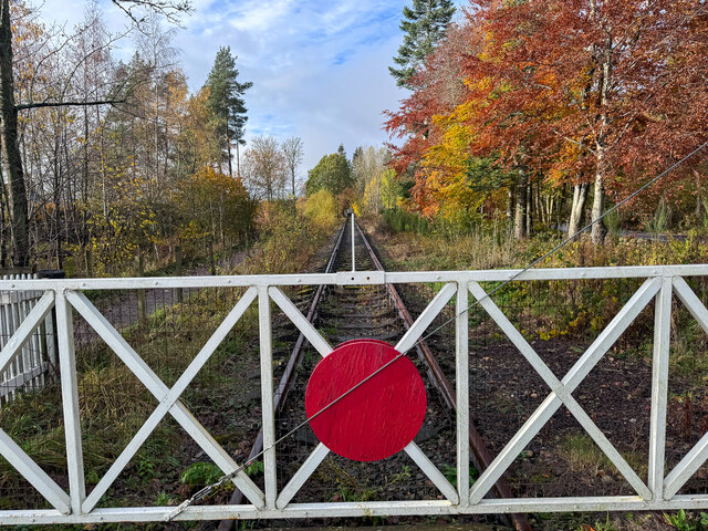
Milton of Crathes railway station
Milton of Crathes railway station is located at Milton of Crathes, three miles east of Banchory, Royal Deeside, Aberdeenshire, Scotland, United Kingdom...

Royal Deeside Railway
The Royal Deeside Railway is a Scottish heritage railway located at Milton of Crathes railway station on a part of the original Deeside Railway. ��2�...
Nearby Amenities
Located within 500m of 57.073074,-2.4568826Have you been to Bardshillock Wood?
Leave your review of Bardshillock Wood below (or comments, questions and feedback).