Nursery Wood

Wood, Forest in Berwickshire

Scotland

Nursery Wood

Ellemhaugh Beside Whiteadder Water.
Ellemhaugh Credit: Russel Wills

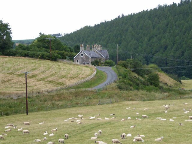
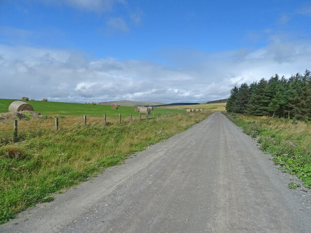
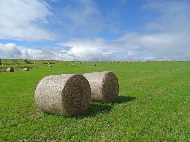
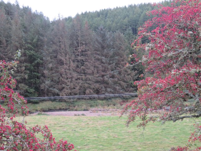
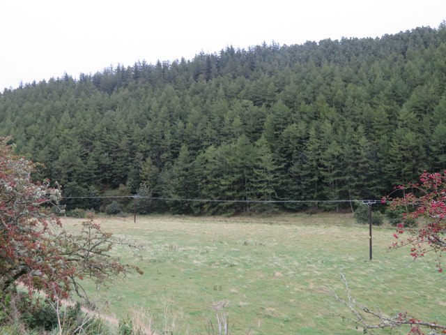
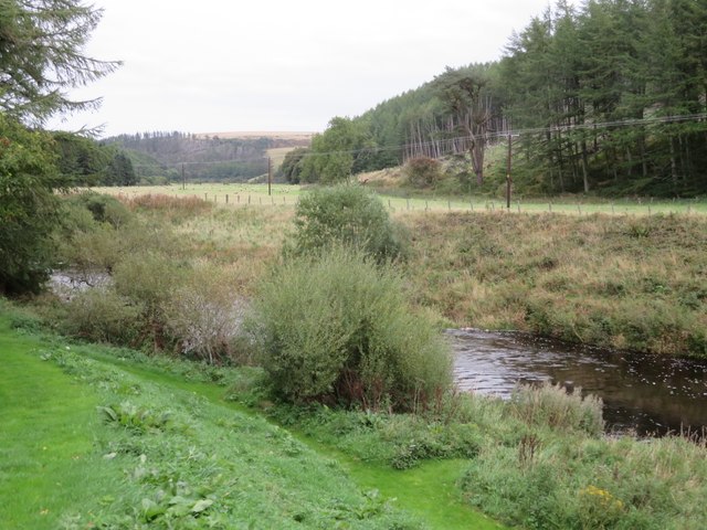
Nursery Wood is a picturesque forest located in the rural area of Berwickshire, Scotland. Spanning over a vast expanse of land, the wood is well-known for its natural beauty and tranquil ambiance. It is situated near the charming village of Chirnside, offering visitors a peaceful retreat away from the hustle and bustle of urban life.

The wood is predominantly made up of native tree species, including oak, ash, birch, and beech, which create a diverse and vibrant ecosystem. The dense canopy provides a sheltered habitat for various wildlife, such as birds, squirrels, and deer, making it a popular spot for nature enthusiasts and birdwatchers.

Nursery Wood boasts a network of well-maintained walking trails that wind through the forest, allowing visitors to explore its hidden treasures at their own pace. The paths are surrounded by lush undergrowth and wildflowers, creating a colorful and enchanting atmosphere during the warmer months.

In addition to its natural beauty, Nursery Wood also holds historical significance. It was once part of the estate of the Marquis of Tweeddale, a prominent Scottish nobleman. Visitors can still find remnants of old stone walls and structures that add to the charm and character of the wood.

Overall, Nursery Wood is a haven for those seeking tranquility and a connection with nature. Its breathtaking scenery, diverse wildlife, and rich history make it a must-visit destination for both locals and tourists alike.

If you have any feedback on the listing, please let us know in the comments section below.

Nursery Wood Images

Images are sourced within 2km of 55.845453/-2.4431533 or Grid Reference NT7261. Thanks to Geograph Open Source API. All images are credited.

Ellemhaugh Beside Whiteadder Water.
Ellemhaugh
Beside Whiteadder Water.
Telephone box, bus shelter, road sign and info board, Ellemford There is also a road junction here, with the sign pointing to the villages of Whitchester and Longformaus.
Telephone box, bus shelter, road sign and info board, Ellemford
There is also a road junction here, with the sign pointing to the villages of Whitchester and Longformaus.
Ellemford Viewed from Ellemford Bridge.
Plenty of sheep!
Ellemford
Viewed from Ellemford Bridge. Plenty of sheep!
Ellemford Bridge Over Whiteadder Water.
Ellemford Bridge
Over Whiteadder Water.
Ellemford Bridge over Whiteadder Water, Ellemford, Scottish Borders
Whiteadder Water looking upstream from Ellemford Bridge
Weir and pool on Whiteadder Water, Ellemford Bridge
Whiteadder Water downstream from Ellemford Bridge, Ellemford
The B6355 road as it crosses Ellemford Bridge, Scottish Borders
Track, Kirkgate Hill Track between forest and recently harvested field on the east side of Kirkgate Hill.  Hill in the distance is Spartleton.
Track, Kirkgate Hill
Track between forest and recently harvested field on the east side of Kirkgate Hill. Hill in the distance is Spartleton.
Bales, Kirkgate Hill Bales on the south-east side of Kirkgate Hill in the Scottish Borders near Cranshaws. Presumably for animal feed and have been brought here from elsewhere, given that the field does not look like its recently been harvested.
Bales, Kirkgate Hill
Bales on the south-east side of Kirkgate Hill in the Scottish Borders near Cranshaws. Presumably for animal feed and have been brought here from elsewhere, given that the field does not look like its recently been harvested.
Ellemford to Fellcleugh Track On the good track from Ellemford to Fellcleugh near Cranshaws in the Scottish Borders.  Taken at the southwest corner of Ellemford Covert looking to woodland at Moor Law.
Ellemford to Fellcleugh Track
On the good track from Ellemford to Fellcleugh near Cranshaws in the Scottish Borders. Taken at the southwest corner of Ellemford Covert looking to woodland at Moor Law.
Getting ready for Ellemford Show Described as 'the highlight of the local social calendar! It is one of the last agricultural shows of the season – always held on the last Saturday in September, and has been going for 133 years'. <span class="nowrap"><a title="https://www.lammermuirlife.co.uk/local-events/ellemford-show/" rel="nofollow ugc noopener" href="https://www.lammermuirlife.co.uk/local-events/ellemford-show/">Link</a><img style="margin-left:2px;" alt="External link" title="External link - shift click to open in new window" src="https://s1.geograph.org.uk/img/external.png" width="10" height="10"/></span>. The bridge carries the B6355 over the Whiteadder Water.
Getting ready for Ellemford Show
Described as 'the highlight of the local social calendar! It is one of the last agricultural shows of the season – always held on the last Saturday in September, and has been going for 133 years'. LinkExternal link. The bridge carries the B6355 over the Whiteadder Water.
Ellemford farm The farm buildings, beyond a rough grass field.
Ellemford farm
The farm buildings, beyond a rough grass field.
Roughside Wood, Ellemford On the east side of the Whiteadder Water. Looking between two roadside Hawthorns.
Roughside Wood, Ellemford
On the east side of the Whiteadder Water. Looking between two roadside Hawthorns.
Pasture by the Whiteadder Water With the coniferous Roughside Wood across the river.
Pasture by the Whiteadder Water
With the coniferous Roughside Wood across the river.
5 & 6 Ellemford Cottages  On the road to Greenhope. Nos 1-5 are beyond.
5 & 6 Ellemford Cottages
On the road to Greenhope. Nos 1-5 are beyond.
The Whiteadder Water at Greenhope Looking across LT power lines to Roughside Wood.
The Whiteadder Water at Greenhope
Looking across LT power lines to Roughside Wood.
Show me another place!

Nursery Wood is located at Grid Ref: NT7261 (Lat: 55.845453, Lng: -2.4431533)

Unitary Authority: The Scottish Borders

Police Authority: The Lothians and Scottish Borders

What 3 Words

///sprinkler.measuring.viewer. Near Duns, Scottish Borders

Related Wikis

Dye Water

The Dye Water (Scottish Gaelic: Uisge Dhàidh) is a river in the Lammermuir Hills in the Scottish Borders area of Scotland. It rises in the Hope Hills,...

Bothwell Water

The Bothwell Water is a river in the Scottish Borders area of Scotland. It rises in the Lammermuir Hills near Caldercleugh and continues past the Upper...

Abbey St Bathans

Abbey St Bathans (Scottish Gaelic: Abaid Bhaoithin) is a parish in the Lammermuir district of Berwickshire, in the eastern part of the Scottish Borders...

Cranshaws Castle

Cranshaws Castle or Cranshaws Tower is a privately owned 15th-century pele situated by the village of Cranshaws in Berwickshire, Scotland. The building...

Nearby Amenities

Located within 500m of 55.845453,-2.4431533
Catch Hill
Ele: 275
Ele Ft: 902
Natural: peak
Lat/Long: 55.8457468/-2.4455935
The data included in this document is from www.openstreetmap.org. The data is made available under ODbL.

Have you been to Nursery Wood?

Leave your review of Nursery Wood below (or comments, questions and feedback).