Ash Wood
Wood, Forest in Berwickshire
Scotland
Ash Wood
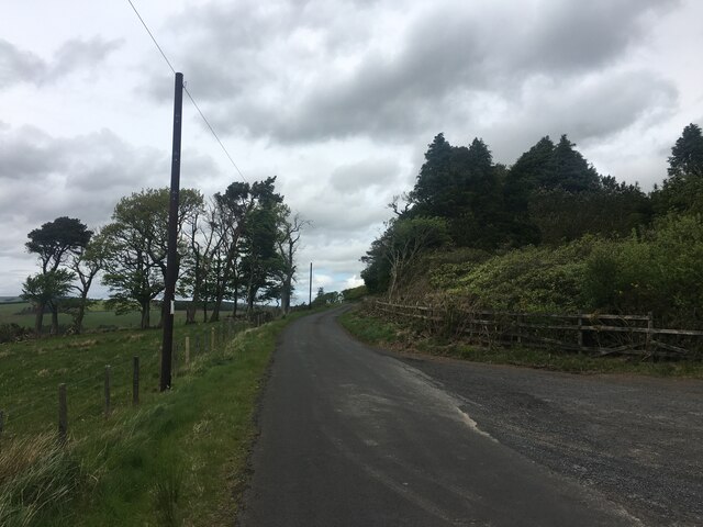
Ash Wood is a picturesque forest located in the rural area of Berwickshire, Scotland. Covering an expansive area of approximately 500 acres, this enchanting woodland is a haven for nature enthusiasts and outdoor enthusiasts alike. The name "Ash Wood" is derived from the abundance of ash trees that flourish within its boundaries, lending an ethereal beauty to the landscape.
The forest boasts a diverse range of flora and fauna, providing a thriving ecosystem for various species. Visitors can expect to encounter a plethora of wildlife, including red squirrels, roe deer, and a variety of bird species. The tranquil atmosphere and untouched beauty of the wood make it an ideal destination for birdwatchers, as it serves as a habitat for rare and migratory birds.
Ash Wood offers numerous trails and paths that wind through its dense foliage, making it a popular destination for hikers and nature lovers. These well-maintained trails cater to all levels of fitness, ensuring that visitors of any age or ability can explore the forest at their own pace. Additionally, the wood features designated picnic areas, allowing visitors to rest and enjoy the serenity of their surroundings.
The forest is also of historical significance, with remnants of ancient settlements and archaeological sites scattered throughout. These remnants provide a glimpse into the rich history of the area, adding an extra layer of intrigue to the wood's allure.
Whether it's to immerse oneself in the beauty of nature, observe wildlife, or delve into history, Ash Wood in Berwickshire offers a truly captivating experience for all who visit.
If you have any feedback on the listing, please let us know in the comments section below.
Ash Wood Images
Images are sourced within 2km of 55.818336/-2.4506168 or Grid Reference NT7158. Thanks to Geograph Open Source API. All images are credited.


Ash Wood is located at Grid Ref: NT7158 (Lat: 55.818336, Lng: -2.4506168)
Unitary Authority: The Scottish Borders
Police Authority: The Lothians and Scottish Borders
What 3 Words
///aviators.mere.rationed. Near Duns, Scottish Borders
Related Wikis

Dye Water
The Dye Water (Scottish Gaelic: Uisge Dhàidh) is a river in the Lammermuir Hills in the Scottish Borders area of Scotland. It rises in the Hope Hills,...

Longformacus House
Longformacus House is a mansion near the village of Longformacus, Scottish Borders, Scotland. == History == The estate was once owned by the Earls of...

Longformacus
Longformacus (Scottish Gaelic: Longphort Mhacais) is a small village in Berwickshire in the Scottish Borders area of Scotland. It is around 10 kilometres...
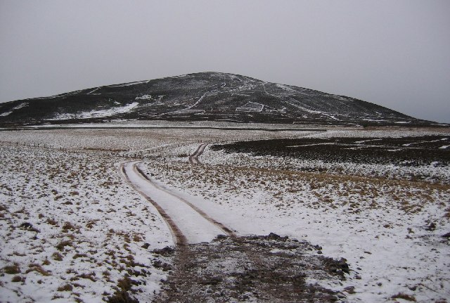
Dirrington Great Law
Dirrington Great Law is a hill in the Scottish Borders area of Scotland, in the former county of Berwickshire. The summit is around 2.5 kilometres (1.6...
Nearby Amenities
Located within 500m of 55.818336,-2.4506168Have you been to Ash Wood?
Leave your review of Ash Wood below (or comments, questions and feedback).