Cushie Wood
Wood, Forest in Roxburghshire
Scotland
Cushie Wood
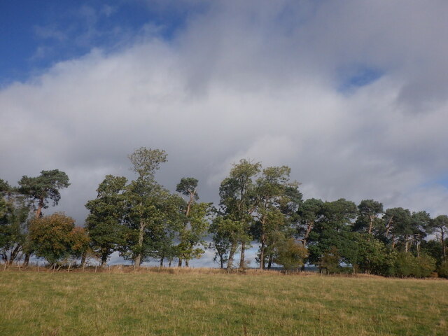
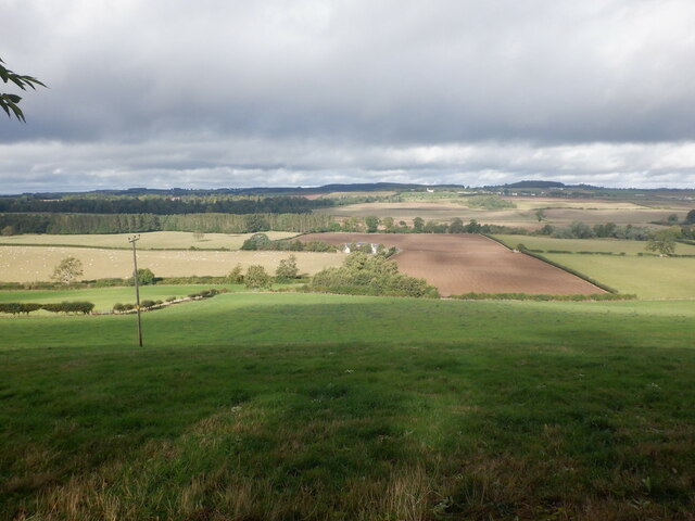
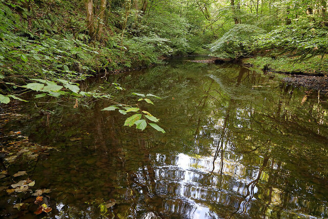
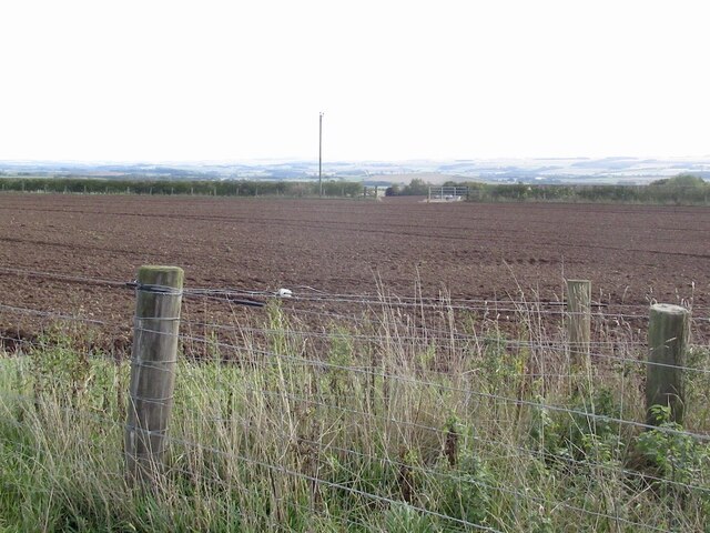
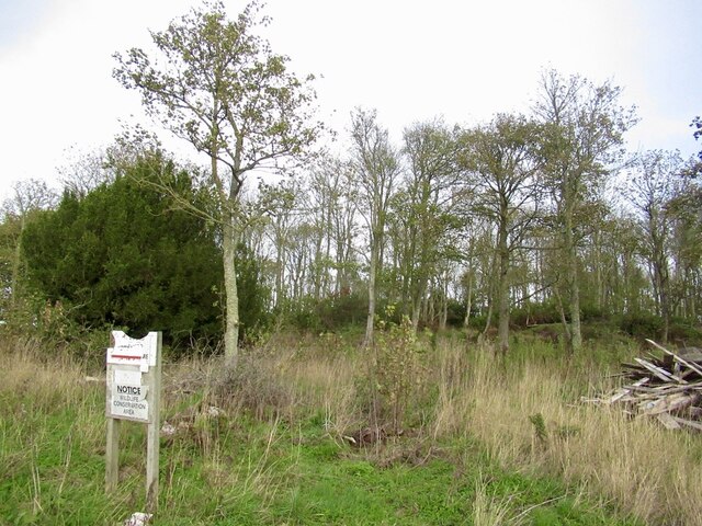
Cushie Wood is a picturesque forest located in Roxburghshire, a historic county in the Scottish Borders region of Scotland. Spread over an area of approximately 100 hectares, this woodland is well-known for its stunning natural beauty and diverse ecosystem.
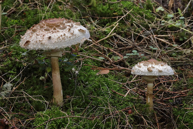
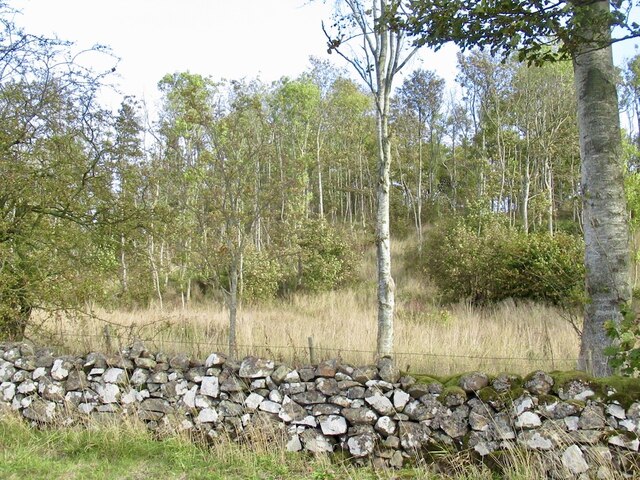
The forest is predominantly composed of native deciduous trees, such as oak, birch, and beech, which create a vibrant and colorful landscape throughout the year. The dense canopy provides a haven for a wide variety of flora and fauna, making Cushie Wood a popular destination for nature enthusiasts and wildlife photographers.
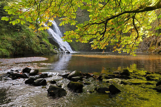
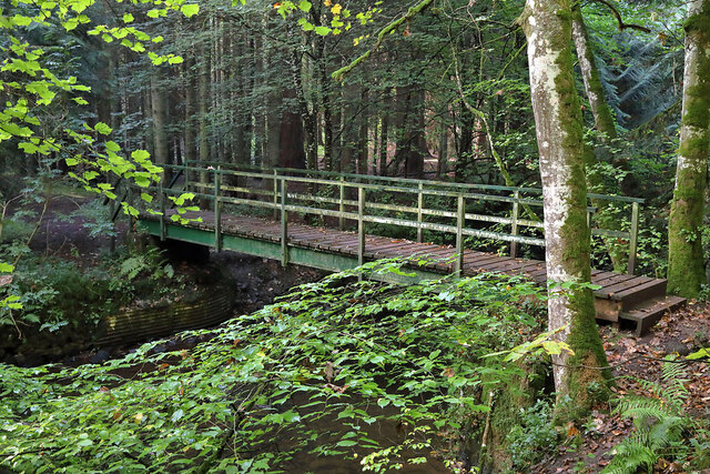
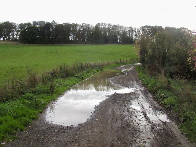
Tranquil walking trails wind their way through the forest, offering visitors the opportunity to explore the serene surroundings at their own pace. These paths meander alongside babbling streams and lead to charming clearings, providing ample space for picnics or simply enjoying the peaceful ambiance.
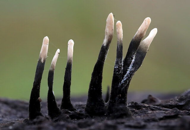
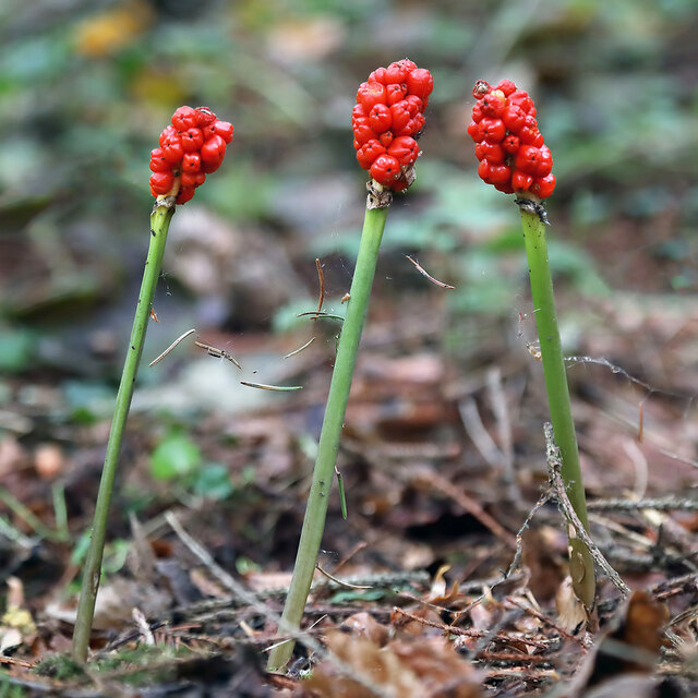
Cushie Wood is also home to a rich assortment of wildlife. Red squirrels can often be spotted darting through the treetops, while the patient observer may catch a glimpse of elusive deer or even the occasional otter near the waterways. Birdwatchers will delight in the varied avian species that inhabit the wood, including woodpeckers, owls, and various songbirds.
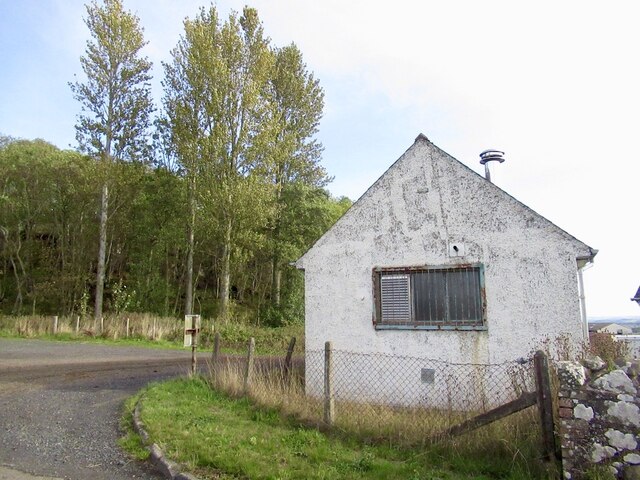
For those interested in history, the forest holds remnants of its past. Ancient ruins and archaeological sites can be found within the woodland, offering a glimpse into the area's historical significance and providing an intriguing backdrop to the natural surroundings.
Overall, Cushie Wood is a captivating destination for nature lovers, offering a tranquil escape and an opportunity to immerse oneself in the beauty of Scotland's woodlands.
If you have any feedback on the listing, please let us know in the comments section below.
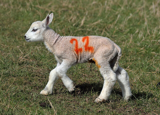
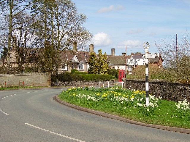
Cushie Wood Images
Images are sourced within 2km of 55.634268/-2.4524559 or Grid Reference NT7137. Thanks to Geograph Open Source API. All images are credited.

Cushie Wood is located at Grid Ref: NT7137 (Lat: 55.634268, Lng: -2.4524559)
Unitary Authority: The Scottish Borders
Police Authority: The Lothians and Scottish Borders
What 3 Words
///limp.puns.rolled. Near Kelso, Scottish Borders
Nearby Locations
Related Wikis
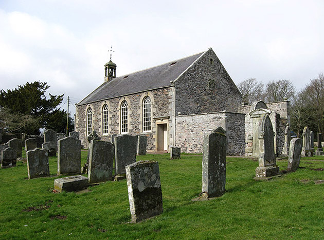
Stichill Kirk
Stichill Kirk is an ancient church situated in the village of Stichill in the old county of Roxburghshire, now part of the Scottish Borders Council in...
Stichill
Stichill is a village and civil parish in the historic county of Roxburghshire, a division of the Scottish Borders. Situated 2 miles (3.2 km) north of...

Ednam Church
Ednam Church is a member church (Scots: kirk) of the Church of Scotland and is co–joined with Kelso North Church in Kelso. Ednam is in the old county of...
Ednam
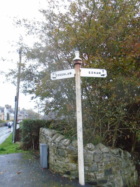
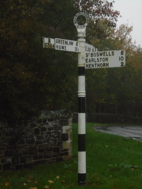
Ednam is a small village near Kelso in the Scottish Borders area of Scotland. Places nearby include Stichill, Sprouston, Nenthorn, Eccles, Gordon, Greenlaw...

Kelso Racecourse
Kelso Racecourse is a thoroughbred horse racing venue located in Kelso, Scotland. Frequently described as "Britain's Friendliest Racecourse", the racecourse...
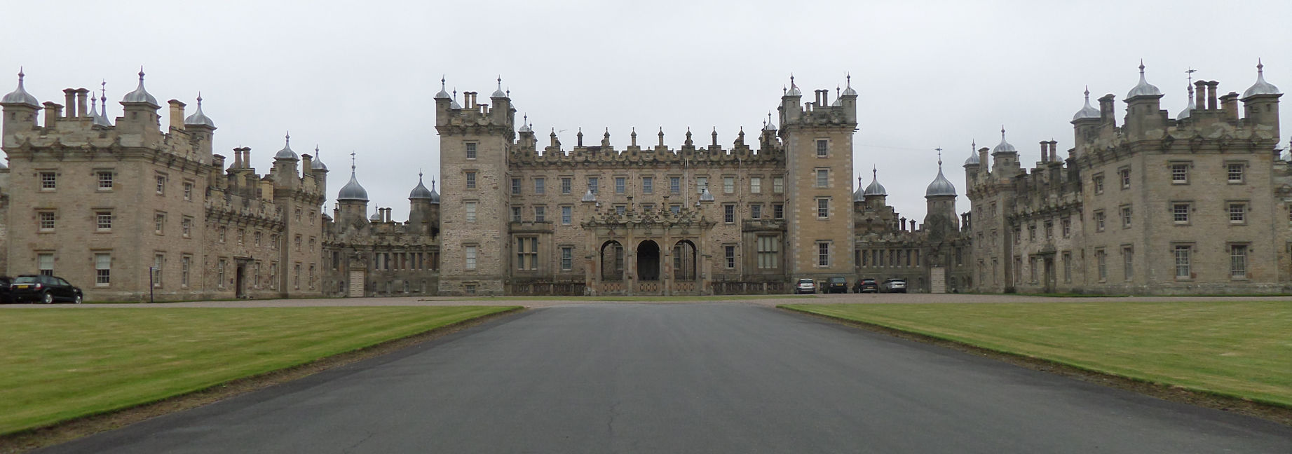
Floors Castle
Floors Castle, in Roxburghshire, south-east Scotland, is the seat of the Duke of Roxburghe. Despite its name it is an estate house rather than a fortress...

Nenthorn
Nenthorn is a parish and hamlet in the south of the historic county of Berwickshire in the Scottish Borders area of Scotland. It is included in the Floors...

Hume Castle
Hume Castle is the heavily modified remnants of a late 12th- or early 13th-century castle of enceinte held by the powerful Hume or Home family, Wardens...
Nearby Amenities
Located within 500m of 55.634268,-2.4524559Have you been to Cushie Wood?
Leave your review of Cushie Wood below (or comments, questions and feedback).