Boghead Wood

Wood, Forest in Aberdeenshire

Scotland

Boghead Wood

War Memorial at Blairdaff A memorial in the grounds of the ruined church at Blairdaff.
War Memorial at Blairdaff Credit: Andrew Wood

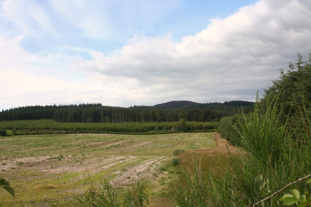
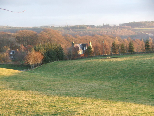
Boghead Wood is a charming forest located in Aberdeenshire, Scotland. Covering an area of approximately 100 acres, it is a haven for nature lovers and outdoor enthusiasts alike. The wood is situated just a few miles south of the town of Turriff, making it easily accessible for both locals and tourists.

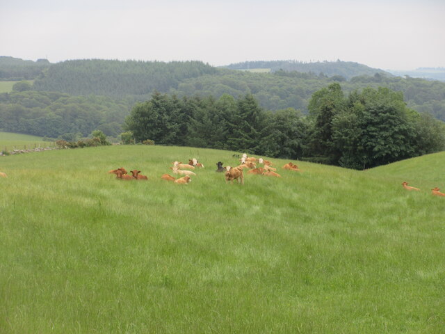
The woodland is predominantly made up of native Scottish tree species, including oak, birch, and pine, which provide a picturesque and diverse landscape. The forest floor is covered with a variety of wildflowers, creating a vibrant and colorful display during the spring and summer months.

Boghead Wood is home to a rich array of wildlife, including red squirrels, roe deer, and a wide variety of bird species. Birdwatchers can spot woodpeckers, owls, and even ospreys in this natural habitat. The woodland also has a small pond, attracting various amphibians and insects.

The network of trails within Boghead Wood allows visitors to explore its beauty at their own pace. These well-maintained paths provide opportunities for walking, jogging, or simply enjoying a peaceful stroll. Picnic areas are scattered throughout the wood, offering visitors a chance to relax and take in the serene surroundings.

The wood is managed by a local conservation group, ensuring the preservation of its natural beauty and protecting the wildlife that calls it home. Boghead Wood truly offers a tranquil escape from the hustle and bustle of everyday life, providing a wonderful opportunity to connect with nature.

If you have any feedback on the listing, please let us know in the comments section below.
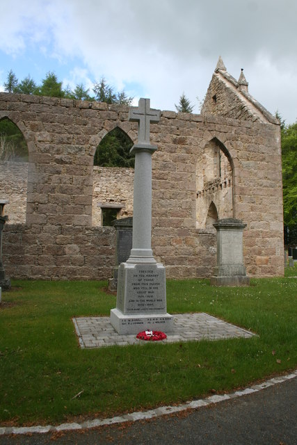
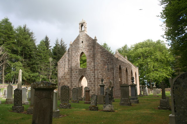
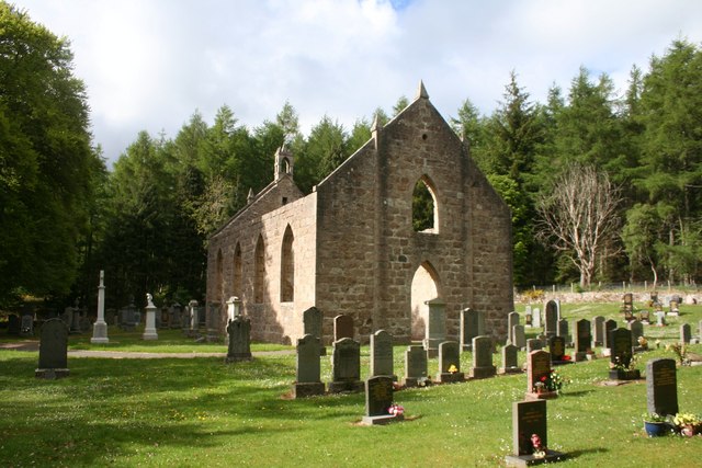
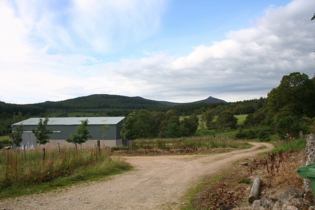
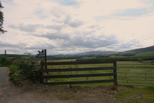
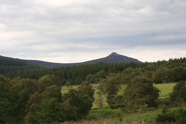
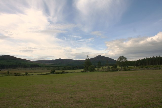
Boghead Wood Images

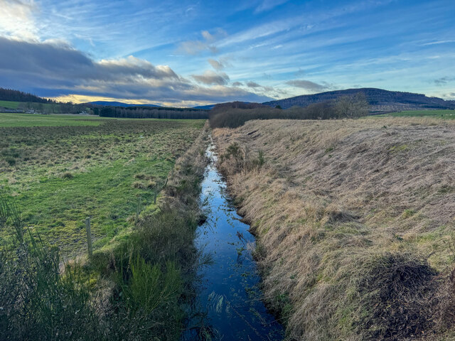
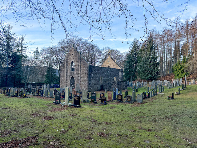
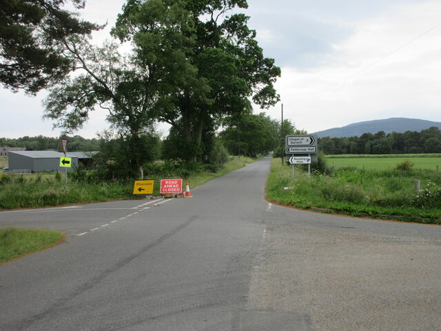
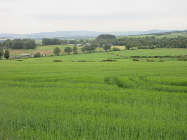
Images are sourced within 2km of 57.259066/-2.4862532 or Grid Reference NJ7018. Thanks to Geograph Open Source API. All images are credited.

War Memorial at Blairdaff A memorial in the grounds of the ruined church at Blairdaff.
War Memorial at Blairdaff
A memorial in the grounds of the ruined church at Blairdaff.
Blairdaff Church The ruinous church at Blairdaff.
Blairdaff Church
The ruinous church at Blairdaff.
Blairdaff Churchyard The churchyard and earview of the ruined church at Blairdaff.
Blairdaff Churchyard
The churchyard and earview of the ruined church at Blairdaff.
Farmland by Bairdaff Fields by woodland at Blairdaff with Scare Hill behind.
Farmland by Bairdaff
Fields by woodland at Blairdaff with Scare Hill behind.
Fairview Farm Fairview farm by Blairdaff.
Fairview Farm
Fairview farm by Blairdaff.
Fairview Farm Sign The roadside sign for Fairview Farm beside a field gate.
Fairview Farm Sign
The roadside sign for Fairview Farm beside a field gate.
The View at Fairview A view over farmland and woodland to Bennachie from the appropriately named Fairview.
The View at Fairview
A view over farmland and woodland to Bennachie from the appropriately named Fairview.
Trees Felled Forestry operations in a roadside clearing at Whitehill Wood.
Trees Felled
Forestry operations in a roadside clearing at Whitehill Wood.
Field Before Bennachie Farmland by Whitehill Woods with Bennachie in the distance.
Field Before Bennachie
Farmland by Whitehill Woods with Bennachie in the distance.
Douchries and Millstone Farmland to Douchries Farm with Millstone Hill behind.
Douchries and Millstone
Farmland to Douchries Farm with Millstone Hill behind.
Farmland to Scarehill Open farmland between Whitehill Wood and Scare Hill.
Farmland to Scarehill
Open farmland between Whitehill Wood and Scare Hill.
Scottish Water stuff
Burn of Blairdaff Geocaching is a type of global treasure hunt of people looking for caches, or hidden stashes of objects. Geocaching may also be described as a series of hide-and-seek games, where hiders provide online clues for seekers. Seekers use global positioning system (GPS) devices to find hidden caches
Burn of Blairdaff
Geocaching is a type of global treasure hunt of people looking for caches, or hidden stashes of objects. Geocaching may also be described as a series of hide-and-seek games, where hiders provide online clues for seekers. Seekers use global positioning system (GPS) devices to find hidden caches
Blairdaff kirk Geocaching is a type of global treasure hunt of people looking for caches, or hidden stashes of objects. Geocaching may also be described as a series of hide-and-seek games, where hiders provide online clues for seekers. Seekers use global positioning system (GPS) devices to find hidden caches
Blairdaff kirk
Geocaching is a type of global treasure hunt of people looking for caches, or hidden stashes of objects. Geocaching may also be described as a series of hide-and-seek games, where hiders provide online clues for seekers. Seekers use global positioning system (GPS) devices to find hidden caches
Road closed and diversion Road closed heading west near Fetternear Hall.
Road closed and diversion
Road closed heading west near Fetternear Hall.
Green field near Overton Looking south over fields and distant Aberdeenshire, near Overton.
Green field near Overton
Looking south over fields and distant Aberdeenshire, near Overton.
Resting cattle Cattle lying down in a field at West Aquhorthies.
Resting cattle
Cattle lying down in a field at West Aquhorthies.
Farm Building A farm building by the Hervie Burn perhaps once a cottage judging by the outhouses now a disused stable or barn.
Farm Building
A farm building by the Hervie Burn perhaps once a cottage judging by the outhouses now a disused stable or barn.
Show me another place!

Boghead Wood is located at Grid Ref: NJ7018 (Lat: 57.259066, Lng: -2.4862532)

Unitary Authority: Aberdeenshire

Police Authority: North East

What 3 Words

///crispier.gown.rocker. Near Kemnay, Aberdeenshire

Nearby Locations

Boghead Wood

Related Wikis

Nearby Amenities

Located within 500m of 57.259066,-2.4862532
Power: pole
Lat/Long: 57.2557339/-2.4900998
Power: pole
Lat/Long: 57.2549515/-2.4875063
Power: pole
Lat/Long: 57.2553897/-2.4865023
Power: pole
Lat/Long: 57.2556505/-2.4858969
Power: pole
Lat/Long: 57.2560733/-2.4849083
Power: pole
Lat/Long: 57.2564853/-2.4839308
Power: pole
Lat/Long: 57.2567592/-2.4833804
Power: pole
Lat/Long: 57.2573177/-2.4822422
Power: pole
Lat/Long: 57.2575844/-2.4817028
Power: pole
Lat/Long: 57.2579702/-2.4810049
Power: pole
Lat/Long: 57.2585382/-2.4800186
Power: pole
Lat/Long: 57.2590919/-2.4790388
Power: pole
Lat/Long: 57.2591157/-2.4807781
Power: pole
Lat/Long: 57.2591883/-2.4801242
Power: pole
Lat/Long: 57.259542/-2.480864
Power: pole
Lat/Long: 57.2599349/-2.4809388
Power: pole
Lat/Long: 57.2596134/-2.4781296
Power: pole
Lat/Long: 57.2575543/-2.4788337
Power: pole
Lat/Long: 57.2581612/-2.4788603
Noexit: yes
Lat/Long: 57.2552805/-2.4853201
The data included in this document is from www.openstreetmap.org. The data is made available under ODbL.

Have you been to Boghead Wood?

Leave your review of Boghead Wood below (or comments, questions and feedback).