Quarrypark Wood

Wood, Forest in Aberdeenshire

Scotland

Quarrypark Wood

Bruckhills Barns or byres at the farm of Bruckhills. The house is sited to the south, in the shelter of the buildings and with a fine view to the south.
Bruckhills Credit: Anne Burgess

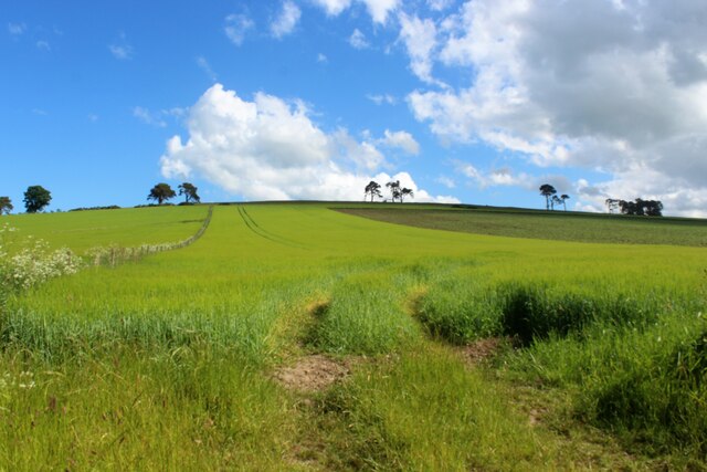
Quarrypark Wood is a stunning forest located in Aberdeenshire, Scotland. Covering an area of approximately 50 acres, this woodland is a true natural gem that offers visitors a peaceful and enchanting escape from the hustle and bustle of city life.

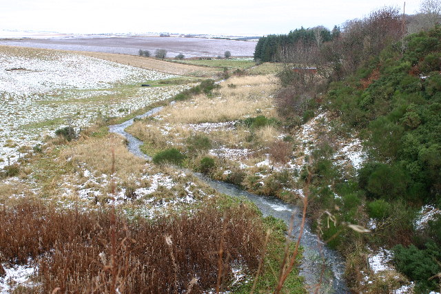
The wood is characterized by its dense and lush vegetation, with a wide variety of tree species such as oak, birch, and pine dominating the landscape. The forest floor is adorned with a rich carpet of ferns, mosses, and wildflowers, creating a vibrant and colorful atmosphere.

Traversing the wood, visitors will find a network of well-maintained trails and pathways that wind through the forest, allowing for leisurely walks and hikes. These paths are suitable for all levels of fitness, making Quarrypark Wood a popular destination for families, nature enthusiasts, and avid walkers alike.

Wildlife thrives within the wood, and visitors may catch glimpses of native species such as red squirrels, roe deer, and a variety of bird species. The tranquil environment also serves as a habitat for numerous insects, including butterflies and dragonflies, adding to the biodiversity of the woodland.

Quarrypark Wood is not only a haven for flora and fauna but also holds historical significance. The wood was once a working quarry, providing stone for local construction projects. Today, remnants of the quarry can still be seen, adding an interesting aspect to the woodland's charm.

Overall, Quarrypark Wood in Aberdeenshire is a captivating forest that offers visitors the chance to immerse themselves in the beauty of nature, explore its history, and enjoy the serenity it provides.

If you have any feedback on the listing, please let us know in the comments section below.

Quarrypark Wood Images

Images are sourced within 2km of 57.439647/-2.488864 or Grid Reference NJ7038. Thanks to Geograph Open Source API. All images are credited.

Bruckhills Barns or byres at the farm of Bruckhills. The house is sited to the south, in the shelter of the buildings and with a fine view to the south.
Bruckhills
Barns or byres at the farm of Bruckhills. The house is sited to the south, in the shelter of the buildings and with a fine view to the south.
Crops by Bruckhils What appears to be rape seed growing near Bruckhills.
Crops by Bruckhils
What appears to be rape seed growing near Bruckhills.
Wind turbine There are now (June 2018) over 800 wind turbines in Aberdeenshire and here is one of them in open countryside west of Fyvie.
Wind turbine
There are now (June 2018) over 800 wind turbines in Aberdeenshire and here is one of them in open countryside west of Fyvie.
Old Milestone by the B9001, Crofts of Netherthird, Fyvie parish Double bevel milestone by the B9001, in parish of Fyvie (Grampian District), East of Crofts of Netherthird, on verge, on straight near field gate, West side of road.

Inscription reads:-
: A / 29 : : I / 13 :
(To Aberdeen and Inverurie)
 
Surveyed

Milestone Society National ID: AD_ADIU29
Old Milestone by the B9001, Crofts of Netherthird, Fyvie parish
Double bevel milestone by the B9001, in parish of Fyvie (Grampian District), East of Crofts of Netherthird, on verge, on straight near field gate, West side of road. Inscription reads:- : A / 29 : : I / 13 : (To Aberdeen and Inverurie) Surveyed Milestone Society National ID: AD_ADIU29
Woodland Track An access track in woodland on the lower slopes of Gordonstown Hill.
Woodland Track
An access track in woodland on the lower slopes of Gordonstown Hill.
Woodland Clearing A small clearing at the end of a track in a plantation on Gordonstown Hill.
Woodland Clearing
A small clearing at the end of a track in a plantation on Gordonstown Hill.
North on the B992 North beside woodland on the B992 towards Auchterless.
North on the B992
North beside woodland on the B992 towards Auchterless.
Badenscoth Crossroad The junction of the B992 and B9001 at Badenscoth.
Badenscoth Crossroad
The junction of the B992 and B9001 at Badenscoth.
Crops and Trees by Drumsinnie A crop line leading uphill toward trees on the hilltop at Drunsinnie.
Crops and Trees by Drumsinnie
A crop line leading uphill toward trees on the hilltop at Drunsinnie.
Templand Road The access road to Templand.
Templand Road
The access road to Templand.
Knockleith Farm With stubble fields in the foreground the farm of Knockleith by Cushnie.
Knockleith Farm
With stubble fields in the foreground the farm of Knockleith by Cushnie.
Minor road near Thorneybank
The view towards Upper Darley farm.... ...along a typical single-track road with characteristic wind turbines in the background.
The view towards Upper Darley farm....
...along a typical single-track road with characteristic wind turbines in the background.
Upper Darley farm... ...surrounded by typical rolling countryside in this part of Aberdeenshire.
Upper Darley farm...
...surrounded by typical rolling countryside in this part of Aberdeenshire.
Old Milestone by the B9001 near Badenscoth Double bevel by the B9001, in parish of Fyvie (Grampian District), opposite junction with lane to Fyvie, on verge opposite junction sign.

Inscription reads:-
In
12
(To Inverurie) 

Surveyed

Milestone Society National ID: AD_ADIU28
Old Milestone by the B9001 near Badenscoth
Double bevel by the B9001, in parish of Fyvie (Grampian District), opposite junction with lane to Fyvie, on verge opposite junction sign. Inscription reads:- In 12 (To Inverurie) Surveyed Milestone Society National ID: AD_ADIU28
Looking towards Bruckhills
River Ythan Looking N (downstream) from position
River Ythan
Looking N (downstream) from position
River Ythan Looking S (upstream) from position
River Ythan
Looking S (upstream) from position
Show me another place!

Quarrypark Wood is located at Grid Ref: NJ7038 (Lat: 57.439647, Lng: -2.488864)

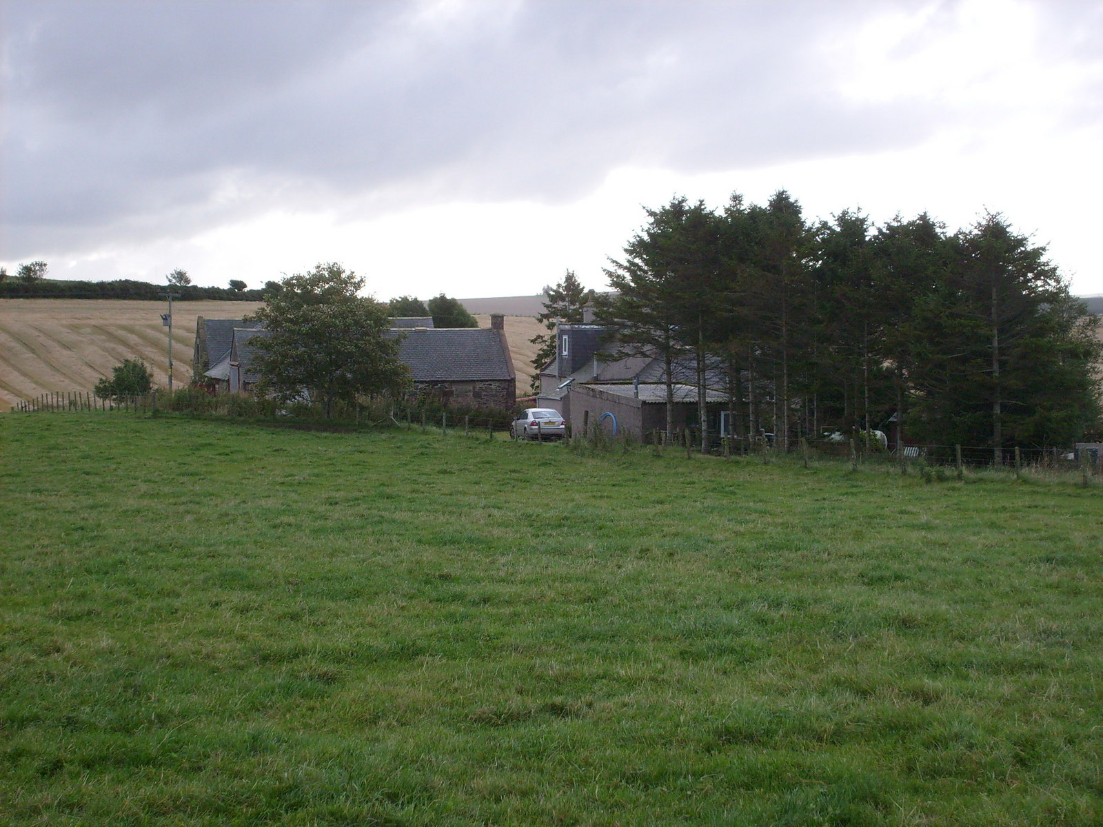
Unitary Authority: Aberdeenshire

Police Authority: North East

What 3 Words

///likely.broker.assess. Near Rothienorman, Aberdeenshire

Nearby Locations

Quarrypark Wood Badenscoth

Related Wikis

Badenscoth

Badenscoth (Scottish Gaelic: Bad nan Sgoth) is a rural area near Auchterless in Aberdeenshire, Scotland. == References ==

Auchterless

Auchterless (Scottish Gaelic: Uachdar Leasa, meaning the "Upper Part of Less") is a village in Aberdeenshire, Scotland; grid reference NJ 713 416, postcode...

Auldyoch

Auldyoch is a farm in Aberdeenshire, Scotland. == References ==

Rothienorman

Rothienorman is a village in Aberdeenshire in north east Scotland. The local economy is based primarily on farming, whilst services are provided by a mobile...

Rothienorman railway station

Rothienorman railway station, Rothie or Rothie Norman was a railway station in Rothienorman, Aberdeenshire on the rural branchline to Macduff. It lay 7...
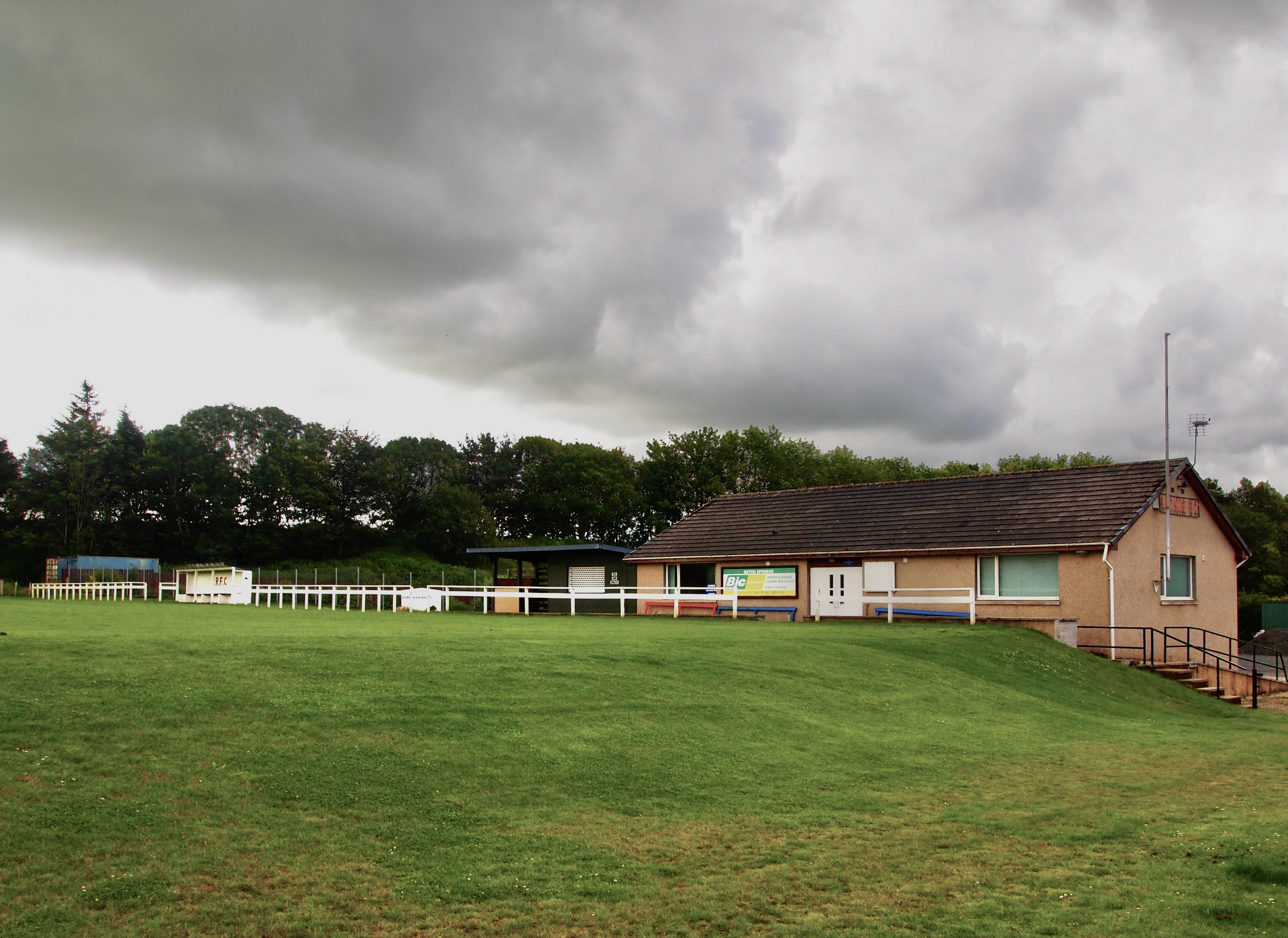
Rothie Rovers F.C.

Rothie Rovers are a Scottish football club from the village of Rothienorman in Aberdeenshire. They are members of the North Region of the Scottish Junior...

Banff and Buchan (UK Parliament constituency)

Banff and Buchan is a constituency of the House of Commons, located in the north-east of Scotland within the Aberdeenshire council area. It elects one...

Fyvie railway station

Fyvie railway station was a railway station near Fyvie, Aberdeenshire. It served the rural area and Fyvie Castle, but lay about 1 mile (1.6 km) from the...

Nearby Amenities

Located within 500m of 57.439647,-2.488864
Power: pole
Lat/Long: 57.4367678/-2.4947825
Power: pole
Lat/Long: 57.4365068/-2.494101
Power: pole
Lat/Long: 57.4363164/-2.4930809
Power: pole
Lat/Long: 57.436113/-2.4920281
Power: pole
Lat/Long: 57.4358872/-2.4908616
Power: pole
Lat/Long: 57.4357132/-2.4899202
Power: pole
Lat/Long: 57.435471/-2.4886532
Power: pole
Lat/Long: 57.43523/-2.4873623
Power: pole
Lat/Long: 57.4364939/-2.4912351
Power: pole
Lat/Long: 57.4370194/-2.4908223
Power: pole
Lat/Long: 57.4375449/-2.4904226
Power: pole
Lat/Long: 57.4362298/-2.485616
Power: pole
Lat/Long: 57.4364095/-2.4863388
Power: pole
Lat/Long: 57.4366031/-2.4870868
Power: pole
Lat/Long: 57.4367957/-2.4878287
Power: pole
Lat/Long: 57.4369794/-2.4884632
Power: pole
Lat/Long: 57.4371264/-2.4890508
Power: pole
Lat/Long: 57.4373016/-2.489693
Power: pole
Lat/Long: 57.4376096/-2.4911652
Power: pole
Lat/Long: 57.4376978/-2.4919057
Power: pole
Lat/Long: 57.4377624/-2.4926266
Power: pole
Lat/Long: 57.4378271/-2.4933408
Power: pole
Lat/Long: 57.4381915/-2.493592
Power: pole
Lat/Long: 57.4385736/-2.4938542
Power: pole
Lat/Long: 57.4372077/-2.4875068
Power: pole
Lat/Long: 57.4376197/-2.4872064
The data included in this document is from www.openstreetmap.org. The data is made available under ODbL.

Have you been to Quarrypark Wood?

Leave your review of Quarrypark Wood below (or comments, questions and feedback).