Chapel Mains

Settlement in Roxburghshire

Scotland

Chapel Mains

Woodland, Chapel on Leader Above a layby on the A86. Very green for November due to the very warm Autumn.
Woodland, Chapel on Leader Credit: Richard Webb

Chapel Mains is a small rural community located in the county of Roxburghshire, Scotland. Situated in the beautiful Scottish Borders region, Chapel Mains offers a peaceful and picturesque setting for its residents and visitors alike.

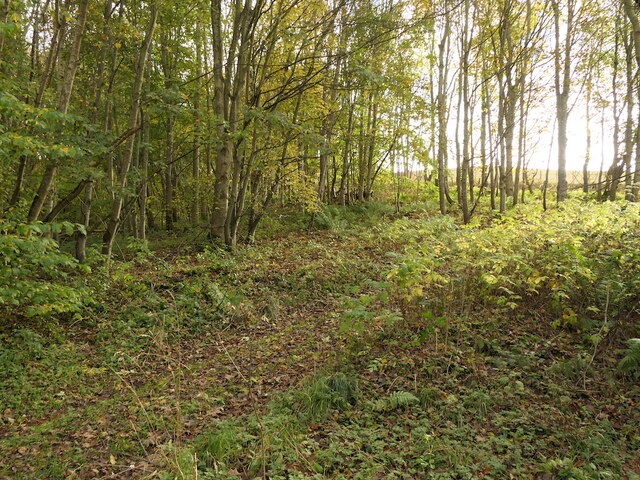
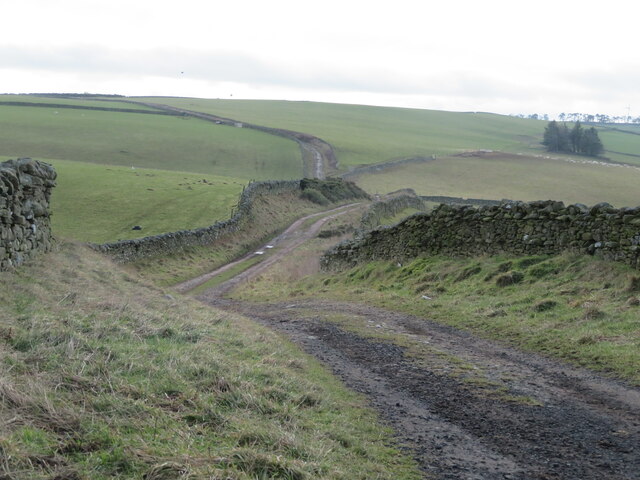
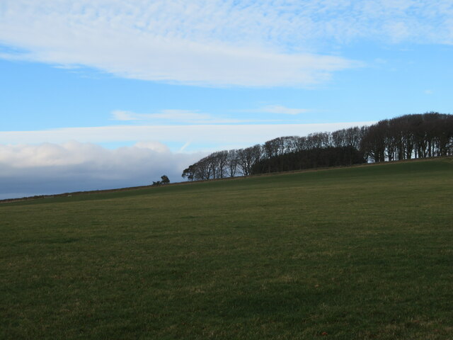
The village is surrounded by rolling hills and stunning countryside, providing ample opportunities for outdoor activities such as hiking, cycling, and fishing. The nearby River Teviot adds to the natural beauty of the area, and its banks are ideal for relaxing picnics or gentle strolls.

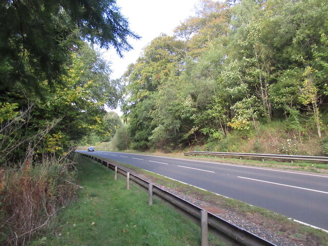
Despite its rural setting, Chapel Mains benefits from good transport links, with the A698 road passing through the village, connecting it to nearby towns and cities. The village itself is small, with a close-knit community that takes pride in preserving its heritage and traditions.

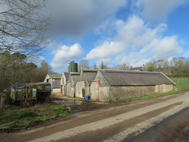
The focal point of Chapel Mains is the historic chapel, which dates back to the medieval period. This architectural gem is a testament to the village's rich history and serves as a gathering place for religious ceremonies and community events.

Although there are no major commercial establishments within Chapel Mains, nearby towns provide essential amenities such as shops, schools, and healthcare facilities. This allows residents to enjoy the tranquility of village life while still having access to necessary services.

In summary, Chapel Mains is an idyllic rural village in Roxburghshire, Scotland, offering a peaceful and scenic environment. With its rich history, stunning natural landscapes, and close-knit community, Chapel Mains is a delightful place to call home or visit for those seeking a retreat from the hustle and bustle of city life.

If you have any feedback on the listing, please let us know in the comments section below.

Chapel Mains Images

Images are sourced within 2km of 55.669407/-2.7169799 or Grid Reference NT5542. Thanks to Geograph Open Source API. All images are credited.

Woodland, Chapel on Leader Above a layby on the A86. Very green for November due to the very warm Autumn.
Woodland, Chapel on Leader
Above a layby on the A86. Very green for November due to the very warm Autumn.
A68 north of Earlston It is possible to walk inside the Armco, which is a comfort.
A68 north of Earlston
It is possible to walk inside the Armco, which is a comfort.
New house at Springfield Adjacent to Fordswell farm.
New house at Springfield
Adjacent to Fordswell farm.
The Southern Upland Way at Bluecairn Looking south over a landscape of pastures and drystone walls.
The Southern Upland Way at Bluecairn
Looking south over a landscape of pastures and drystone walls.
Landscape at Bluecairn Looking southwest from Bluecairn over an expanse of grassy farmland. The forestry in the distance is on Ladhope Moor.
Landscape at Bluecairn
Looking southwest from Bluecairn over an expanse of grassy farmland. The forestry in the distance is on Ladhope Moor.
Southern Upland Way signpost By a shelter belt at a crossroads near Bluecairn.
Southern Upland Way signpost
By a shelter belt at a crossroads near Bluecairn.
Pasture at Jeaniefield Looking over the pasture to a hill top plantation.
Pasture at Jeaniefield
Looking over the pasture to a hill top plantation.
Crop field at Cocklee Most likely winter wheat.
Crop field at Cocklee
Most likely winter wheat.
Kedzlie Farm entrance With decorative gate pillars, and a small rookery in the trees above.
Kedzlie Farm entrance
With decorative gate pillars, and a small rookery in the trees above.
Kedzlie Farm buildings On some map scales the farm name is spelled 'Kedslie'.
Kedzlie Farm buildings
On some map scales the farm name is spelled 'Kedslie'.
Kedzlie Farm buildings With a collecting area at the entrance from the road.
Kedzlie Farm buildings
With a collecting area at the entrance from the road.
Farm buildings at Kedzlie Farm Downhill from the main farm buildings, by the Kedslie Burn, so possibly there may have been a mill there in the past.
Farm buildings at Kedzlie Farm
Downhill from the main farm buildings, by the Kedslie Burn, so possibly there may have been a mill there in the past.
Bridge over Leader Water A metal span with a decorative wooden overlay. The track leads from the A68 to Chapel on Leader across the river.
Bridge over Leader Water
A metal span with a decorative wooden overlay. The track leads from the A68 to Chapel on Leader across the river.
The Leader Water Looking downstream, through a lattice of the bridge over, at Chapel on Leader.
The Leader Water
Looking downstream, through a lattice of the bridge over, at Chapel on Leader.
Pasture at Chapel on Leader Looking down the valley of the Leader Water, from the bridge over.
Pasture at Chapel on Leader
Looking down the valley of the Leader Water, from the bridge over.
The Leader Water at Chapel on Leader Looking upstream from the bridge over, with a steep wooded bank on the east side of the valley.
The Leader Water at Chapel on Leader
Looking upstream from the bridge over, with a steep wooded bank on the east side of the valley.
Minor road near Birkenside
Gated track near Chapel on Leader
Show me another place!

Chapel Mains is located at Grid Ref: NT5542 (Lat: 55.669407, Lng: -2.7169799)

Unitary Authority: The Scottish Borders

Police Authority: The Lothians and Scottish Borders

What 3 Words

///dame.dirt.variances. Near Earlston, Scottish Borders

Nearby Locations

Chapel Mains

Related Wikis

Birkenside, Scottish Borders

Birkenside is a village in the Scottish Borders, Scotland.

Carolside, Scottish Borders

Carolside is an estate by the Leader Water, in the Scottish Borders. It is located one mile (1.6 km) north of Earlston, in the former county of Berwickshire...

Whitslaid Tower

Whitslaid Tower was an ancient Berwickshire seat of the Lauder family for over 300 years. It is today a ruin high above the eastern bank of the Leader...

Legerwood

Legerwood is a village by the Eden Water, in the Scottish Borders area of Scotland, near Lauder, near the Southern Upland Way. Legerwood Kirk is outside...

Nearby Amenities

Located within 500m of 55.669407,-2.7169799
Chapel Mains
Place: isolated_dwelling
Lat/Long: 55.6734092/-2.7149176
Cocklee
Place: isolated_dwelling
Lat/Long: 55.6665063/-2.7210137
Hawickshiel
Place: hamlet
Lat/Long: 55.672119/-2.7156643
Power: pole
Lat/Long: 55.66863/-2.7096316
Power: pole
Lat/Long: 55.6694376/-2.7099264
Power: pole
Lat/Long: 55.6702675/-2.7102248
Power: pole
Lat/Long: 55.6706028/-2.7109408
Power: pole
Lat/Long: 55.6713618/-2.7112799
Power: pole
Lat/Long: 55.672/-2.7115593
Power: pole
Lat/Long: 55.6726896/-2.7118584
Power: pole
Lat/Long: 55.66647/-2.7145645
Power: pole
Lat/Long: 55.6664585/-2.7160152
Power: pole
Lat/Long: 55.6664485/-2.7175143
Power: pole
Lat/Long: 55.6664313/-2.7189294
Power: pole
Lat/Long: 55.6664198/-2.720515
The data included in this document is from www.openstreetmap.org. The data is made available under ODbL.

Have you been to Chapel Mains?

Leave your review of Chapel Mains below (or comments, questions and feedback).