South Bank Wood

Wood, Forest in Berwickshire

Scotland

South Bank Wood

Benchmark, Longformacus House Lodge Ordnance Survey benchmark, described on database at <span class="nowrap"><a title="https://www.bench-marks.org.uk/bm85346" rel="nofollow ugc noopener" href="https://www.bench-marks.org.uk/bm85346">Link</a><img style="margin-left:2px;" alt="External link" title="External link - shift click to open in new window" src="https://s1.geograph.org.uk/img/external.png" width="10" height="10"/></span>.
Benchmark, Longformacus House Lodge Credit: Becky Williamson

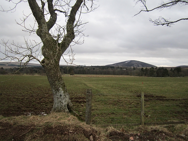
South Bank Wood is a picturesque woodland area located in Berwickshire, a county in the Scottish Borders region of Scotland. Covering an expansive area, the wood is nestled on the southern banks of the River Tweed, offering stunning views and a tranquil atmosphere for visitors.

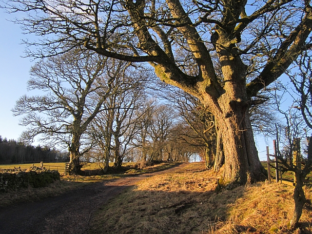
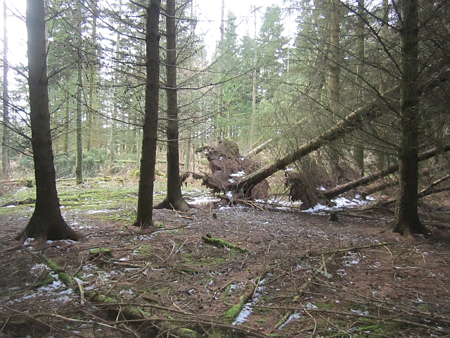
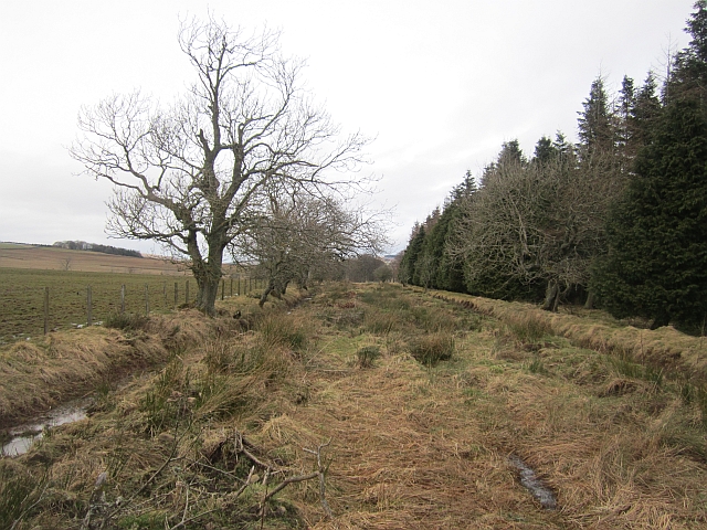
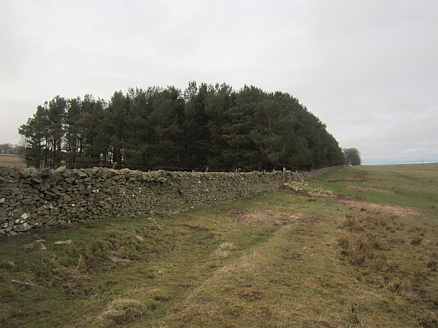
This woodland boasts a diverse range of tree species, including oak, beech, birch, and Scots pine. The mixture of deciduous and coniferous trees creates a beautiful tapestry of colors throughout the seasons, attracting nature enthusiasts and photographers alike.

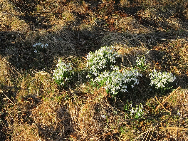
South Bank Wood is a haven for wildlife, providing a sanctuary for various species to thrive. Visitors may spot red squirrels darting among the branches, while birdwatchers can observe a plethora of avian species, including woodpeckers, thrushes, and owls. The wood is also home to a variety of wildflowers, adding a splash of color to the forest floor.

For outdoor enthusiasts, South Bank Wood offers a network of well-maintained paths and trails, allowing visitors to explore the area at their own pace. Whether seeking a leisurely stroll or a more challenging hike, there is something for everyone. Additionally, the wood offers picnic areas and benches, providing an opportunity for visitors to relax and soak in the natural beauty of the surroundings.

South Bank Wood is a hidden gem in the heart of Berwickshire, offering a serene escape from the bustle of everyday life. Its natural beauty, diverse wildlife, and recreational opportunities make it a must-visit destination for nature lovers and those seeking a peaceful retreat.

If you have any feedback on the listing, please let us know in the comments section below.

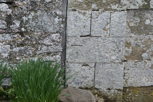
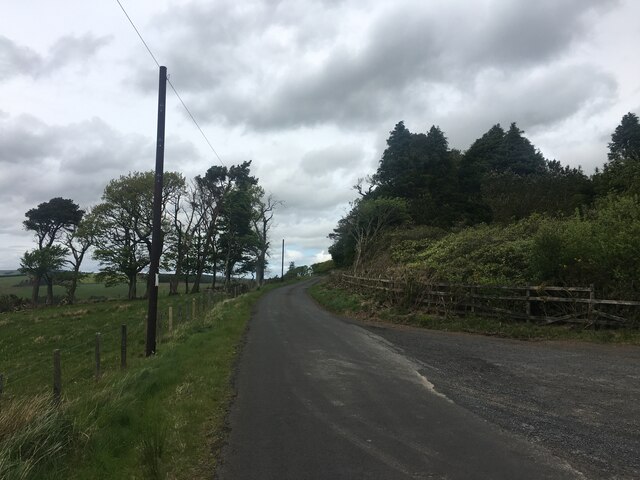
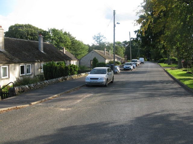
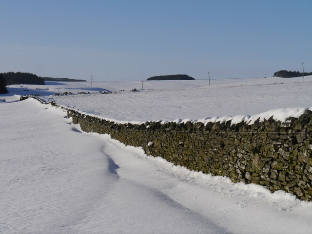
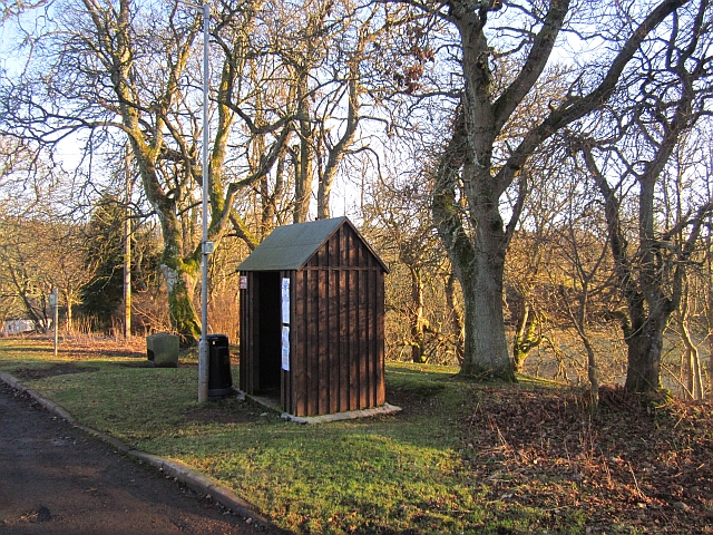
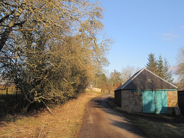
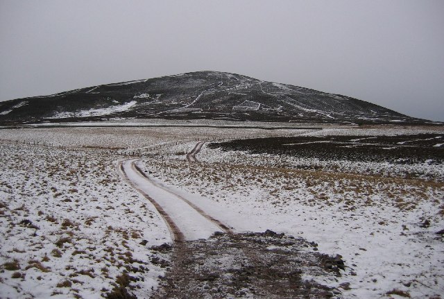
South Bank Wood Images

Images are sourced within 2km of 55.807399/-2.4820481 or Grid Reference NT6957. Thanks to Geograph Open Source API. All images are credited.

Benchmark, Longformacus House Lodge Ordnance Survey benchmark, described on database at <span class="nowrap"><a title="https://www.bench-marks.org.uk/bm85346" rel="nofollow ugc noopener" href="https://www.bench-marks.org.uk/bm85346">Link</a><img style="margin-left:2px;" alt="External link" title="External link - shift click to open in new window" src="https://s1.geograph.org.uk/img/external.png" width="10" height="10"/></span>.
Benchmark, Longformacus House Lodge
Ordnance Survey benchmark, described on database at LinkExternal link.
Minor road near Longformacus
Longformacus House Once home of Sir Robert Sinclair, a supporter of the Covenanters.
Longformacus House
Once home of Sir Robert Sinclair, a supporter of the Covenanters.
Dirrington Great Law Moorland slopes of Dirrington Great Law. The hill is quite steep.
Dirrington Great Law
Moorland slopes of Dirrington Great Law. The hill is quite steep.
Butt, Dirrington Great Law One of a line of grouse butts on the steep slopes of Dirrington Great Law.  The ballot for the guns will be interesting here, get the top butt and expect some exercise.
Butt, Dirrington Great Law
One of a line of grouse butts on the steep slopes of Dirrington Great Law. The ballot for the guns will be interesting here, get the top butt and expect some exercise.
Road Bridge on the minor road from Longformacus to Watch Water Reservoir Spans Watch Water.
Road Bridge on the minor road from Longformacus to Watch Water Reservoir
Spans Watch Water.
Longformacus Entering Longformacus from the north.
Longformacus
Entering Longformacus from the north.
Moorland beneath Dirrington Great Law Dark clouds, rain never seems to be far off.
Moorland beneath Dirrington Great Law
Dark clouds, rain never seems to be far off.
Muirburn patterns, Feuar's Moor Patterns made by moorland management for grouse. A winter version: <a href="https://www.geograph.org.uk/photo/11910">NT6955 : Muirburn patterns, Feuar's Moor</a>
Muirburn patterns, Feuar's Moor
Patterns made by moorland management for grouse. A winter version: NT6955 : Muirburn patterns, Feuar's Moor
Snow Off A Dyke Melting snow on a drystone dyke north of Longformacus on the slope of Sinclair's Hill.
Snow Off A Dyke
Melting snow on a drystone dyke north of Longformacus on the slope of Sinclair's Hill.
Bus stop, Longformacus
Manse Road, Longformacus A signposted path uses this farm access road.
Manse Road, Longformacus
A signposted path uses this farm access road.
Snowdrops, Longformacus Beside Manse Road.
Snowdrops, Longformacus
Beside Manse Road.
Manse Road
Manse Road
Ash, Muirton The road to Muirton is tree lined. The field was occupied by curlews, geese (species unknown) and peewits.
Ash, Muirton
The road to Muirton is tree lined. The field was occupied by curlews, geese (species unknown) and peewits.
Twiggy's Belt Wind thrown trees in a conifer plantation. Older maps show no woodland here, so the name may be as modern as it sounds.
Twiggy's Belt
Wind thrown trees in a conifer plantation. Older maps show no woodland here, so the name may be as modern as it sounds.
Peat Ford A wide trackway between two ditches. Other than appearing on the Scottish Borders Council core paths map, it is no longer used. If you follow this, you need to jump a few ditches running at right angles across the route and find the stiles in and out of Twiggy's Belt.
Peat Ford
A wide trackway between two ditches. Other than appearing on the Scottish Borders Council core paths map, it is no longer used. If you follow this, you need to jump a few ditches running at right angles across the route and find the stiles in and out of Twiggy's Belt.
Dyke, Redpath The woodland is a recent addition to the landscape, it does not appear on older maps.
Dyke, Redpath
The woodland is a recent addition to the landscape, it does not appear on older maps.
Show me another place!

South Bank Wood is located at Grid Ref: NT6957 (Lat: 55.807399, Lng: -2.4820481)

Unitary Authority: The Scottish Borders

Police Authority: The Lothians and Scottish Borders

What 3 Words

///places.windmill.airliners. Near Duns, Scottish Borders

Related Wikis

Longformacus House

Longformacus House is a mansion near the village of Longformacus, Scottish Borders, Scotland. == History == The estate was once owned by the Earls of...

Longformacus

Longformacus (Scottish Gaelic: Longphort Mhacais) is a small village in Berwickshire in the Scottish Borders area of Scotland. It is around 10 kilometres...

Dirrington Great Law

Dirrington Great Law is a hill in the Scottish Borders area of Scotland, in the former county of Berwickshire. The summit is around 2.5 kilometres (1.6...

Dye Water

The Dye Water (Scottish Gaelic: Uisge DhĂ idh) is a river in the Lammermuir Hills in the Scottish Borders area of Scotland. It rises in the Hope Hills,...

Nearby Amenities

Located within 500m of 55.807399,-2.4820481
Longformacus House
Place: isolated_dwelling
Lat/Long: 55.8080045/-2.4868623
Caldra
Place: hamlet
Lat/Long: 55.8068504/-2.4765735
Power: pole
Lat/Long: 55.8068071/-2.4742367
Power: pole
Lat/Long: 55.8064986/-2.4751341
Power: pole
Lat/Long: 55.80648/-2.4760085
The data included in this document is from www.openstreetmap.org. The data is made available under ODbL.

Have you been to South Bank Wood?

Leave your review of South Bank Wood below (or comments, questions and feedback).