Curlingpond Strip

Wood, Forest in Berwickshire

Scotland

Curlingpond Strip

Benchmark, Longformacus House Lodge Ordnance Survey benchmark, described on database at <span class="nowrap"><a title="https://www.bench-marks.org.uk/bm85346" rel="nofollow ugc noopener" href="https://www.bench-marks.org.uk/bm85346">Link</a><img style="margin-left:2px;" alt="External link" title="External link - shift click to open in new window" src="https://s1.geograph.org.uk/img/external.png" width="10" height="10"/></span>.
Benchmark, Longformacus House Lodge Credit: Becky Williamson

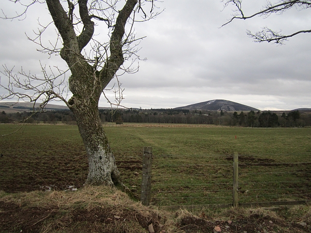
Curlingpond Strip, located in Berwickshire, Scotland, is a picturesque woodland area renowned for its natural beauty and diverse flora and fauna. Spanning over a vast expanse, this forested region offers a tranquil escape for nature enthusiasts and outdoor adventurers alike.

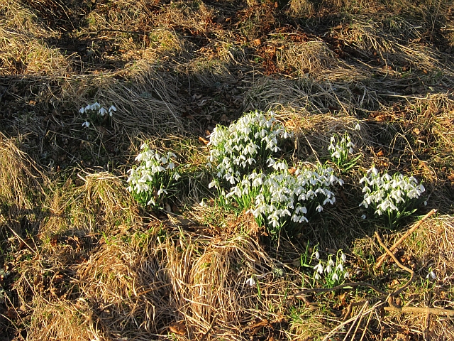
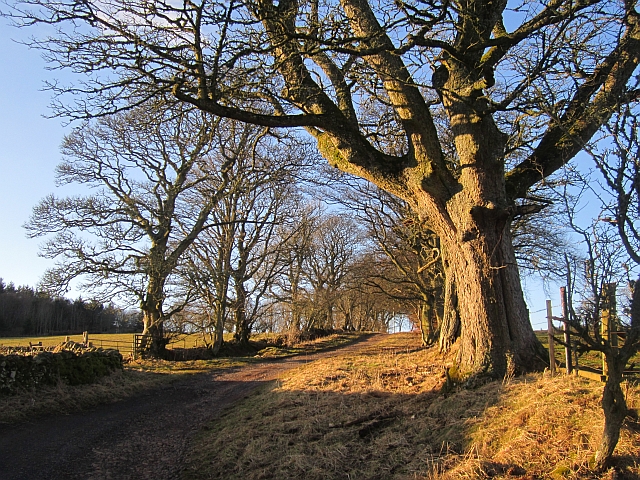
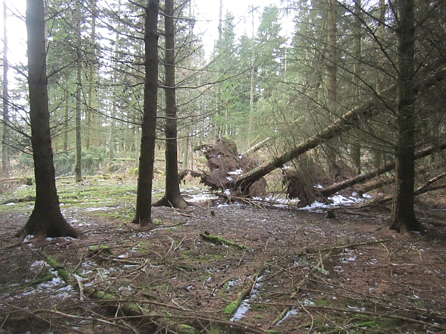
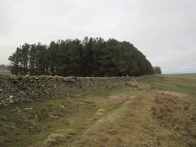
The woodland is characterized by its dense canopy of towering trees, dominated by oak, beech, and birch species. These trees provide a shaded and cool environment, even during the warm summer months. The forest floor is carpeted with a rich layer of mosses, ferns, and wildflowers, creating a vibrant tapestry of colors.

Curlingpond Strip is home to a wide array of wildlife, attracting birdwatchers and animal lovers. Visitors may catch glimpses of native bird species such as the great spotted woodpecker, Eurasian jay, and various owls. Mammals such as red squirrels, roe deer, and badgers also inhabit the forest, adding to the biodiversity of the area.

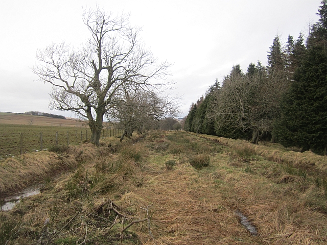
The forest offers numerous walking trails and paths, allowing visitors to explore its enchanting beauty. The Curlingpond Strip is a perfect destination for hikers, who can enjoy the serene atmosphere and immerse themselves in the peacefulness of nature.

Additionally, the forest plays a significant role in local conservation efforts, with various initiatives aimed at preserving the area's natural ecosystem. The management of the forest focuses on sustainable practices, ensuring the longevity and health of the woodland.

Overall, Curlingpond Strip in Berwickshire is a haven for nature lovers, offering a tranquil retreat from the hustle and bustle of daily life. Its stunning beauty, diverse wildlife, and commitment to conservation make it a must-visit destination for anyone seeking a connection with nature.

If you have any feedback on the listing, please let us know in the comments section below.

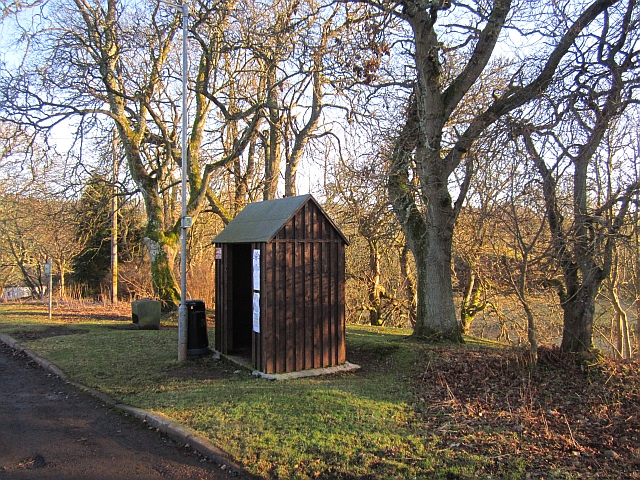
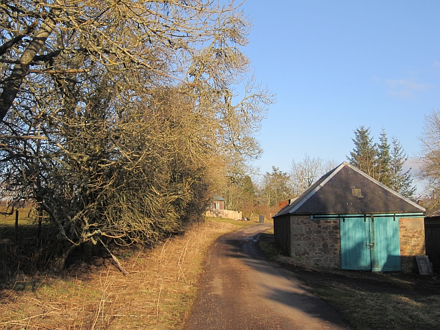
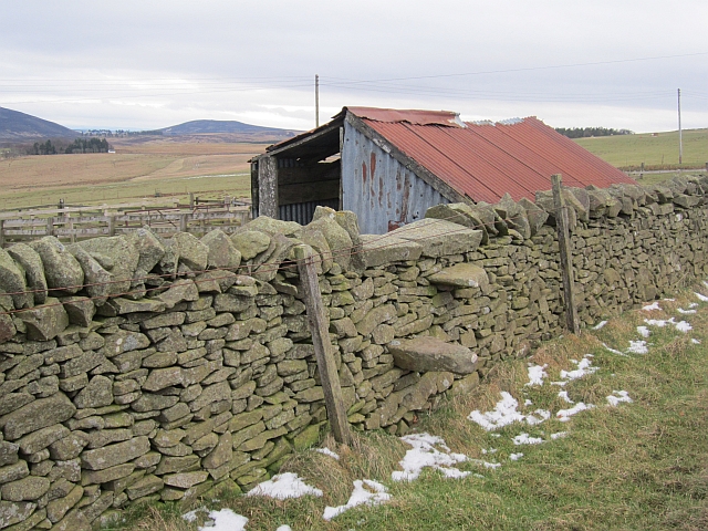
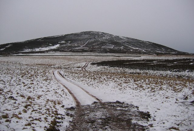
Curlingpond Strip Images

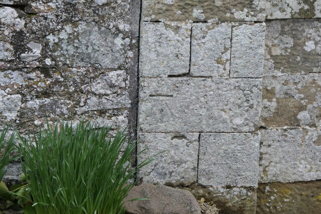
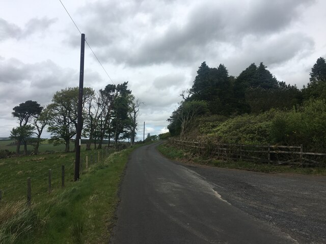
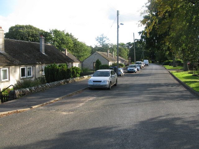
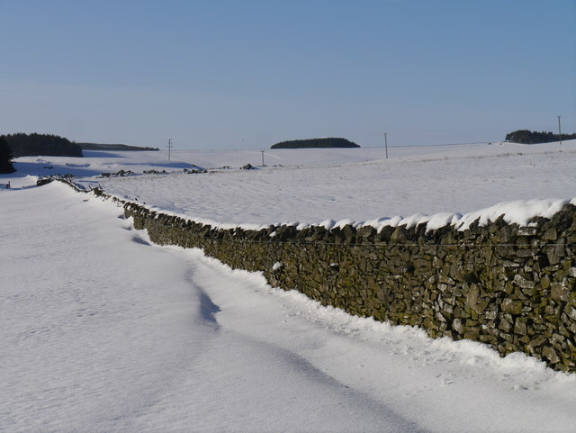
Images are sourced within 2km of 55.812732/-2.4853533 or Grid Reference NT6957. Thanks to Geograph Open Source API. All images are credited.

Benchmark, Longformacus House Lodge Ordnance Survey benchmark, described on database at <span class="nowrap"><a title="https://www.bench-marks.org.uk/bm85346" rel="nofollow ugc noopener" href="https://www.bench-marks.org.uk/bm85346">Link</a><img style="margin-left:2px;" alt="External link" title="External link - shift click to open in new window" src="https://s1.geograph.org.uk/img/external.png" width="10" height="10"/></span>.
Benchmark, Longformacus House Lodge
Ordnance Survey benchmark, described on database at LinkExternal link.
Minor road near Longformacus
Longformacus House Once home of Sir Robert Sinclair, a supporter of the Covenanters.
Longformacus House
Once home of Sir Robert Sinclair, a supporter of the Covenanters.
Road Bridge on the minor road from Longformacus to Watch Water Reservoir Spans Watch Water.
Road Bridge on the minor road from Longformacus to Watch Water Reservoir
Spans Watch Water.
Longformacus Entering Longformacus from the north.
Longformacus
Entering Longformacus from the north.
Snow Off A Dyke Melting snow on a drystone dyke north of Longformacus on the slope of Sinclair's Hill.
Snow Off A Dyke
Melting snow on a drystone dyke north of Longformacus on the slope of Sinclair's Hill.
Bus stop, Longformacus
Manse Road, Longformacus A signposted path uses this farm access road.
Manse Road, Longformacus
A signposted path uses this farm access road.
Snowdrops, Longformacus Beside Manse Road.
Snowdrops, Longformacus
Beside Manse Road.
Manse Road
Manse Road
Ash, Muirton The road to Muirton is tree lined. The field was occupied by curlews, geese (species unknown) and peewits.
Ash, Muirton
The road to Muirton is tree lined. The field was occupied by curlews, geese (species unknown) and peewits.
Twiggy's Belt Wind thrown trees in a conifer plantation. Older maps show no woodland here, so the name may be as modern as it sounds.
Twiggy's Belt
Wind thrown trees in a conifer plantation. Older maps show no woodland here, so the name may be as modern as it sounds.
Peat Ford A wide trackway between two ditches. Other than appearing on the Scottish Borders Council core paths map, it is no longer used. If you follow this, you need to jump a few ditches running at right angles across the route and find the stiles in and out of Twiggy's Belt.
Peat Ford
A wide trackway between two ditches. Other than appearing on the Scottish Borders Council core paths map, it is no longer used. If you follow this, you need to jump a few ditches running at right angles across the route and find the stiles in and out of Twiggy's Belt.
Dyeshaugh Plantation A long established small woodland by Redpath
Dyeshaugh Plantation
A long established small woodland by Redpath
Dyke, Redpath The woodland is a recent addition to the landscape, it does not appear on older maps.
Dyke, Redpath
The woodland is a recent addition to the landscape, it does not appear on older maps.
Townhead Plantation A small wood, next to a house.
Townhead Plantation
A small wood, next to a house.
Stile, Redpath A stone stile off the road to Redpath.
Stile, Redpath
A stone stile off the road to Redpath.
Moorland Road, Longformacus Some remaining snow after a few showers earlier in the week.
Moorland Road, Longformacus
Some remaining snow after a few showers earlier in the week.
Show me another place!

Curlingpond Strip is located at Grid Ref: NT6957 (Lat: 55.812732, Lng: -2.4853533)

Unitary Authority: The Scottish Borders

Police Authority: The Lothians and Scottish Borders

What 3 Words

///spell.calls.swarm. Near Duns, Scottish Borders

Related Wikis

Longformacus House

Longformacus House is a mansion near the village of Longformacus, Scottish Borders, Scotland. == History == The estate was once owned by the Earls of...

Longformacus

Longformacus (Scottish Gaelic: Longphort Mhacais) is a small village in Berwickshire in the Scottish Borders area of Scotland. It is around 10 kilometres...

Dye Water

The Dye Water (Scottish Gaelic: Uisge DhĂ idh) is a river in the Lammermuir Hills in the Scottish Borders area of Scotland. It rises in the Hope Hills,...

Dirrington Great Law

Dirrington Great Law is a hill in the Scottish Borders area of Scotland, in the former county of Berwickshire. The summit is around 2.5 kilometres (1.6...

Nearby Amenities

Located within 500m of 55.812732,-2.4853533
Power: pole
Lat/Long: 55.8091475/-2.4895218
Power: pole
Lat/Long: 55.8101204/-2.4904177
Power: pole
Lat/Long: 55.8106072/-2.4908267
Power: pole
Lat/Long: 55.8108393/-2.4924454
Power: pole
Lat/Long: 55.8110895/-2.4912411
Power: pole
Lat/Long: 55.8113156/-2.4900422
Power: pole
Lat/Long: 55.8115643/-2.4887788
Power: pole
Lat/Long: 55.8118145/-2.4875665
Power: pole
Lat/Long: 55.8120406/-2.4864104
Power: pole
Lat/Long: 55.8122968/-2.4851082
Power: pole
Lat/Long: 55.8127821/-2.484026
Power: pole
Lat/Long: 55.8132342/-2.4828592
Power: pole
Lat/Long: 55.8136803/-2.4818078
Power: pole
Lat/Long: 55.8141701/-2.4806383
Power: pole
Lat/Long: 55.8145831/-2.4795225
Power: pole
Lat/Long: 55.8136626/-2.4799107
Power: pole
Lat/Long: 55.8130784/-2.4790439
Power: pole
Lat/Long: 55.8124513/-2.478116
The data included in this document is from www.openstreetmap.org. The data is made available under ODbL.

Have you been to Curlingpond Strip?

Leave your review of Curlingpond Strip below (or comments, questions and feedback).