Garden Belt

Wood, Forest in Kincardineshire

Scotland

Garden Belt

Burnhead Farm Steading
Burnhead Farm Steading Credit: Ian

Garden Belt, located in the region of Kincardineshire, Scotland, is a picturesque wood and forest area encompassing an approximate area of X square kilometers. This expansive natural landscape is renowned for its lush greenery, diverse flora and fauna, and tranquil ambiance, attracting nature enthusiasts and visitors alike.

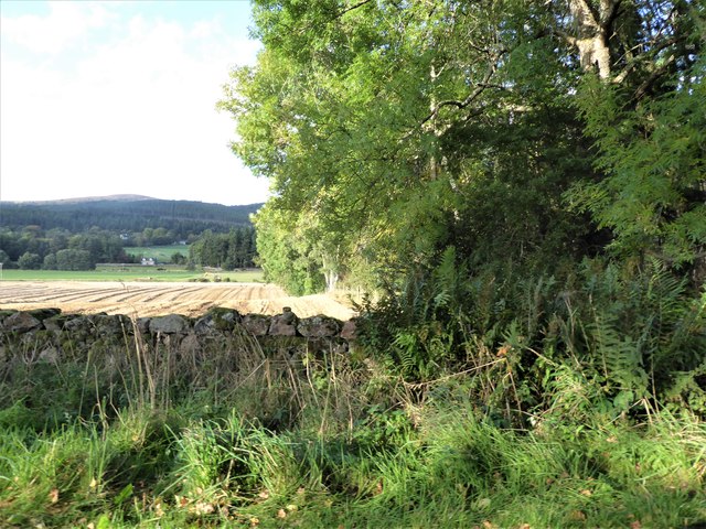
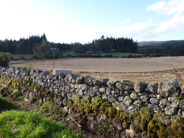
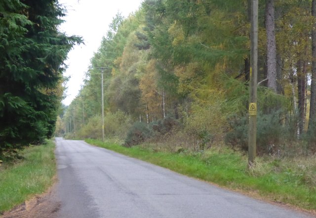
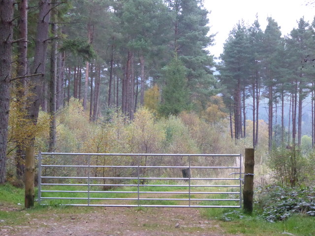
The woodlands in Garden Belt are characterized by a mix of deciduous and coniferous trees, creating a vibrant and visually striking environment. Towering oak, beech, and birch trees dominate the area, providing ample shade and shelter for the various wildlife species that call this place home. The forest floor is adorned with a carpet of wildflowers, ferns, and mosses, painting a colorful tapestry throughout the seasons.

Garden Belt is a haven for wildlife, with an abundance of species thriving within its boundaries. Birdwatchers can spot an array of avian creatures, including red kites, buzzards, and woodpeckers, while mammals such as red deer, foxes, and badgers roam the forest. The diverse ecosystem also supports a variety of insects, amphibians, and reptiles.

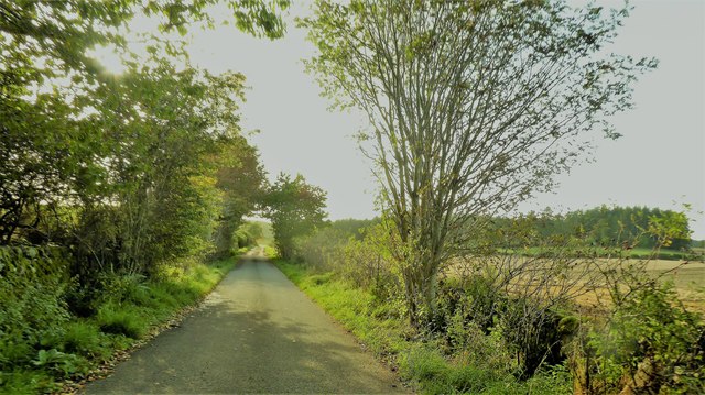
Visitors to Garden Belt can explore the numerous walking trails that wind their way through the woodlands, providing an opportunity to immerse oneself in nature and discover its hidden gems. These trails cater to different levels of difficulty, accommodating both casual strollers and avid hikers. The verdant surroundings offer a peaceful retreat, allowing individuals to escape the hustle and bustle of everyday life.

Garden Belt, with its enchanting woodlands and scenic beauty, presents a serene and captivating destination for those seeking solace in nature. Its rich biodiversity, coupled with the tranquillity it offers, makes it a must-visit location for any nature lover or outdoor enthusiast.

If you have any feedback on the listing, please let us know in the comments section below.
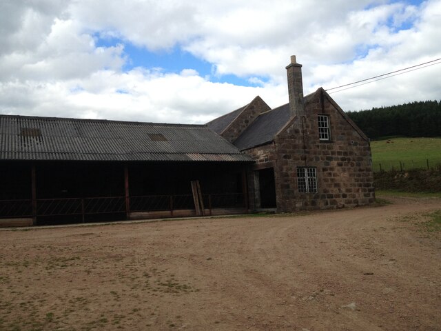
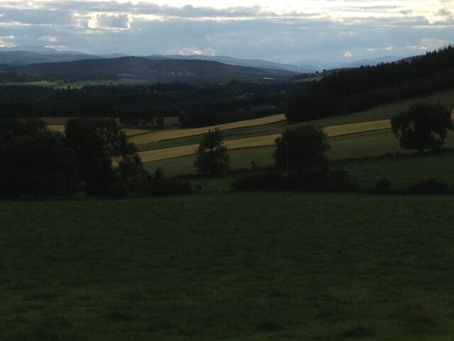
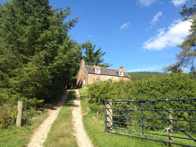
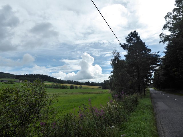
Garden Belt Images

Images are sourced within 2km of 57.085769/-2.4988148 or Grid Reference NO6999. Thanks to Geograph Open Source API. All images are credited.

Burnhead Farm Steading
Burnhead Fields view to the west towards the pass of ballater
Burnhead Fields
view to the west towards the pass of ballater
Kennerty Woods
Kennerty Woods
Burnhead Farmhouse
Burnhead Farmhouse
Burnhead Farmhouse
Burnhead Farmhouse
A view east from the A980 at mid-day Knockings Wood on the right, Cluny Crichton Castle on far left, and a towering cloud ahead. A feature of early August 2017 hereabouts has been of widespread, but local, heavy rainstorms originating from such clouds.
A view east from the A980 at mid-day
Knockings Wood on the right, Cluny Crichton Castle on far left, and a towering cloud ahead. A feature of early August 2017 hereabouts has been of widespread, but local, heavy rainstorms originating from such clouds.
View from SW corner of Hawthorn Wood Towards the 'Burnside Belts' of trees near Raemoir, by the B977 (centre left).
View from SW corner of Hawthorn Wood
Towards the 'Burnside Belts' of trees near Raemoir, by the B977 (centre left).
A 'rat run' around Banchory Towards its Raemoir end; from Crathes.
A 'rat run' around Banchory
Towards its Raemoir end; from Crathes.
Harvest time near Mill of Raemoir View from near Briggs cottage. Balwearie Wood in the background.
Harvest time near Mill of Raemoir
View from near Briggs cottage. Balwearie Wood in the background.
A narrow minor road through Brathens Wood From a passing-place, between Lochton of Leys and Newton of Leys.
A narrow minor road through Brathens Wood
From a passing-place, between Lochton of Leys and Newton of Leys.
A gated track into Brathens Wood Off minor road via a 7-bar galvanised steel gate.
A gated track into Brathens Wood
Off minor road via a 7-bar galvanised steel gate.
Gated entrance to Brathens Wood from a minor road near Newton of Leys A loaded height gauge has been fitted sometime during the last eleven months cf. <a href="https://www.geograph.org.uk/photo/5566943">NO6897 : A gated track into Brathens Wood</a>
Gated entrance to Brathens Wood from a minor road near Newton of Leys
A loaded height gauge has been fitted sometime during the last eleven months cf. NO6897 : A gated track into Brathens Wood
Minor road east from Newton of Leys Through Brathens Wood, to join the A980 at Lochhead of Leys.
Minor road east from Newton of Leys
Through Brathens Wood, to join the A980 at Lochhead of Leys.
SW corner of Hawthorn Wood On minor road between Crathes and Raemoir Mill in autumn.
SW corner of Hawthorn Wood
On minor road between Crathes and Raemoir Mill in autumn.
Raemoir Mill Wood on left; Hill of Fare on right. Seen across grass field from minor road near Hawthorn Wood.
Raemoir
Mill Wood on left; Hill of Fare on right. Seen across grass field from minor road near Hawthorn Wood.
Mill of Raemoir Set by Mill Wood, viewed from a minor road; over A960 between Banchory and Raemoir. Hill of Fare in background.
Mill of Raemoir
Set by Mill Wood, viewed from a minor road; over A960 between Banchory and Raemoir. Hill of Fare in background.
View NNE over Brockton from A980 near Raemoir With the ruined Cluny Crichton Castle in a field behind, and a snow-covered Hill of Fare in the distance.
View NNE over Brockton from A980 near Raemoir
With the ruined Cluny Crichton Castle in a field behind, and a snow-covered Hill of Fare in the distance.
Briggs Cottage Raemoir, Crathes, BANCHORY AB31 4EU.
Briggs Cottage
Raemoir, Crathes, BANCHORY AB31 4EU.
Show me another place!

Garden Belt is located at Grid Ref: NO6999 (Lat: 57.085769, Lng: -2.4988148)

Unitary Authority: Aberdeenshire

Police Authority: North East

What 3 Words

///locator.according.raking. Near Banchory, Aberdeenshire

Related Wikis

Raemoir House

Raemoir House is a Category B listed Georgian mansion house located in Banchory, Aberdeenshire, Scotland. Its origins date back to the Ha'Hoose (Hall House...

Cluny Crichton Castle

Cluny Crichton Castle (also known as Clounie Crighton Castle) is a ruined 3-story tower house on the southern slopes of the Hill of Fare in Aberdeenshire...

Battle of Corrichie

The Battle of Corrichie was fought on the slopes of the Hill of Fare in Aberdeenshire, Scotland, on 28 October 1562. It was fought between the forces of...

Glen o' Dee Hospital

Glen o' Dee Hospital is situated in the west end of Banchory, Aberdeenshire, Scotland. It is a small community hospital that provides services for the...

Nearby Amenities

Located within 500m of 57.085769,-2.4988148
Raemoir
Name Gd: Ràth Mòr
Place: hamlet
Lat/Long: 57.0858564/-2.5009295
Power: pole
Lat/Long: 57.0862702/-2.5054694
Power: pole
Lat/Long: 57.0861894/-2.5044237
Power: pole
Lat/Long: 57.0861051/-2.5033841
Power: pole
Lat/Long: 57.0863488/-2.5020573
Power: pole
Lat/Long: 57.0865566/-2.5009579
Power: pole
Lat/Long: 57.0867733/-2.4998005
Power: pole
Lat/Long: 57.0869822/-2.4987011
Power: pole
Lat/Long: 57.0870653/-2.4981989
Power: pole
Lat/Long: 57.0871695/-2.497508
Power: pole
Lat/Long: 57.0873325/-2.4967935
Power: pole
Lat/Long: 57.0875133/-2.4958883
Power: pole
Lat/Long: 57.0876806/-2.4950141
Power: pole
Lat/Long: 57.0878749/-2.4940407
Power: pole
Lat/Long: 57.0880793/-2.4930074
Power: pole
Lat/Long: 57.088561/-2.4936915
Power: pole
Lat/Long: 57.0891382/-2.4945305
Power: pole
Lat/Long: 57.0895817/-2.495165
Power: pole
Lat/Long: 57.0822396/-2.4963306
Power: pole
Lat/Long: 57.0824092/-2.4959359
Power: pole
Lat/Long: 57.0827832/-2.4950359
Power: pole
Lat/Long: 57.0829508/-2.494741
Power: pole
Lat/Long: 57.0834548/-2.4932327
Power: pole
Lat/Long: 57.0839018/-2.4917984
Power: pole
Lat/Long: 57.0821883/-2.5023038
Power: pole
Lat/Long: 57.0827673/-2.502685
Power: pole
Lat/Long: 57.0833588/-2.50308
Power: pole
Lat/Long: 57.0839566/-2.5034773
Power: pole
Lat/Long: 57.0845143/-2.5038447
Power: pole
Lat/Long: 57.085273/-2.5036334
Power: pole
Lat/Long: 57.085671/-2.5035071
Power: pole
Lat/Long: 57.0849423/-2.5040697
Power: pole
Lat/Long: 57.0852841/-2.5015132
Power: pole
Lat/Long: 57.0856473/-2.5020834
The data included in this document is from www.openstreetmap.org. The data is made available under ODbL.

Have you been to Garden Belt?

Leave your review of Garden Belt below (or comments, questions and feedback).