Gardeners Clump

Wood, Forest in Kincardineshire

Scotland

Gardeners Clump

Fields north of Banchory, towards Lochend of Leys
Fields north of Banchory, towards Lochend of Leys Credit: Mike Pennington

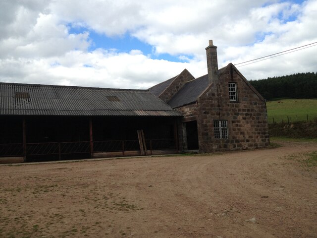
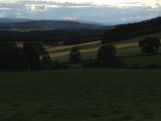
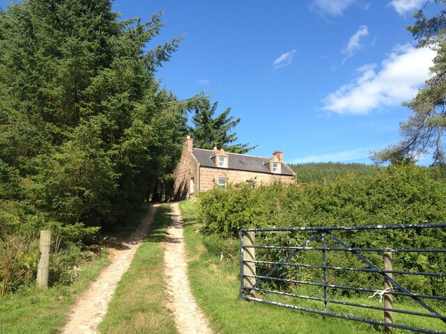
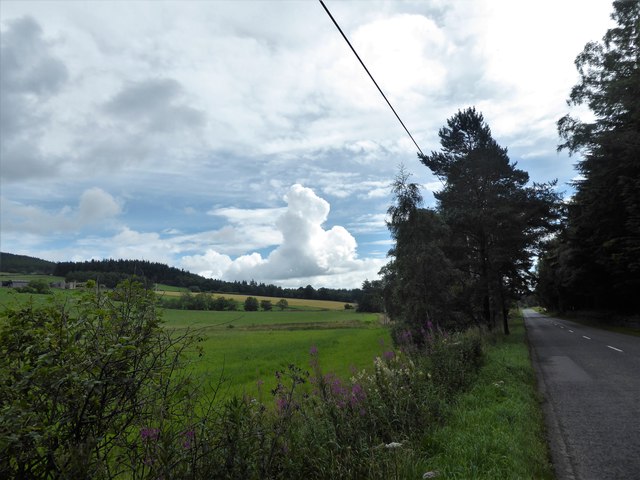
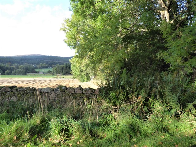
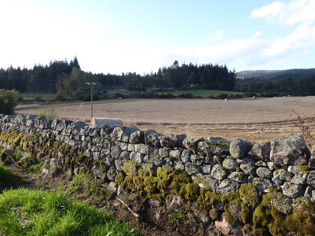
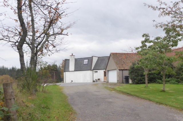
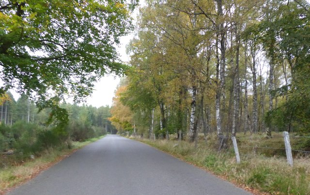
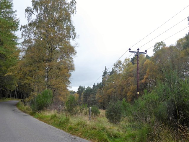
Gardeners Clump is a serene wood located in the picturesque region of Kincardineshire, Scotland. Nestled amidst rolling hills and lush green landscapes, this forested area is a haven for nature enthusiasts and those seeking tranquility in the heart of the countryside.

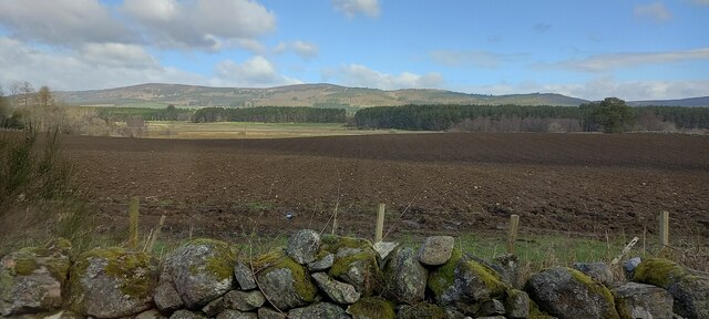
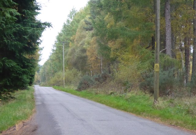
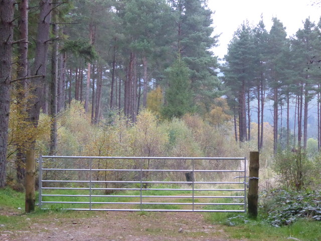
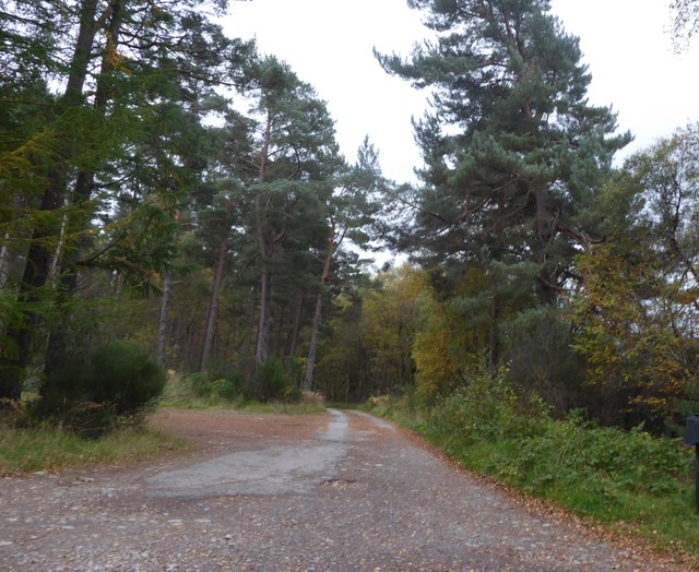
Covering an expansive area of approximately 50 acres, Gardeners Clump is characterized by its diverse range of indigenous trees and plant species. Towering Scots pine trees dominate the woodland, with their majestic presence creating a sense of awe and grandeur. The forest floor is adorned with a rich carpet of moss, ferns, and wildflowers, adding vibrant pops of color to the surroundings.

The wood provides a habitat for an array of wildlife, making it an ideal location for birdwatchers and animal enthusiasts. Visitors may catch glimpses of red squirrels, roe deer, and various bird species such as woodpeckers and owls. The peaceful ambiance and natural beauty of Gardeners Clump offer a perfect retreat for those seeking solitude and an escape from the hustle and bustle of everyday life.

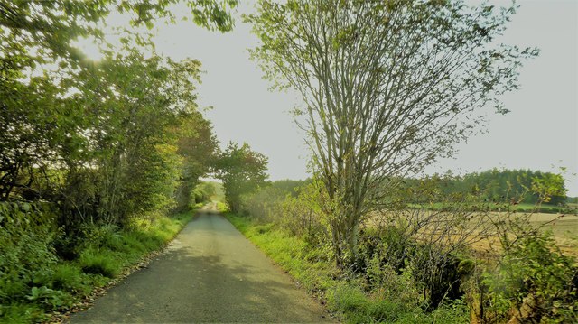
Well-maintained trails wind their way through the wood, allowing visitors to explore and immerse themselves in the enchanting surroundings. These paths cater to both casual walkers and more avid hikers, offering a range of difficulty levels and scenic viewpoints along the way.

Gardeners Clump is a cherished natural gem in Kincardineshire, captivating visitors with its serene charm and captivating beauty. Whether it be a leisurely stroll, a picnic amidst the trees, or simply a moment of quiet reflection, this woodland sanctuary offers a peaceful respite for all who venture into its enchanting embrace.

If you have any feedback on the listing, please let us know in the comments section below.

Gardeners Clump Images

Images are sourced within 2km of 57.081332/-2.5007844 or Grid Reference NO6999. Thanks to Geograph Open Source API. All images are credited.

Fields north of Banchory, towards Lochend of Leys
Burnhead Farm Steading
Burnhead Fields view to the west towards the pass of ballater
Burnhead Fields
view to the west towards the pass of ballater
Burnhead Farmhouse
Burnhead Farmhouse
Burnhead Farmhouse
Burnhead Farmhouse
A view east from the A980 at mid-day Knockings Wood on the right, Cluny Crichton Castle on far left, and a towering cloud ahead. A feature of early August 2017 hereabouts has been of widespread, but local, heavy rainstorms originating from such clouds.
A view east from the A980 at mid-day
Knockings Wood on the right, Cluny Crichton Castle on far left, and a towering cloud ahead. A feature of early August 2017 hereabouts has been of widespread, but local, heavy rainstorms originating from such clouds.
View from SW corner of Hawthorn Wood Towards the 'Burnside Belts' of trees near Raemoir, by the B977 (centre left).
View from SW corner of Hawthorn Wood
Towards the 'Burnside Belts' of trees near Raemoir, by the B977 (centre left).
A 'rat run' around Banchory Towards its Raemoir end; from Crathes.
A 'rat run' around Banchory
Towards its Raemoir end; from Crathes.
Harvest time near Mill of Raemoir View from near Briggs cottage. Balwearie Wood in the background.
Harvest time near Mill of Raemoir
View from near Briggs cottage. Balwearie Wood in the background.
A narrow minor road through Brathens Wood From a passing-place, between Lochton of Leys and Newton of Leys.
A narrow minor road through Brathens Wood
From a passing-place, between Lochton of Leys and Newton of Leys.
Newton of Leys From the minor road through Brathens Wood.
Newton of Leys
From the minor road through Brathens Wood.
A gated track into Brathens Wood Off minor road via a 7-bar galvanised steel gate.
A gated track into Brathens Wood
Off minor road via a 7-bar galvanised steel gate.
Access to The Birks From the minor road at Newton Leys.
Access to The Birks
From the minor road at Newton Leys.
Newton of Leys and outbuilding garage Access from the minor road through Brathens Wood.
Newton of Leys and outbuilding garage
Access from the minor road through Brathens Wood.
Minor road west from Newton Leys To reach, and follow parallel to, the trackbed of the dismantled Deeside Railway (closure recommended by the Beeching Report some 50 years ago).
Minor road west from Newton Leys
To reach, and follow parallel to, the trackbed of the dismantled Deeside Railway (closure recommended by the Beeching Report some 50 years ago).
Overhead power lines on wooden poles In a wayleave through Brathens Wood.
Overhead power lines on wooden poles
In a wayleave through Brathens Wood.
The Cooshed: a new-build restaurant in 2015 On a side road  off the A980 at Woodfield, Banchory. Later to be christened 'The Cooshed' and have a high class fish&chip takeaway incorporated.
The Cooshed: a new-build restaurant in 2015
On a side road off the A980 at Woodfield, Banchory. Later to be christened 'The Cooshed' and have a high class fish&chip takeaway incorporated.
Gated entrance to Brathens Wood from a minor road near Newton of Leys A loaded height gauge has been fitted sometime during the last eleven months cf. <a href="https://www.geograph.org.uk/photo/5566943">NO6897 : A gated track into Brathens Wood</a>
Gated entrance to Brathens Wood from a minor road near Newton of Leys
A loaded height gauge has been fitted sometime during the last eleven months cf. NO6897 : A gated track into Brathens Wood
Show me another place!

Gardeners Clump is located at Grid Ref: NO6999 (Lat: 57.081332, Lng: -2.5007844)

Unitary Authority: Aberdeenshire

Police Authority: North East

What 3 Words

///uppermost.sweeper.remind. Near Banchory, Aberdeenshire

Related Wikis

Raemoir House

Raemoir House is a Category B listed Georgian mansion house located in Banchory, Aberdeenshire, Scotland. Its origins date back to the Ha'Hoose (Hall House...

Cluny Crichton Castle

Cluny Crichton Castle (also known as Clounie Crighton Castle) is a ruined 3-story tower house on the southern slopes of the Hill of Fare in Aberdeenshire...

Glen o' Dee Hospital

Glen o' Dee Hospital is situated in the west end of Banchory, Aberdeenshire, Scotland. It is a small community hospital that provides services for the...

Brathens

Brathens is a village in Aberdeenshire, Scotland. == References ==

Banchory

Banchory (, Scots: Banchry, Scottish Gaelic: Beannchar) is a burgh or town in Aberdeenshire, Scotland. It is about 18 miles (29 km) west of Aberdeen,...

Banchory Academy

Banchory Academy is a secondary school serving Banchory, Scotland and surroundings, including the neighbouring communities of Raemoir, Crathes, Strachan...

Banchory Ternan East Church

Banchory Ternan East Parish Church is a congregation of the Church of Scotland, a member of the Presbyterian Church. The church building is located in...

Banchory Town Hall

Banchory Town Hall is a municipal structure in the High Street, Banchory, Aberdeenshire, Scotland. The structure is primarily used as a community events...

Nearby Amenities

Located within 500m of 57.081332,-2.5007844
Mill of Raemoir
Place: isolated_dwelling
Lat/Long: 57.0793264/-2.5068304
Power: pole
Lat/Long: 57.0822396/-2.4963306
Power: pole
Lat/Long: 57.0824092/-2.4959359
Power: pole
Lat/Long: 57.0827832/-2.4950359
Power: pole
Lat/Long: 57.0829508/-2.494741
Power: pole
Lat/Long: 57.0775634/-2.5042695
Power: pole
Lat/Long: 57.0781237/-2.503801
Power: pole
Lat/Long: 57.0786741/-2.5033441
Power: pole
Lat/Long: 57.0791758/-2.502933
Material: wood
Power: pole
Lat/Long: 57.0798123/-2.5024141
Power: pole
Lat/Long: 57.0803689/-2.5019525
Power: pole
Lat/Long: 57.0809492/-2.5014795
Material: wood
Power: pole
Lat/Long: 57.0813947/-2.5017734
Material: wood
Power: pole
Lat/Long: 57.0815893/-2.5018951
Power: pole
Lat/Long: 57.0821883/-2.5023038
Power: pole
Lat/Long: 57.0827673/-2.502685
Power: pole
Lat/Long: 57.0833588/-2.50308
Power: pole
Lat/Long: 57.0839566/-2.5034773
Power: pole
Lat/Long: 57.0845143/-2.5038447
Power: pole
Lat/Long: 57.085273/-2.5036334
Power: pole
Lat/Long: 57.0849423/-2.5040697
Power: pole
Lat/Long: 57.0852841/-2.5015132
Power: pole
Lat/Long: 57.0856473/-2.5020834
Power: pole
Lat/Long: 57.0798797/-2.5079436
Power: pole
Lat/Long: 57.0798584/-2.5065405
Material: wood
Power: pole
Lat/Long: 57.0798597/-2.5059113
Material: wood
Power: pole
Lat/Long: 57.0798435/-2.5048275
Material: wood
Power: pole
Lat/Long: 57.0798347/-2.5036219
The data included in this document is from www.openstreetmap.org. The data is made available under ODbL.

Have you been to Gardeners Clump?

Leave your review of Gardeners Clump below (or comments, questions and feedback).