Brockton Wood

Wood, Forest in Kincardineshire

Scotland

Brockton Wood

Minor road past Jampots Wood
Minor road past Jampots Wood Credit: Steven Brown

Brockton Wood, located in Kincardineshire, is a picturesque woodland area known for its natural beauty and rich biodiversity. Spanning approximately 100 acres, this forested area is a popular destination for nature lovers and outdoor enthusiasts.

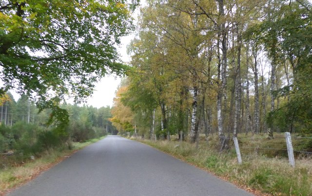
The wood is primarily composed of a variety of broadleaf trees, including oak, beech, and birch, which create a dense and vibrant canopy. The forest floor is covered in a thick layer of moss and ferns, adding to its enchanting atmosphere. A network of well-maintained walking trails winds through the wood, allowing visitors to explore its hidden corners and discover its diverse flora and fauna.

Wildlife thrives in Brockton Wood, creating a haven for animal enthusiasts. The forest is home to a range of bird species, including woodpeckers, owls, and various songbirds. Small mammals such as squirrels and rabbits can also be spotted darting through the undergrowth. Keen-eyed visitors may even catch a glimpse of elusive creatures like deer and foxes.

The wood is also of historical interest, with traces of ancient settlements and ruins scattered throughout the area. These remnants provide insight into the rich cultural heritage of the region and offer a glimpse into the lives of those who inhabited the area centuries ago.

Overall, Brockton Wood in Kincardineshire offers a tranquil and immersive experience for nature enthusiasts, history buffs, and those seeking a peaceful retreat in the heart of Scotland's stunning countryside.

If you have any feedback on the listing, please let us know in the comments section below.

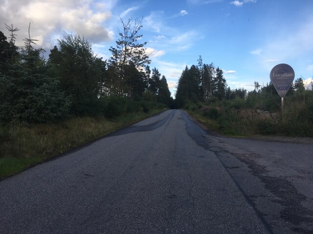
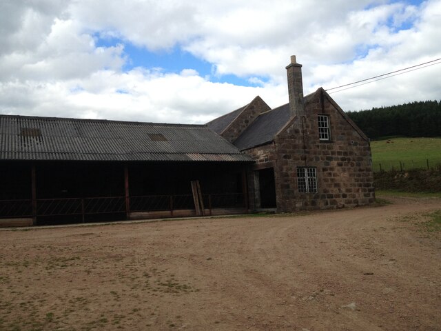
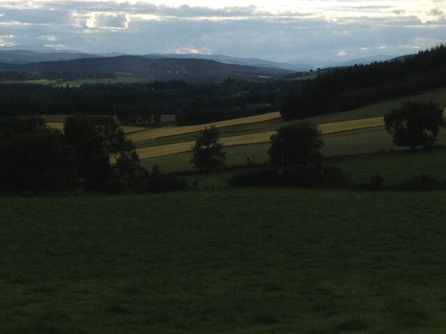
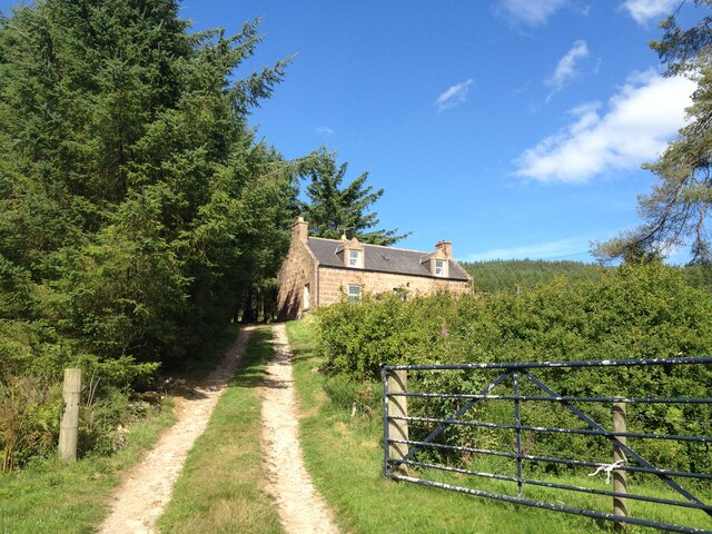
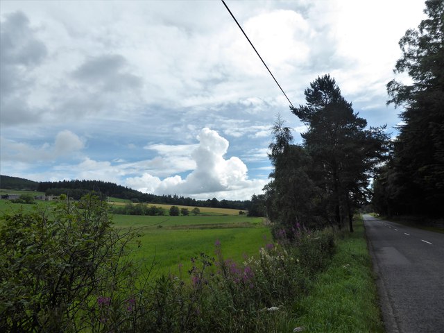
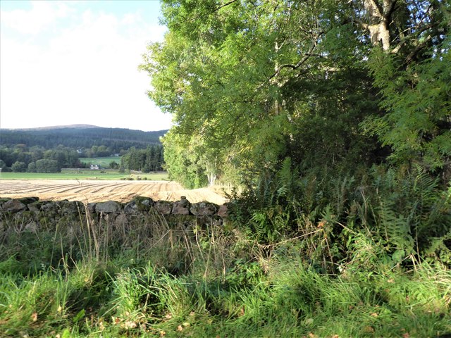
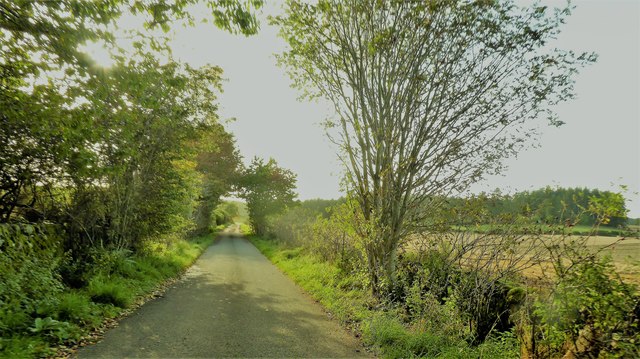
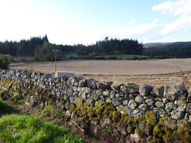
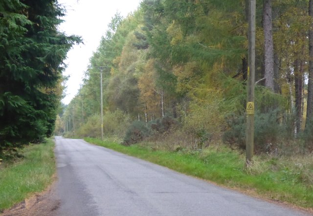
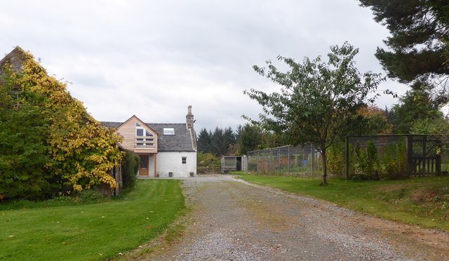
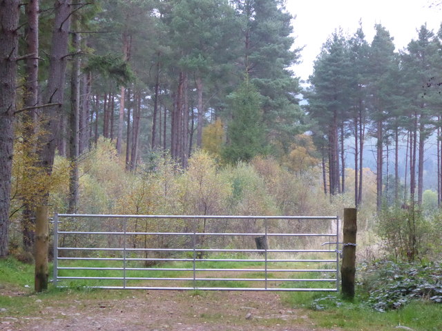
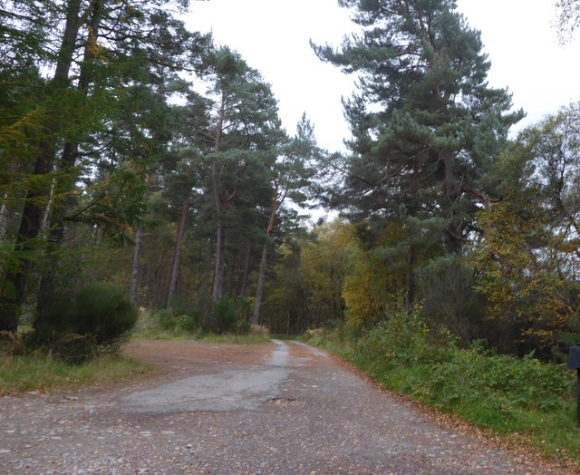
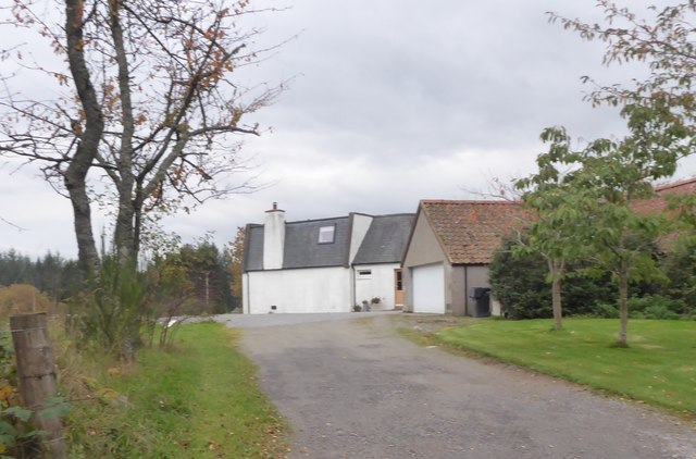
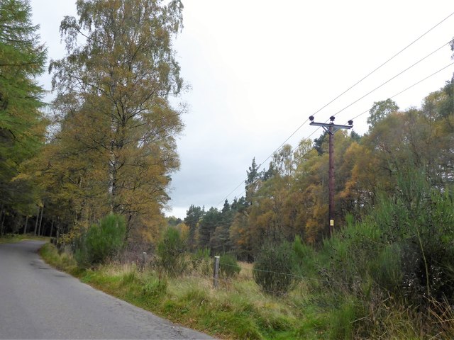
Brockton Wood Images

Images are sourced within 2km of 57.081444/-2.5261588 or Grid Reference NO6899. Thanks to Geograph Open Source API. All images are credited.

Minor road past Jampots Wood
Burnhead Farm Steading
Burnhead Fields view to the west towards the pass of ballater
Burnhead Fields
view to the west towards the pass of ballater
Brownhill Croft
Brownhill Croft
Kennerty Woods
Kennerty Woods
Burnhead Farmhouse
Burnhead Farmhouse
Burnhead Farmhouse
Burnhead Farmhouse
A view east from the A980 at mid-day Knockings Wood on the right, Cluny Crichton Castle on far left, and a towering cloud ahead. A feature of early August 2017 hereabouts has been of widespread, but local, heavy rainstorms originating from such clouds.
A view east from the A980 at mid-day
Knockings Wood on the right, Cluny Crichton Castle on far left, and a towering cloud ahead. A feature of early August 2017 hereabouts has been of widespread, but local, heavy rainstorms originating from such clouds.
View from SW corner of Hawthorn Wood Towards the 'Burnside Belts' of trees near Raemoir, by the B977 (centre left).
View from SW corner of Hawthorn Wood
Towards the 'Burnside Belts' of trees near Raemoir, by the B977 (centre left).
A 'rat run' around Banchory Towards its Raemoir end; from Crathes.
A 'rat run' around Banchory
Towards its Raemoir end; from Crathes.
Harvest time near Mill of Raemoir View from near Briggs cottage. Balwearie Wood in the background.
Harvest time near Mill of Raemoir
View from near Briggs cottage. Balwearie Wood in the background.
A narrow minor road through Brathens Wood From a passing-place, between Lochton of Leys and Newton of Leys.
A narrow minor road through Brathens Wood
From a passing-place, between Lochton of Leys and Newton of Leys.
Newton of Leys From the minor road through Brathens Wood.
Newton of Leys
From the minor road through Brathens Wood.
A gated track into Brathens Wood Off minor road via a 7-bar galvanised steel gate.
A gated track into Brathens Wood
Off minor road via a 7-bar galvanised steel gate.
Access to The Birks From the minor road at Newton Leys.
Access to The Birks
From the minor road at Newton Leys.
Newton of Leys and outbuilding garage Access from the minor road through Brathens Wood.
Newton of Leys and outbuilding garage
Access from the minor road through Brathens Wood.
Minor road west from Newton Leys To reach, and follow parallel to, the trackbed of the dismantled Deeside Railway (closure recommended by the Beeching Report some 50 years ago).
Minor road west from Newton Leys
To reach, and follow parallel to, the trackbed of the dismantled Deeside Railway (closure recommended by the Beeching Report some 50 years ago).
Overhead power lines on wooden poles In a wayleave through Brathens Wood.
Overhead power lines on wooden poles
In a wayleave through Brathens Wood.
Show me another place!

Brockton Wood is located at Grid Ref: NO6899 (Lat: 57.081444, Lng: -2.5261588)

Unitary Authority: Aberdeenshire

Police Authority: North East

What 3 Words

///ballparks.interval.drama. Near Banchory, Aberdeenshire

Related Wikis

Cluny Crichton Castle

Cluny Crichton Castle (also known as Clounie Crighton Castle) is a ruined 3-story tower house on the southern slopes of the Hill of Fare in Aberdeenshire...

Raemoir House

Raemoir House is a Category B listed Georgian mansion house located in Banchory, Aberdeenshire, Scotland. Its origins date back to the Ha'Hoose (Hall House...

Brathens

Brathens is a village in Aberdeenshire, Scotland. == References ==

Glen o' Dee Hospital

Glen o' Dee Hospital is situated in the west end of Banchory, Aberdeenshire, Scotland. It is a small community hospital that provides services for the...

Nearby Amenities

Located within 500m of 57.081444,-2.5261588
Hill of Brathens
Natural: peak
Lat/Long: 57.0797303/-2.5337197
Power: pole
Lat/Long: 57.0854336/-2.5257021
Power: pole
Lat/Long: 57.0845385/-2.525636
Power: pole
Lat/Long: 57.0836704/-2.5255616
Power: pole
Lat/Long: 57.0833436/-2.5256939
Material: wood
Power: pole
Lat/Long: 57.0847869/-2.5218569
Material: wood
Power: pole
Lat/Long: 57.0843173/-2.521724
The data included in this document is from www.openstreetmap.org. The data is made available under ODbL.

Have you been to Brockton Wood?

Leave your review of Brockton Wood below (or comments, questions and feedback).