Cluny Crichton Castle

Heritage Site in Kincardineshire

Scotland

Cluny Crichton Castle

Burnhead Farm Steading
Burnhead Farm Steading Credit: Ian

Cluny Crichton Castle is a historic fortress located in the county of Kincardineshire, Scotland. Dating back to the 14th century, this heritage site holds significant architectural and historical value. The castle is situated on a picturesque site overlooking the River Dee, offering stunning views of the surrounding countryside.

Originally constructed by the Crichton family, the castle is a prime example of Scottish medieval architecture. It features a square keep with four corner towers, surrounded by a curtain wall. The stonework of the castle displays intricate details and fine craftsmanship, showcasing the skills of the builders of that era.

Throughout its history, Cluny Crichton Castle has witnessed numerous battles and sieges, making it an important strategic stronghold. The castle often changed hands between rival clans and was subject to various alterations and expansions over the centuries. The most notable addition was the construction of the Great Hall in the 16th century, which added grandeur and functionality to the castle.

Today, the castle stands as a partially ruined structure, with the ravages of time and neglect evident on its walls. Despite this, it remains an impressive sight, attracting visitors from all over the world. The castle is open to the public, allowing visitors to explore its grounds and learn about its rich history.

Cluny Crichton Castle is not only a remarkable example of Scottish architecture but also a testament to the turbulent history of the region. Its imposing presence and captivating surroundings make it a must-visit destination for history enthusiasts and tourists alike.

If you have any feedback on the listing, please let us know in the comments section below.

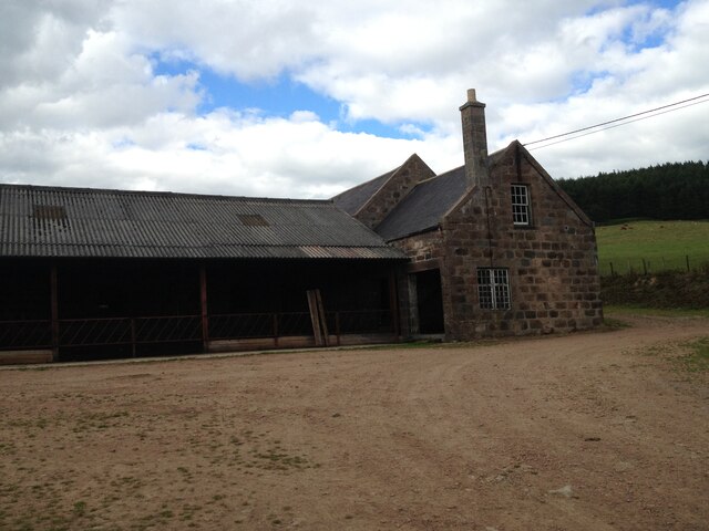
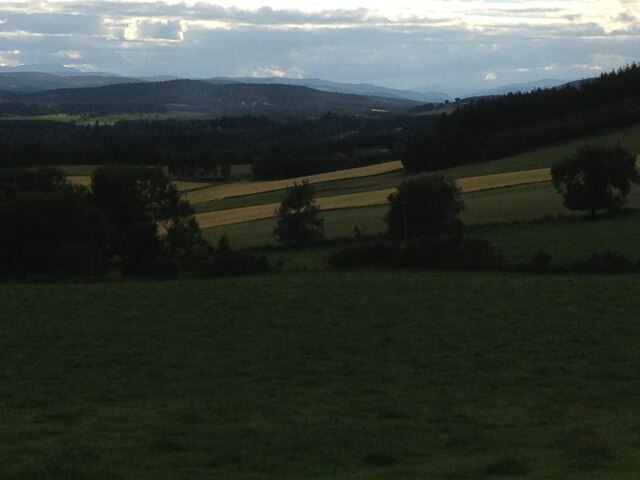
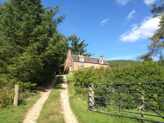
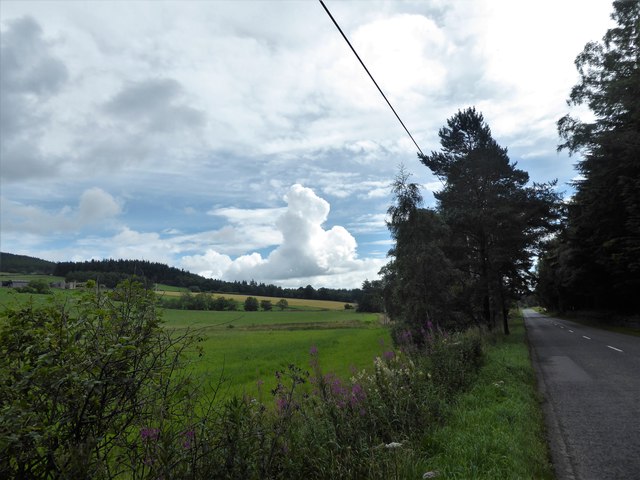
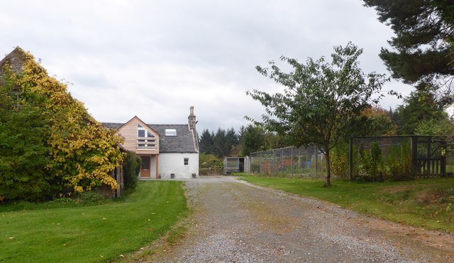
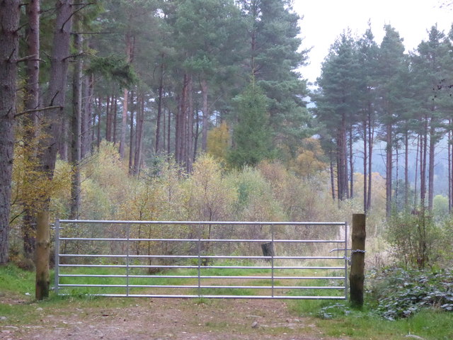
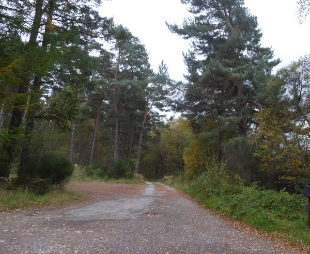
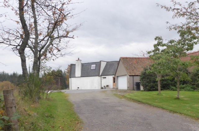
Cluny Crichton Castle Images

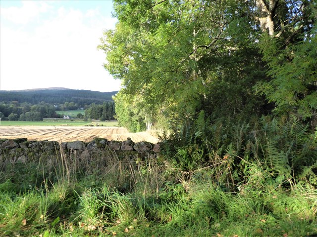
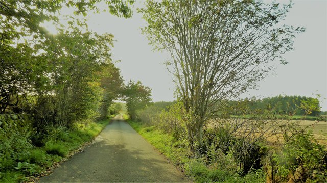
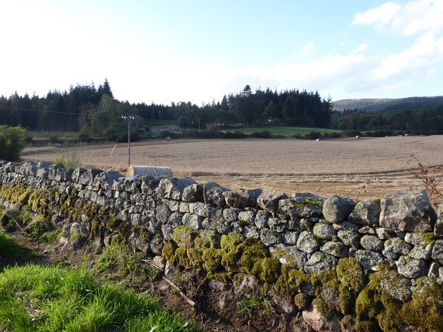
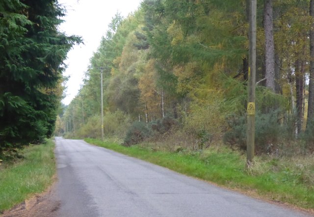
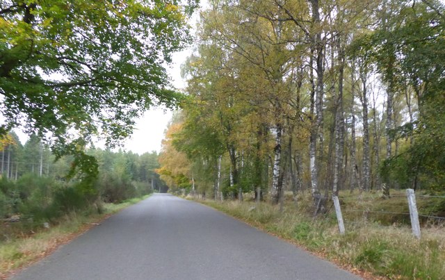
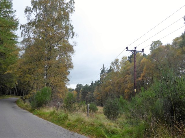
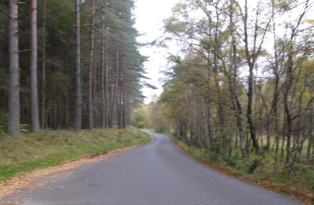
Images are sourced within 2km of 57.085/-2.52 or Grid Reference NO6899. Thanks to Geograph Open Source API. All images are credited.

Burnhead Farm Steading
Burnhead Fields view to the west towards the pass of ballater
Burnhead Fields
view to the west towards the pass of ballater
Brownhill Croft
Brownhill Croft
Kennerty Woods
Kennerty Woods
Burnhead Farmhouse
Burnhead Farmhouse
Burnhead Farmhouse
Burnhead Farmhouse
A view east from the A980 at mid-day Knockings Wood on the right, Cluny Crichton Castle on far left, and a towering cloud ahead. A feature of early August 2017 hereabouts has been of widespread, but local, heavy rainstorms originating from such clouds.
A view east from the A980 at mid-day
Knockings Wood on the right, Cluny Crichton Castle on far left, and a towering cloud ahead. A feature of early August 2017 hereabouts has been of widespread, but local, heavy rainstorms originating from such clouds.
View from SW corner of Hawthorn Wood Towards the 'Burnside Belts' of trees near Raemoir, by the B977 (centre left).
View from SW corner of Hawthorn Wood
Towards the 'Burnside Belts' of trees near Raemoir, by the B977 (centre left).
A 'rat run' around Banchory Towards its Raemoir end; from Crathes.
A 'rat run' around Banchory
Towards its Raemoir end; from Crathes.
Harvest time near Mill of Raemoir View from near Briggs cottage. Balwearie Wood in the background.
Harvest time near Mill of Raemoir
View from near Briggs cottage. Balwearie Wood in the background.
A narrow minor road through Brathens Wood From a passing-place, between Lochton of Leys and Newton of Leys.
A narrow minor road through Brathens Wood
From a passing-place, between Lochton of Leys and Newton of Leys.
Newton of Leys From the minor road through Brathens Wood.
Newton of Leys
From the minor road through Brathens Wood.
A gated track into Brathens Wood Off minor road via a 7-bar galvanised steel gate.
A gated track into Brathens Wood
Off minor road via a 7-bar galvanised steel gate.
Access to The Birks From the minor road at Newton Leys.
Access to The Birks
From the minor road at Newton Leys.
Newton of Leys and outbuilding garage Access from the minor road through Brathens Wood.
Newton of Leys and outbuilding garage
Access from the minor road through Brathens Wood.
Minor road west from Newton Leys To reach, and follow parallel to, the trackbed of the dismantled Deeside Railway (closure recommended by the Beeching Report some 50 years ago).
Minor road west from Newton Leys
To reach, and follow parallel to, the trackbed of the dismantled Deeside Railway (closure recommended by the Beeching Report some 50 years ago).
Overhead power lines on wooden poles In a wayleave through Brathens Wood.
Overhead power lines on wooden poles
In a wayleave through Brathens Wood.
Minor road through Brathens Wood Power line wayleave on right; dismantled railway track overgrown on left.
Minor road through Brathens Wood
Power line wayleave on right; dismantled railway track overgrown on left.
Show me another place!

Cluny Crichton Castle is located at Grid Ref: NO6899 (Lat: 57.085, Lng: -2.52)

Unitary Authority: Aberdeenshire

Police Authority: North East

What 3 Words

///wobbles.alright.protects. Near Banchory, Aberdeenshire

Related Wikis

Cluny Crichton Castle

Cluny Crichton Castle (also known as Clounie Crighton Castle) is a ruined 3-story tower house on the southern slopes of the Hill of Fare in Aberdeenshire...

Raemoir House

Raemoir House is a Category B listed Georgian mansion house located in Banchory, Aberdeenshire, Scotland. Its origins date back to the Ha'Hoose (Hall House...

Brathens

Brathens is a village in Aberdeenshire, Scotland. == References ==

Glen o' Dee Hospital

Glen o' Dee Hospital is situated in the west end of Banchory, Aberdeenshire, Scotland. It is a small community hospital that provides services for the...

Beltie Burn

The Beltie Burn is a burn in Aberdeenshire, Scotland, which below Torphins and Glassel is known as the Burn of Canny. It begins in the hill of Benaquhallie...

Glassel railway station

Glassel railway station is a disused railway station in Britain. It served Glassel House, the Mill of Beltie and the local farms and the inhabitants of...

Hill of Fare

The Hill of Fare is a small hill in Aberdeenshire, Scotland. It is located about 5 km (3 miles) northeast of the village of Torphins. The hill is long...
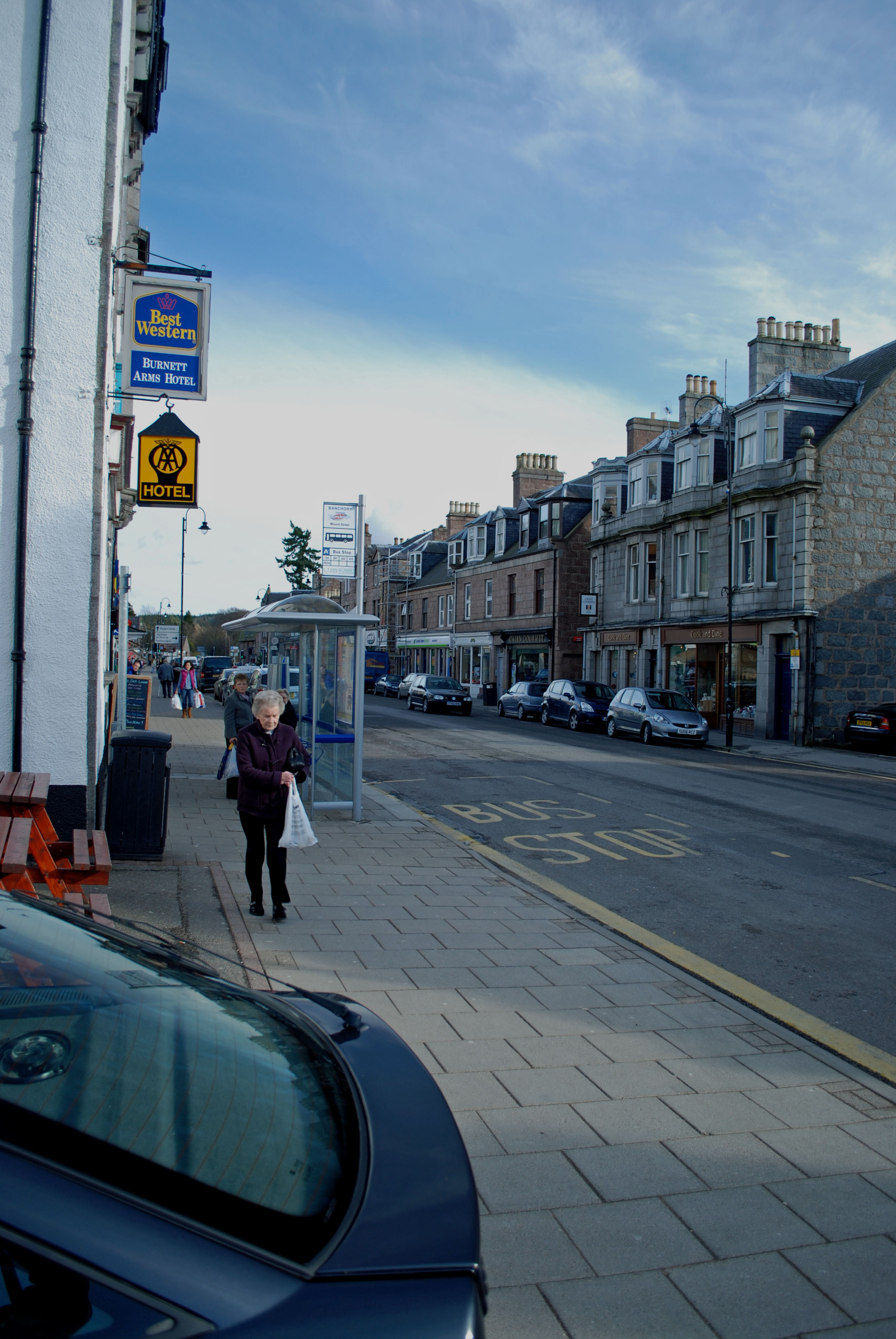
Banchory

Banchory (, Scots: Banchry, Scottish Gaelic: Beannchar) is a burgh or town in Aberdeenshire, Scotland. It is about 18 miles (29 km) west of Aberdeen,...

Nearby Amenities

Located within 500m of 57.085,-2.52
Power: pole
Lat/Long: 57.089283/-2.5220875
Power: pole
Lat/Long: 57.0889248/-2.5212547
Power: pole
Lat/Long: 57.0886946/-2.5206347
Power: pole
Lat/Long: 57.0882185/-2.5193885
Power: pole
Lat/Long: 57.0878962/-2.5183179
Power: pole
Lat/Long: 57.087492/-2.5170944
Power: pole
Lat/Long: 57.0871293/-2.5159578
Power: pole
Lat/Long: 57.0867609/-2.5147756
Power: pole
Lat/Long: 57.0866464/-2.5135232
Power: pole
Lat/Long: 57.0877323/-2.5259853
Power: pole
Lat/Long: 57.0868721/-2.5258757
Power: pole
Lat/Long: 57.086204/-2.5258013
Power: pole
Lat/Long: 57.0854336/-2.5257021
Power: pole
Lat/Long: 57.0845385/-2.525636
Power: pole
Lat/Long: 57.0836704/-2.5255616
Power: pole
Lat/Long: 57.0833436/-2.5256939
Power: pole
Lat/Long: 57.0890881/-2.5191031
Power: pole
Lat/Long: 57.0879/-2.5230289
Power: pole
Lat/Long: 57.0881167/-2.5227232
Power: pole
Lat/Long: 57.0884405/-2.5222734
Power: pole
Lat/Long: 57.0886162/-2.5217883
Power: pole
Lat/Long: 57.088804/-2.5212521
Material: wood
Power: pole
Lat/Long: 57.0854418/-2.5220297
Material: wood
Power: pole
Lat/Long: 57.0847869/-2.5218569
Material: wood
Power: pole
Lat/Long: 57.0843173/-2.521724
The data included in this document is from www.openstreetmap.org. The data is made available under ODbL.

Have you been to Cluny Crichton Castle?

Leave your review of Cluny Crichton Castle below (or comments, questions and feedback).