Chapel End
Settlement in Essex Uttlesford
England
Chapel End
Chapel End is a small village located in the county of Essex, England. Situated approximately 18 miles northeast of the city of London, Chapel End falls within the local government district of Epping Forest. The village is surrounded by picturesque countryside, offering residents and visitors a peaceful and idyllic setting.
With a population of just over 1,000 residents, Chapel End is a close-knit community that prides itself on its friendly and welcoming atmosphere. The village is characterized by its charming houses, many of which date back several centuries, showcasing traditional English architecture. The village center is home to a few local amenities, including a small convenience store and a traditional pub, where residents can gather and socialize.
Chapel End is well-connected to nearby towns and cities, with good transportation links. The village is served by a regular bus service, providing easy access to neighboring areas. Additionally, the nearest train station is just a short distance away, allowing residents to easily commute to London or other locations in Essex.
The village is surrounded by natural beauty, with several parks and green spaces in close proximity. This offers residents plenty of opportunities for outdoor activities, such as walking, cycling, and picnicking. Additionally, Chapel End benefits from being located near the Epping Forest, a vast area of ancient woodland that is renowned for its natural beauty and recreational opportunities.
Overall, Chapel End is a charming village that offers a peaceful and picturesque setting for its residents. With its strong sense of community and proximity to both nature and urban centers, it provides the perfect balance between a tranquil countryside lifestyle and convenient access to amenities and services.
If you have any feedback on the listing, please let us know in the comments section below.
Chapel End Images
Images are sourced within 2km of 51.901099/0.271899 or Grid Reference TL5624. Thanks to Geograph Open Source API. All images are credited.


Chapel End is located at Grid Ref: TL5624 (Lat: 51.901099, Lng: 0.271899)
Administrative County: Essex
District: Uttlesford
Police Authority: Essex
What 3 Words
///forklift.hogs.deduced. Near Elsenham, Essex
Nearby Locations
Related Wikis

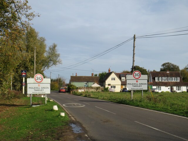
Molehill Green
Molehill Green is a hamlet in Takeley parish in Essex, England, close to the perimeter of London Stansted Airport, The hamlet consists of approximately...
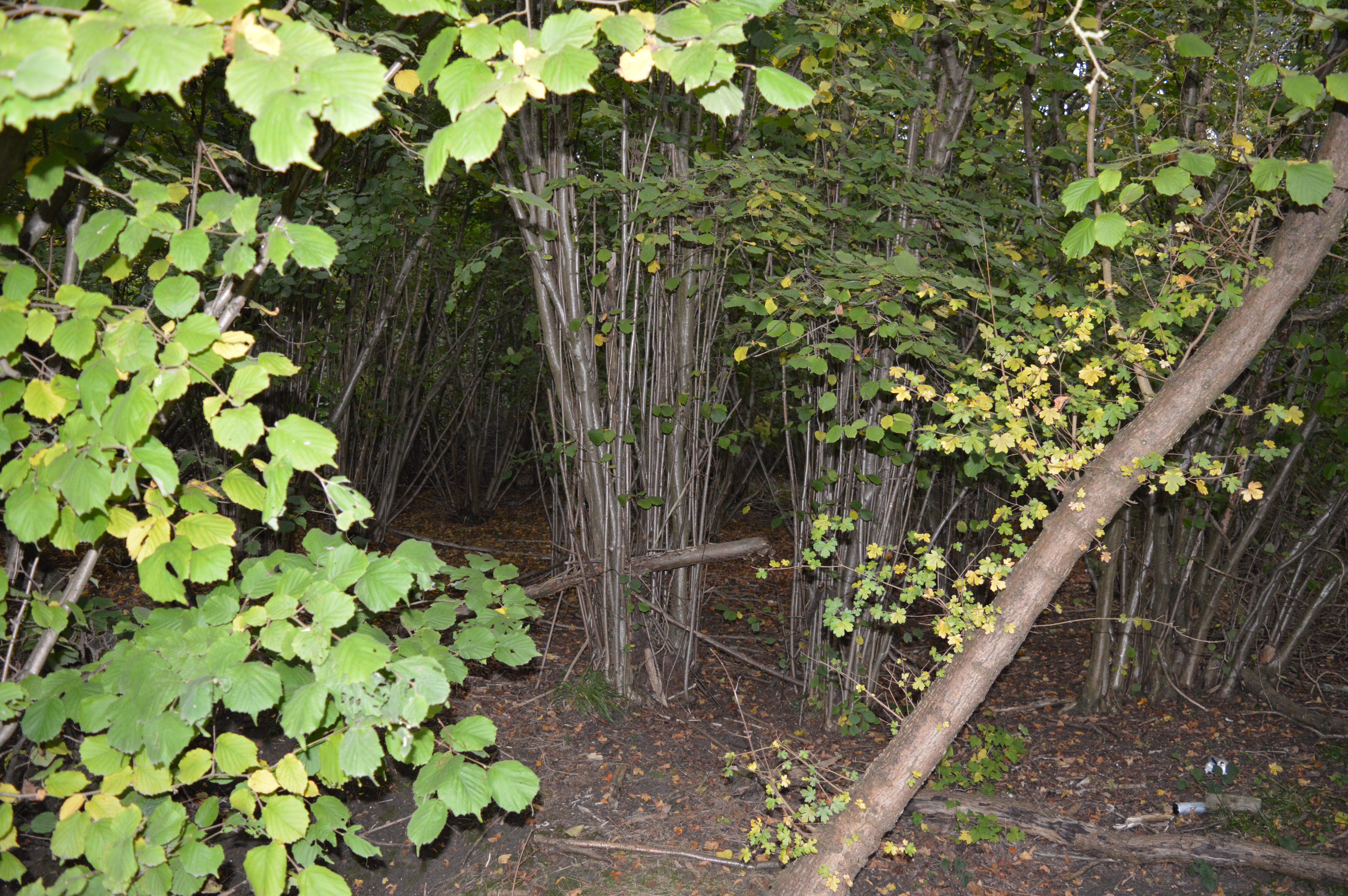
Elsenham Woods
Elsenham Woods is a 44.4-hectare (110-acre) biological Site of Special Scientific Interest east of Elsenham in Essex. It was notified under Section 28...

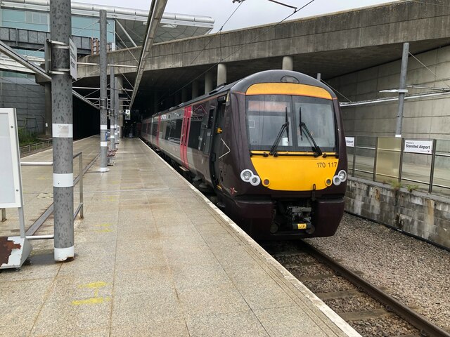
Stansted Airport railway station
Stansted Airport railway station is on a branch line off the West Anglia Main Line in the East of England and was opened in 1991 to provide a rail link...

Stansted Airport Transit System
The Stansted Airport Track Transit System (TTS) is a fully automated people mover system which operates within London Stansted Airport in the United Kingdom...

Pledgdon Green
Pledgdon Green, also known as Pledgdon or Prison Green, is a hamlet in the parish of Henham, in the Uttlesford district of Essex, England. The hamlet is...

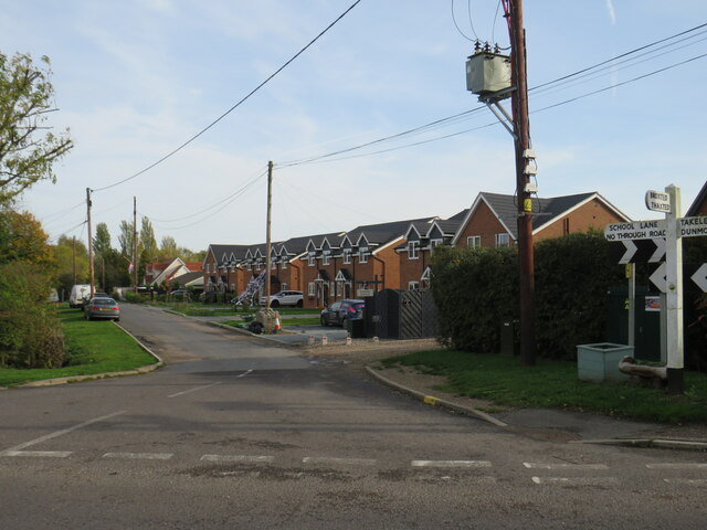
Bamber's Green
Bamber's Green is a hamlet in Essex, England. It is located near to Molehill Green and close to London Stansted Airport. The hamlet has approximately 20...

Broxted
Broxted is a village and civil parish in the Uttlesford district, in the county of Essex, England. It is situated 11 km (6.8 mi) north-east from Bishop...

Chickney
Chickney is a village and civil parish near Broxted and southwest of Thaxted, in Uttlesford, Essex, England. The parish borders Broxted, Debden, Henham...
Nearby Amenities
Located within 500m of 51.901099,0.271899Have you been to Chapel End?
Leave your review of Chapel End below (or comments, questions and feedback).