Gimmerland Plantation

Wood, Forest in Berwickshire

Scotland

Gimmerland Plantation

Road Closed? The road to Gifford from Longformacus is viewed here with the sign indicating the road to Horseupcleuch visible to the left.  A 121 point turn and the use of a shovel was required shortly after this photograph was taken!
Road Closed? Credit: James T M Towill

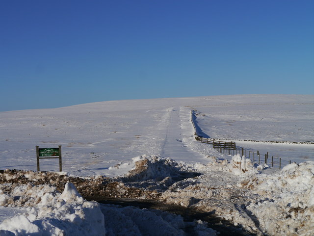
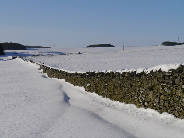
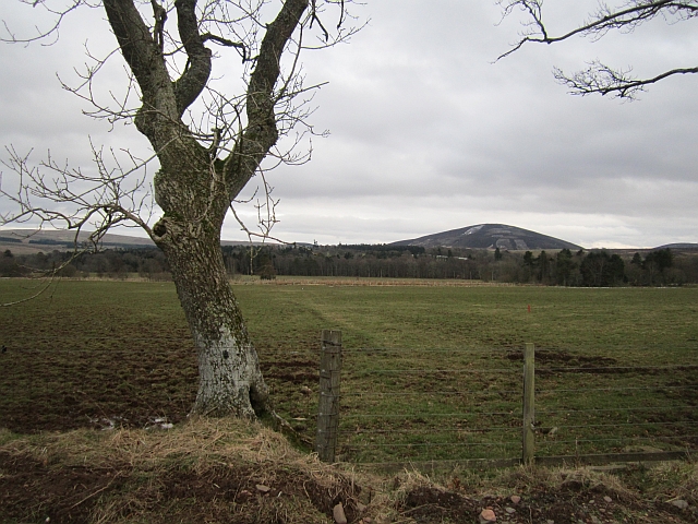
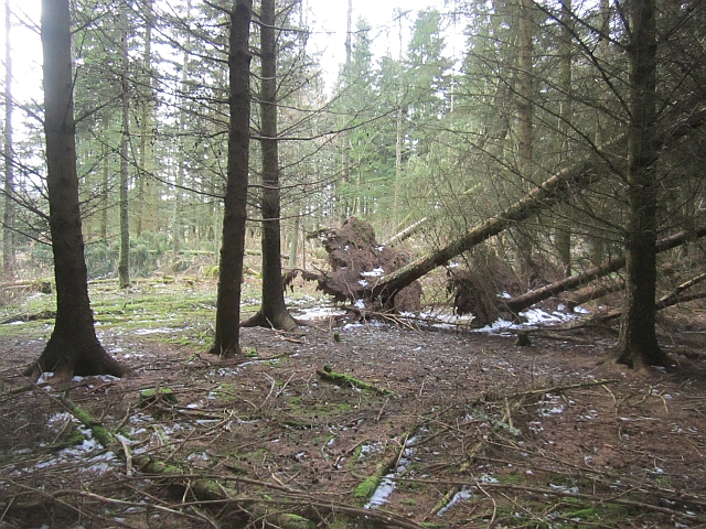
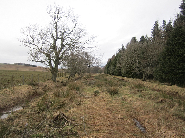
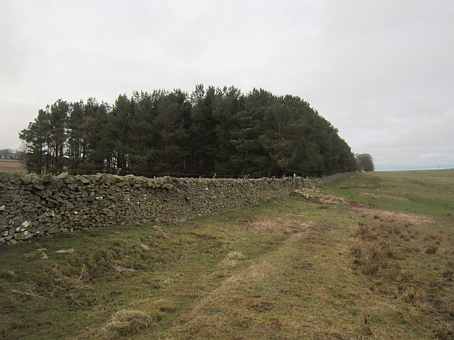
Gimmerland Plantation is a picturesque woodland located in Berwickshire, Scotland. Spread over an area of approximately 500 acres, it is nestled amidst the rolling hills and breathtaking landscapes of the Scottish Borders. The plantation primarily consists of a mixture of coniferous and deciduous trees, creating a diverse and vibrant ecosystem.

The woodland is known for its rich biodiversity, housing a wide range of flora and fauna. The canopy is dominated by majestic Scots pines, Douglas firs, and European beech trees, which provide a dense cover and shelter for numerous animal species. Underneath the towering trees, the forest floor is adorned with a carpet of ferns, mosses, and wildflowers, adding to the enchanting beauty of the woodland.

Gimmerland Plantation is not only a haven for nature enthusiasts but also offers various recreational opportunities. Well-maintained walking trails wind through the woodland, allowing visitors to explore its hidden treasures. The plantation is a popular destination for hikers, birdwatchers, and photographers, as it provides a tranquil and serene environment to connect with nature.

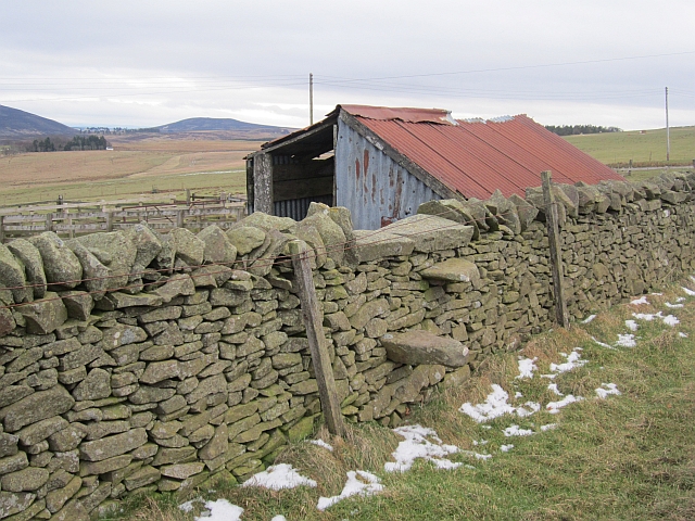
The woodland also holds historical significance, as remnants of ancient settlements and archaeological sites can be found scattered throughout the area. These artifacts offer a glimpse into the rich cultural heritage of the region, making Gimmerland Plantation a fascinating destination for history enthusiasts as well.

Overall, Gimmerland Plantation is a stunning woodland, where visitors can immerse themselves in the beauty of nature, engage in outdoor activities, and appreciate the historical richness of the area.

If you have any feedback on the listing, please let us know in the comments section below.

Gimmerland Plantation Images

Images are sourced within 2km of 55.825442/-2.5107312 or Grid Reference NT6859. Thanks to Geograph Open Source API. All images are credited.

Road Closed? The road to Gifford from Longformacus is viewed here with the sign indicating the road to Horseupcleuch visible to the left.  A 121 point turn and the use of a shovel was required shortly after this photograph was taken!
Road Closed?
The road to Gifford from Longformacus is viewed here with the sign indicating the road to Horseupcleuch visible to the left. A 121 point turn and the use of a shovel was required shortly after this photograph was taken!
Snow Off A Dyke Melting snow on a drystone dyke north of Longformacus on the slope of Sinclair's Hill.
Snow Off A Dyke
Melting snow on a drystone dyke north of Longformacus on the slope of Sinclair's Hill.
Ash, Muirton The road to Muirton is tree lined. The field was occupied by curlews, geese (species unknown) and peewits.
Ash, Muirton
The road to Muirton is tree lined. The field was occupied by curlews, geese (species unknown) and peewits.
Twiggy's Belt Wind thrown trees in a conifer plantation. Older maps show no woodland here, so the name may be as modern as it sounds.
Twiggy's Belt
Wind thrown trees in a conifer plantation. Older maps show no woodland here, so the name may be as modern as it sounds.
Peat Ford A wide trackway between two ditches. Other than appearing on the Scottish Borders Council core paths map, it is no longer used. If you follow this, you need to jump a few ditches running at right angles across the route and find the stiles in and out of Twiggy's Belt.
Peat Ford
A wide trackway between two ditches. Other than appearing on the Scottish Borders Council core paths map, it is no longer used. If you follow this, you need to jump a few ditches running at right angles across the route and find the stiles in and out of Twiggy's Belt.
Dyeshaugh Plantation A long established small woodland by Redpath
Dyeshaugh Plantation
A long established small woodland by Redpath
Dyke, Redpath The woodland is a recent addition to the landscape, it does not appear on older maps.
Dyke, Redpath
The woodland is a recent addition to the landscape, it does not appear on older maps.
Townhead Plantation A small wood, next to a house.
Townhead Plantation
A small wood, next to a house.
Stile, Redpath A stone stile off the road to Redpath.
Stile, Redpath
A stone stile off the road to Redpath.
Moorland Road, Longformacus Some remaining snow after a few showers earlier in the week.
Moorland Road, Longformacus
Some remaining snow after a few showers earlier in the week.
Drive, Muirton A straight ash and beech lined road.
Drive, Muirton
A straight ash and beech lined road.
Curlingpond Strip The end of the strip wood furthest from the curling pond.
Curlingpond Strip
The end of the strip wood furthest from the curling pond.
Gas pipeline marker, Muirton Marker pole for a pipeline which crosses the Lammermuir Hills.
Gas pipeline marker, Muirton
Marker pole for a pipeline which crosses the Lammermuir Hills.
Crook Burn East Near the rising of the burn, a very muddy and wet reentrant in a field.
Crook Burn East
Near the rising of the burn, a very muddy and wet reentrant in a field.
Fields, Redpath The road to Dyeshaugh crosses the field.
Fields, Redpath
The road to Dyeshaugh crosses the field.
Beside Manse Wood The path up the Dye Water follows the edge of the wood, a different route to the one shown on maps. The wood is mostly coniferous, behind the big beeches.
Beside Manse Wood
The path up the Dye Water follows the edge of the wood, a different route to the one shown on maps. The wood is mostly coniferous, behind the big beeches.
Manse Wood Much of Manse Wood is a conifer strip.
Manse Wood
Much of Manse Wood is a conifer strip.
Quarry workings, Sinclair's Slack Rough grazing and evidence of stone being worked.
Quarry workings, Sinclair's Slack
Rough grazing and evidence of stone being worked.
Show me another place!

Gimmerland Plantation is located at Grid Ref: NT6859 (Lat: 55.825442, Lng: -2.5107312)

Unitary Authority: The Scottish Borders

Police Authority: The Lothians and Scottish Borders

What 3 Words

///users.bandwagon.sunblock. Near Duns, Scottish Borders

Related Wikis

Longformacus

Longformacus (Scottish Gaelic: Longphort Mhacais) is a small village in Berwickshire in the Scottish Borders area of Scotland. It is around 10 kilometres...

Longformacus House

Longformacus House is a mansion near the village of Longformacus, Scottish Borders, Scotland. == History == The estate was once owned by the Earls of...

Cranshaws Castle

Cranshaws Castle or Cranshaws Tower is a privately owned 15th-century pele situated by the village of Cranshaws in Berwickshire, Scotland. The building...

Cranshaws

Cranshaws is a village on the B6355 road, near Duns, in the Scottish Borders area of Scotland, in the former Berwickshire. Of Cranshaws Castle only the...

Bothwell Water

The Bothwell Water is a river in the Scottish Borders area of Scotland. It rises in the Lammermuir Hills near Caldercleugh and continues past the Upper...

Dye Water

The Dye Water (Scottish Gaelic: Uisge DhĂ idh) is a river in the Lammermuir Hills in the Scottish Borders area of Scotland. It rises in the Hope Hills,...

Watch Water

The Watch Water is a river in the Scottish Borders area of Scotland. It rises in the Lammermuir Hills, around 8 kilometres (5.0 mi) west of Longformacus...

Dirrington Great Law

Dirrington Great Law is a hill in the Scottish Borders area of Scotland, in the former county of Berwickshire. The summit is around 2.5 kilometres (1.6...

Nearby Amenities

Located within 500m of 55.825442,-2.5107312
Barrier: cattle_grid
Lat/Long: 55.8212798/-2.5079209
Wrunk Law
Ele: 364
Natural: peak
Lat/Long: 55.8226508/-2.5166392
The data included in this document is from www.openstreetmap.org. The data is made available under ODbL.

Have you been to Gimmerland Plantation?

Leave your review of Gimmerland Plantation below (or comments, questions and feedback).