Chapel End
Settlement in Bedfordshire
England
Chapel End

Chapel End is a small village located in the county of Bedfordshire, England. Situated approximately 5 miles northeast of the town of Bedford, it is nestled within the picturesque Bedfordshire countryside. With a population of around 500 residents, Chapel End exudes a charming and close-knit community atmosphere.
The village is known for its rich history, dating back to medieval times. It is believed that a chapel once stood in the village, hence the name "Chapel End." Today, the remnants of this historic chapel can still be seen, adding to the village's character and heritage.
Chapel End is predominantly a residential area, with quaint cottages and picturesque houses lining its streets. The village offers a peaceful and tranquil environment, away from the hustle and bustle of larger urban areas. The surrounding countryside provides ample opportunities for outdoor activities such as walking, hiking, and cycling.
Despite its small size, Chapel End has a strong sense of community spirit. It boasts a village hall that serves as a hub for various social and recreational activities, including community gatherings, events, and clubs. The village also has a primary school, ensuring that younger residents have access to quality education within their local area.
In terms of amenities, Chapel End is in close proximity to the town of Bedford, which offers a wider range of services such as shops, restaurants, and healthcare facilities. The village is well-connected to other parts of Bedfordshire via road networks, making it easily accessible for both residents and visitors alike.
Overall, Chapel End is a charming and historic village that offers a peaceful and idyllic countryside living experience, while still being within reach of larger towns and amenities.
If you have any feedback on the listing, please let us know in the comments section below.
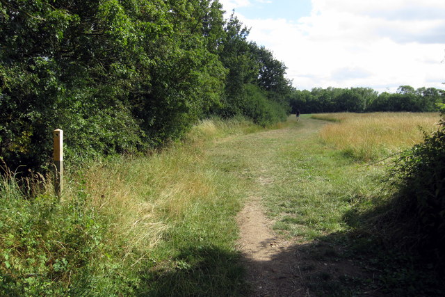
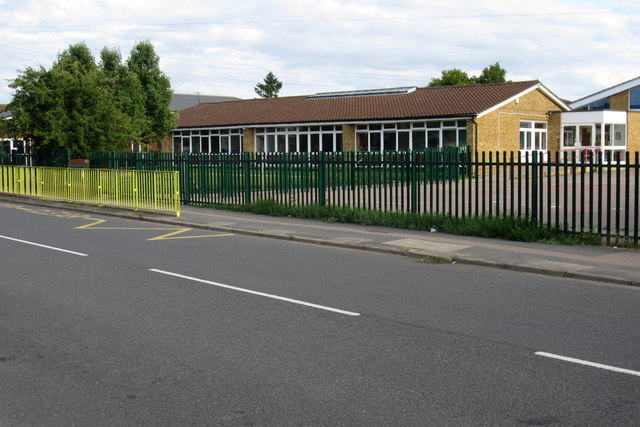
Chapel End Images
Images are sourced within 2km of 52.066304/-0.463081 or Grid Reference TL0542. Thanks to Geograph Open Source API. All images are credited.


Chapel End is located at Grid Ref: TL0542 (Lat: 52.066304, Lng: -0.463081)
Unitary Authority: Central Bedfordshire
Police Authority: Bedfordshire
What 3 Words
///catchers.shrug.dispose. Near Houghton Conquest, Bedfordshire
Nearby Locations
Related Wikis

Houghton Conquest
Houghton Conquest is a village and civil parish located in the Central Bedfordshire district of Bedfordshire, England. The parish also includes the hamlet...
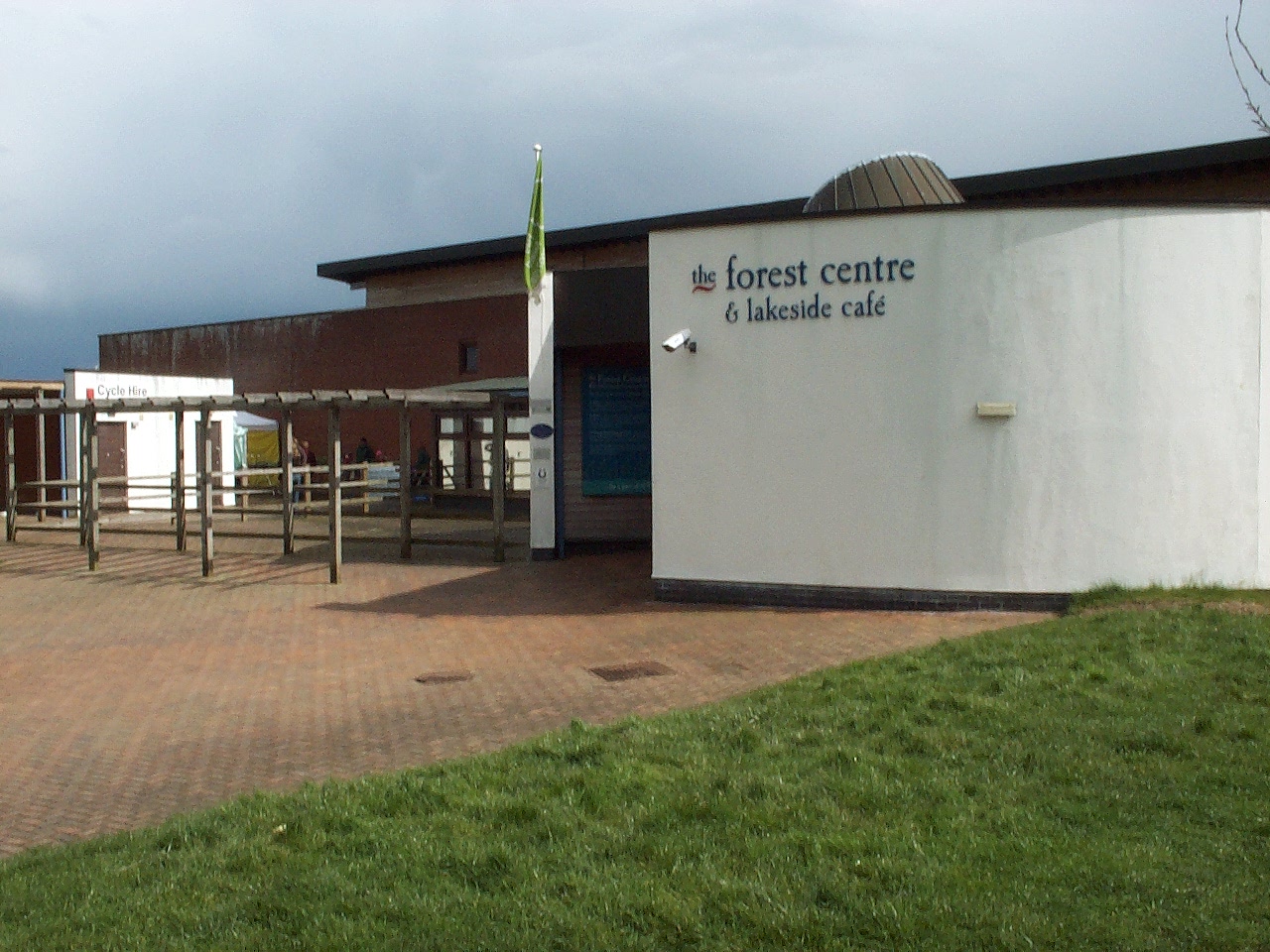
Forest of Marston Vale
The Forest of Marston Vale is an evolving community forest in Marston Vale, which runs south west from the towns of Bedford and Kempston in Bedfordshire...
Church of All Saints, Houghton Conquest
Church of All Saints is a Grade I listed church in Houghton Conquest, Bedfordshire, England. It became a listed building on 23 January 1961. The parish...

Kings Wood and Glebe Meadows, Houghton Conquest
Kings Wood and Glebe Meadows is a 36.1-hectare (89-acre) Site of Special Scientific Interest in Houghton Conquest in Bedfordshire. A local teenage boy...
Nearby Amenities
Located within 500m of 52.066304,-0.463081Have you been to Chapel End?
Leave your review of Chapel End below (or comments, questions and feedback).