Crow Wood
Wood, Forest in Banffshire
Scotland
Crow Wood
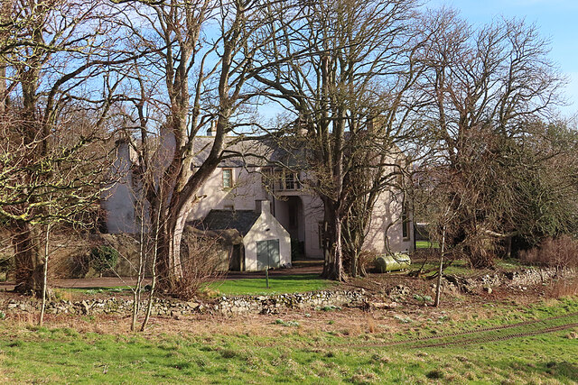
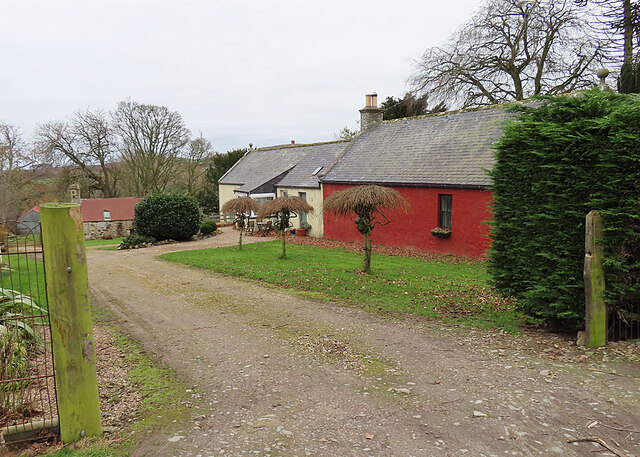
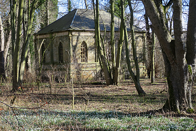
Crow Wood is a picturesque forest located in Banffshire, a historic county in northeastern Scotland. Spread across an area of approximately 100 acres, this wood is known for its rich biodiversity and tranquil environment. It is situated near the village of Crovie, just a few miles from the coast of the North Sea.
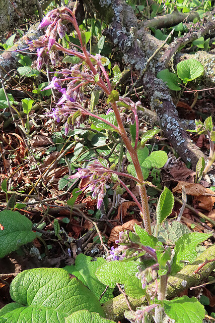
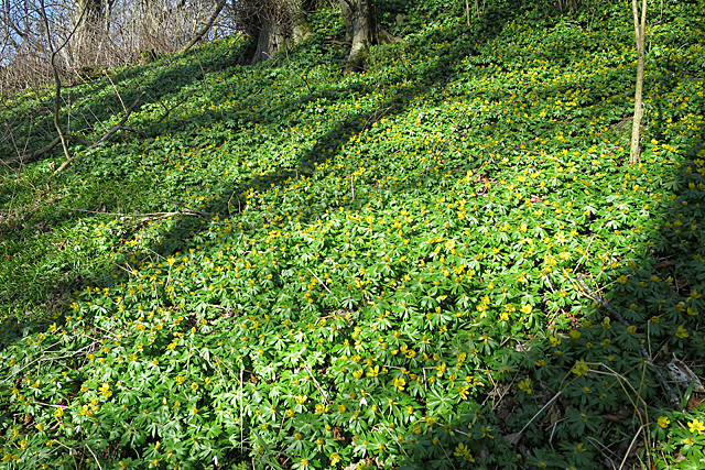
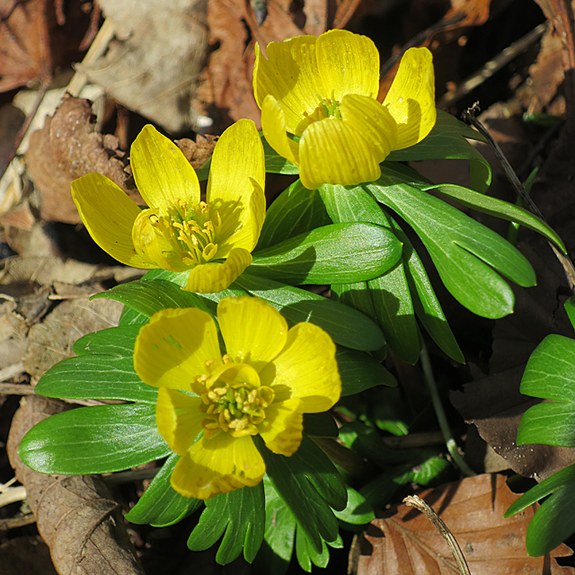
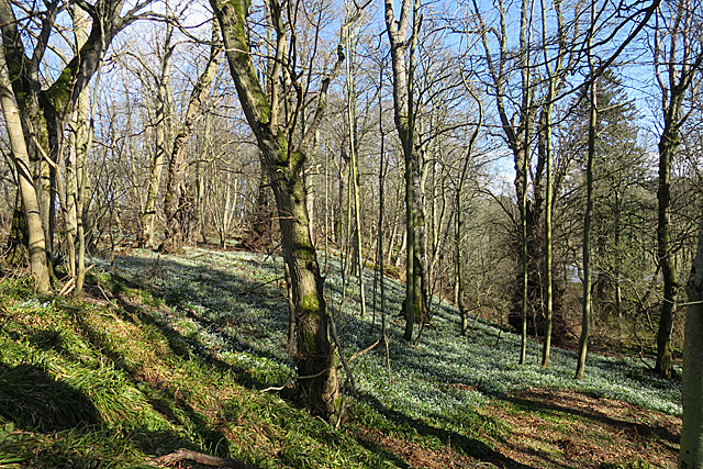
The wood is predominantly made up of native broadleaf trees, including oak, birch, and rowan. These towering trees create a dense canopy that allows only dappled sunlight to filter through, resulting in a cool and shaded atmosphere. The forest floor is covered with a thick carpet of mosses, ferns, and wildflowers, adding to the natural beauty of the wood.
As visitors venture deeper into the wood, they will discover a network of well-maintained trails that wind through the trees. These paths offer an opportunity for leisurely walks, nature photography, or simply enjoying the peaceful ambiance. Many species of birds can be spotted in Crow Wood, including the namesake carrion crows, as well as woodpeckers, chaffinches, and thrushes.
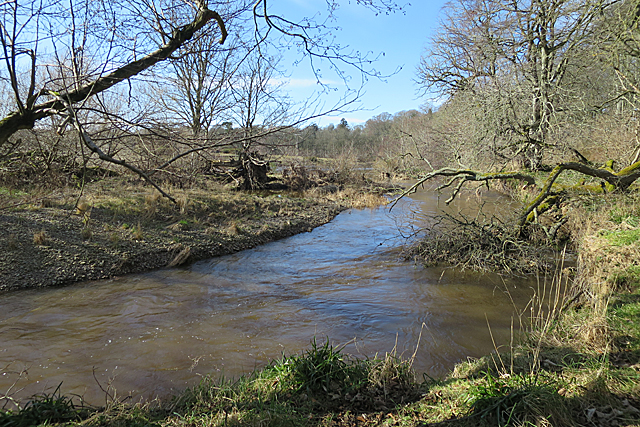
The wood is also home to a diverse range of wildlife, such as red squirrels, roe deer, and various species of bats. A small stream runs through the wood, providing a water source for these animals and adding to the overall charm of the area.
Crow Wood is a popular destination for nature lovers and outdoor enthusiasts who seek solace in the beauty of nature. The wood's serene atmosphere and abundant wildlife make it a haven for those looking to escape the hustle and bustle of everyday life.
If you have any feedback on the listing, please let us know in the comments section below.
Crow Wood Images
Images are sourced within 2km of 57.640399/-2.5501354 or Grid Reference NJ6761. Thanks to Geograph Open Source API. All images are credited.


Crow Wood is located at Grid Ref: NJ6761 (Lat: 57.640399, Lng: -2.5501354)
Unitary Authority: Aberdeenshire
Police Authority: North East
What 3 Words
///printouts.guess.grazes. Near Banff, Aberdeenshire
Nearby Locations
Related Wikis
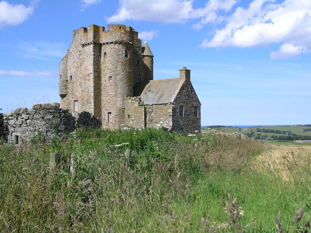
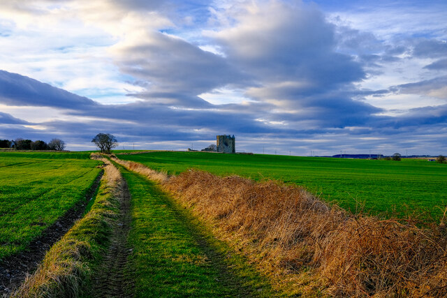
Inchdrewer Castle
Inchdrewer Castle is a 16th-century tower house in the parish of Banff, Aberdeenshire, in the north-east of Scotland. Situated on a slight rise 3.5 miles...

Banff Academy
Banff Academy is a S1–S6 secondary school in Banff, Aberdeenshire, Scotland. It serves the towns of Banff, Macduff, Whitehills, Portsoy, Aberchirder, Gardenstown...

Duff House
Duff House is a Georgian estate house in Banff, Aberdeenshire, Scotland. Now in the care of Historic Environment Scotland, it is part of the National Galleries...
Duff House Royal Golf Club
Duff House Royal Golf Club is a Championship Course and one of the best golf courses in Aberdeenshire. Located in Banff, Scotland it was founded in 1910...
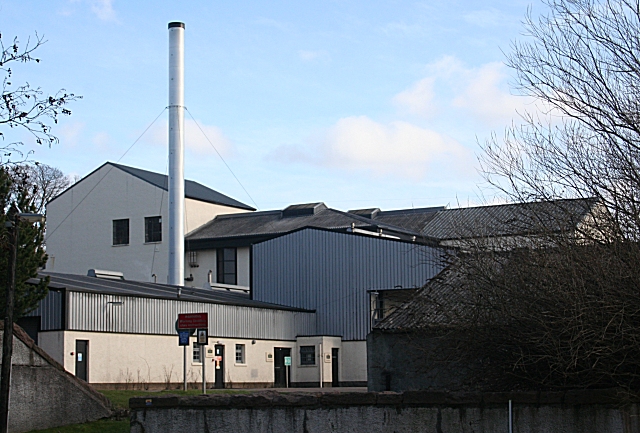
Macduff distillery
Macduff distillery is a single malt Scotch whisky distillery in Macduff in the Highland whisky producing area of Scotland. == History == The Macduff Distillery...

Banff Sheriff Court
Banff Sheriff Court is a judicial structure in Low Street, Banff, Aberdeenshire, Scotland. The structure, which was the headquarters of Banffshire County...

Banff distillery
Banff distillery was a producer of single malt Scotch whisky that operated between 1863 and 1983. == History == The first distillery to use the name "Banff...
Bridgefoot Halt railway station
Bridgefoot Halt railway station was opened in 1914. The halt was in the settlement of Bridgefoot close to the town of Banff. The line from Tillynaught...
Nearby Amenities
Located within 500m of 57.640399,-2.5501354Have you been to Crow Wood?
Leave your review of Crow Wood below (or comments, questions and feedback).