Hays Hillock
Hill, Mountain in Banffshire
Scotland
Hays Hillock
Hays Hillock is a prominent hill located in the region of Banffshire, Scotland. Situated in the northeastern part of the country, it stands at an elevation of approximately 366 meters (1,201 feet) above sea level. The hill is well-known for its picturesque views and distinctive shape, making it a popular destination for nature enthusiasts, hikers, and photographers.
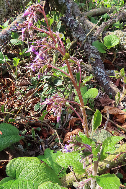
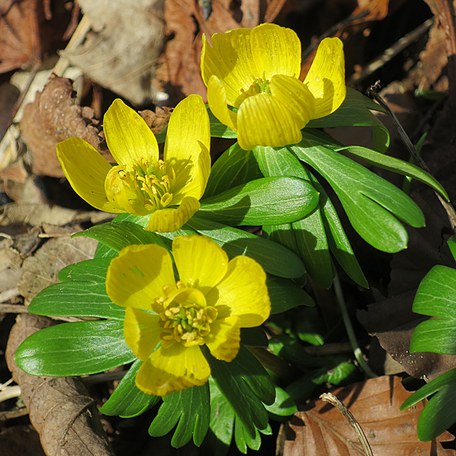
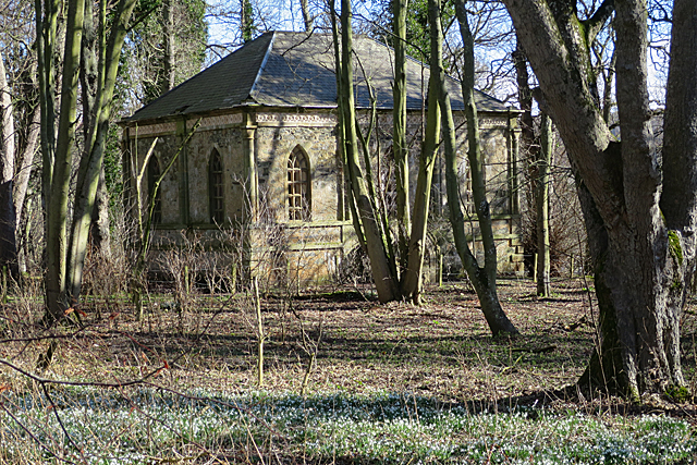
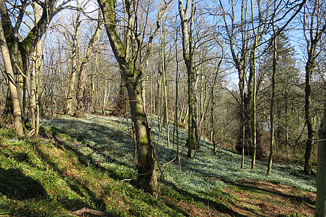
Hays Hillock boasts a rounded summit, adorned with a carpet of vibrant heather and grass, especially during the summer months. Its slopes are covered with a mix of grasses, bracken, and scattered trees, creating a diverse and visually appealing landscape. The hill also offers panoramic vistas of the surrounding countryside, including the rolling hills and valleys of Banffshire, as well as the nearby coastline and the North Sea.
Accessing Hays Hillock is relatively straightforward, with a number of well-defined footpaths leading to the summit. These trails are suitable for walkers of all abilities, although some sections can be steep and challenging. The hill is often frequented by locals and tourists alike, who come to enjoy the tranquility and natural beauty it offers.
In addition to its recreational value, Hays Hillock has historical significance. It is believed that the hill played a role in ancient settlements, with remnants of prehistoric structures discovered in the vicinity. These archaeological finds contribute to the area's cultural heritage and make it an interesting destination for those interested in history and archaeology.
Overall, Hays Hillock is a captivating hill in Banffshire, offering breathtaking views, diverse vegetation, and a connection to the region's past.
If you have any feedback on the listing, please let us know in the comments section below.
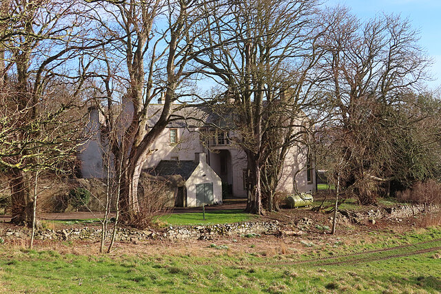
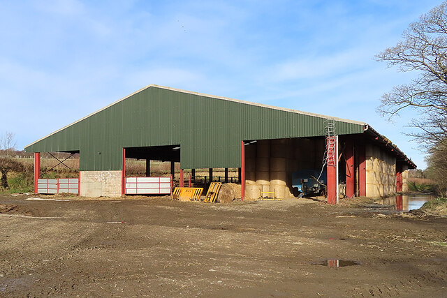
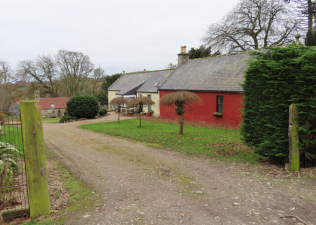
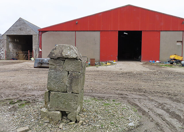
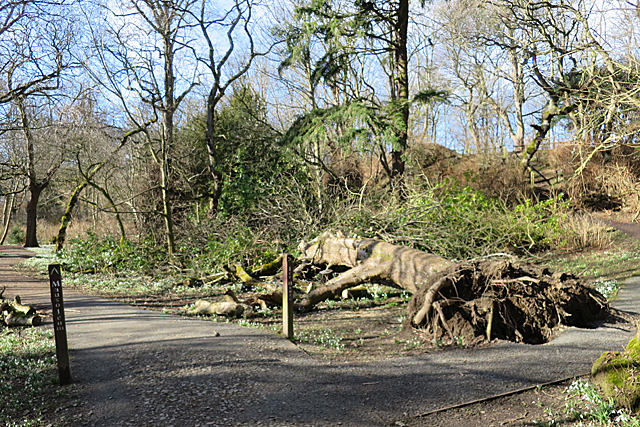
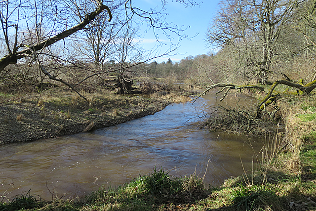
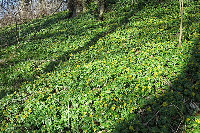
Hays Hillock Images
Images are sourced within 2km of 57.638756/-2.5437123 or Grid Reference NJ6761. Thanks to Geograph Open Source API. All images are credited.


Hays Hillock is located at Grid Ref: NJ6761 (Lat: 57.638756, Lng: -2.5437123)
Unitary Authority: Aberdeenshire
Police Authority: North East
What 3 Words
///cashier.certainty.scripted. Near Banff, Aberdeenshire
Nearby Locations
Related Wikis
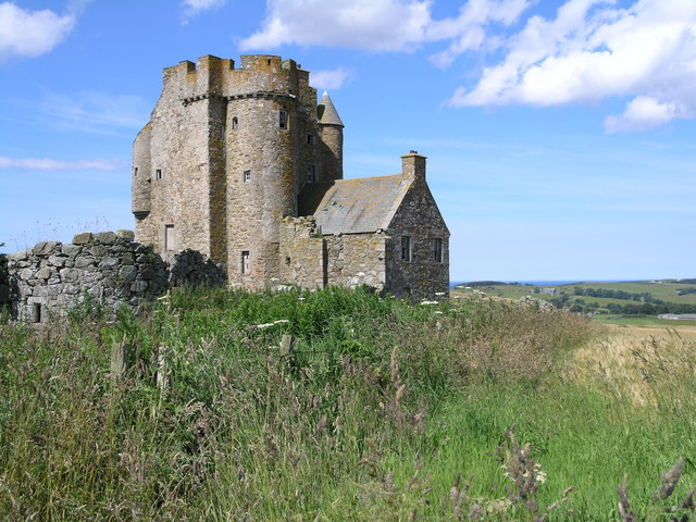
Inchdrewer Castle
Inchdrewer Castle is a 16th-century tower house in the parish of Banff, Aberdeenshire, in the north-east of Scotland. Situated on a slight rise 3.5 miles...

Duff House
Duff House is a Georgian estate house in Banff, Aberdeenshire, Scotland. Now in the care of Historic Environment Scotland, it is part of the National Galleries...

Banff Academy
Banff Academy is a S1–S6 secondary school in Banff, Aberdeenshire, Scotland. It serves the towns of Banff, Macduff, Whitehills, Portsoy, Aberchirder, Gardenstown...
Duff House Royal Golf Club
Duff House Royal Golf Club is a Championship Course and one of the best golf courses in Aberdeenshire. Located in Banff, Scotland it was founded in 1910...
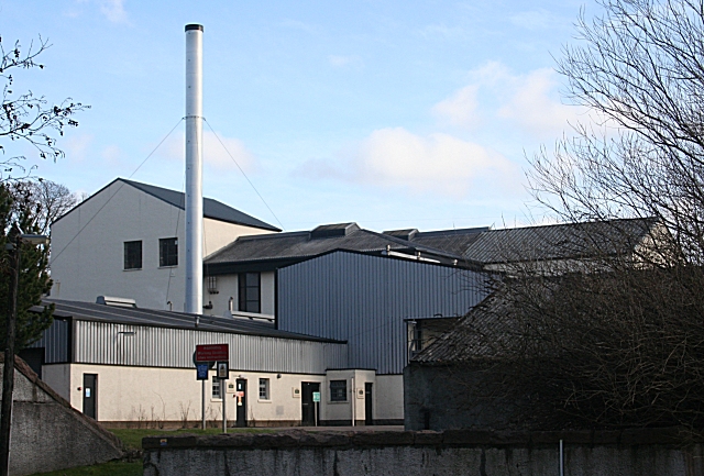
Macduff distillery
Macduff distillery is a single malt Scotch whisky distillery in Macduff in the Highland whisky producing area of Scotland. == History == The Macduff Distillery...

Banff Sheriff Court
Banff Sheriff Court is a judicial structure in Low Street, Banff, Aberdeenshire, Scotland. The structure, which was the headquarters of Banffshire County...

Princess Royal Park
Princess Royal Park is a football ground in the town of Banff in the north-east of Scotland, which is the home ground of Highland Football League side...

Banff Town House
Banff Town House is a municipal building in Low Street, Banff, Aberdeenshire, Scotland. The building, which is used as a customer service point and job...
Nearby Amenities
Located within 500m of 57.638756,-2.5437123Have you been to Hays Hillock?
Leave your review of Hays Hillock below (or comments, questions and feedback).