Charter Plantation
Wood, Forest in Roxburghshire
Scotland
Charter Plantation

The requested URL returned error: 429 Too Many Requests
If you have any feedback on the listing, please let us know in the comments section below.
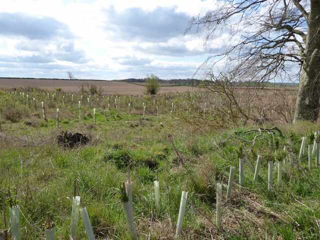
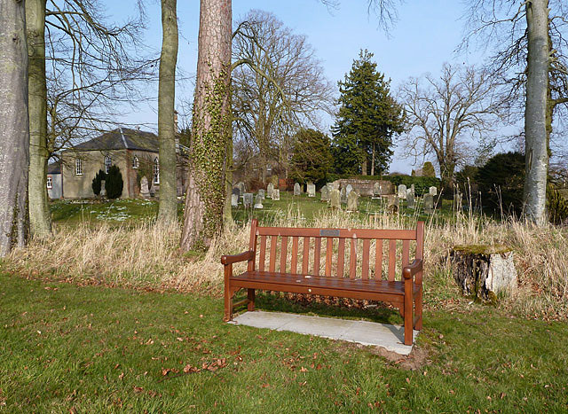
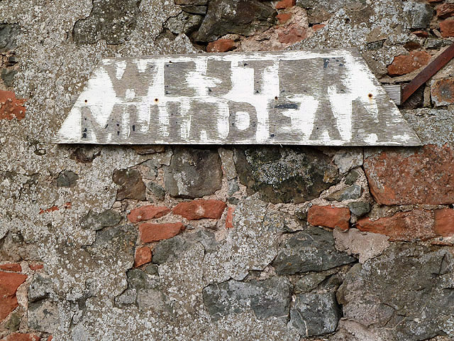
Charter Plantation Images
Images are sourced within 2km of 55.608001/-2.523123 or Grid Reference NT6735. Thanks to Geograph Open Source API. All images are credited.


Charter Plantation is located at Grid Ref: NT6735 (Lat: 55.608001, Lng: -2.523123)
Unitary Authority: The Scottish Borders
Police Authority: The Lothians and Scottish Borders
What 3 Words
///proposals.custard.sigh. Near Kelso, Scottish Borders
Nearby Locations
Related Wikis

Nenthorn
Nenthorn is a parish and hamlet in the south of the historic county of Berwickshire in the Scottish Borders area of Scotland. It is included in the Floors...

Makerstoun
Makerstoun is a parish in the Scottish Borders area of Scotland, as well as the historic county of Roxburghshire, 4 miles (6 km) south-west of Kelso.The...

Smailholm
Smailholm (Scots: Smailhowm) is a small village in the historic county of Roxburghshire in south-east Scotland. It is at grid reference NT648364 and straddles...

Smailholm Tower
Smailholm Tower is a peel tower at Smailholm, around five miles (8 km) west of Kelso in the Scottish Borders. Its dramatic situation, atop a crag of Lady...
Nearby Amenities
Located within 500m of 55.608001,-2.523123Have you been to Charter Plantation?
Leave your review of Charter Plantation below (or comments, questions and feedback).