Long Plantation

Wood, Forest in Roxburghshire

Scotland

Long Plantation

Small Reservoir Compound with Triangulation Pillar at Dolphinston Looking southward.
Small Reservoir Compound with Triangulation Pillar at Dolphinston Credit: Peter Wood

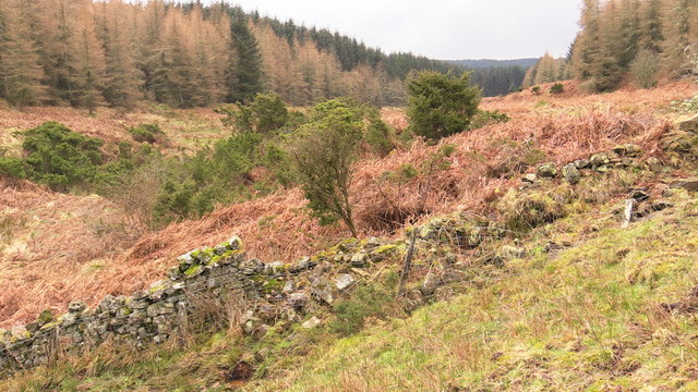
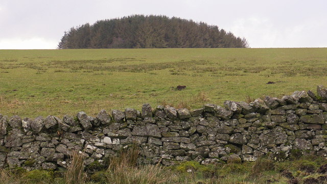
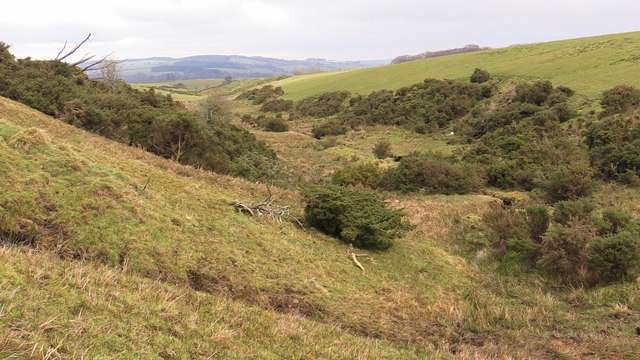
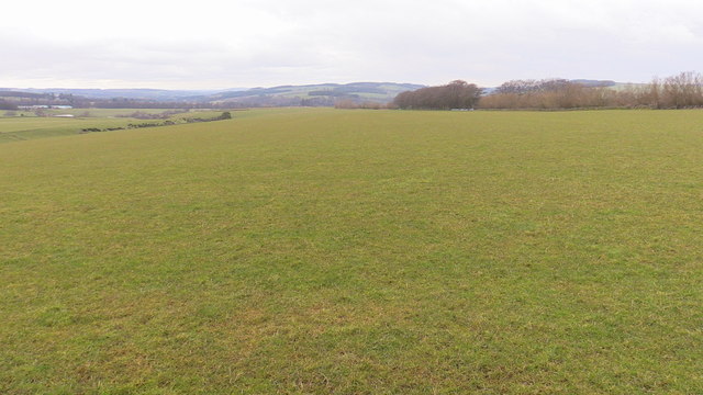
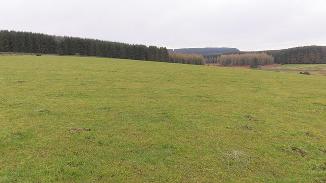
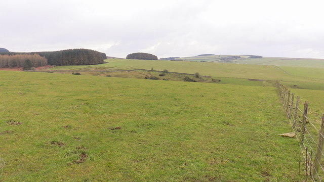
Long Plantation is a picturesque woodland area located in the county of Roxburghshire, Scotland. Situated near the small village of Longformacus, the plantation covers a vast expanse of approximately 400 acres. It is renowned for its rich diversity of trees and is often referred to as a forest due to its size and density.

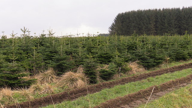
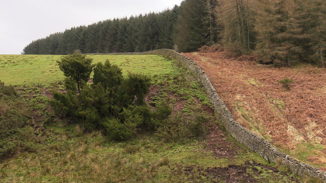
The woodland is predominantly composed of native Scottish tree species, including oak, beech, birch, and Scots pine. The trees form a dense canopy, providing a habitat for a wide variety of wildlife. The plantation is home to numerous bird species, such as red kites, buzzards, and woodpeckers, making it a popular spot for birdwatchers.

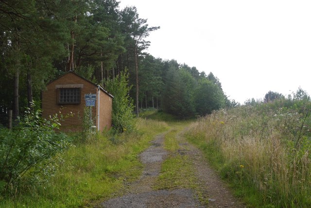
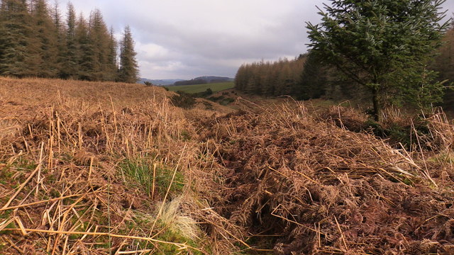
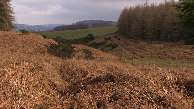
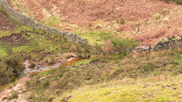
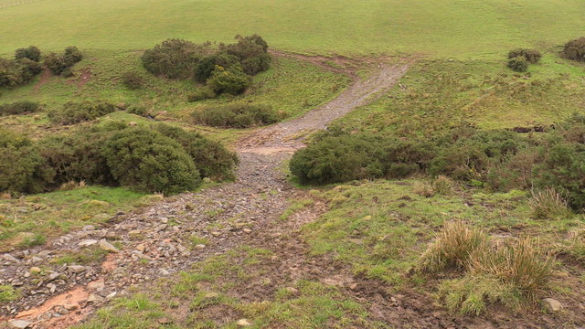
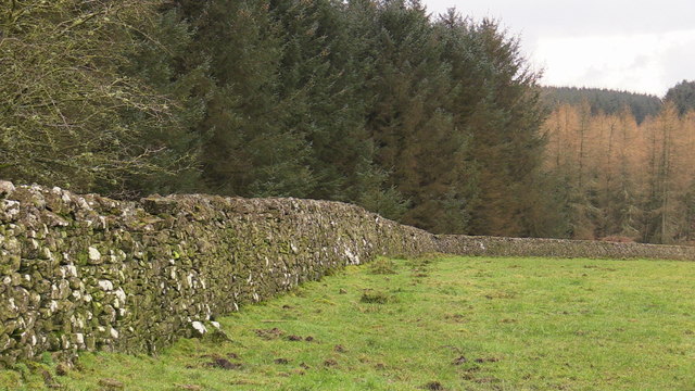
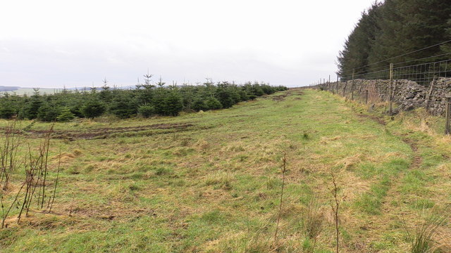
Long Plantation is crisscrossed by several well-maintained walking trails, allowing visitors to explore the natural beauty of the area. These trails offer breathtaking views of the surrounding countryside, with rolling hills and meandering streams adding to the charm of the landscape.

The plantation is also a significant historical site, with remnants of ancient settlements and stone circles found within its boundaries. These archaeological features provide insight into the area's rich cultural heritage and attract archaeology enthusiasts and history buffs.

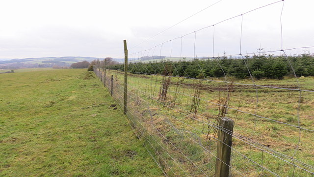
Long Plantation is managed by the local forestry authority, ensuring the preservation of its natural resources and the protection of its biodiversity. The woodland serves as an important carbon sink, contributing to the fight against climate change.

Overall, Long Plantation is a haven for nature lovers, offering a tranquil escape from the hustle and bustle of modern life. Its stunning scenery, diverse wildlife, and historical significance make it a must-visit destination for those seeking a connection with nature and a glimpse into Scotland's past.

If you have any feedback on the listing, please let us know in the comments section below.

Long Plantation Images

Images are sourced within 2km of 55.419665/-2.5249742 or Grid Reference NT6614. Thanks to Geograph Open Source API. All images are credited.

Small Reservoir Compound with Triangulation Pillar at Dolphinston Looking southward.
Small Reservoir Compound with Triangulation Pillar at Dolphinston
Looking southward.
Track beside the Shaw Burn A track passes a somewhat overgrown looking pumping station building.
Track beside the Shaw Burn
A track passes a somewhat overgrown looking pumping station building.
Forest 'plantation' 7 years on near Mervinslaw, Jedburgh I think it was a nursery plantation perhaps now producing a crop of Xmas trees in the season. Many farms in the surrounding area have similar strips of very closely planted seedlings which makes sense when there is, I presume, so much demand locally for re-planting material. However these specimens are well past the transplanting stage.Perhaps a planning error or maybe I've got it all wrong!
Forest 'plantation' 7 years on near Mervinslaw, Jedburgh
I think it was a nursery plantation perhaps now producing a crop of Xmas trees in the season. Many farms in the surrounding area have similar strips of very closely planted seedlings which makes sense when there is, I presume, so much demand locally for re-planting material. However these specimens are well past the transplanting stage.Perhaps a planning error or maybe I've got it all wrong!
Forest clearing in Belling Hill plantation near Jedburgh Although heavily ridged for planting it has been left free of trees along the length of the Appletree Burn. A little scouting reveals a faint path along the tree line which minimizes the hindrance of these ridges. As Spring comes on this will be harder to spot in the bracken.
Forest clearing in Belling Hill plantation near Jedburgh
Although heavily ridged for planting it has been left free of trees along the length of the Appletree Burn. A little scouting reveals a faint path along the tree line which minimizes the hindrance of these ridges. As Spring comes on this will be harder to spot in the bracken.
View from a clearing in Belling Hill plantation near Mervinslaw, Jedburgh
Looking up the course of Appletree Burn near Mervinslaw, Jedburgh A gin drinker's dream - a vigorous stand of juniper! Happily not the usual jungle of gorse as it appeared from a distance!
Looking up the course of Appletree Burn near Mervinslaw, Jedburgh
A gin drinker's dream - a vigorous stand of juniper! Happily not the usual jungle of gorse as it appeared from a distance!
Drystane dyke crossing Appletree Burn near Mervinslaw, Jedburgh Note the, for this size of stream, huge amount of silting - a legacy of late 2015 and the constant wet weather.
Drystane dyke crossing Appletree Burn near Mervinslaw, Jedburgh
Note the, for this size of stream, huge amount of silting - a legacy of late 2015 and the constant wet weather.
Juniper, proudly vigorous on Mervinslaw near Jedburgh
Shelter plantation west of Appletree Burn on Mervinslaw near Jedburgh
The course of Appletree Burn on Mervinslaw near Jedburgh
Attempted bridging of boggy courses by Appletree Burn on Mervinslaw
Stony track crossing Appletree Burn on Mervinslaw
Broad open ridge with prime grazing above Mervinslaw, Jedburgh
Grazing and forestry on Mervinslaw near Jedburgh The forest is bounded by a drystane dyke beyond which was likely open hill so it's not as if trees claimed grazing land.
Grazing and forestry on Mervinslaw near Jedburgh
The forest is bounded by a drystane dyke beyond which was likely open hill so it's not as if trees claimed grazing land.
Drystane dyke bounding forestry on Mervinslaw near Jedburgh
Looking back seven years on Mervinslaw woodland
Anti-deer measures on Mervinslaw
View across Appletree Burn on Mervinslaw near Jedburgh
Show me another place!

Long Plantation is located at Grid Ref: NT6614 (Lat: 55.419665, Lng: -2.5249742)

Unitary Authority: The Scottish Borders

Police Authority: The Lothians and Scottish Borders

What 3 Words

///crawler.moped.hologram. Near Jedburgh, Scottish Borders

Related Wikis

Camptown, Scottish Borders

Camptown is a small settlement on the A68, in the Scottish Borders area of Scotland, 5m (8 km) south of Jedburgh, and the same distance south to Carter...

Bairnkine

Bairnkine is a hamlet on the Jed Water in the Scottish Borders area of Scotland, on the A68, south of Jedburgh. Other places nearby include Abbotrule,...

Edgerston

Edgerston is a village and an estate about 4 miles (6.4 km) north of the Anglo-Scottish border, and 8 miles (13 km) south of Jedburgh in the Scottish Borders...

Ferniehirst Castle

Ferniehirst Castle (sometimes spelled Ferniehurst) is an L-shaped construction on the east bank of the Jed Water, about a mile and a half south of Jedburgh...

Nearby Amenities

Located within 500m of 55.419665,-2.5249742
Power: pole
Lat/Long: 55.4184477/-2.517528
Material: wood
Power: pole
Lat/Long: 55.4192062/-2.5179767
Material: wood
Power: pole
Lat/Long: 55.4193227/-2.5179671
Material: wood
Power: pole
Lat/Long: 55.4198282/-2.5179398
Material: wood
Power: pole
Lat/Long: 55.4204311/-2.5185841
Power: pole
Lat/Long: 55.4208512/-2.5191709
Power: pole
Lat/Long: 55.4213191/-2.5198727
Material: wood
Power: pole
Lat/Long: 55.4222354/-2.5202677
Material: wood
Power: pole
Lat/Long: 55.4229417/-2.5205496
Old Jedward
Place: isolated_dwelling
Lat/Long: 55.4224533/-2.5226007
Material: wood
Power: pole
Lat/Long: 55.4220695/-2.5216513
Material: wood
Power: pole
Lat/Long: 55.4218108/-2.5219989
Power: pole
Lat/Long: 55.4205336/-2.5294715
Power: pole
Lat/Long: 55.420063/-2.5274887
Power: pole
Lat/Long: 55.4196304/-2.5256734
Power: pole
Lat/Long: 55.4193352/-2.5244013
Power: pole
Lat/Long: 55.4189216/-2.5226349
Power: pole
Lat/Long: 55.418546/-2.5209792
Power: pole
Lat/Long: 55.4179409/-2.5184351
The data included in this document is from www.openstreetmap.org. The data is made available under ODbL.

Have you been to Long Plantation?

Leave your review of Long Plantation below (or comments, questions and feedback).