Amcotts
Settlement in Lincolnshire
England
Amcotts
Amcotts is a small village located in the North Lincolnshire district of Lincolnshire, England. Situated approximately 7 miles east of Scunthorpe, it has a population of around 500 residents. The village is positioned on the Isle of Axholme, an area known for its rich agricultural heritage.
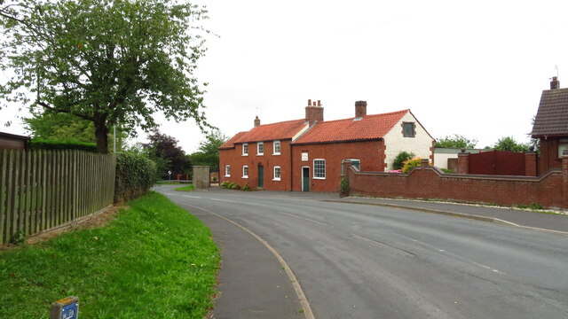
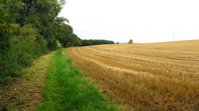
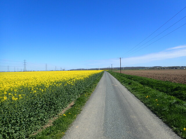
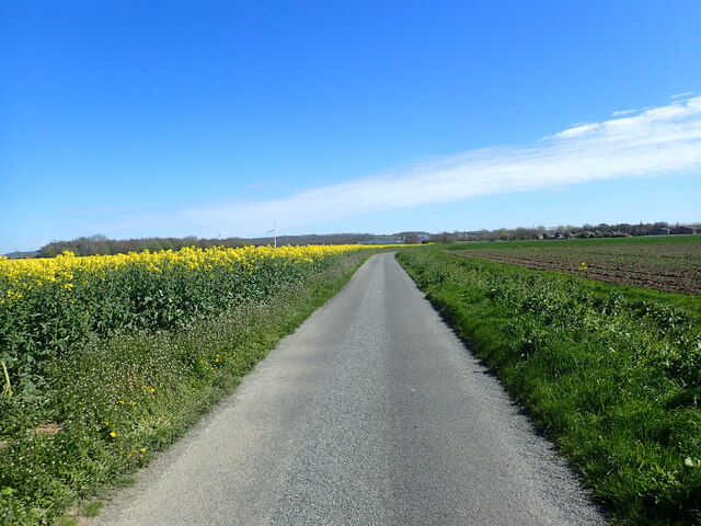
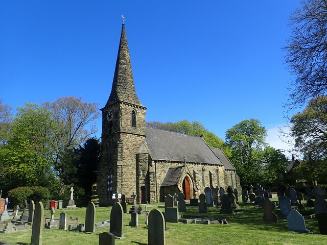
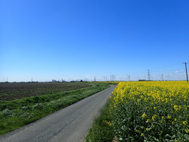
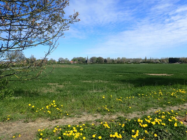
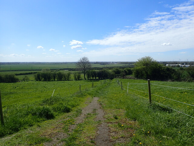
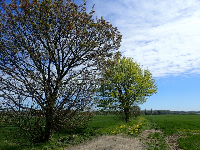
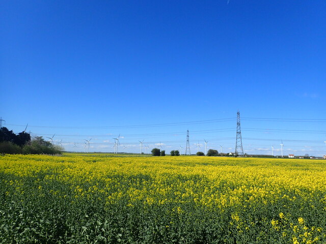
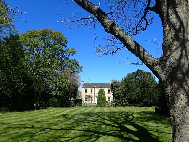
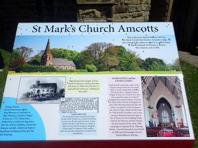
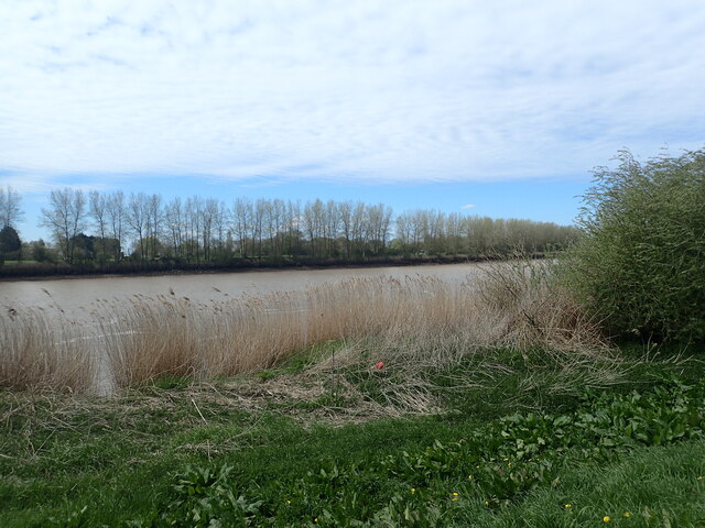
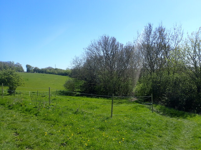
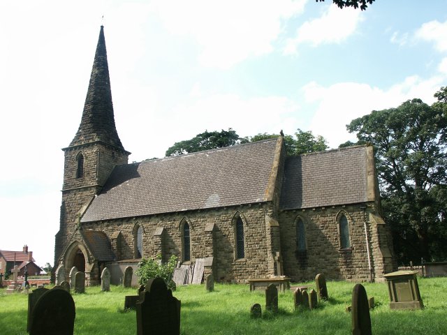
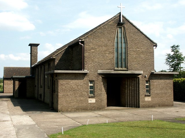
The landscape of Amcotts is characterized by flat, fertile farmland, which has been traditionally used for arable farming. The village itself is a peaceful and picturesque settlement, with a mix of charming cottages and more modern homes. It has a close-knit community feel, with a local pub, St. Mark’s Church, and a village hall serving as the central meeting points for residents.
Amcotts is well-connected to the surrounding areas, with good road links to nearby towns and cities. The village is conveniently located just off the A161 road, which connects it to Scunthorpe and Epworth. For those looking to travel by public transport, the nearest railway station is in Scunthorpe, providing easy access to major cities like Sheffield and Doncaster.
Despite its small size, Amcotts offers a range of amenities and services for its residents. The village has a primary school, providing education for local children, and there are also a number of shops and businesses catering to everyday needs.
Overall, Amcotts is a peaceful and welcoming village that offers a rural lifestyle with easy access to nearby towns and cities. Its idyllic setting and strong sense of community make it an attractive place to live for those seeking a quieter, countryside location.
If you have any feedback on the listing, please let us know in the comments section below.
Amcotts Images
Images are sourced within 2km of 53.616694/-0.710669 or Grid Reference SE8514. Thanks to Geograph Open Source API. All images are credited.

Amcotts is located at Grid Ref: SE8514 (Lat: 53.616694, Lng: -0.710669)
Division: Parts of Lindsey
Unitary Authority: North Lincolnshire
Police Authority: Humberside
What 3 Words
///powerful.lyricist.slows. Near Gunness, Lincolnshire
Nearby Locations
Related Wikis
Amcotts
Amcotts is a village and civil parish in the North Lincolnshire district of Lincolnshire, England, and on the Isle of Axholme. The village is situated...
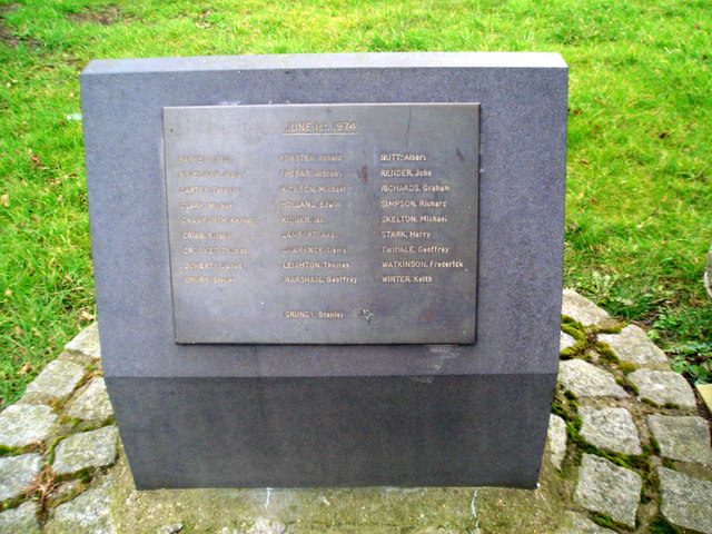
Flixborough disaster
The Flixborough disaster was an explosion at a chemical plant close to the village of Flixborough, North Lincolnshire, England, on 1 June 1974. It killed...
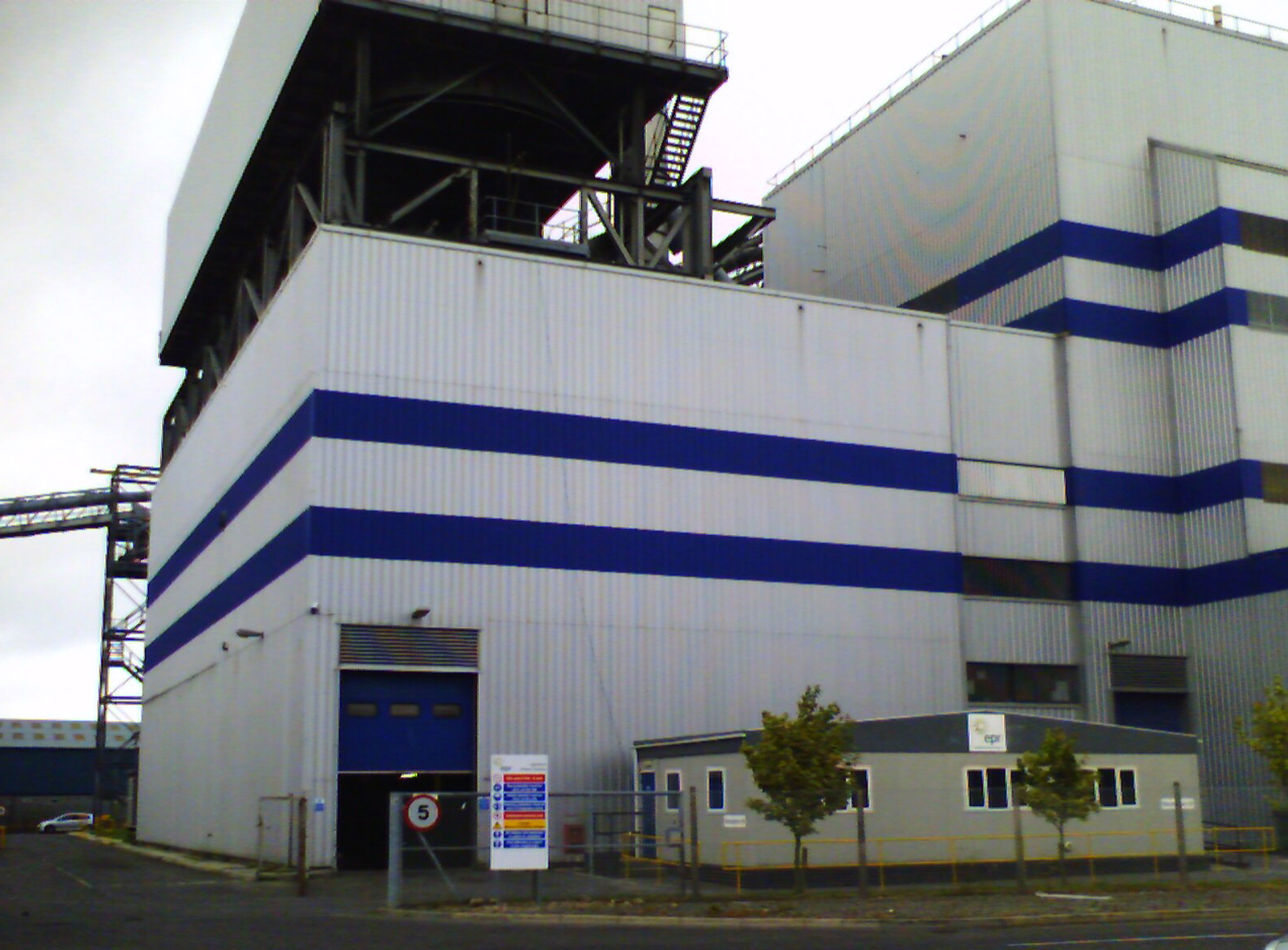
Glanford Power Station
Glanford Power Station is an electricity generating plant located on the Flixborough industrial estate near Scunthorpe in North Lincolnshire. It generates...

Pauper's Drain
Pauper’s Drain is a small tributary of the River Trent in North Lincolnshire, England, and is 9 km (6 miles) long.It has a catchment area of 42 square...

Flixborough
Flixborough is a village and civil parish in North Lincolnshire, England. The population of the civil parish at the 2011 census was 1,664. It is situated...

Atkinsons Warren
Atkinsons Warren is a large area of woodland in northwest Scunthorpe, North Lincolnshire, England. It is a Local Nature Reserve, and includes a meadow...
Gunness
Gunness (or Gunhouse) is a village and civil parish in North Lincolnshire, England. It is situated 3 miles (5 km) west from Scunthorpe, and on the east...

Crosby, Lincolnshire
Crosby was a small hamlet in Lincolnshire which has grown into a suburb in the north of Scunthorpe, North Lincolnshire. Remnants of the old hamlet can...
Nearby Amenities
Located within 500m of 53.616694,-0.710669Have you been to Amcotts?
Leave your review of Amcotts below (or comments, questions and feedback).